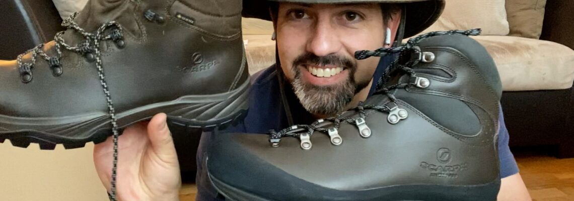
Exploring Canyon Creek Trail A hidden trailhead leads to a beautiful walk through the woods
Difficulty: Easy Best Seasons: Year round Fees: None Trail Stats (1-way): 1.7 miles 1.5 hours 200 ft elevation gain
Directions Difficulty: Easy to moderate Best Seasons: Early spring or early fall Fees: None Downloadable USGS Topo Maps: Kirkwood Creek The Nez Perce Indians called the area of Kirkwood Bar home … Read More
It’s our first big outing of the season, and an overnighter at that, so I thought I would create a gear list for this weekend’s hike out to Kirkwood Ranch … Read More
Difficulty: Moderate to difficult Best Seasons: Early spring or late fall Fees: None Downloadable Map: Craig Mountain Wildlife Management Area
Elevation Low: 2522 ft High: 2962 ft Distance: 3 miles Difficulty: Easy Best Seasons: Spring – Fall (Snowshoeing in Winter) Maps: Gaia Route FS Topo Fees: Free Directions: From Lewiston, take Highway … Read More
Elevation Low: 3163 ft High: 3301 ft Distance: 4 miles Difficulty: Difficult Best Seasons: Winter Maps: Gaia Track Forest Service Page Google Maps Fees: Free Directions: From Lewiston, take Highway 12 east past … Read More
Elevation Low: 2,880 ft High: 3,641 ft Distance: 1.5 miles to summit Difficulty: Moderate Best Seasons: Year-round Maps: Gaia Maps Track Fees: Free Directions: From Lewiston, Idaho, take Highway 95 north to the … Read More
Difficulty: Easy to moderate Best Seasons: Late spring to early fall Fees: None Downloadable USGS Topo Maps: FS Topo Gorman Hill (Trailhead) FS Topo Toboggan Ridge (Hanson Meadows)
Daryl and I did time together. He was a correctional officer at the Idaho Correctional Institution – Orofino while I was serving there as a Volunteer and Religious Services Coordinator. … Read More