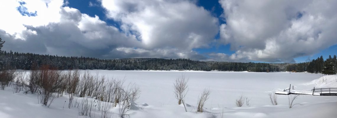
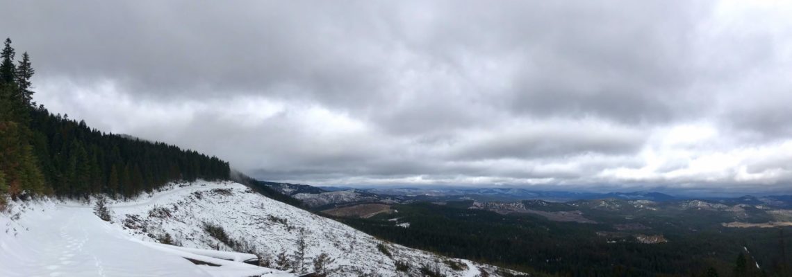
Strolling Around Wynoochee Lake
Elevation Low: ~800 ft High: ~1,000 ft Distance: 12 – 16 mile loop Difficulty: Easy to moderate Best Seasons: Late Spring to Early Fall Maps Wynoochee Lake Shore Trail Points of … Read More
Elevation Low: 600 ft High: 1000 ft Distance: 10.3 miles (one way) Difficulty: Easy to Moderate Best Seasons: Year round trail USGS Topo Map Quadrangles: Lightning Peak FS Topo Map (trailhead and lower … Read More
Trailhead Coordinates: 45.656273, -115.650857 Elevation Low: 7400 ft High: 8600 ft Gains: 1560 ft (one way) Distance: 6.8 miles (one way) Difficulty: Difficult Best Seasons: Summer Maps USGS Topo Map Quadrangle: North … Read More
Trailhead Coordinates: 46.345433, -115.309014 Elevation Low: 2000 ft High: 2640 ft Distance: 17 miles (one way) Difficulty: Moderate to Difficult Best Seasons: Late Spring to Early Fall Maps: USGS Topo … Read More
Trailhead Coordinates: 45.352411, -116.398703 Elevation: 2200 ft Overall elevation gain is minimal within the first 4 miles, but the trail does rise a fall along the hillside quite a bit. … Read More
Address: 1786 Forest Rd, Winchester, ID 83555 Elevation: 3920 ft Gains: 40 ft (80 ft if side trails are used) Distance: 3.3 miles (+1.5 miles of side trail) Difficulty: Easy Best … Read More
A Sunny Start to 2019 It was a beautiful day for a hike. Sunny skies on a cool day, just warm enough to strip a layer while hiking but cool … Read More
2018 introduced me to snowshoeing with a solo hike on the Fish Creek trails in Grangeville. It also introduced me to new friends on a day hike up Rapid River … Read More
Apparently, 40% is betting odds for rain in the Lochsa. But there was nothing ominous about the clouds that sat low on the mountaintops and graced us with a light, … Read More