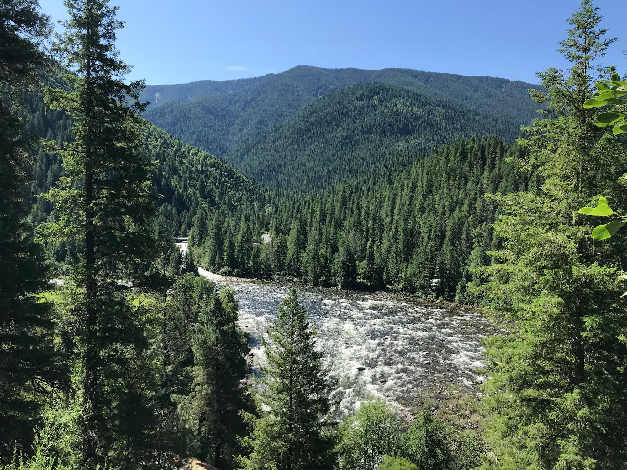

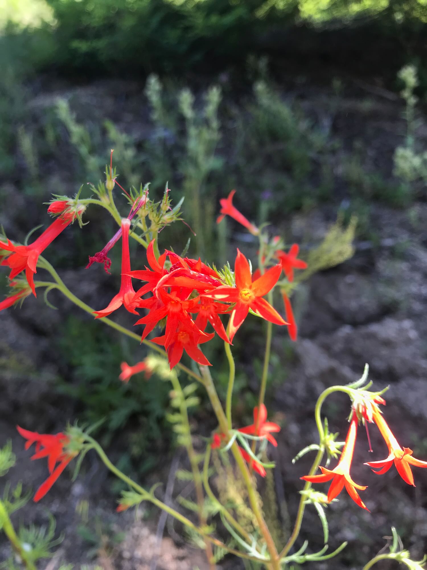


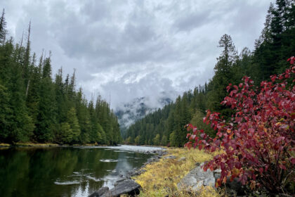
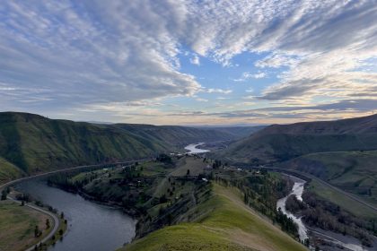
Mountainsides explode with new growth reflected in deep greens on the clear waters tumbling past my window as I drive up the Lochsa River, and I fall in love with this place all over again.
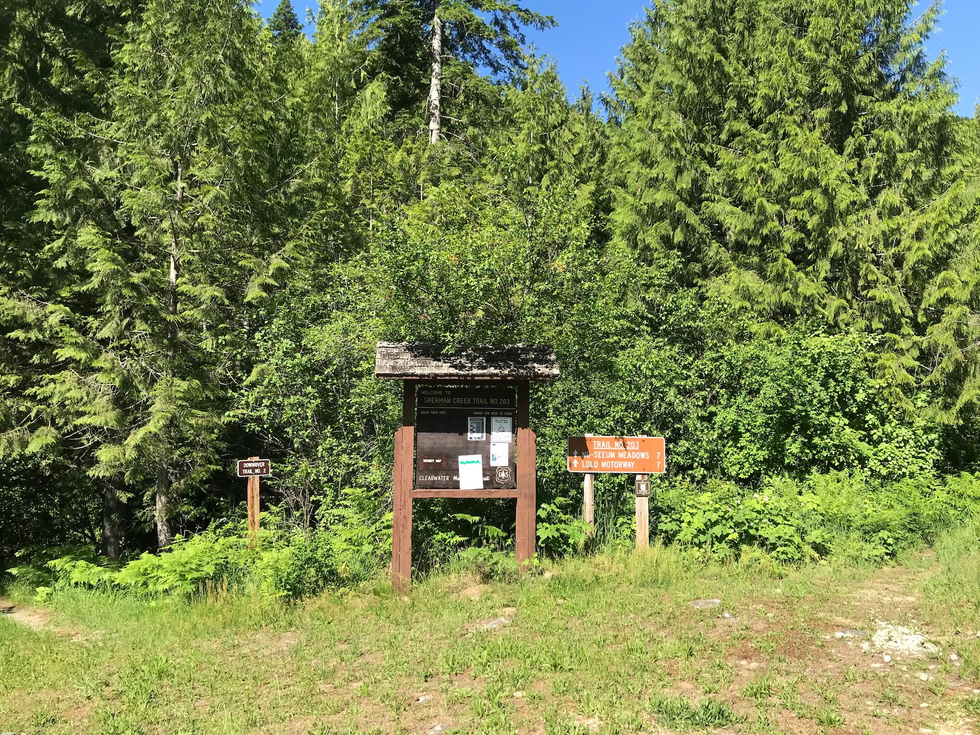
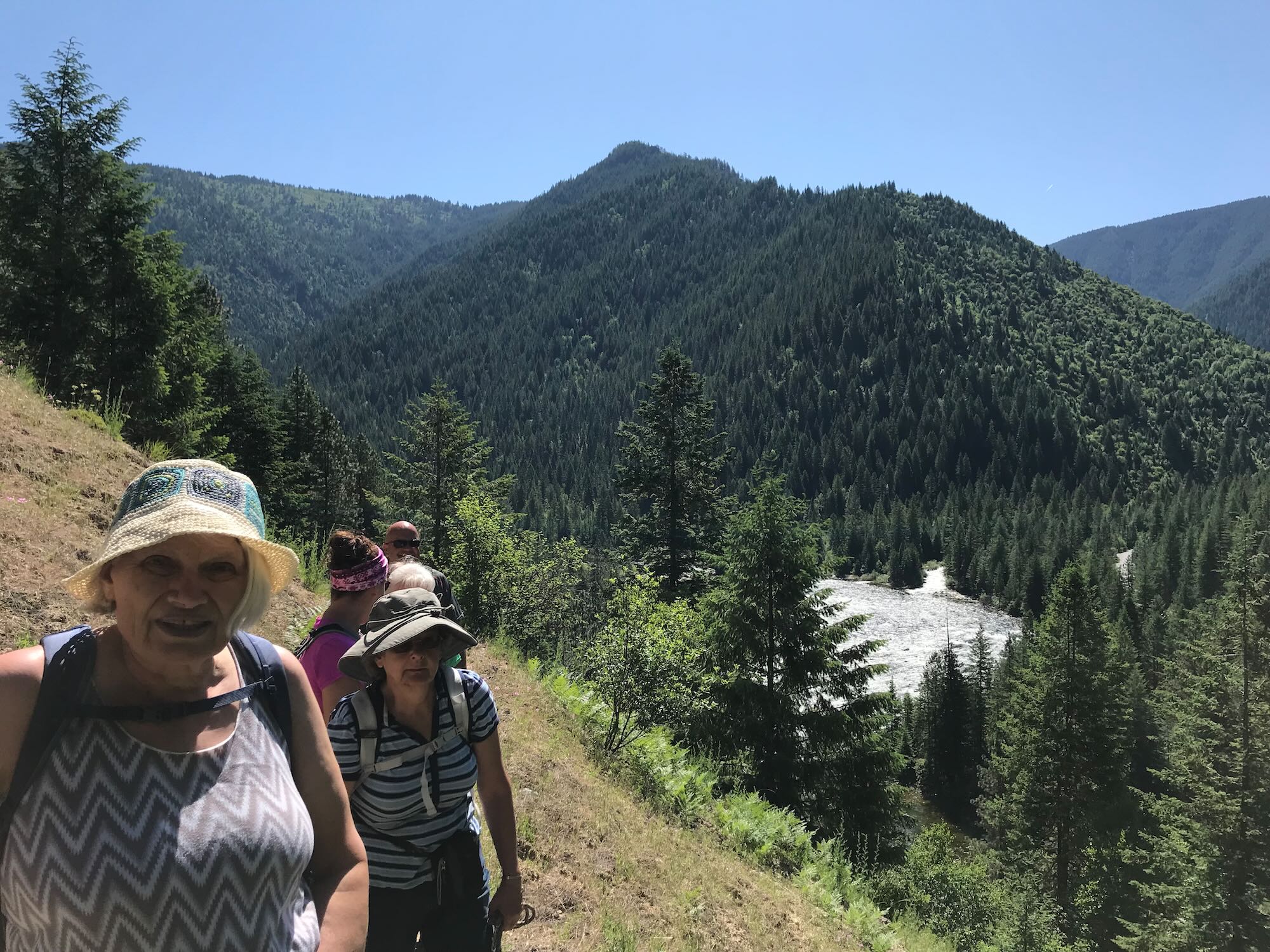
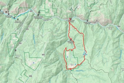
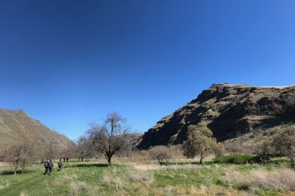
The Clearwater Trekkers are headed back to familiar territory near the Wilderness Gateway Campground. We’ve met up there before to hike into Stanley Hot Springs and even to hike the same trail we’re doing today, the Lochsa Downriver Trail #2. Last time we tried this trail, we ended up on Grouse Ridge Trail #201, climbing up and away from the river behind the old Ranger Station.
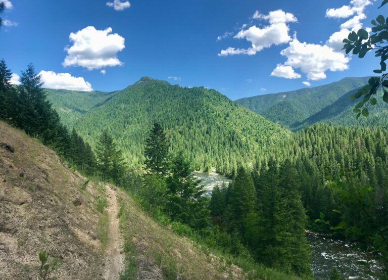
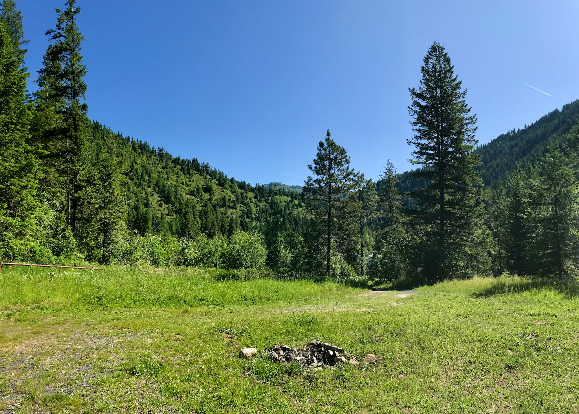
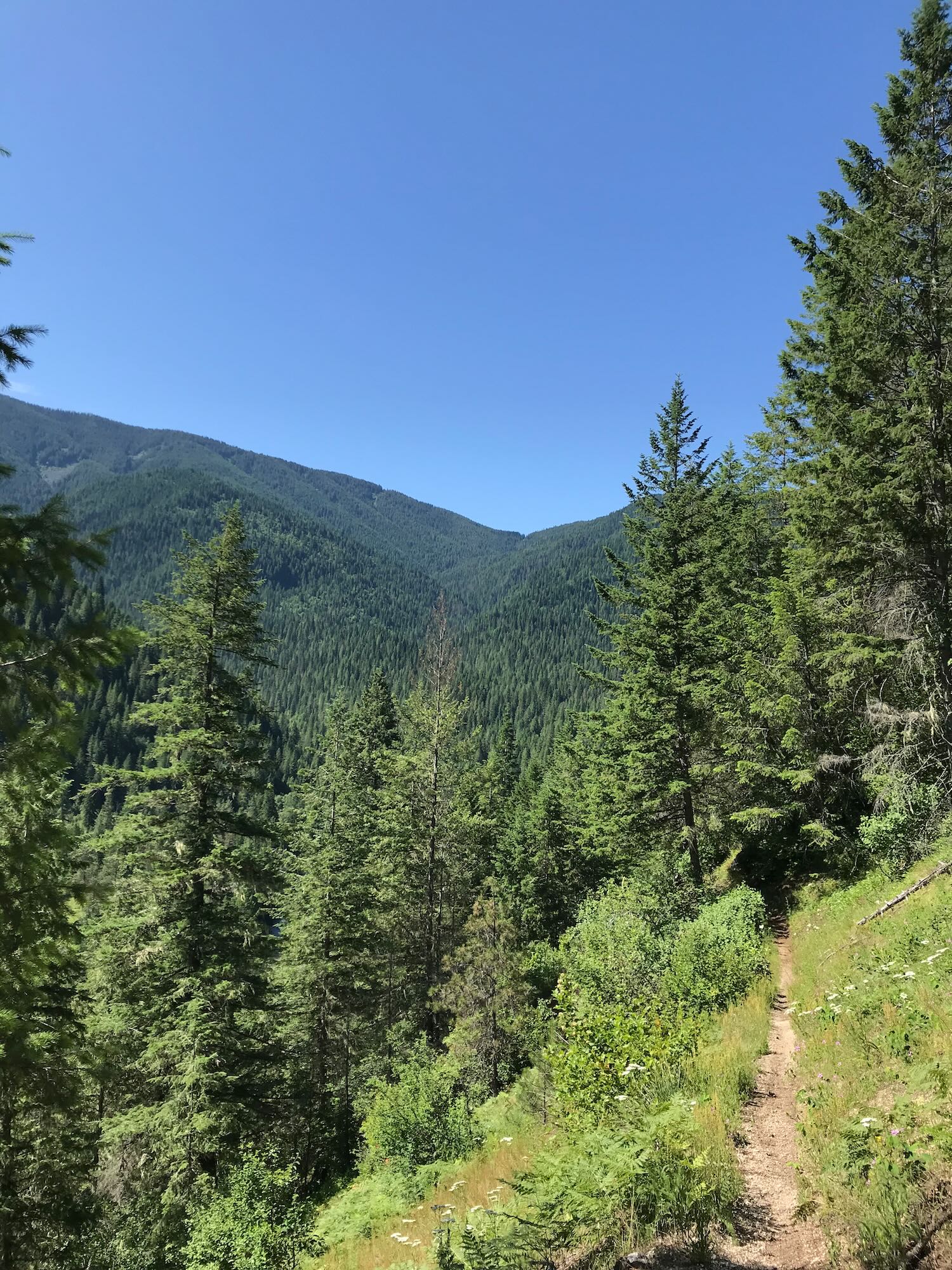
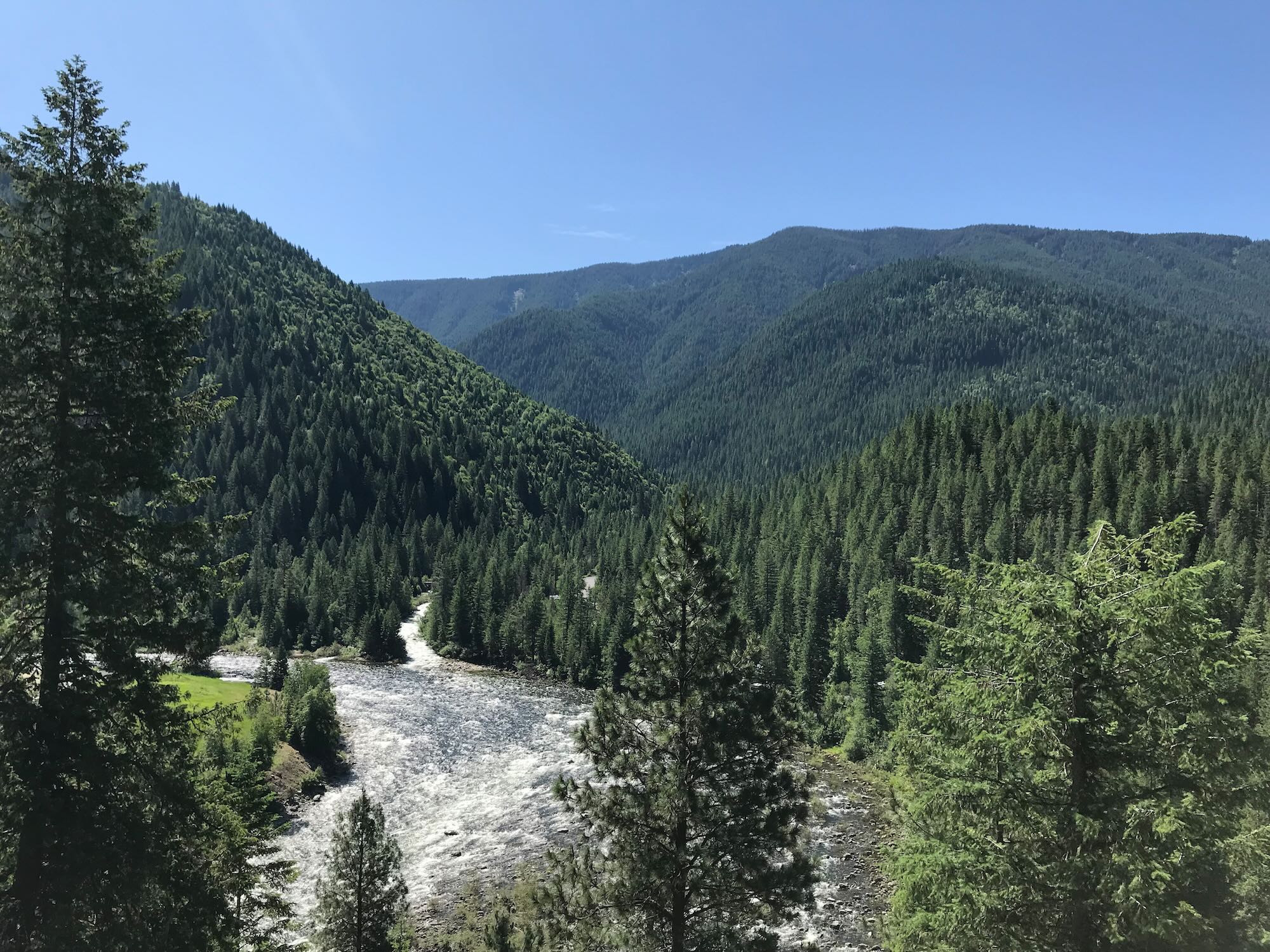
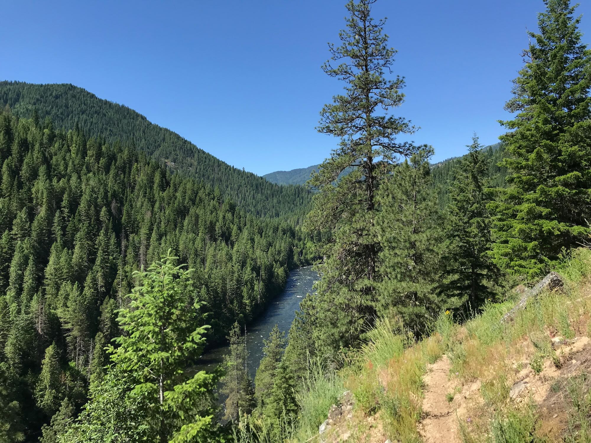
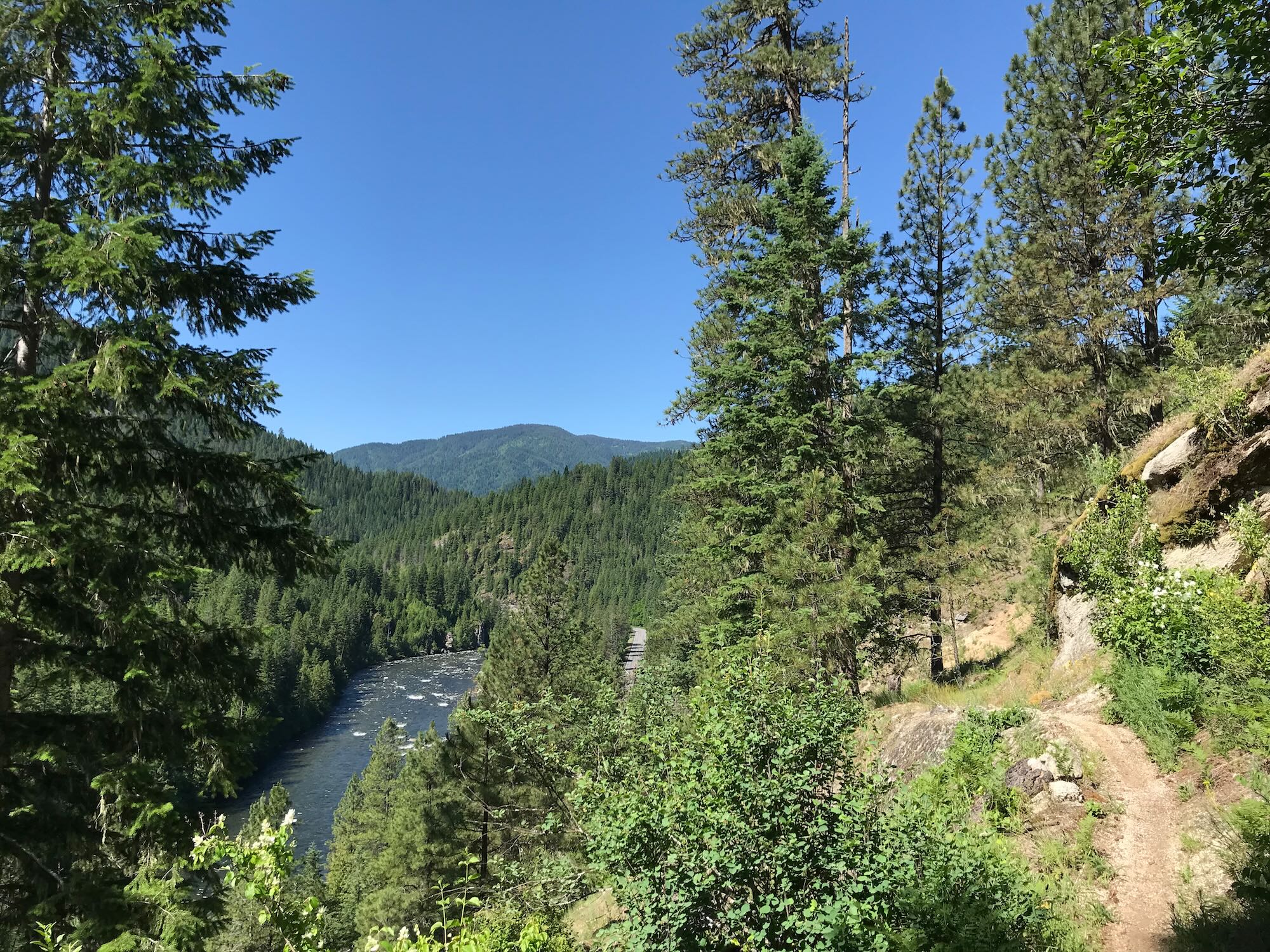
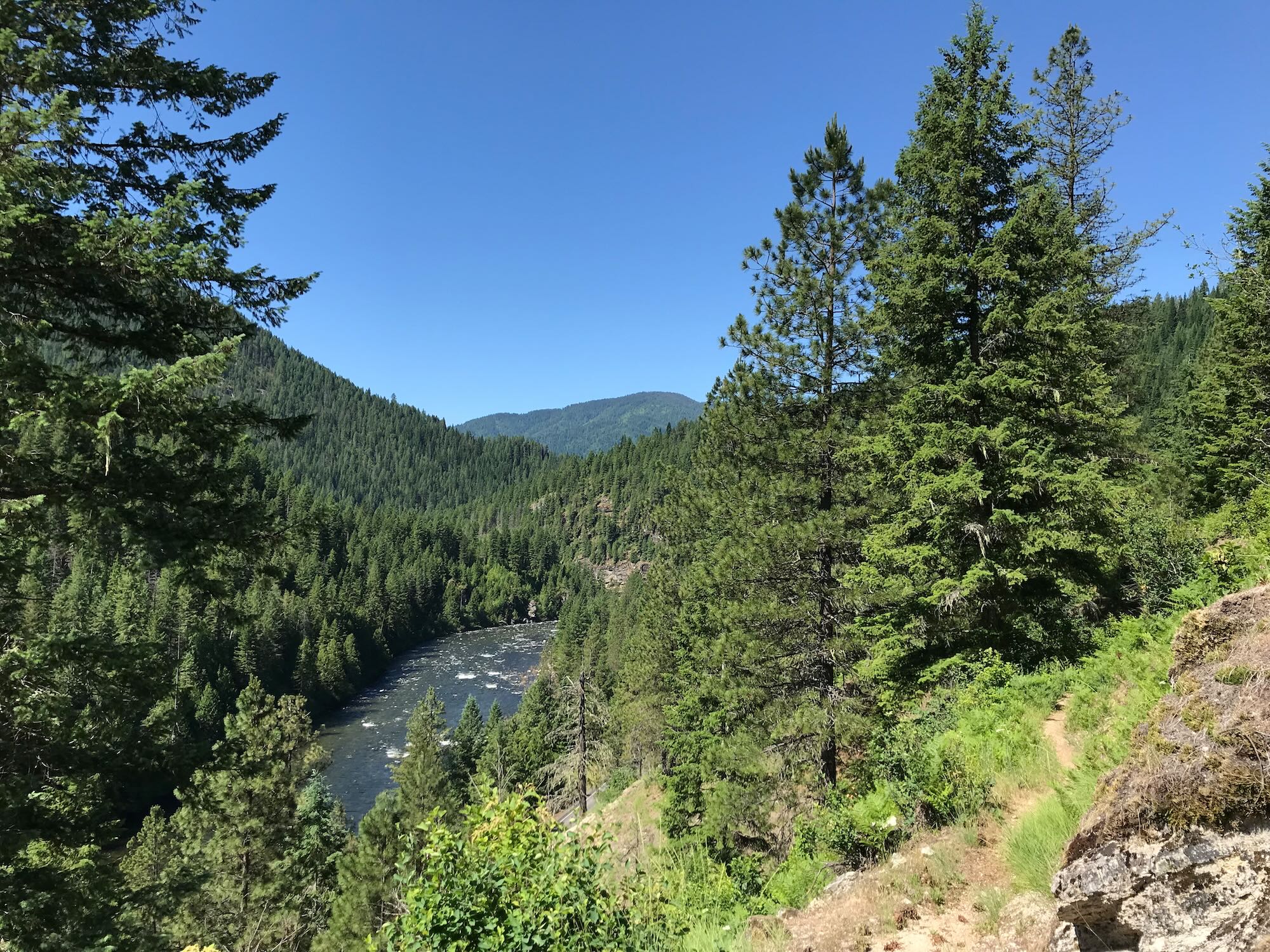
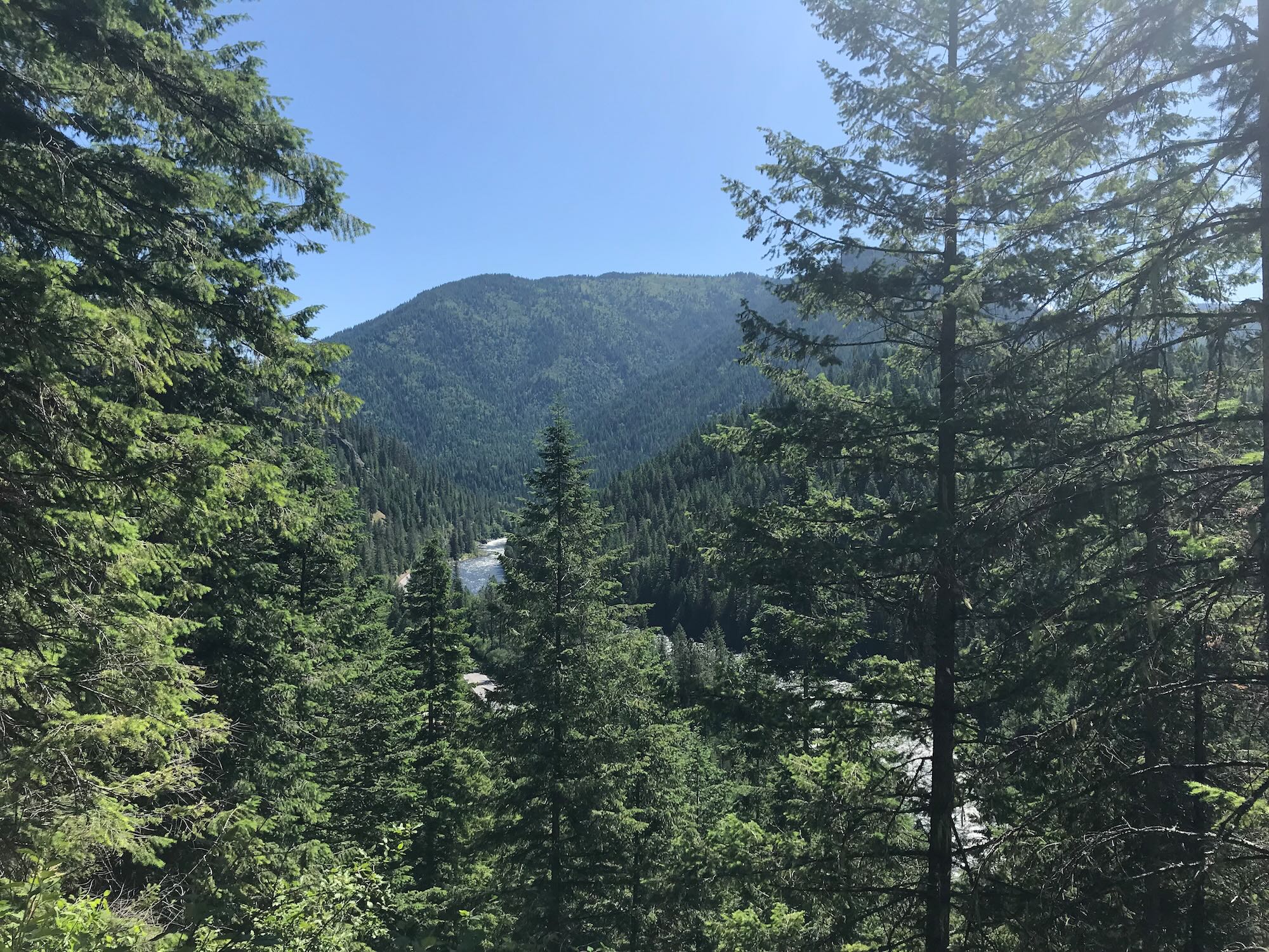
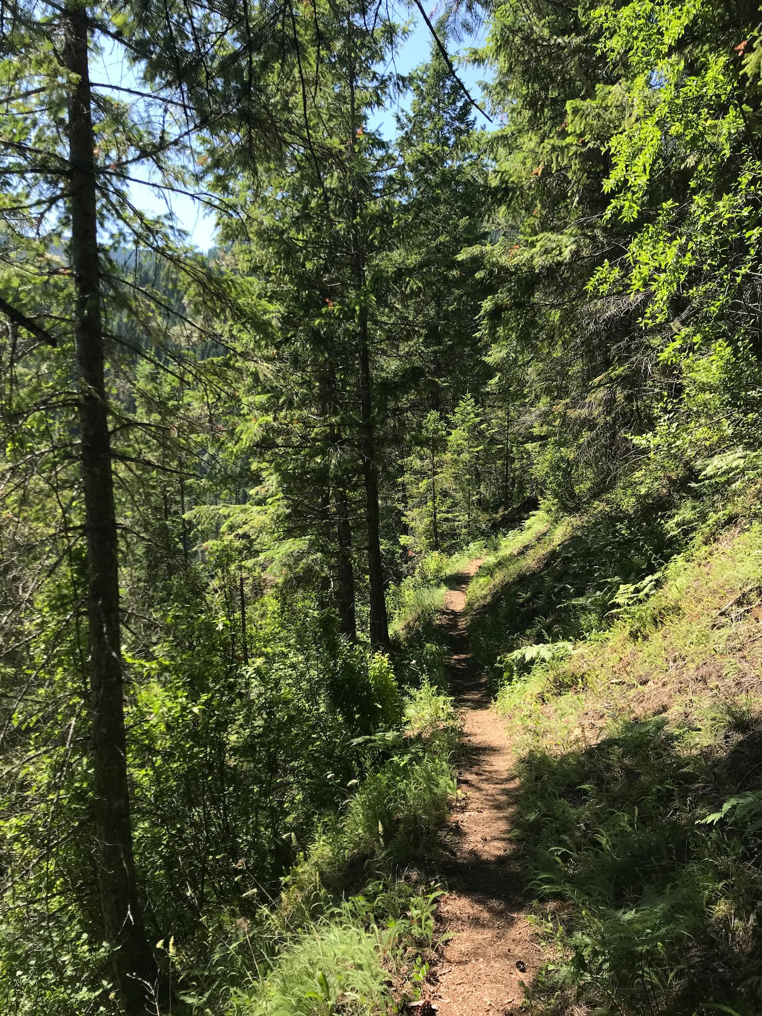
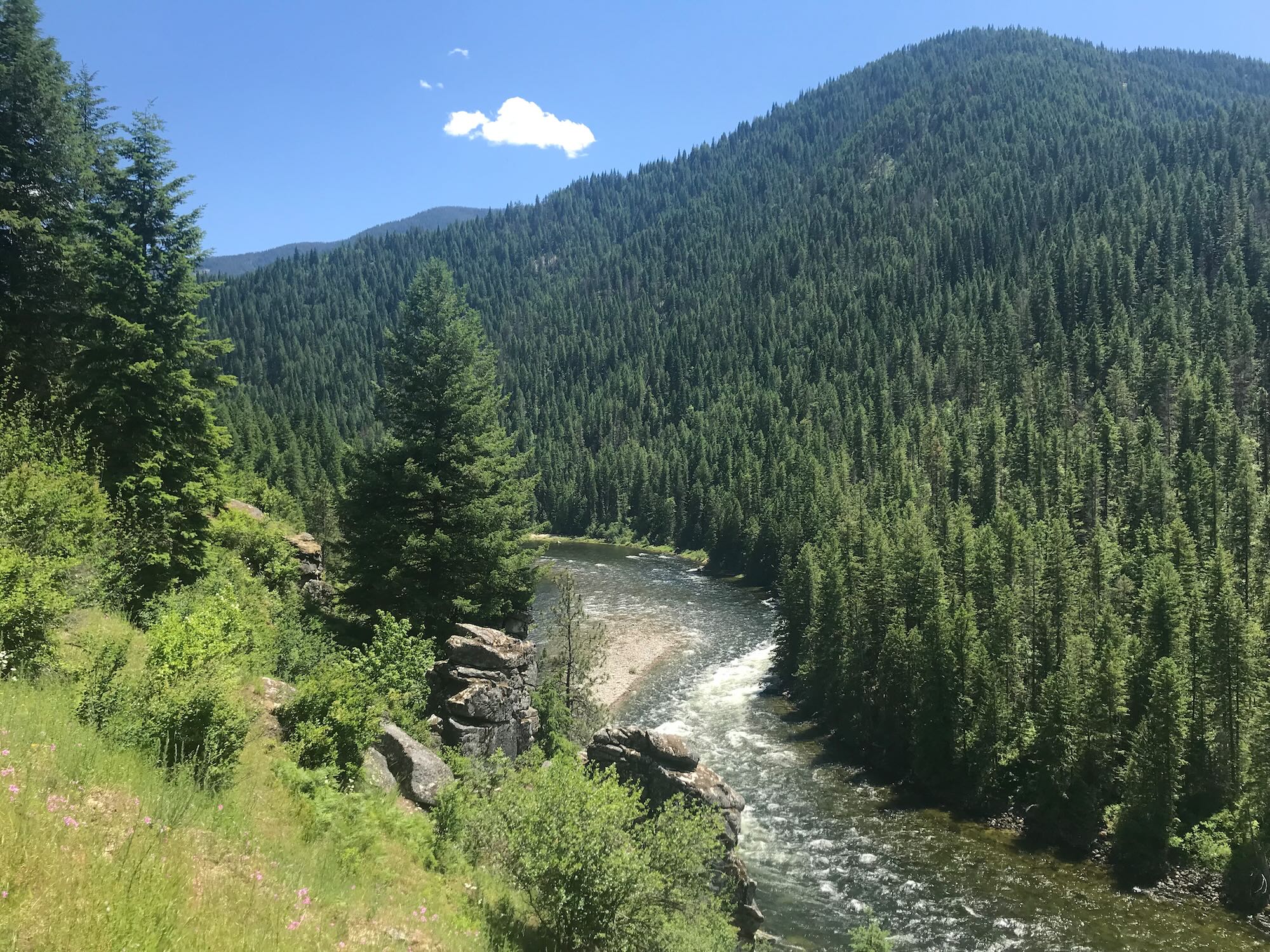
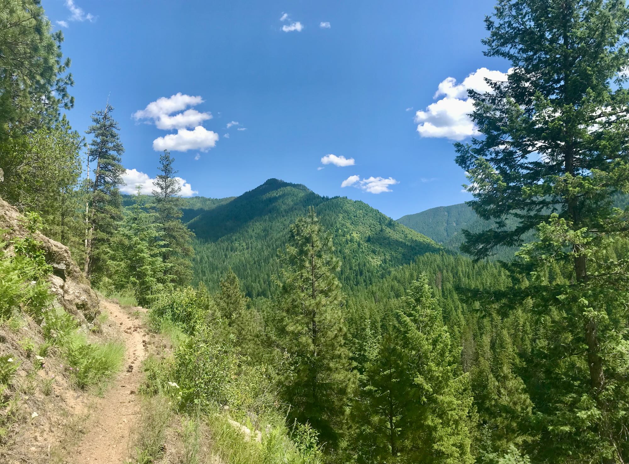
This time, we were looking forward to a mostly level hike along the hillside above the Lochsa River. We certainly weren’t going the full 17 miles today, but we were hoping to make it 3 or 4 miles in before turning back. While the Downriver Trail doesn’t climb any mountains, it does dip and rise 200 - 300 feet between creek beds, offering stunning views of the river and convenient access points from the highway. And giving me a reputation for exaggerating how level the trail was going to be!
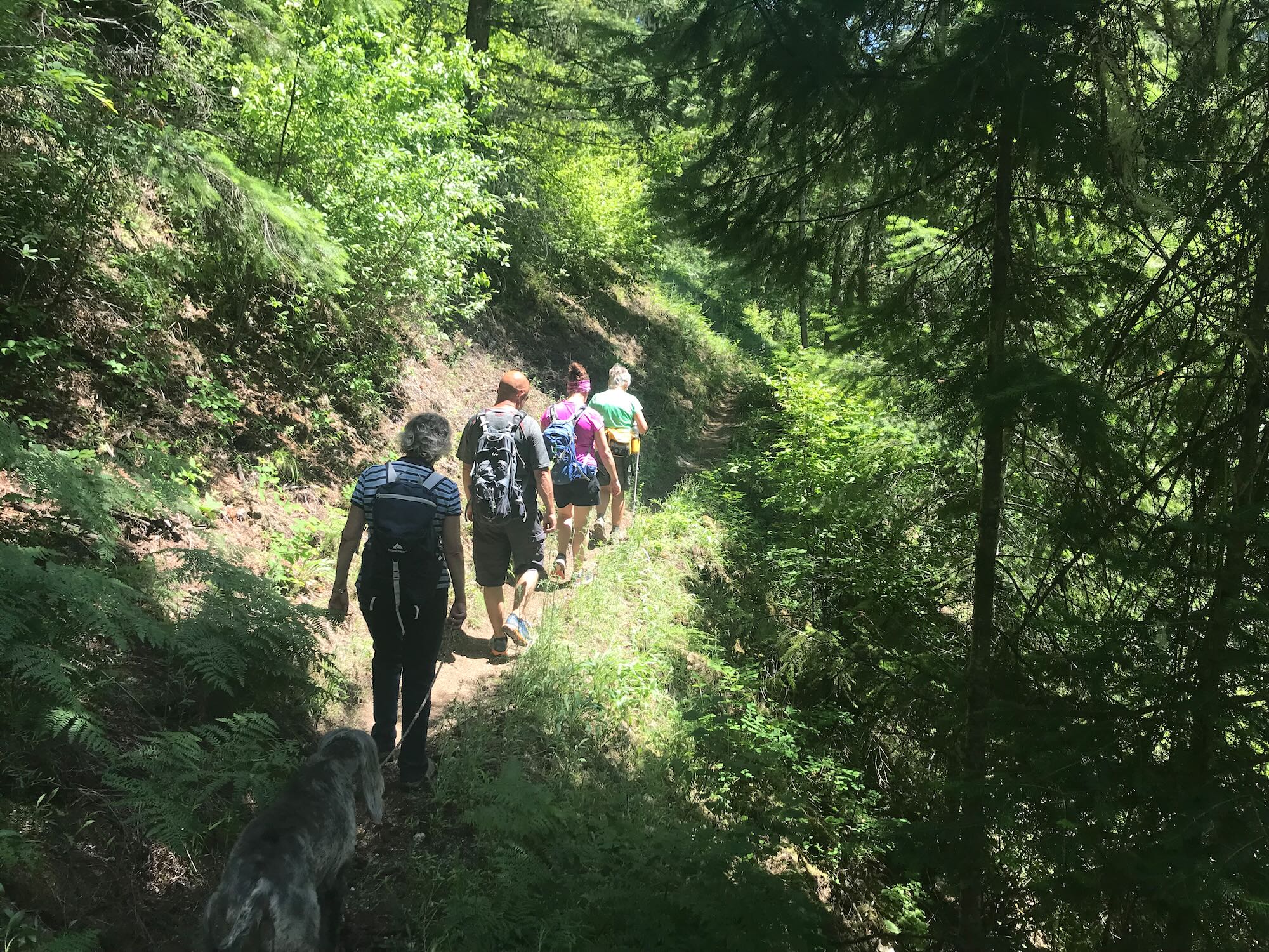
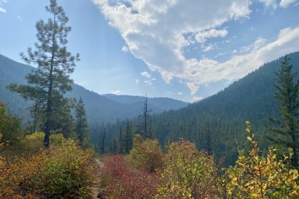
We strolled past the old Ranger Station on our way out, taking note of the small, metal plaque on a tree denoting trail #201. The forest was robed in a hundred shades of green, and the trees became a welcome respite from the rising heat of the day. Near the Fish Creek turnout, the trail actually dipped out of the trees and ran right alongside the highway for a short distance, but we ducked back into the branches soon enough and climbed back up on the hillside.
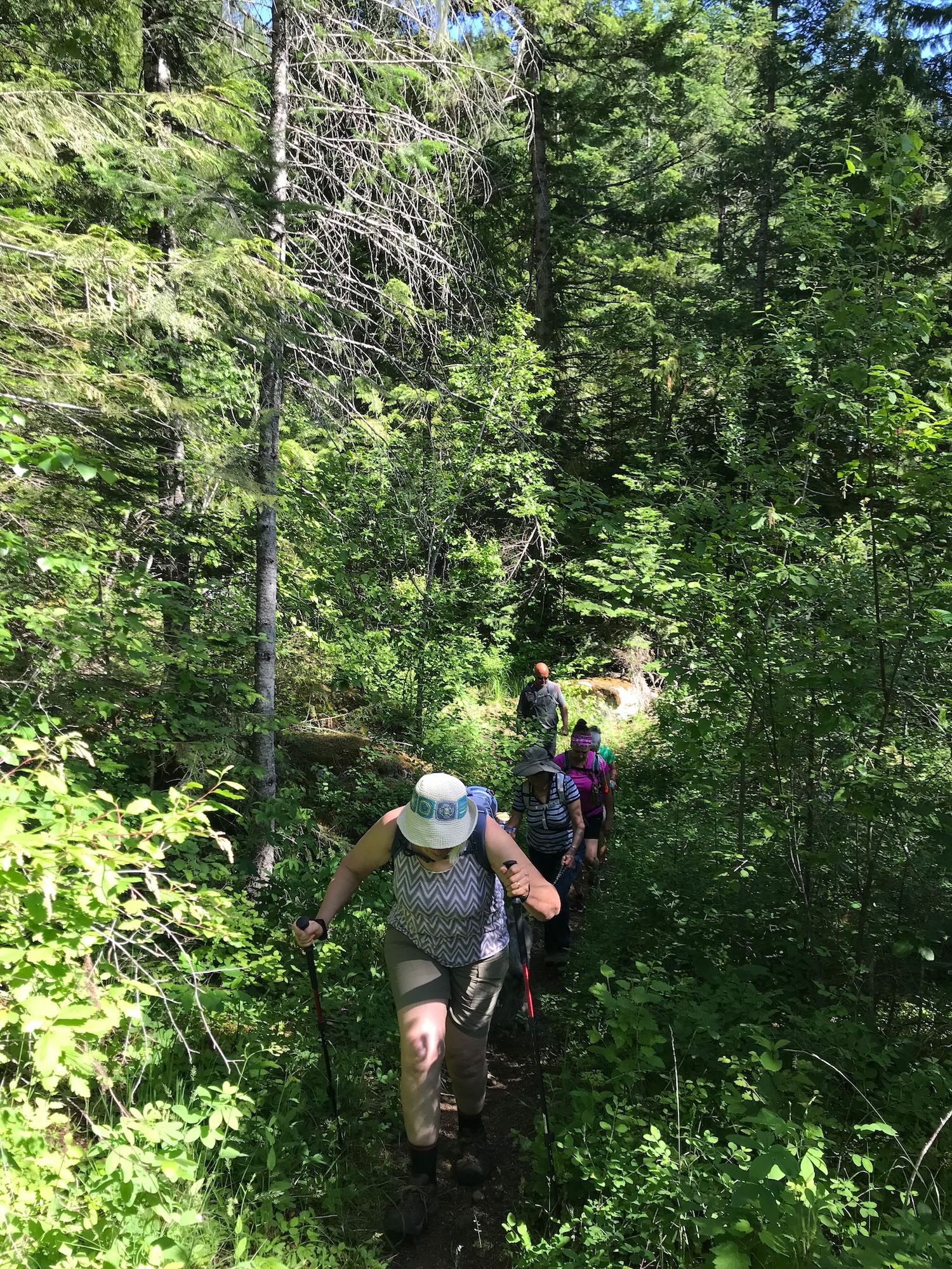
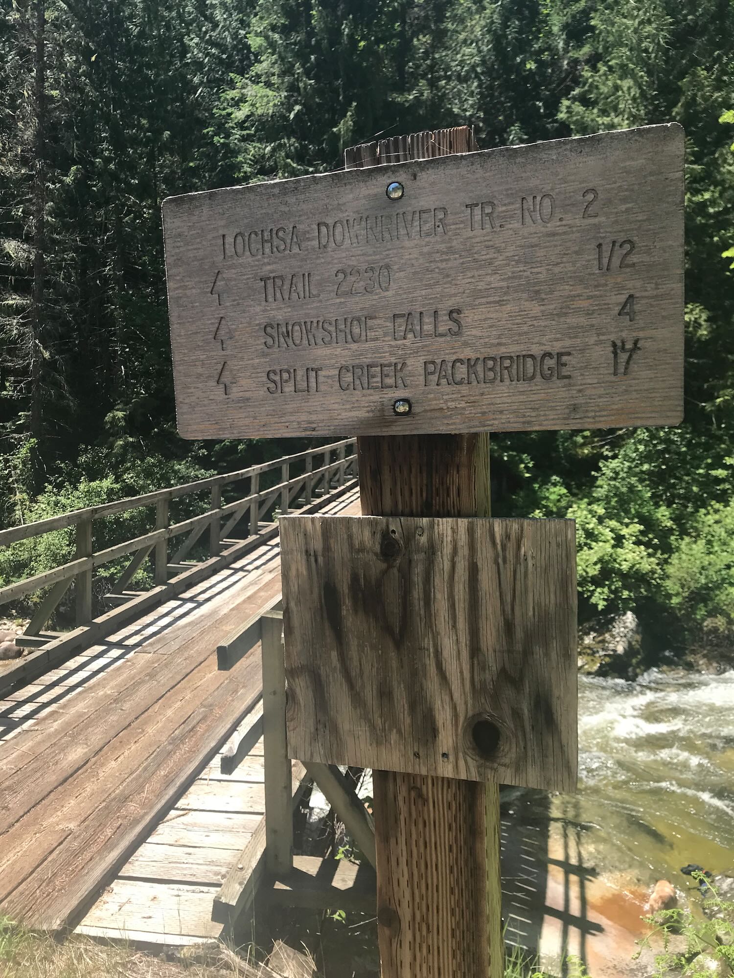
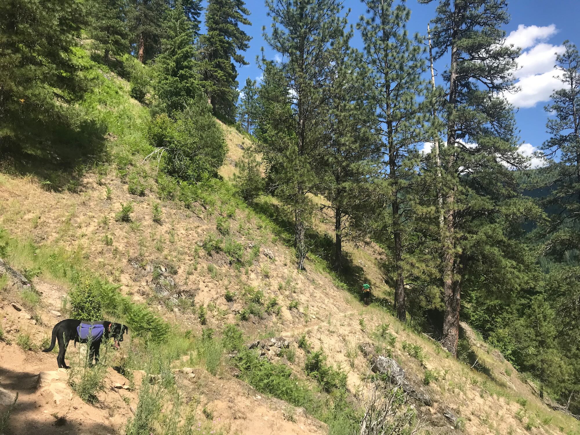
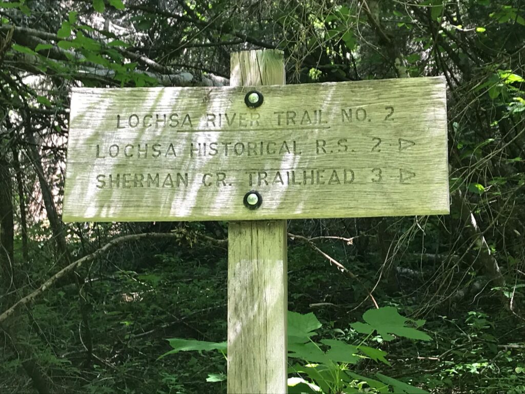 Another split at 3 miles in was inadequately marked by a trail sign that told us where we had been but nothing about where we were going. The Downriver Trail actually takes a sharp left turn here heading downhill, but I kept our group moving forward on what appeared to be the continuation of the trail we were on. Shortly, we found ourselves descending out of the trees onto a narrow, paved road running along a full creek.
“Anybody know where we are?” I asked, looking back at the puzzled expressions on my companions’ faces. “Who’s leading this hike, anyway?” I joked.
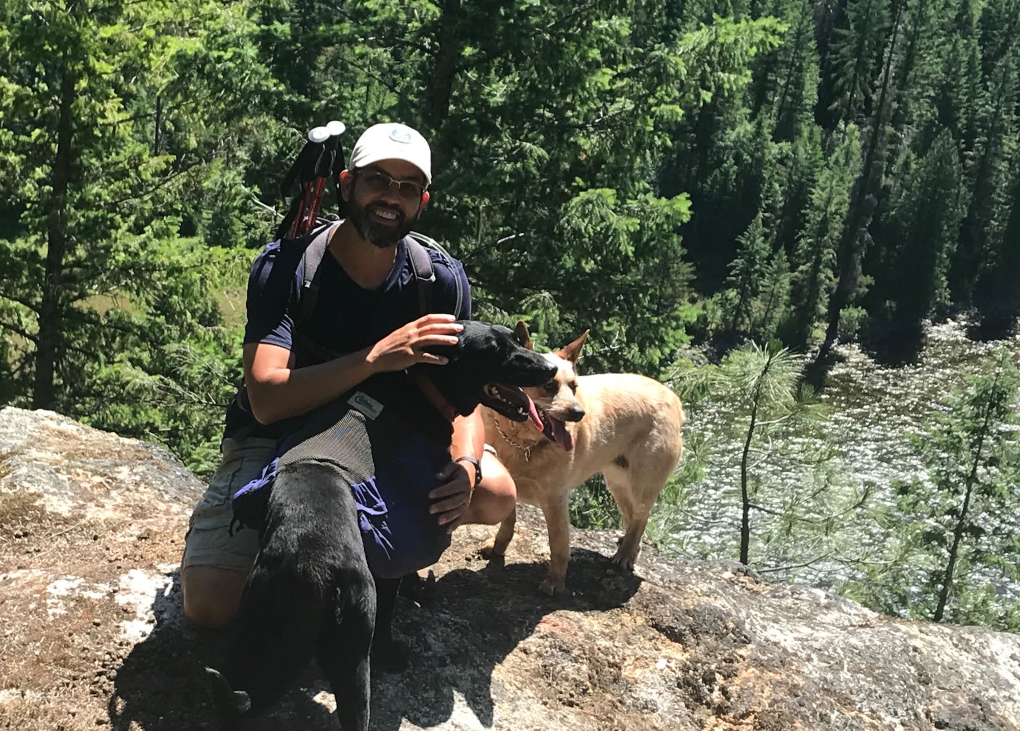
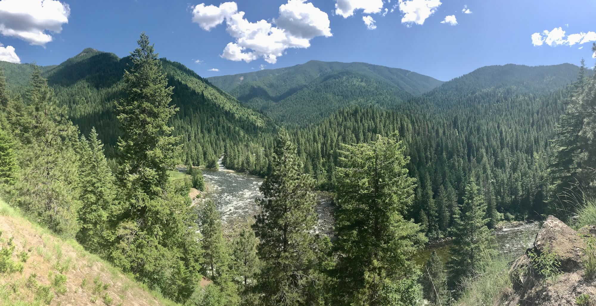
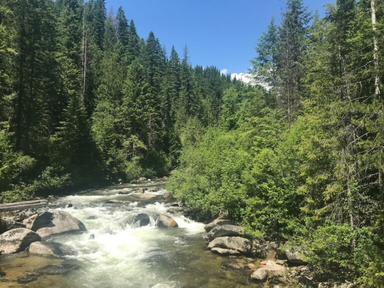
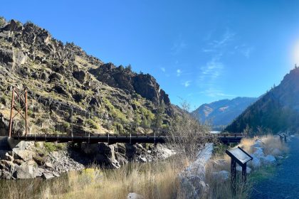
A quick look at the map told us were on a single-lane road running up Fish Creek to the Fish Creek Trailhead #224. We followed the road back towards the highway and found where the Downriver Trail crossed a bridge over Fish Creek and climbed up the opposite hillside. Sassy and Sheba decided to get a drink and cool their paws, but couldn’t get back up out of the river current on the slippery rocks. An impromptu rescue mission had me scrambling on the slick rocks to pull them up out of the water. Fortunately, we all made it back to the top safely. Of course, no sooner had we crossed the small bridge, than Sheba nearly rolled herself off a ledge trying to scratch her back in the tall grass!
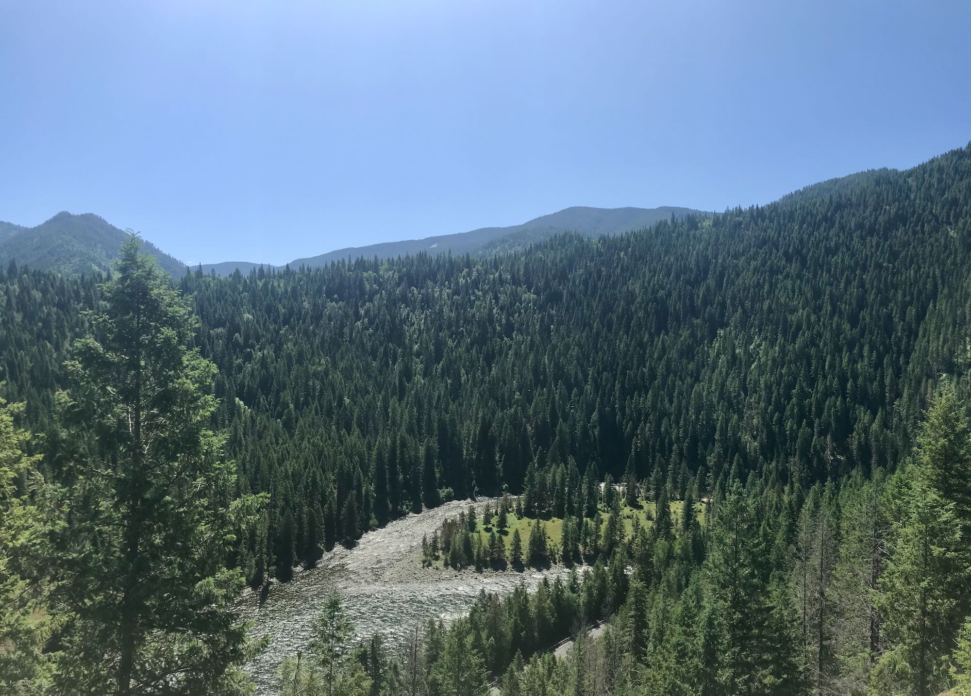
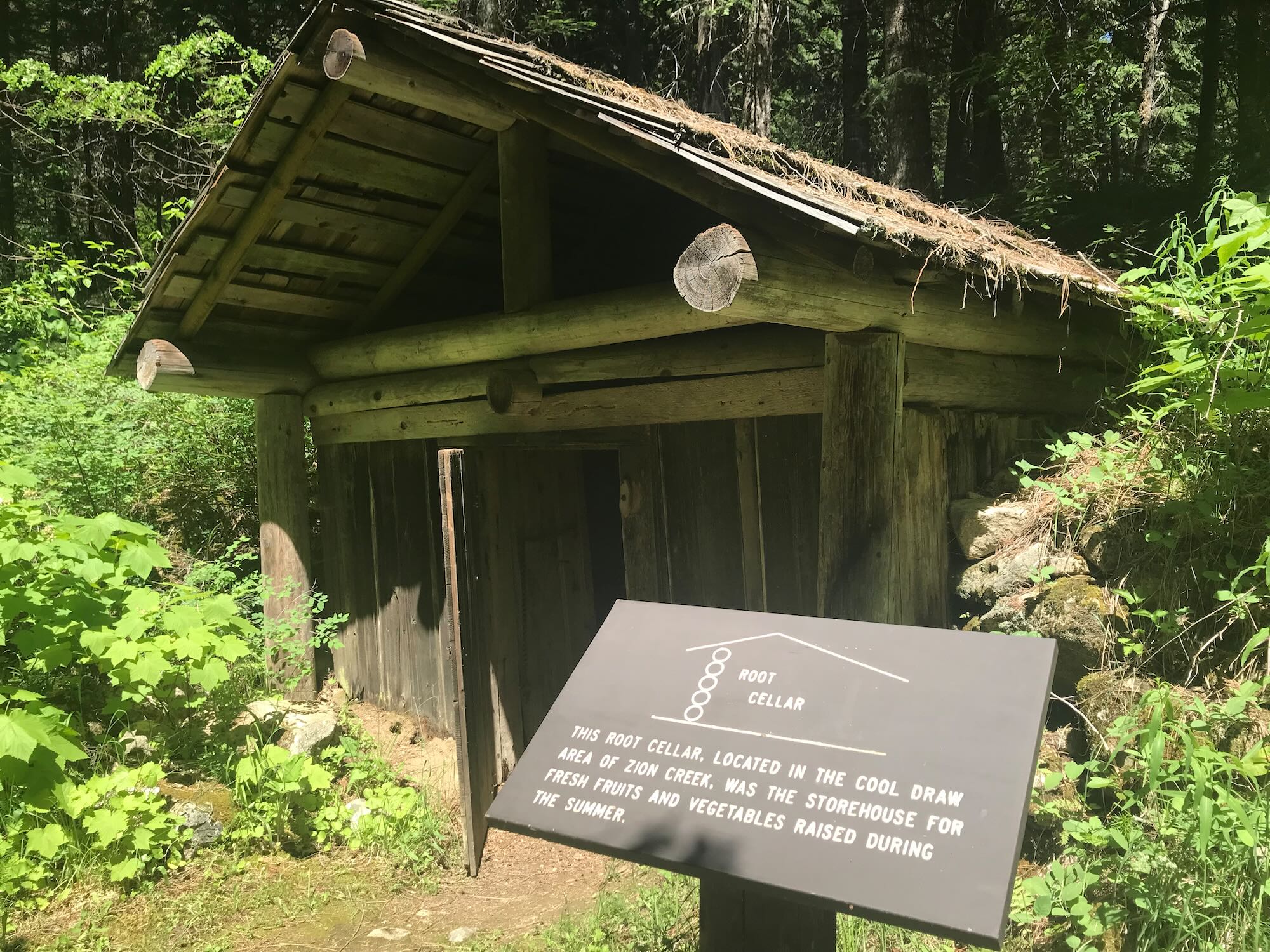
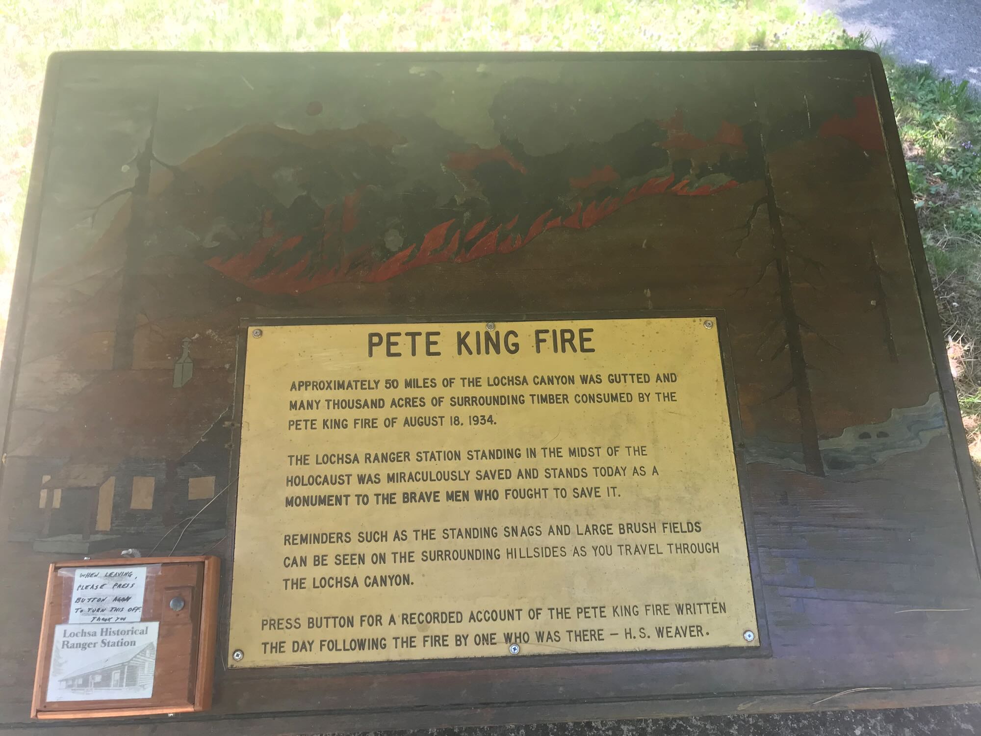
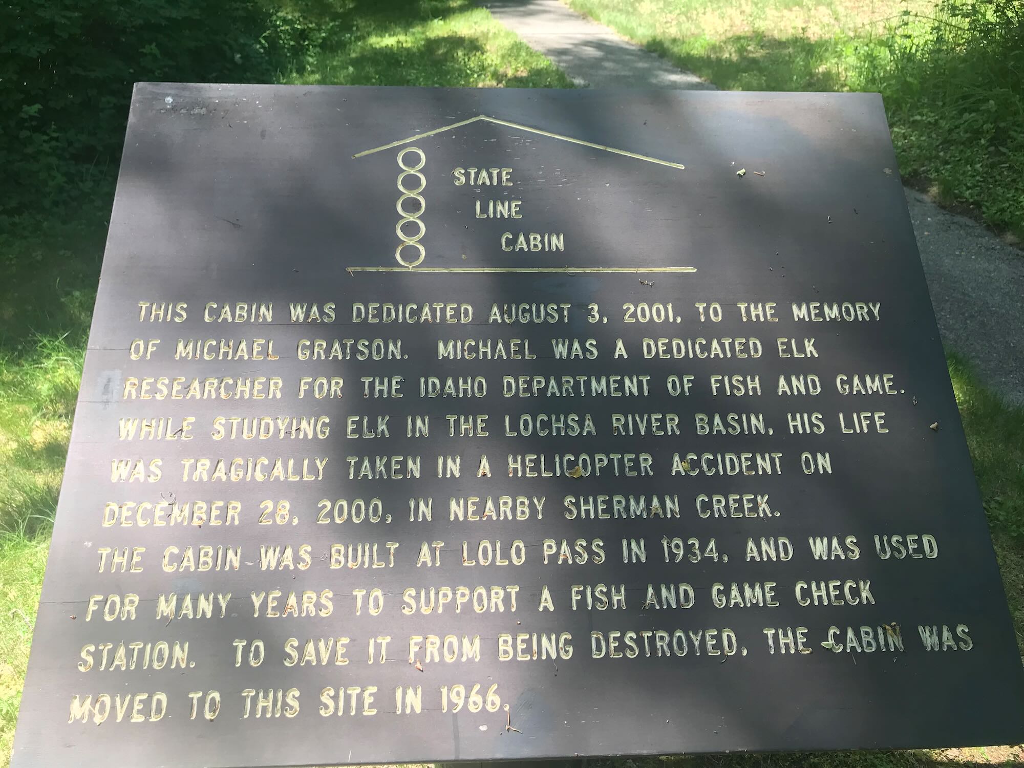
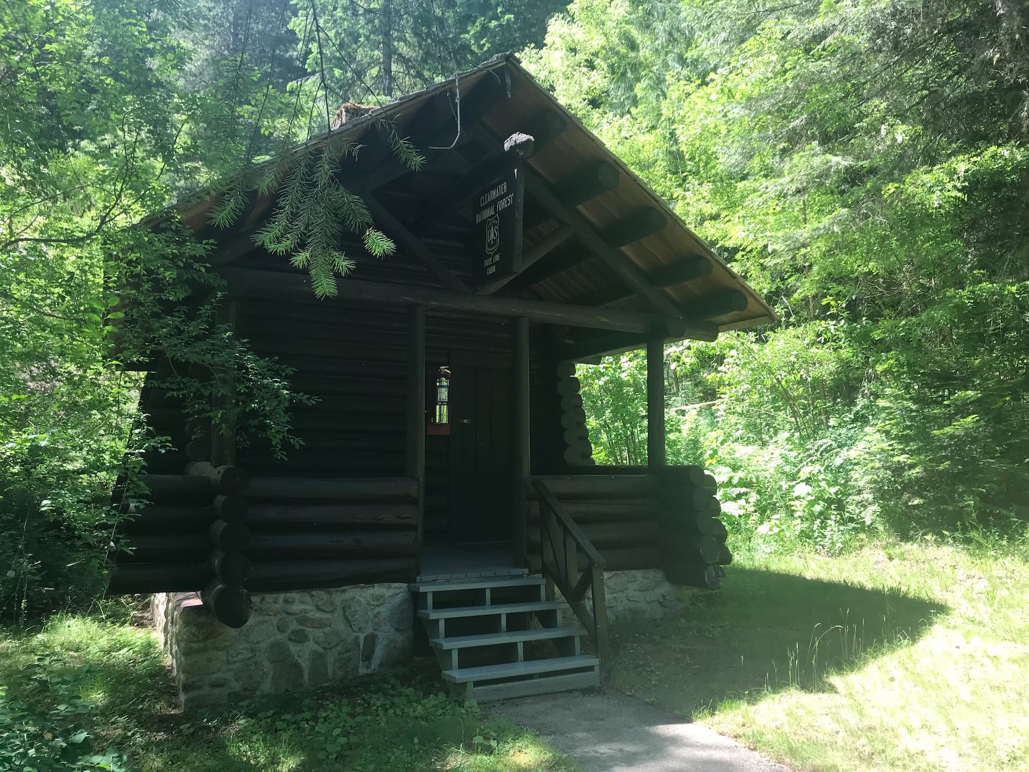
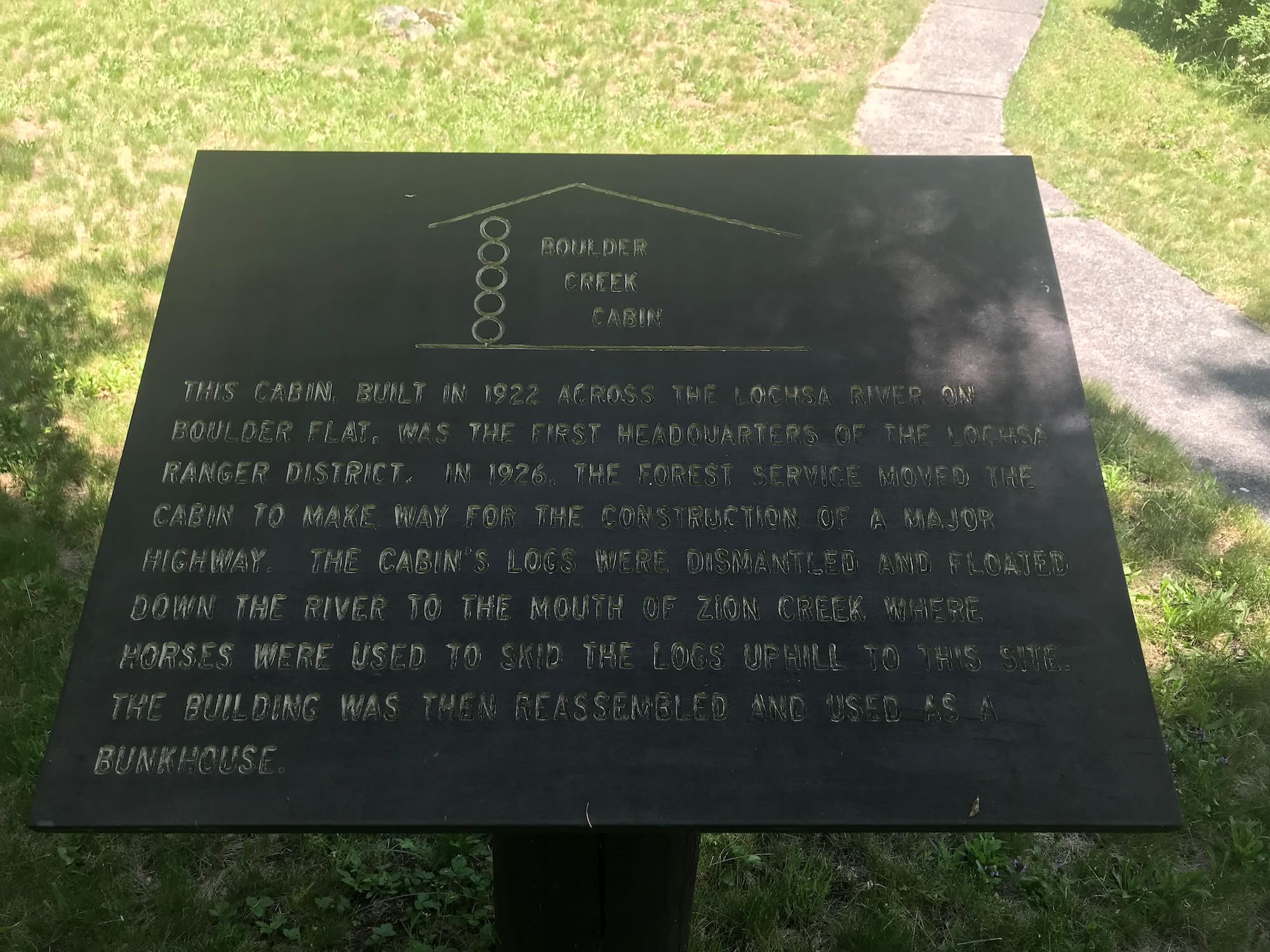
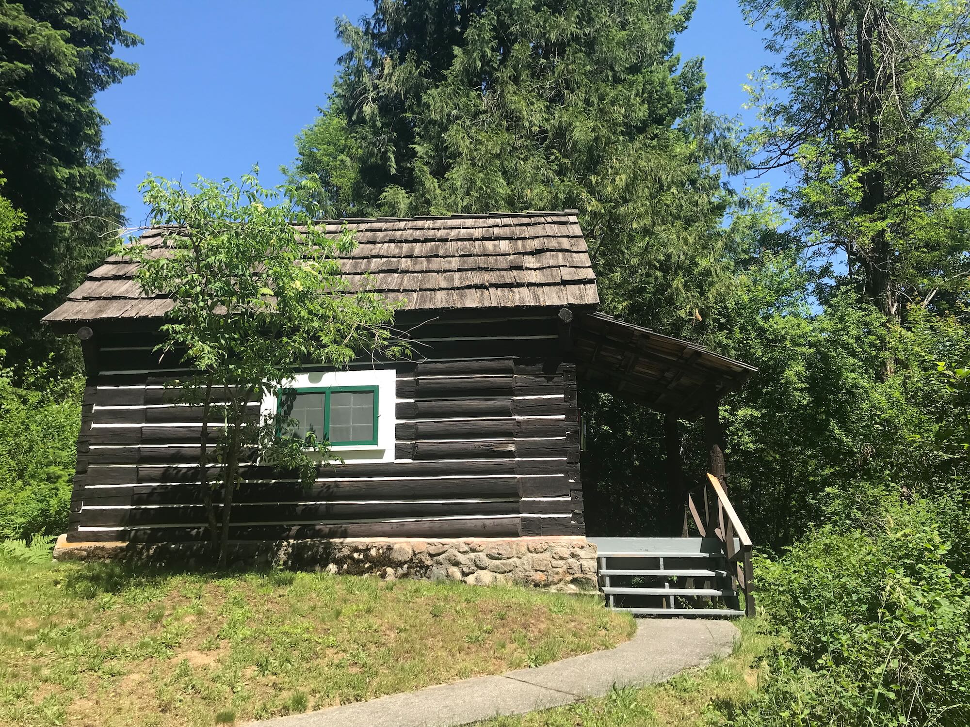
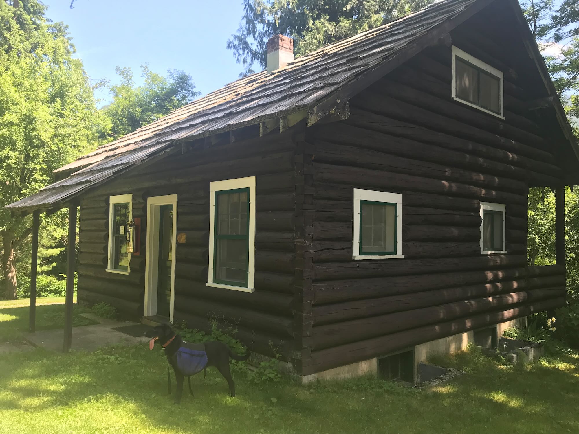
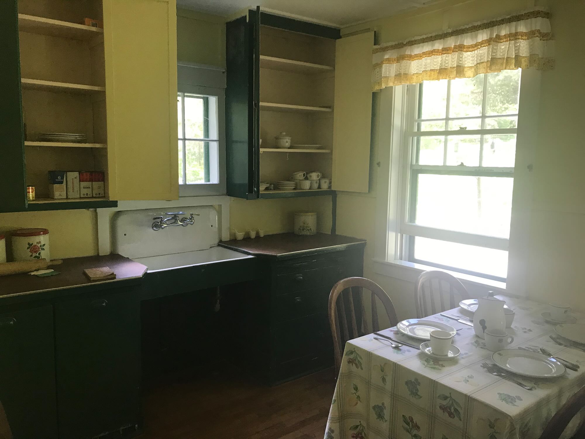
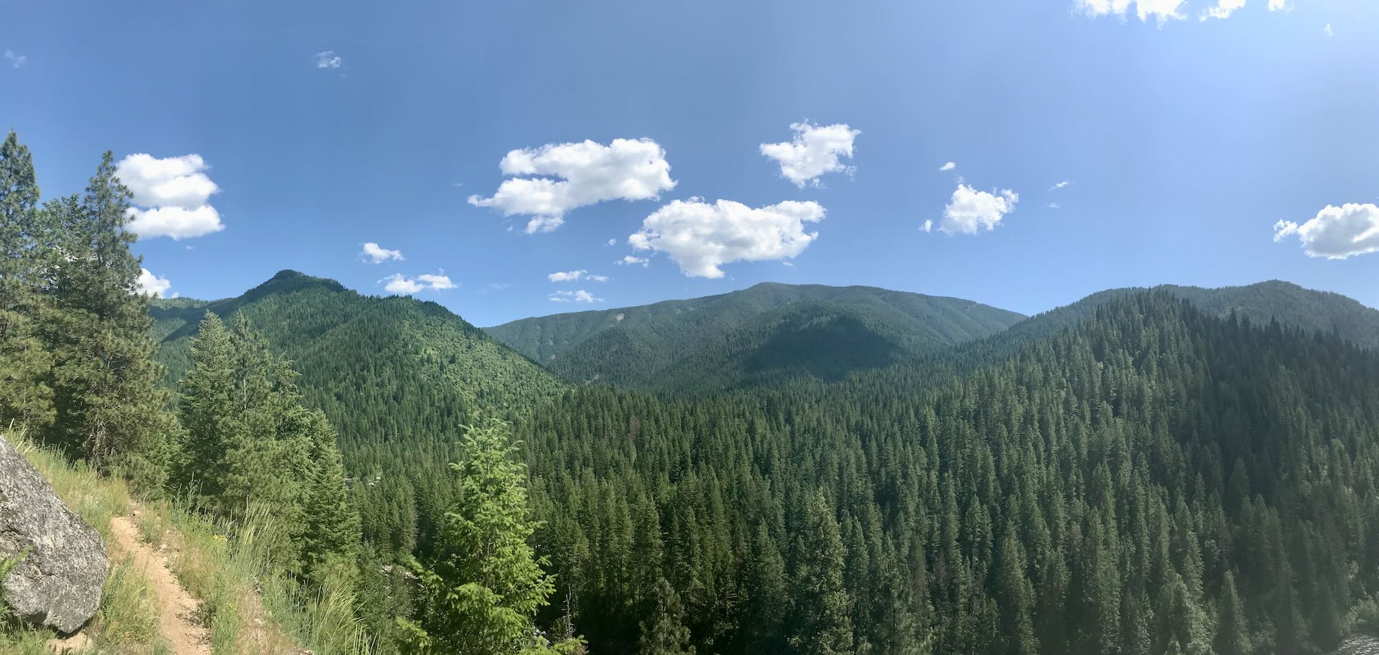
We made our way up the hillside and enjoyed lunch in a shady spot on the trail with a view of the Lochsa River below. On our way back, we stopped off to look around the old Ranger Station and talk a bit with the caretakers. Apparently, you can volunteer to caretake the grounds for a week at a time, and visitors can wander in and out of the various buildings reading informative plaques along the way. The Downriver trail runs right past the old cabins and kitchen in the back. We were soon on our way, stretched out along the trail and enjoying the sights from that morning in the light of the early afternoon.
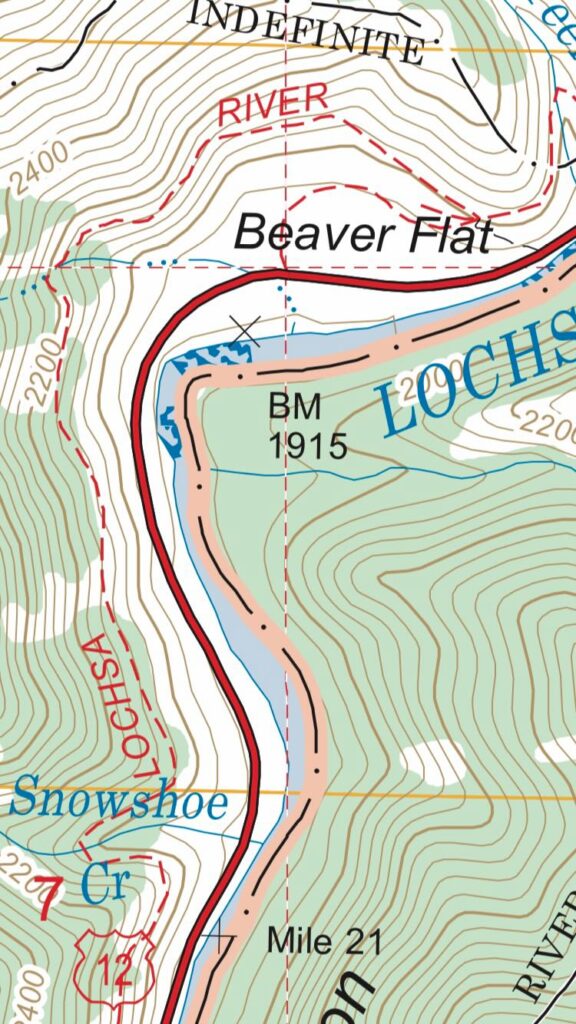
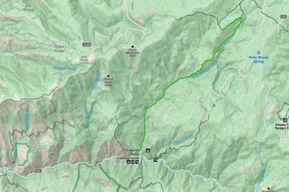
We took our time saying farewell at the trailhead and discussing ideas for our next hike in the area. We’d love to set off from Fish Creek and hike the 4 miles in to Snowshoe Falls. On my way out, I did a little reconnaissance around Fish Creek and Beaver Flat.
 First, I drove up to the Fish Creek trailhead where I ran into a fellow hiker just coming off the trail. She said there is a cabin about 4 miles up trail. The first 3 miles are fair going, but the last mile is a bit of a bushwhack to get through.
Farther on, near mile marker 118, I came upon a family at Beaver Flat trying to get in to Snowshoe Falls. A small, unmarked turnoff from the highway takes you to the Beaver Flat trail #2-B. There’s plenty of space to park, and the trail connects to the Downriver Trail about three-quarters of a mile east of Snowshoe Falls. This is a great spot to park and hike in with the kids.
Those elusive falls! We will be back to see them one day. Exploring the area was fun, though, and reminded me of why we started The Clearwater Trekkers in the first place - to discover these trails all over the Nez Perce-Clearwater National Forest. There’s so much to see and explore out here! Thanks for being part of the adventure. Until next time…Happy Trails!

[…] Once upon a time (in June of 2019), The Clearwater Trekkers stumbled out of the woods and onto Fish Creek Road trying to find where the Downriver Trail crossed Fish Creek. We managed it, and after successfully returning to our vehicles, I drove back to see what was at the end of Fish Creek Road. I was not disappointed when I found a new trailhead and chanced upon a hiker just coming off trail. She told me that it was a fun hike and that there was a cabin about 4 miles in worth visiting. […]
[…] trails because Highway 12 gives such fantastic access to this wild area. Our forays along the Lochsa River National Recreation Trail and out to Stanley Hot Springs got me looking for more adventures to be had out of the Wilderness […]