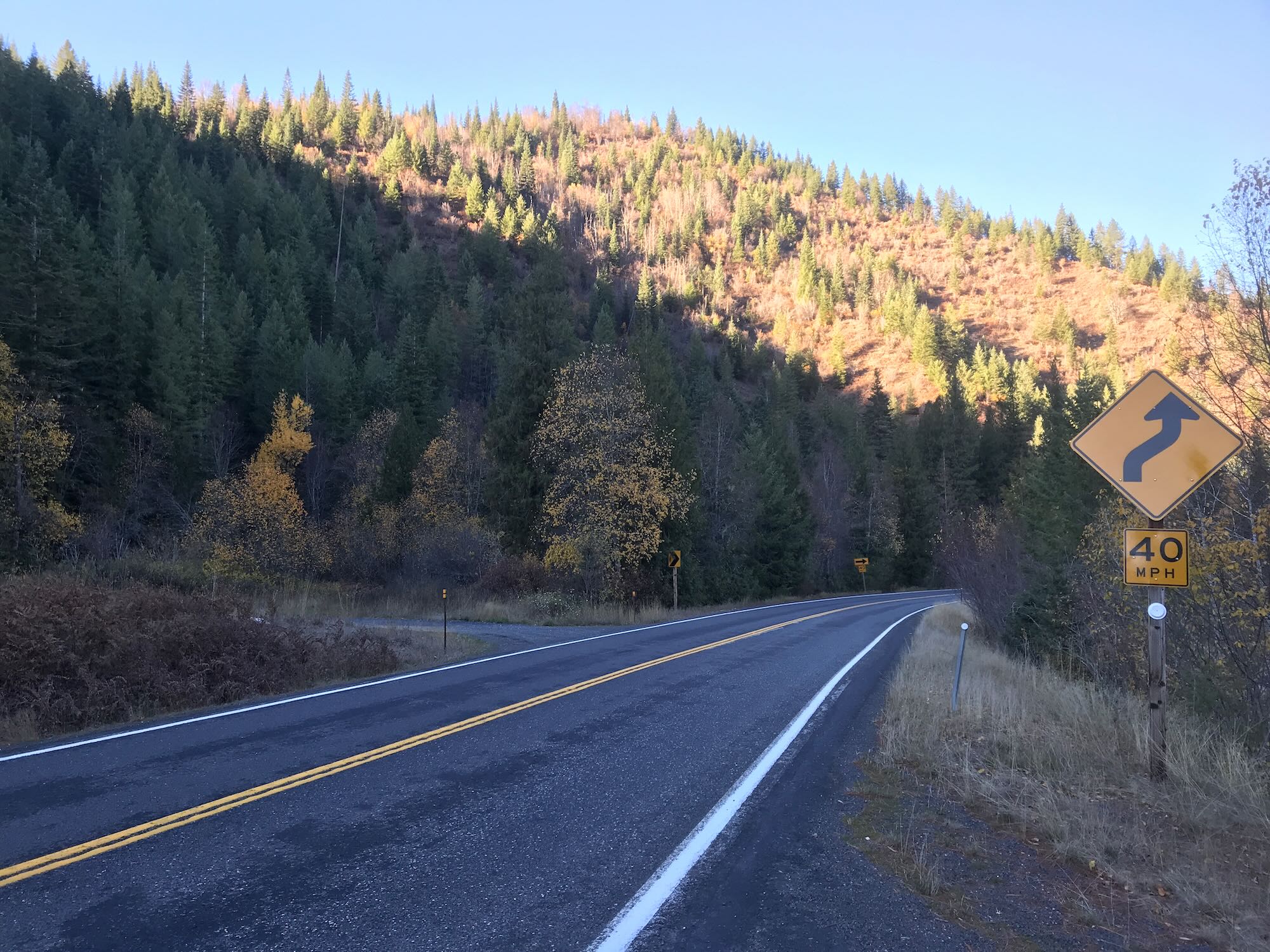
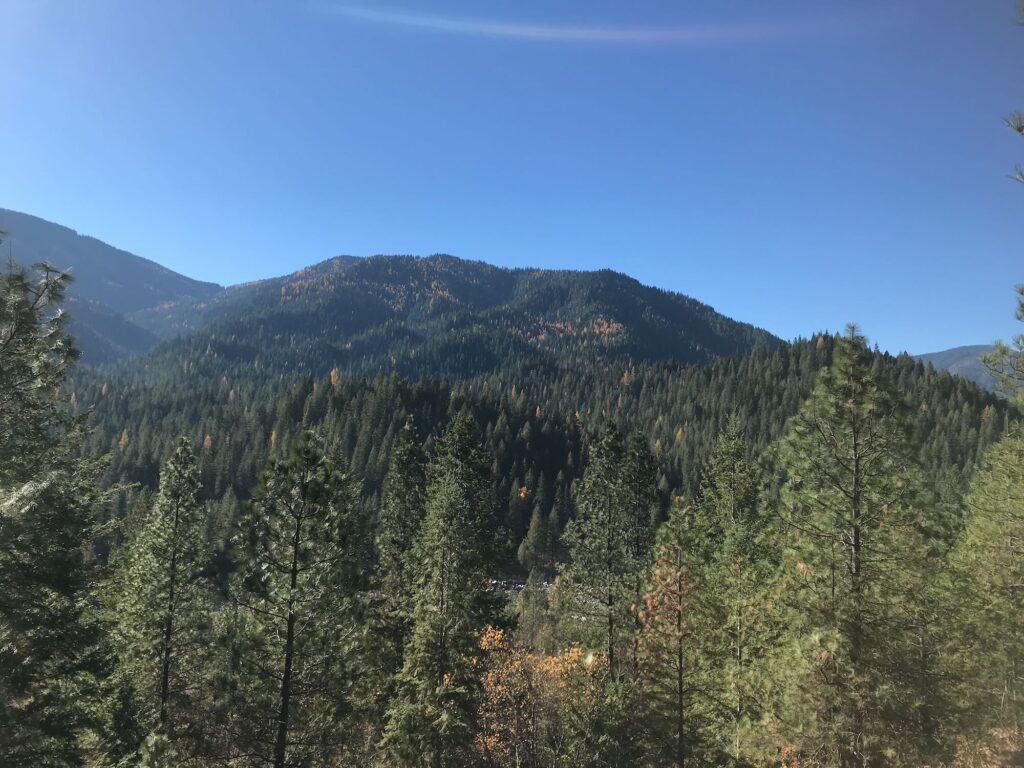
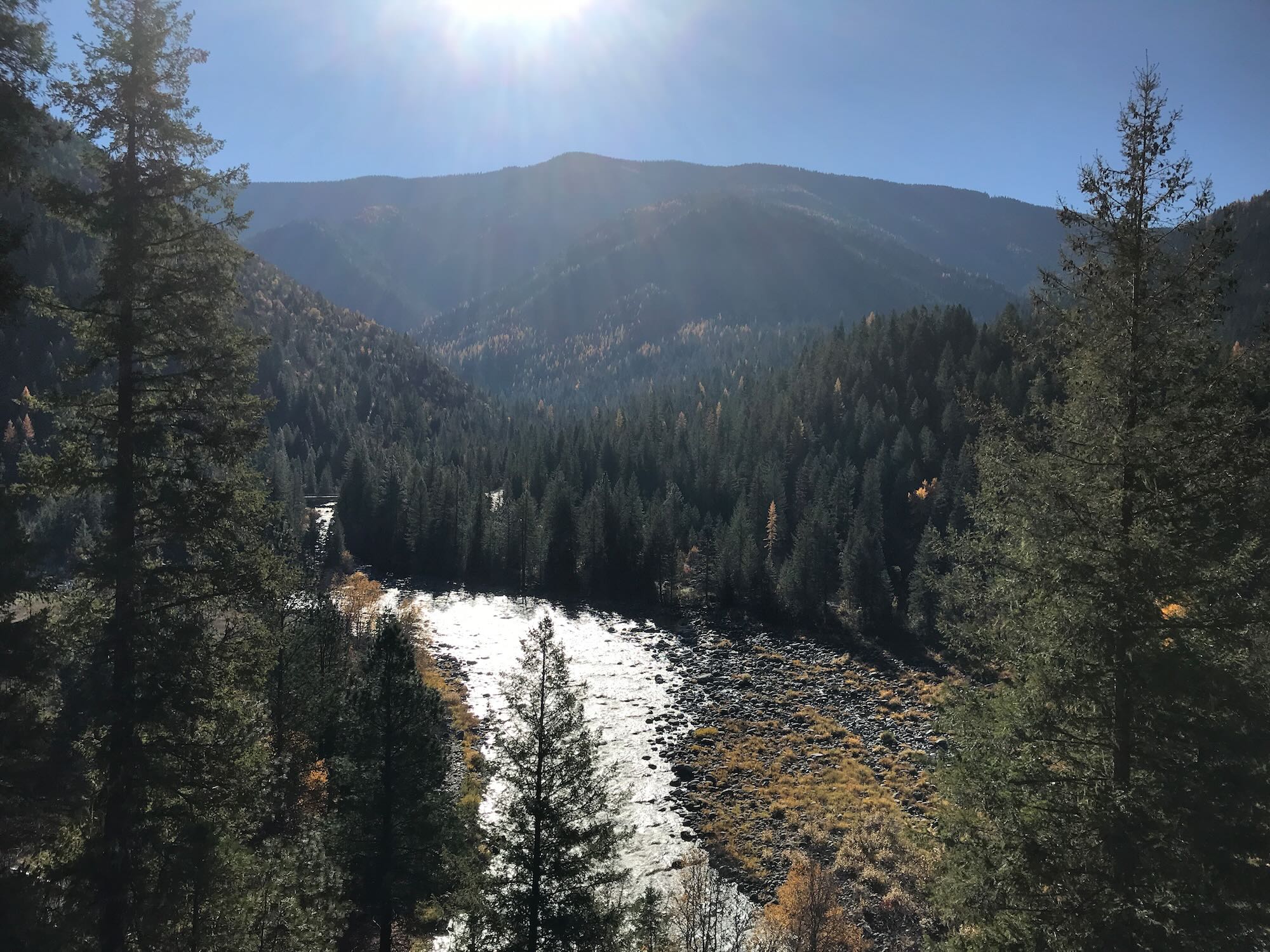
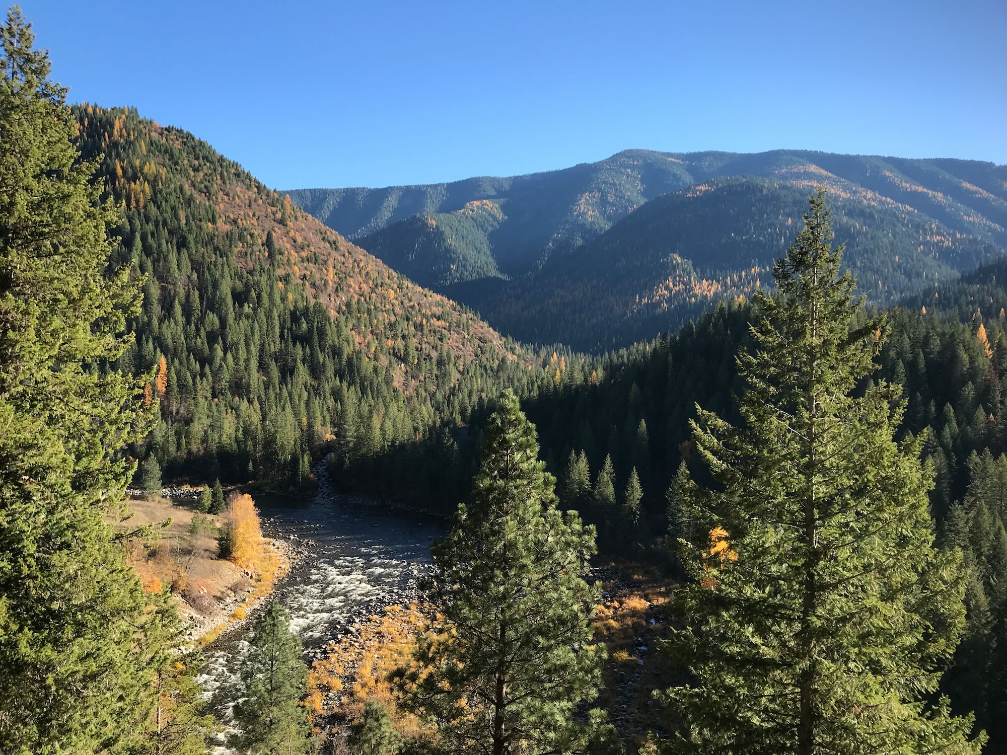
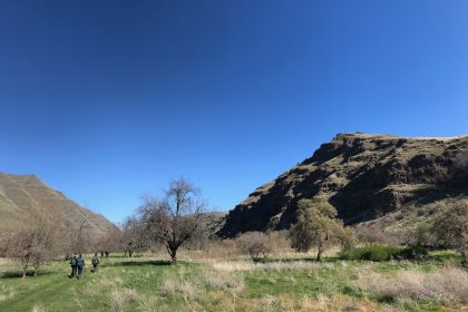
I tapped Daniel, my foreign exchange student, on the elbow and pointed through the windshield as we crested the hill at Red Rock Road, heading east on Highway 162. This just might be my favorite view on the Prairie. For just a moment, before you drop down towards Winona and 7 Mile Road, it feels like the whole Bitterroot Wilderness looms up behind Kooskia and stretches into forever. At this moment, you are actually looking straight up the Lochsa River to where it is joined by the Selway at the base of Coolwater Mountain. Behind that rise the peaks of Fenn Mountain.
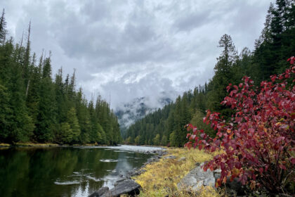
Thick fog sat low and heavy on the rivers, curling between the mountains. From up here in the dazzling sunlight and clear skies, that fog looked cold. We headed down 7 Mile Road and through Kamiah on our way to Kooskia, dipping into the shadow of the fog.
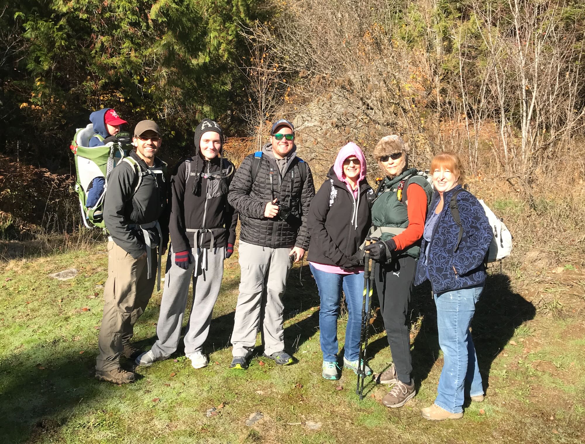
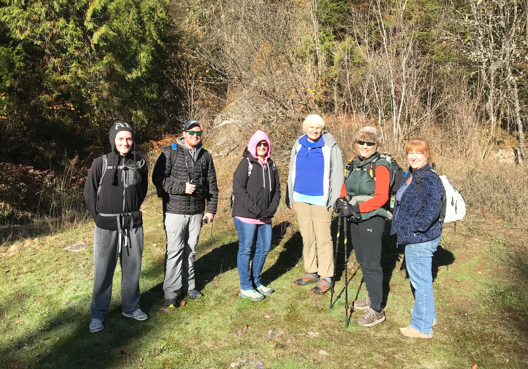
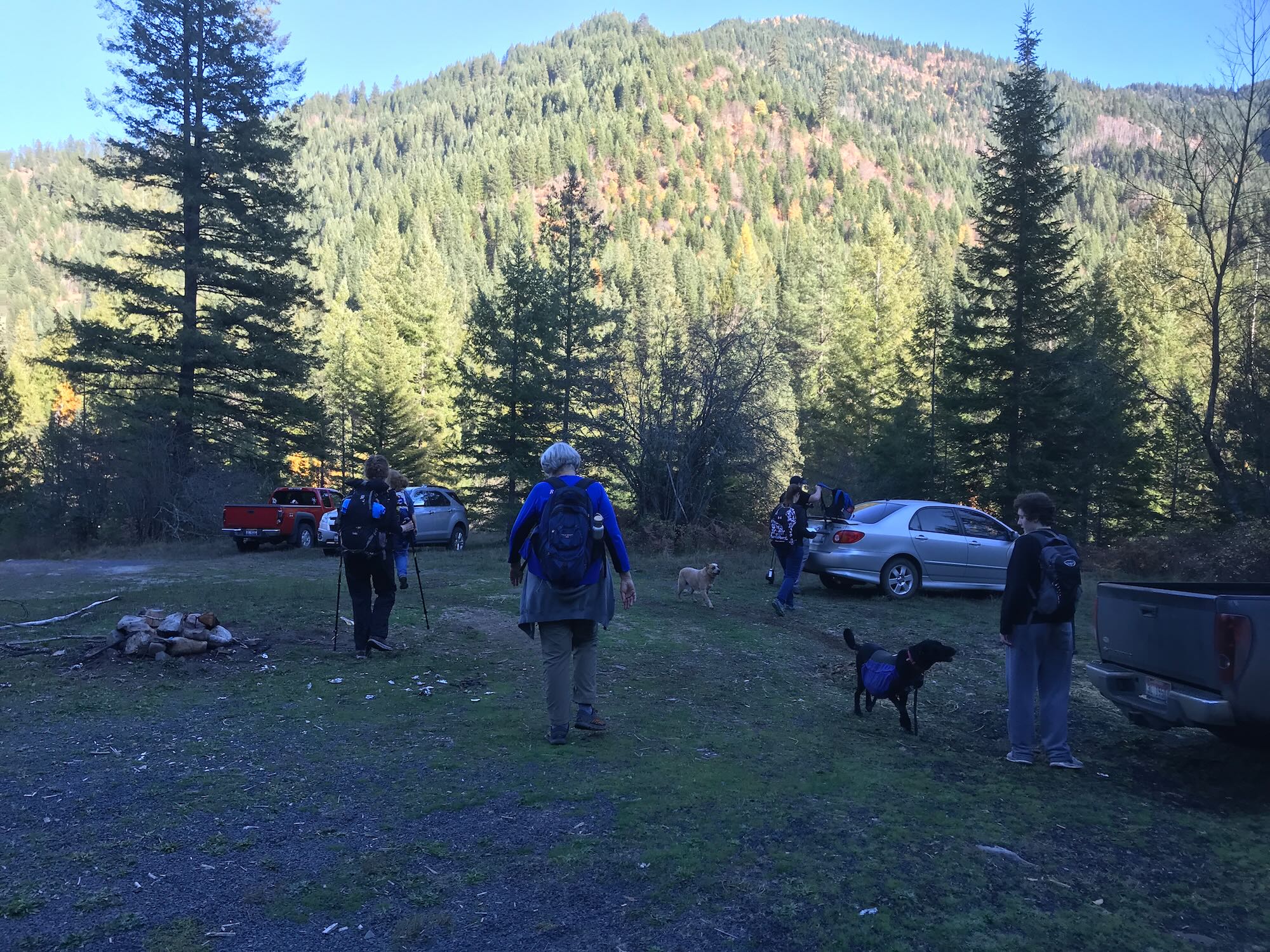
We pulled into the parking area just outside Kooskia at 9:00 AM – right on time. No small feat for me! It was a pleasure to see some new faces in the group and shake hands with people I’d only known on Facebook so far.
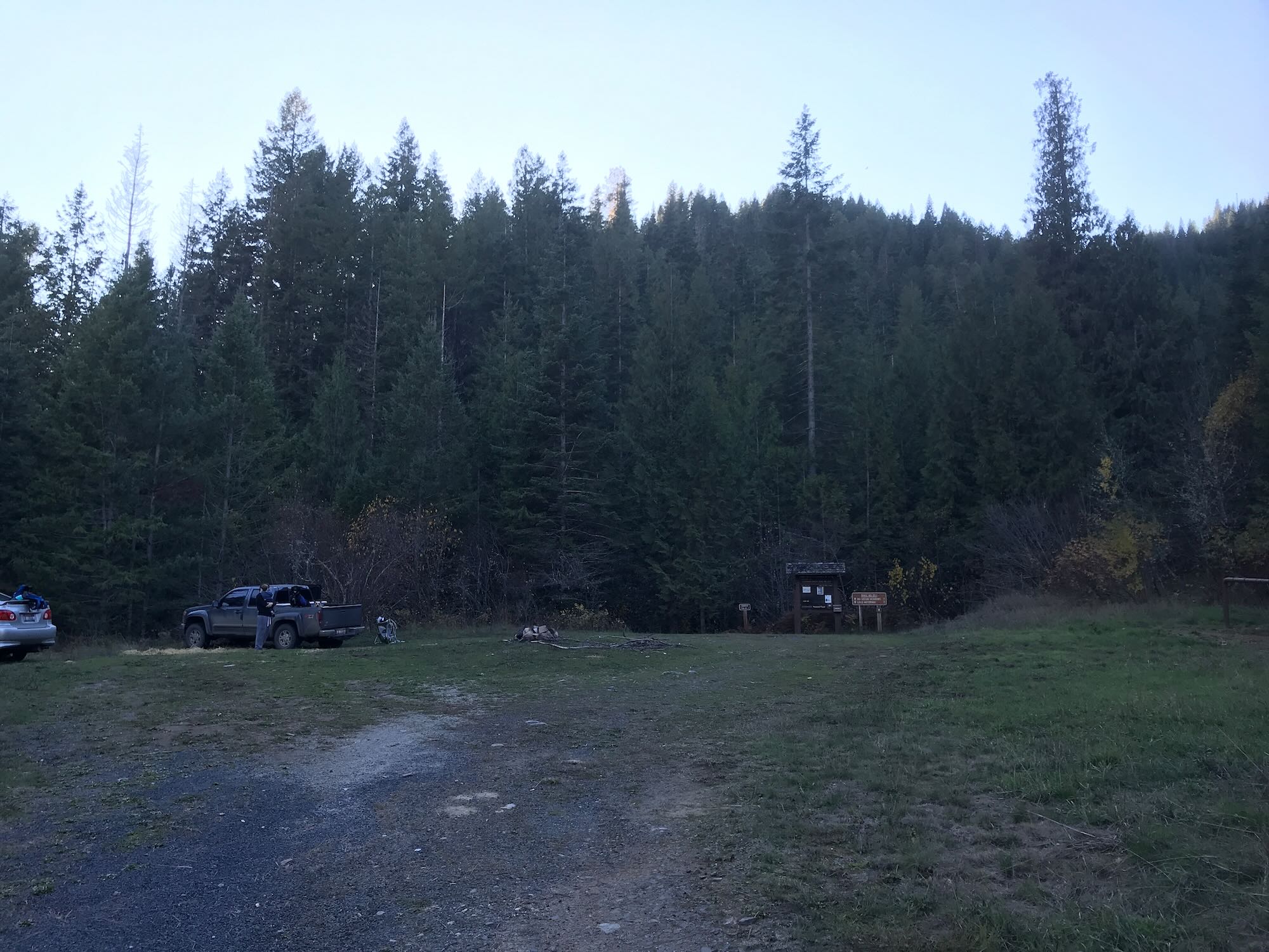
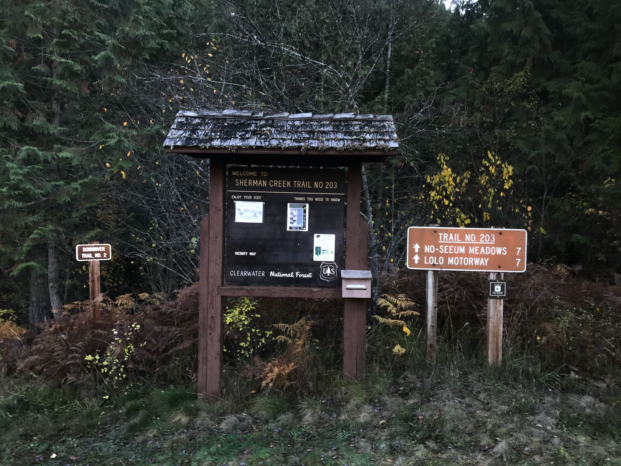
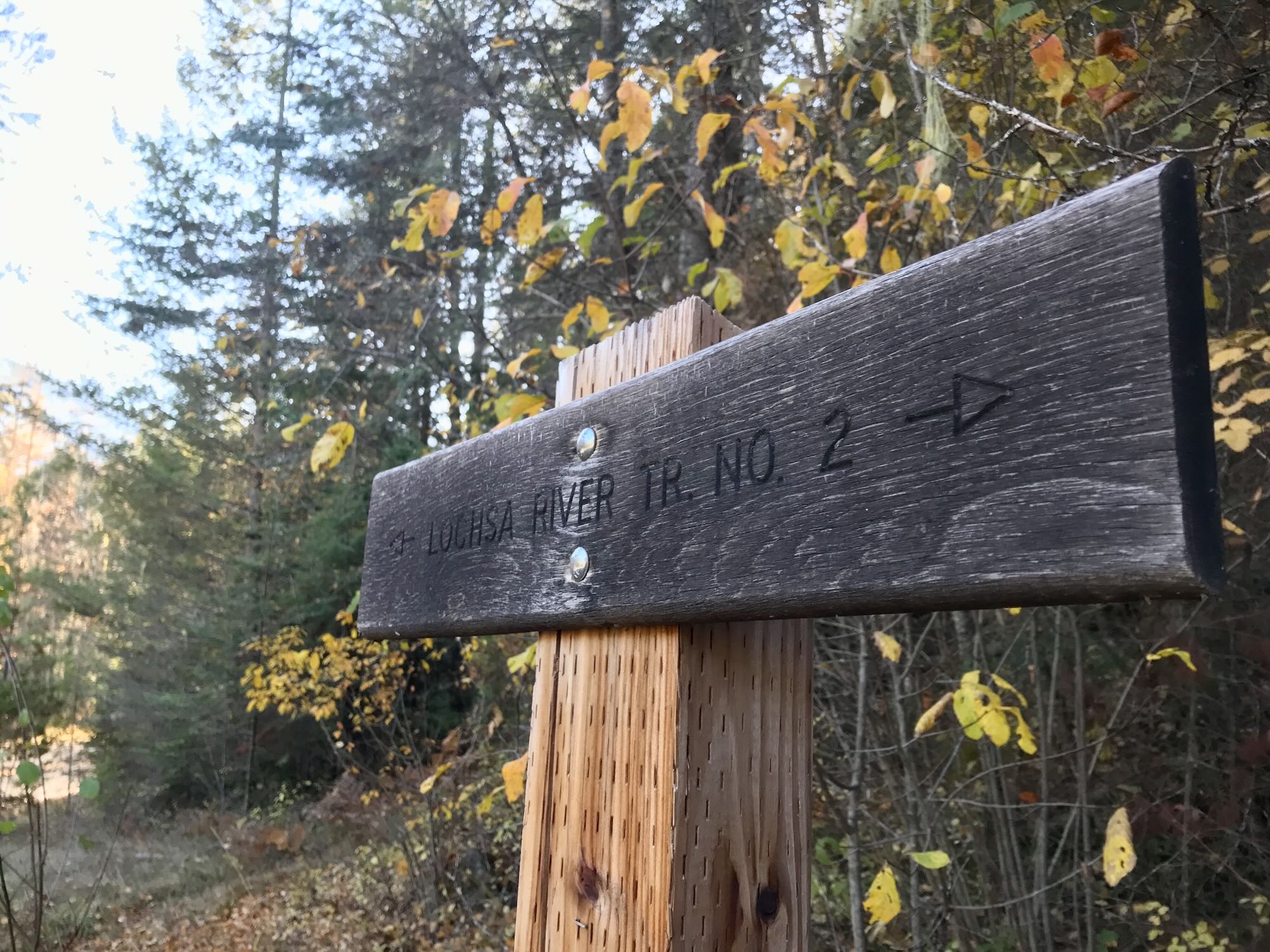
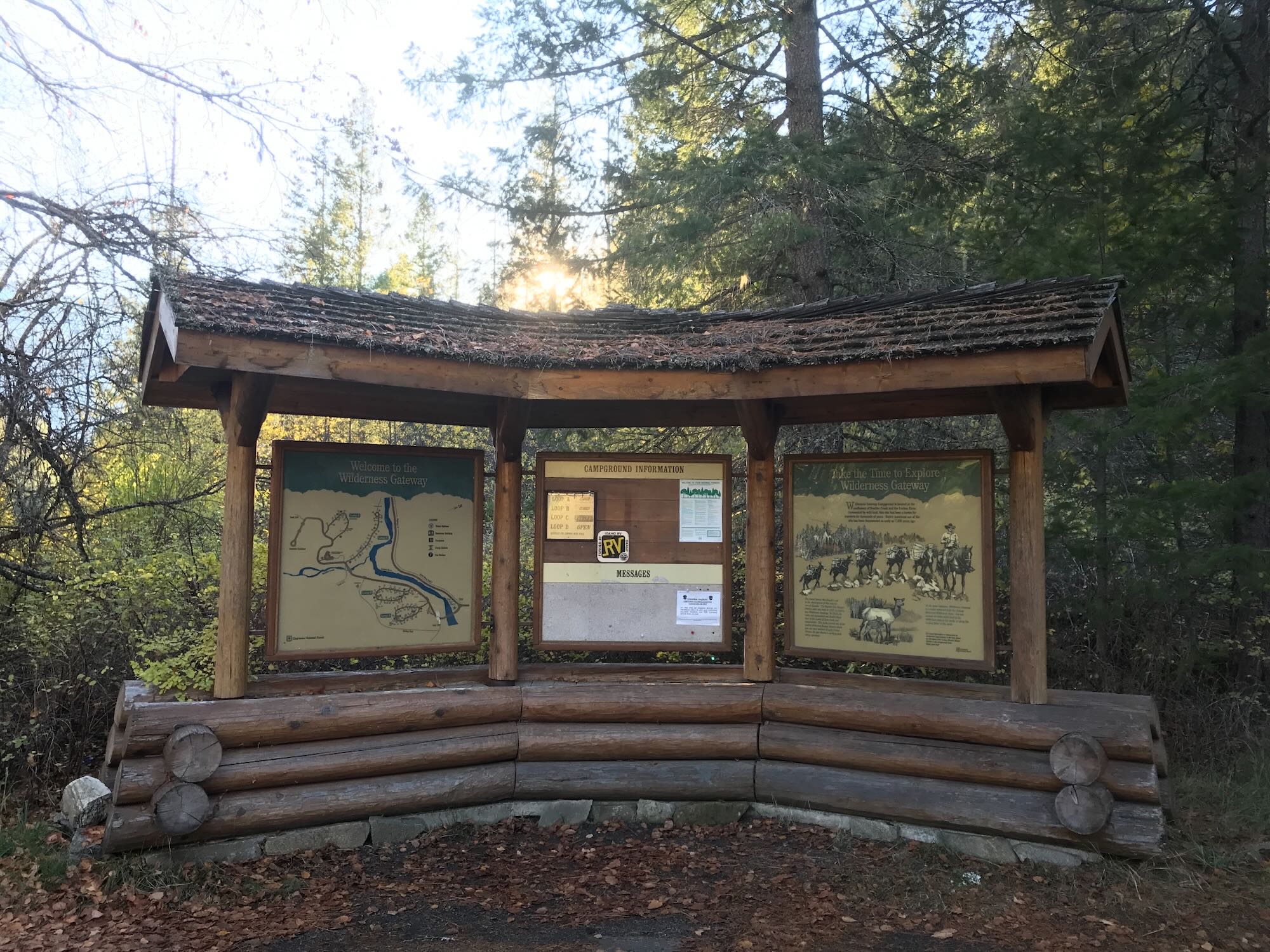
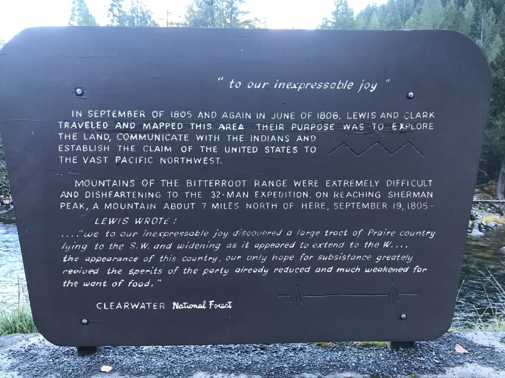
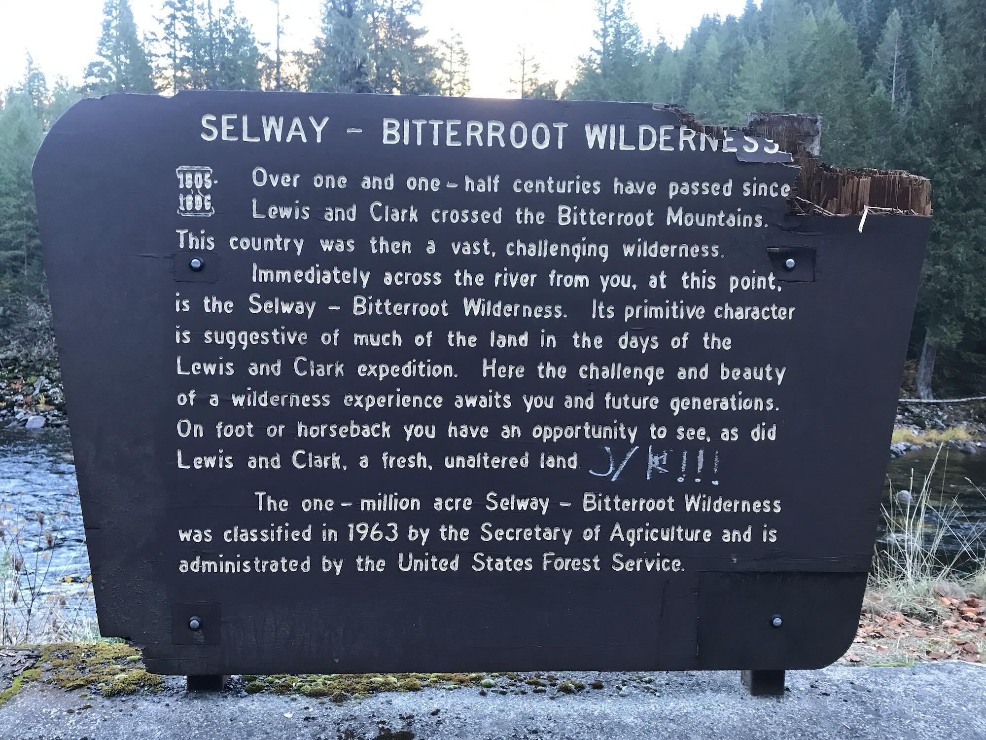
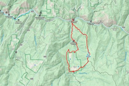
Before long we were on the road again, headed toward the Downriver Trailhead. The Forest Service site says the trailhead was at mile marker 122, just opposite the Wilderness Gateway Campground. The Forest Service map put it somewhere between the Lochsa Historic Ranger Station and the Campground. In actuality, the Downriver Trail #2 starts at the Sherman Creek #203 trailhead just past the Wilderness Gateway Campground.
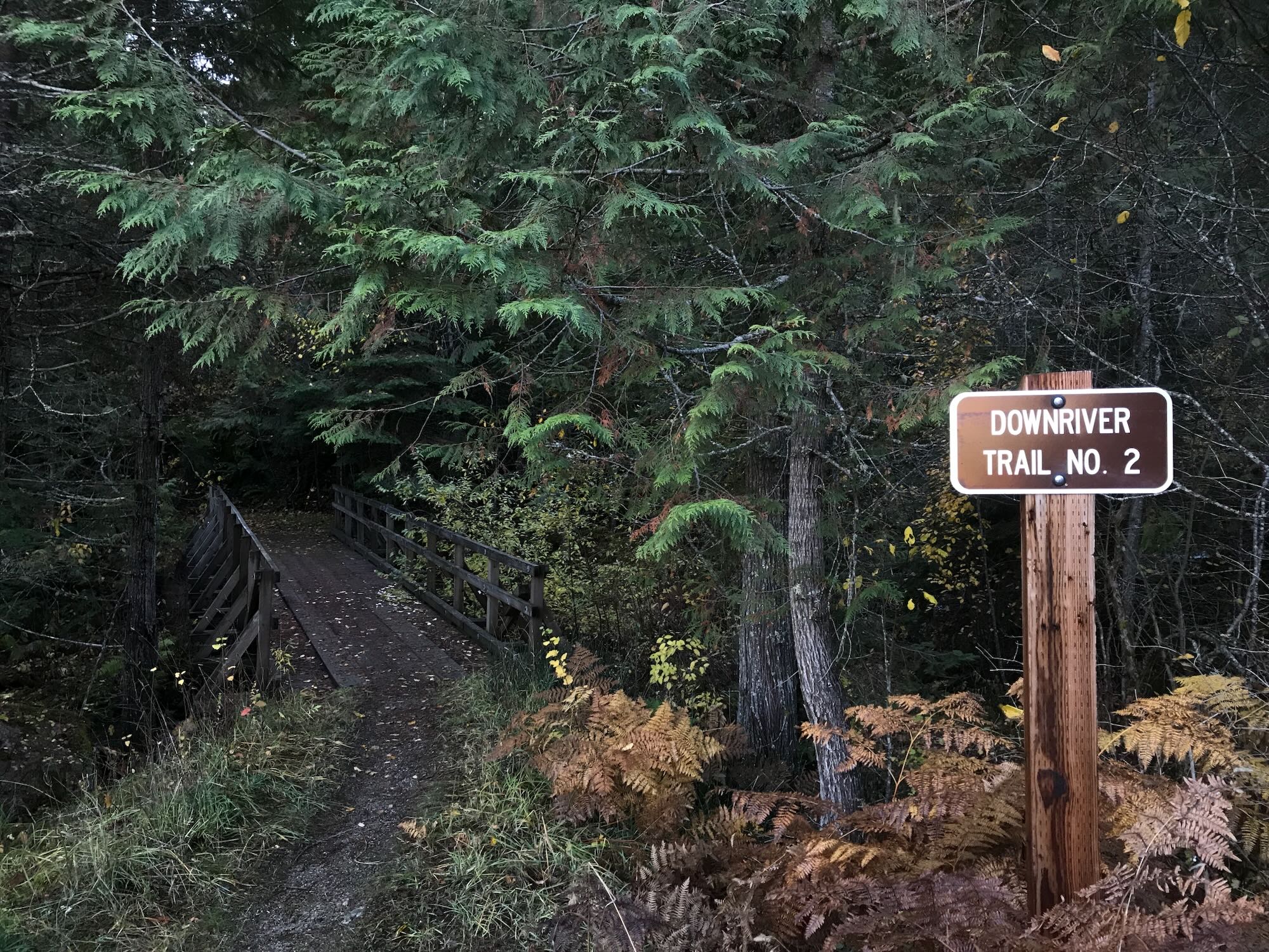
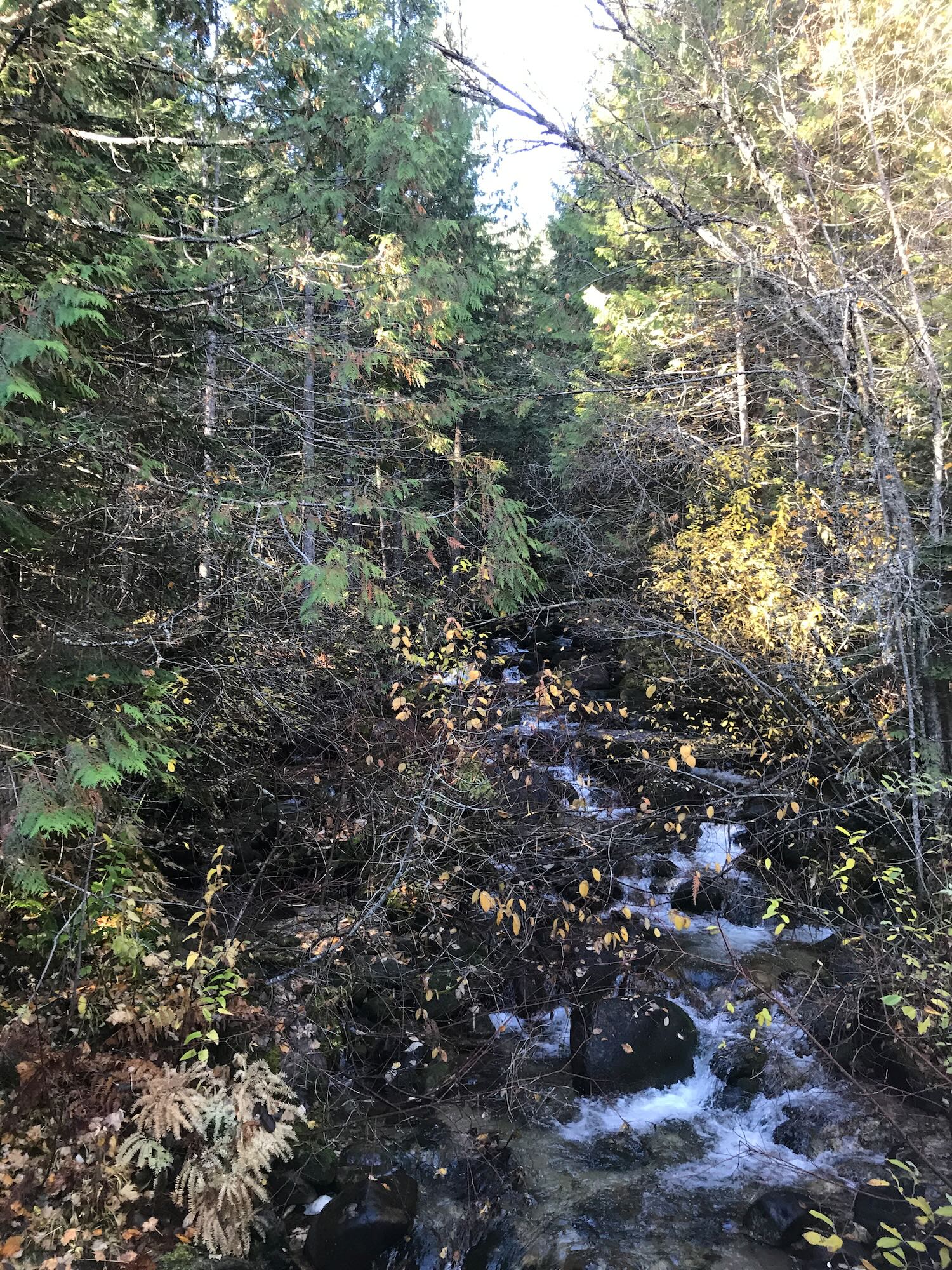
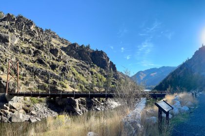
So, as you are headed east on Highway 12, look for the Wilderness Gateway Campground at mile marker 122. Slow down as you pass this because you are going to take your first left just around the bend. There are signs for Sherman Creek and Trail #203. It’s a sharp left that will take you up to an open parking area complete with horse tethers and trail signs. Trail #2 is clearly marked at the back of the parking area and starts off with a little wooden bridge crossing Sherman Creek.

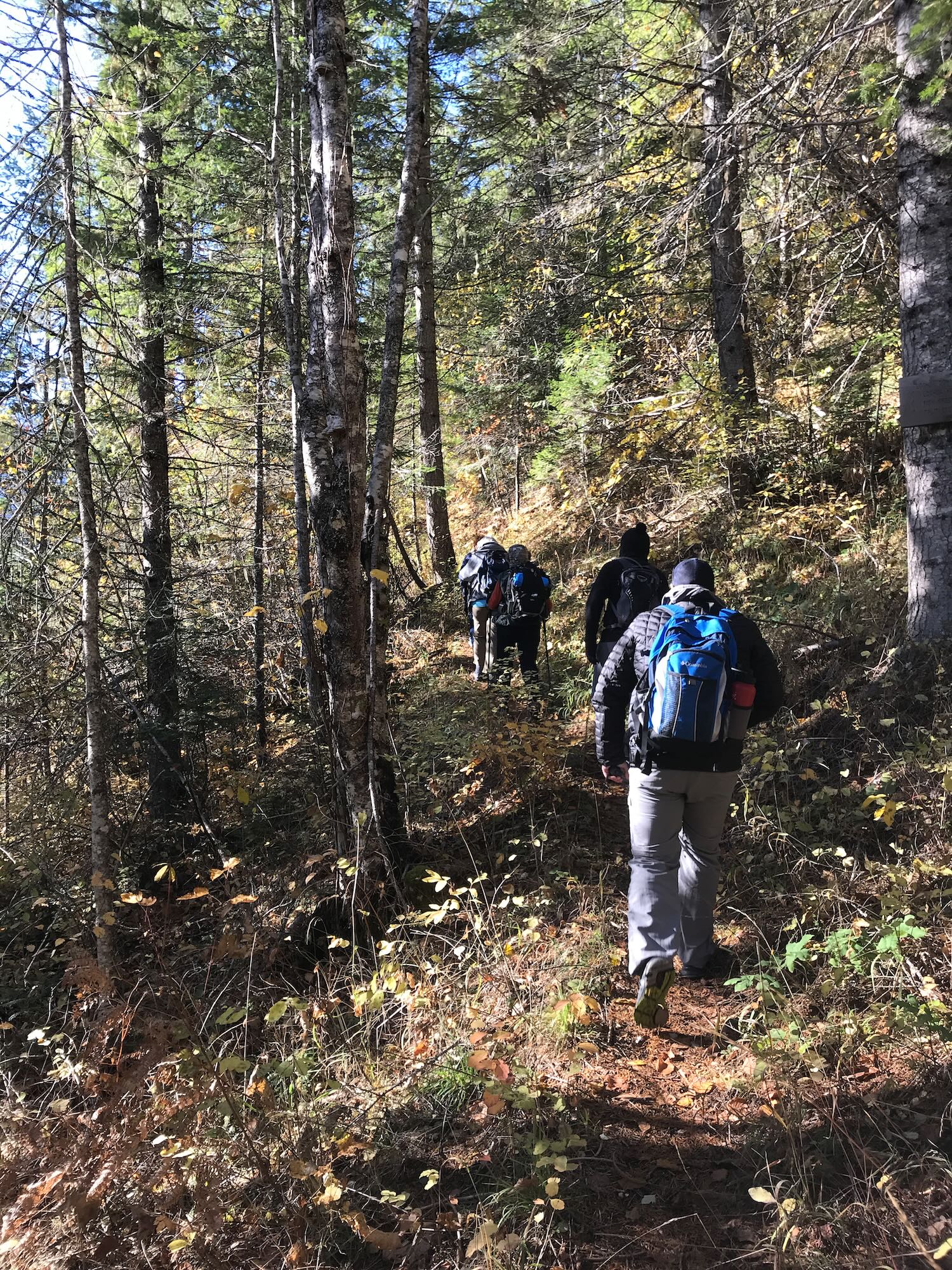
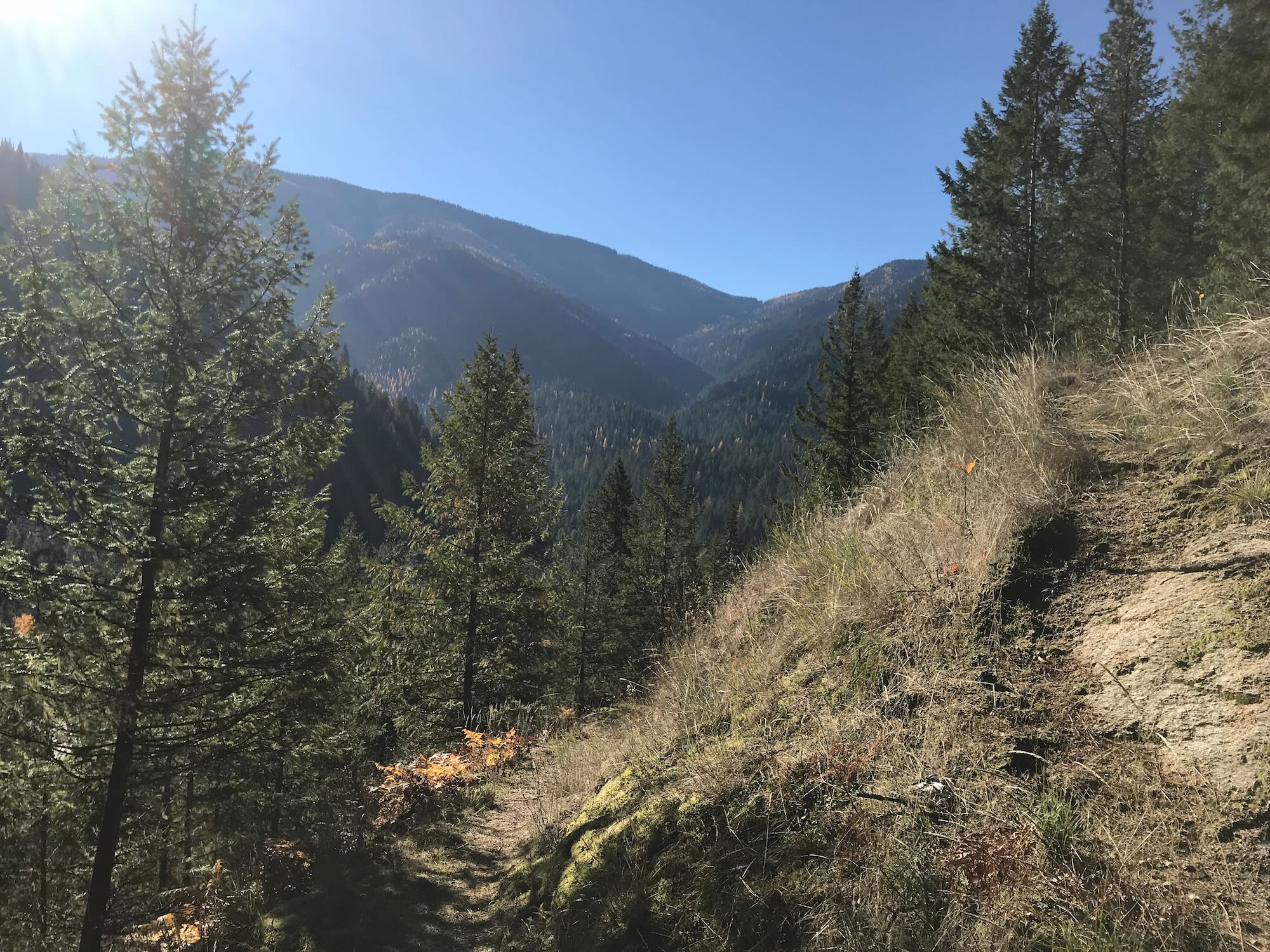
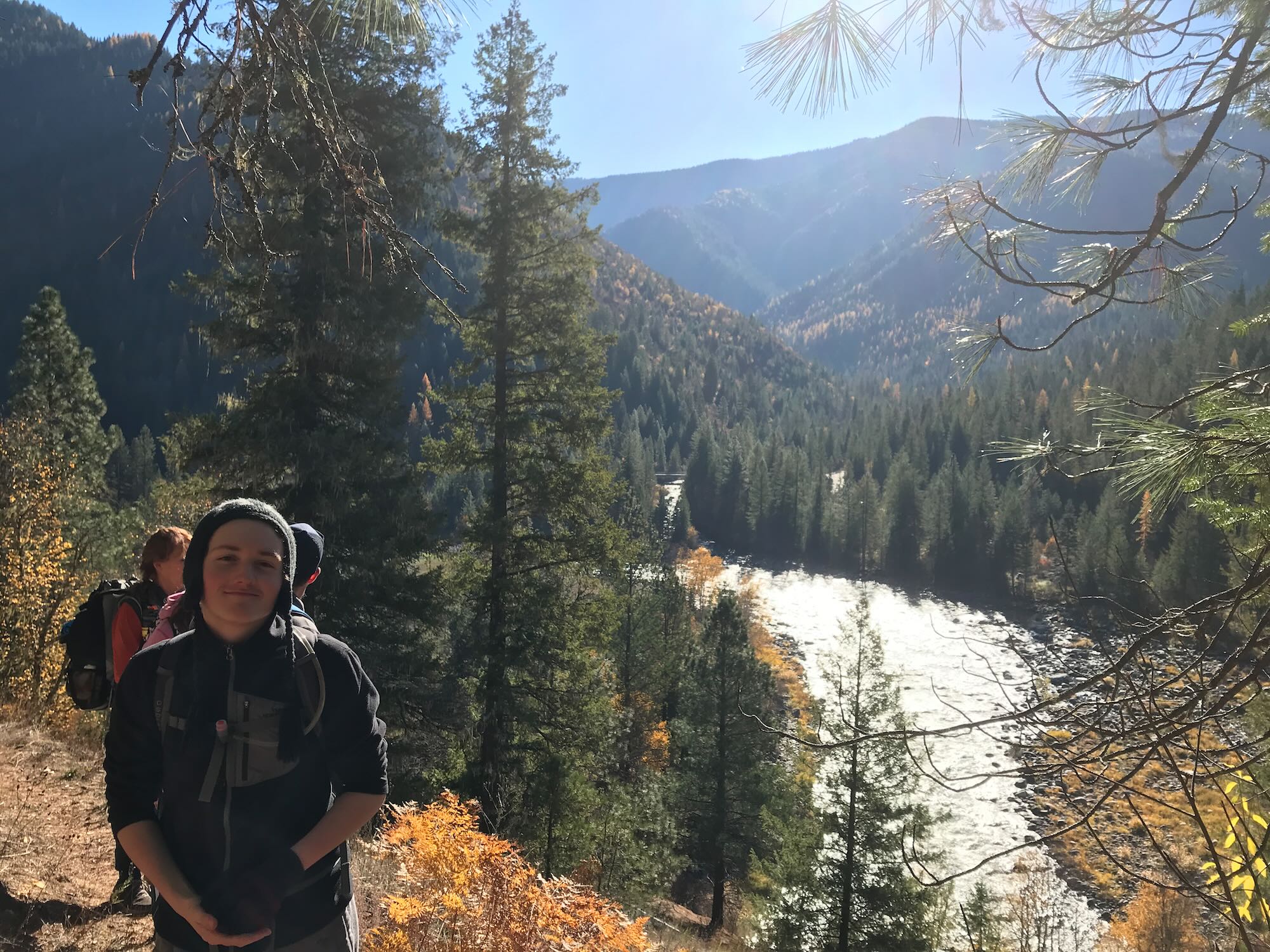
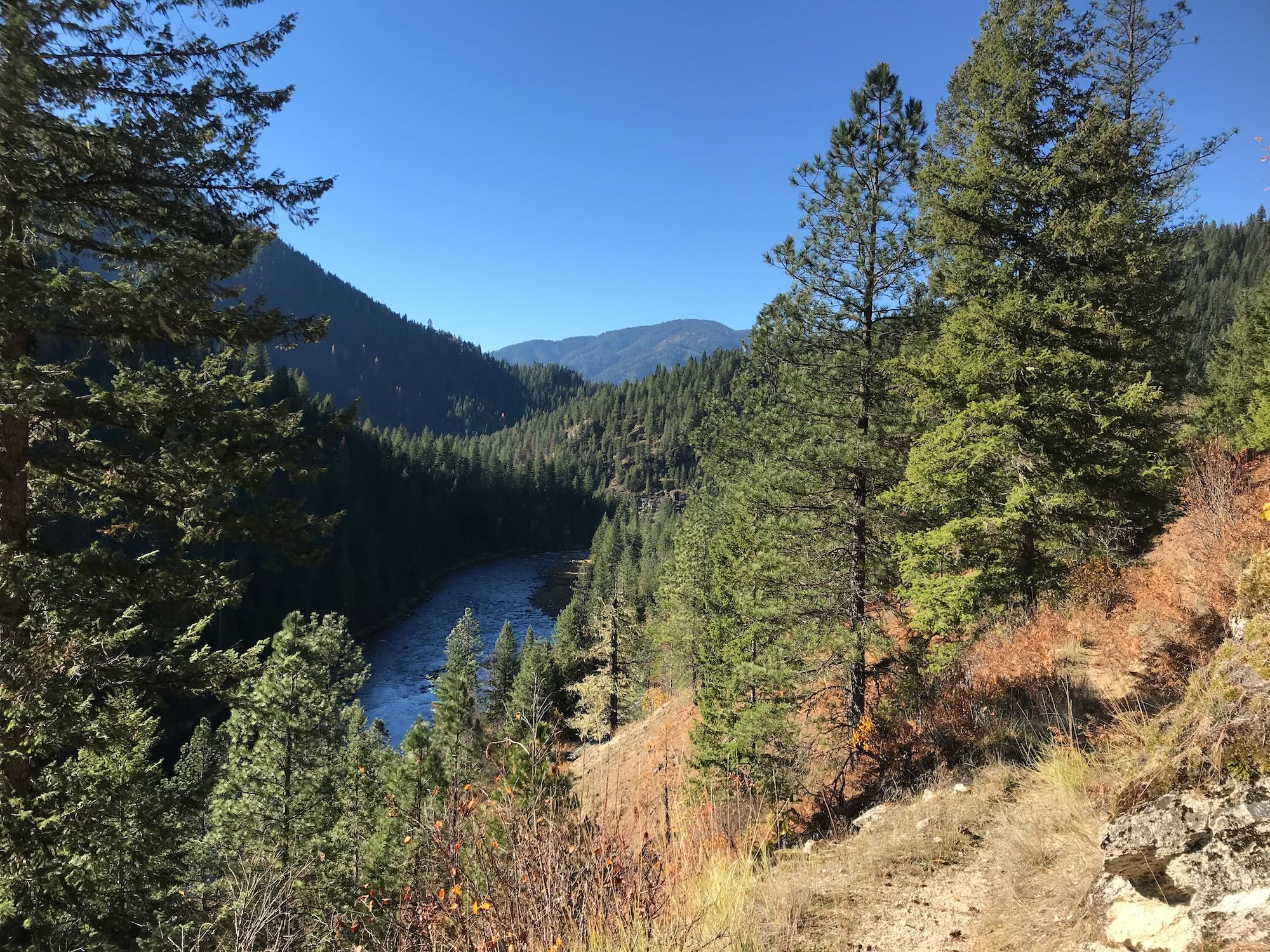
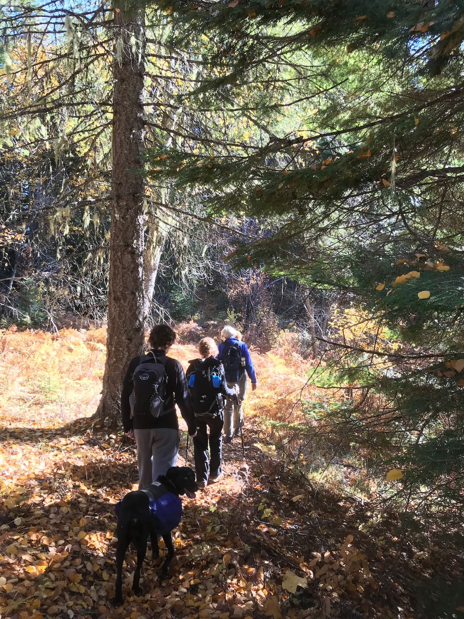
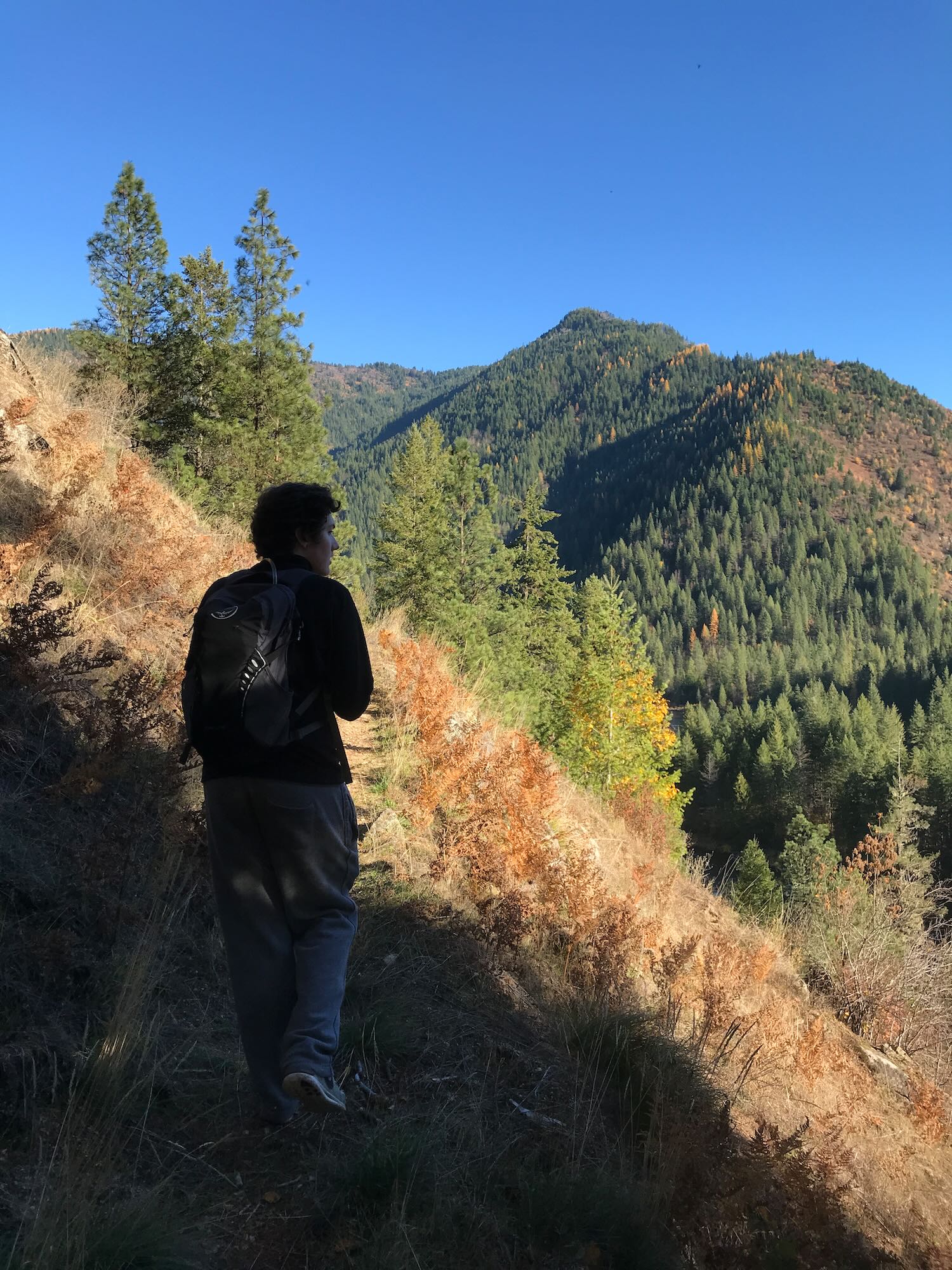
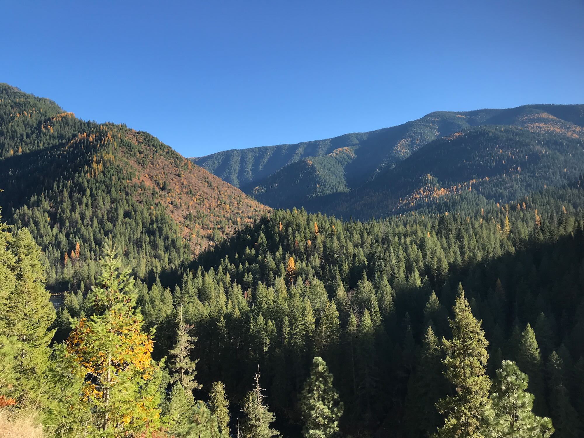
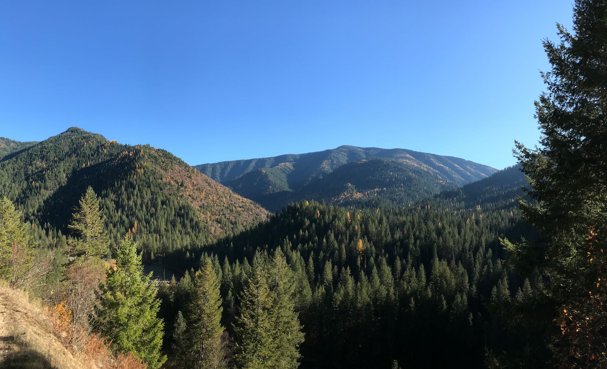
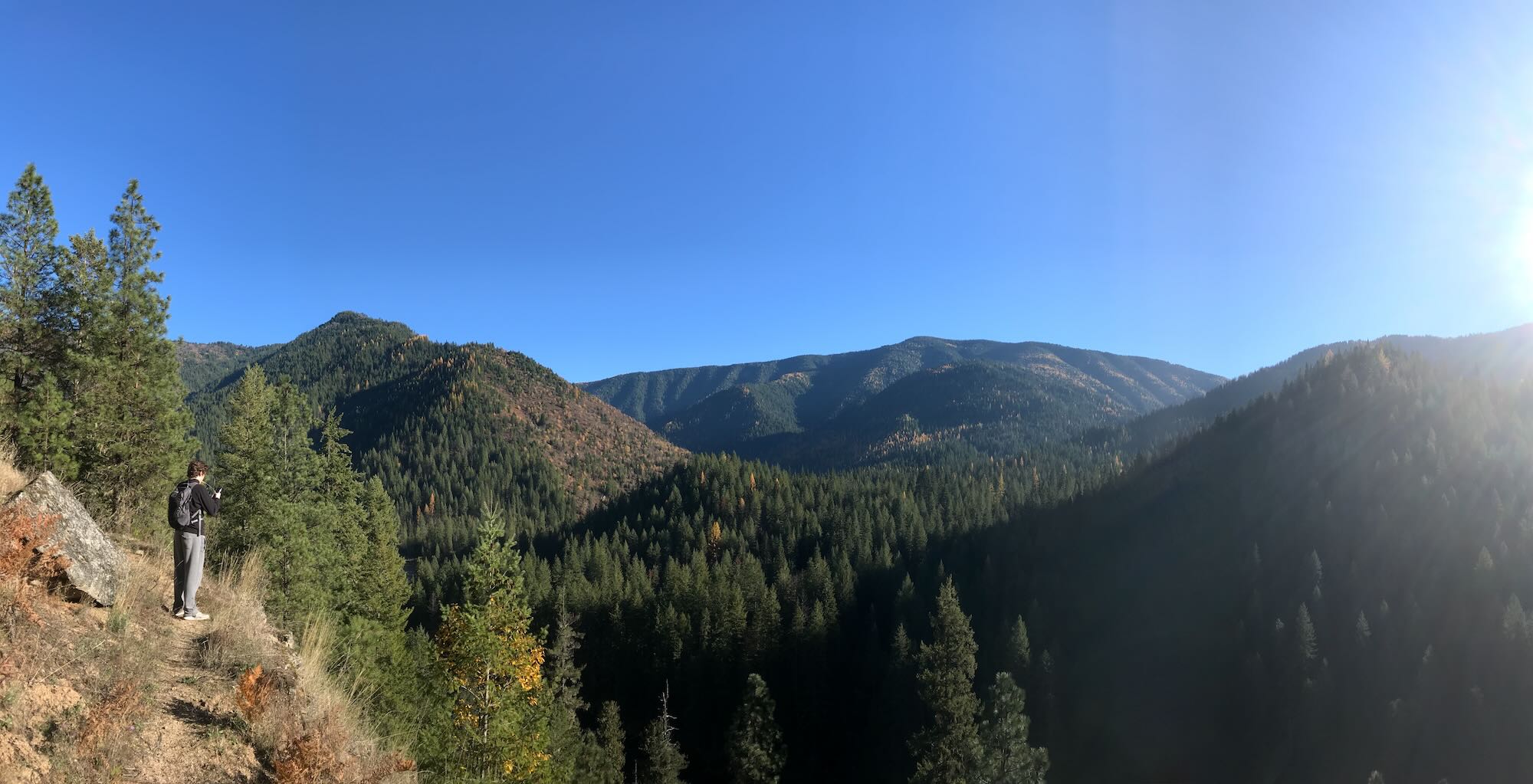
Fall foliage blanketed the narrow trail with vibrant yellow and orange. The late morning sun was burning through the fog and quickly convinced us to shed our top layers. We used the opportunity to take pictures of the far hillside speckled yellow with Western Larch.
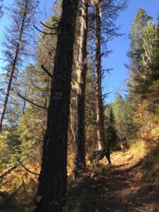
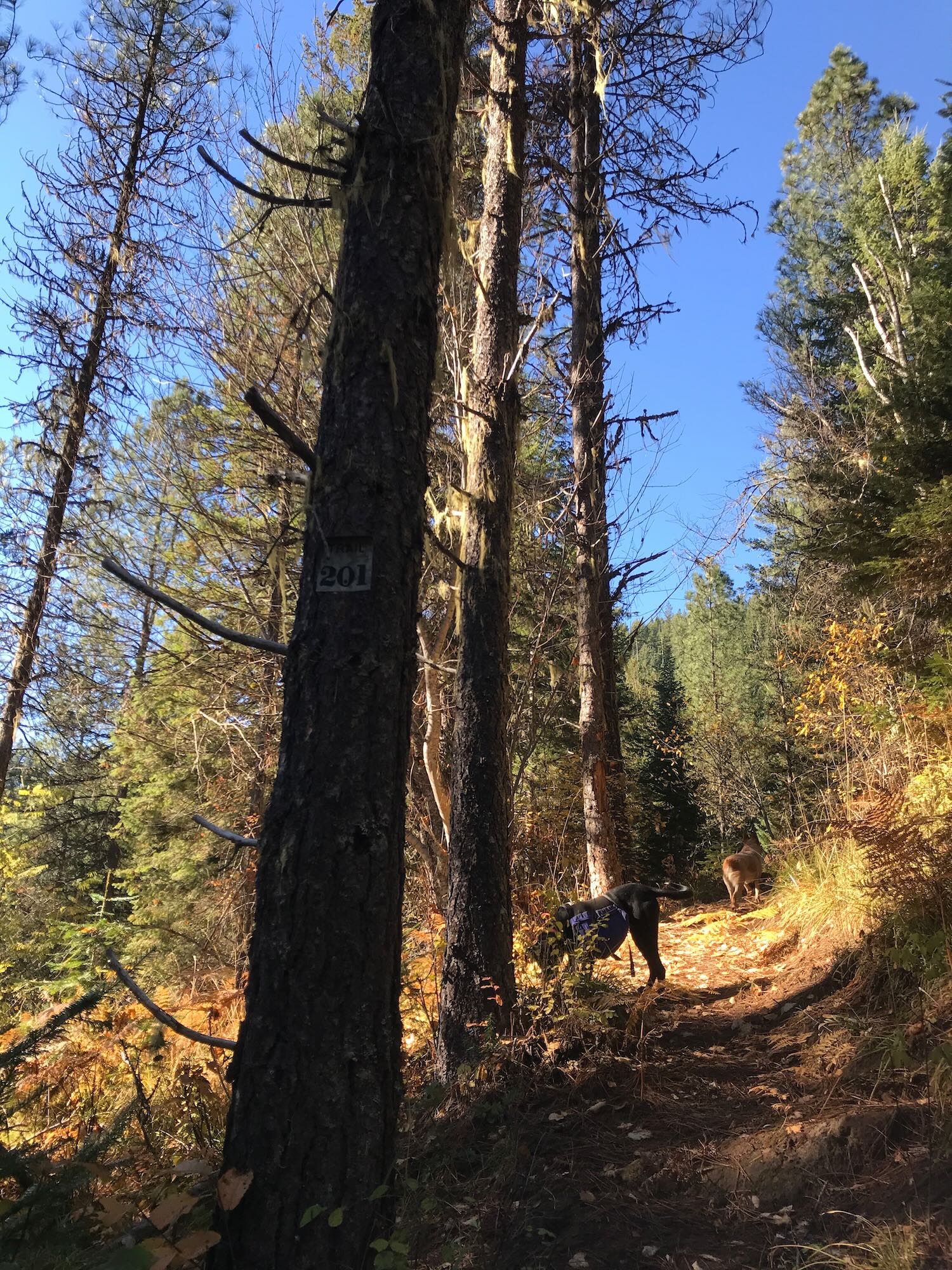
About a mile and a half in we came to the Lochsa Historic Ranger Station where a helpful trail sign told us almost nothing about the fork in the trail ahead of us. The lower trail looked like it simply ran down to the Ranger Station, which made sense as an access point from the station to Trail #2. The upper trail looked a little more used, but it was labeled as trail #201. Of course #201 was not mentioned on the trail sign at all, so we didn’t know if this was an overlap in trails, if we were going the wrong way, or what.
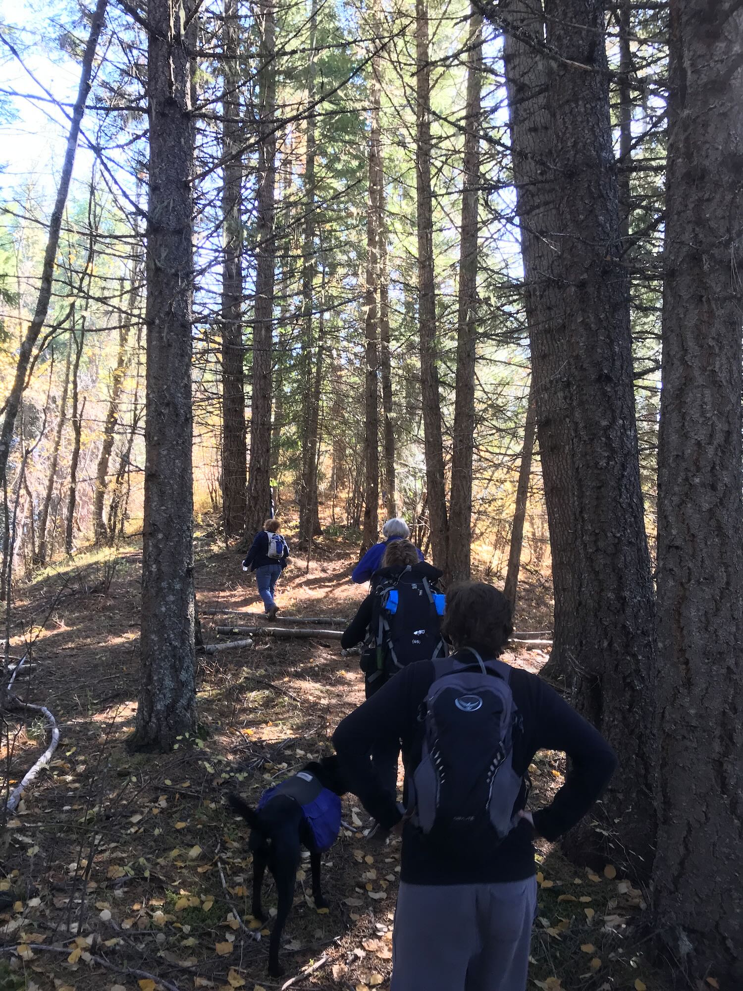
As a group (at least that’s what I’m telling myself), we chose to take the upper trail, promptly walking off of the Downriver Trail and onto trail #201. The map that I left at the house shows this clearly. So does the picture on my phone that I used for the Facebook event photo, but like the perfect come-back for an argument, that didn’t cross my mind for another day or so.
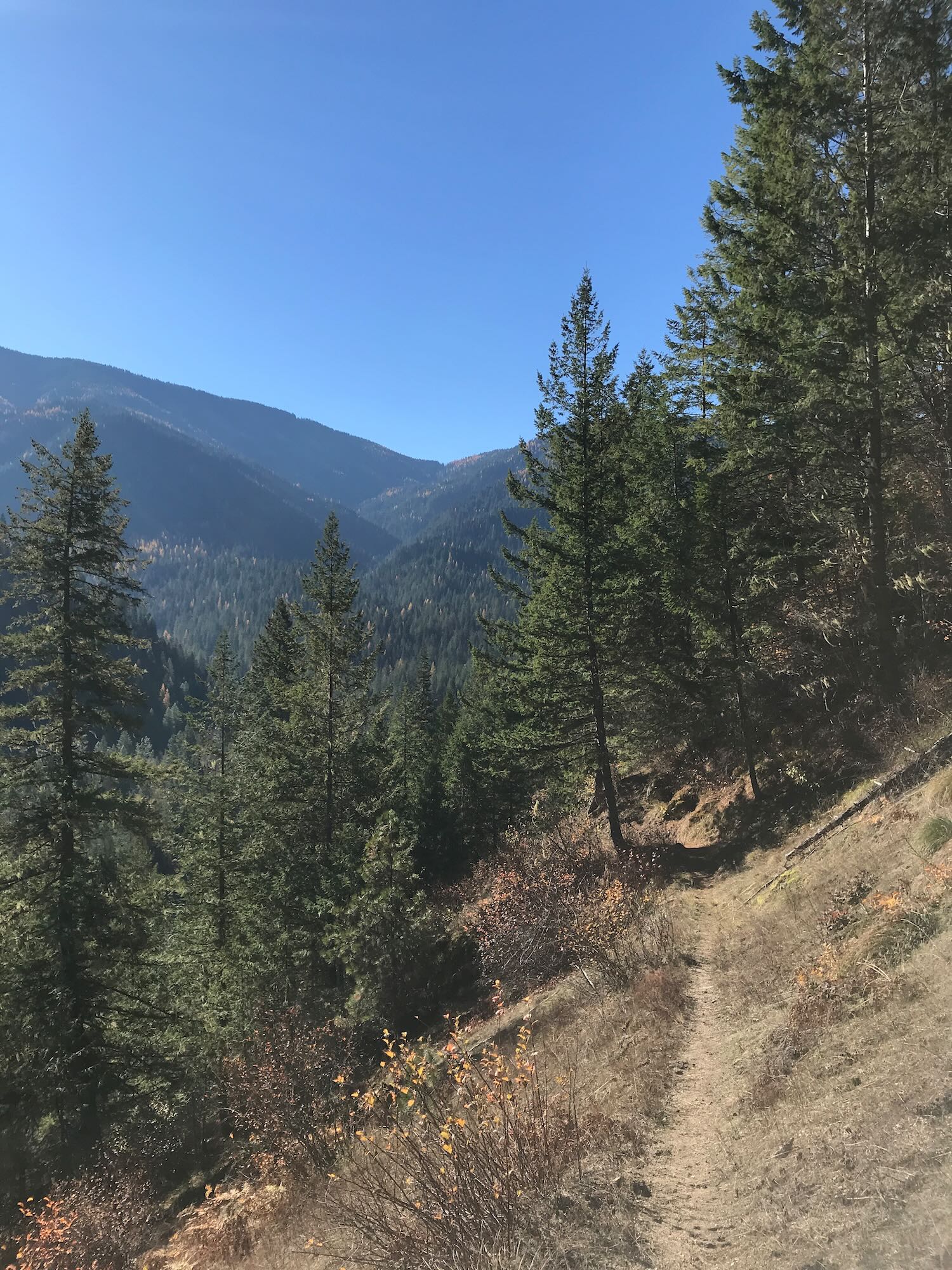
Trail #201 is a pleasant little jaunt that simply climbs the mountain up to 4200 feet and then stops. There is nothing downriver about it.
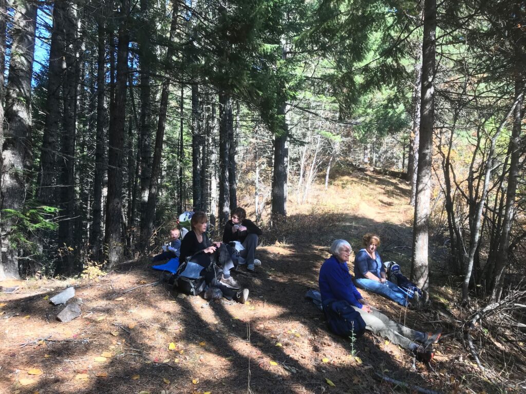
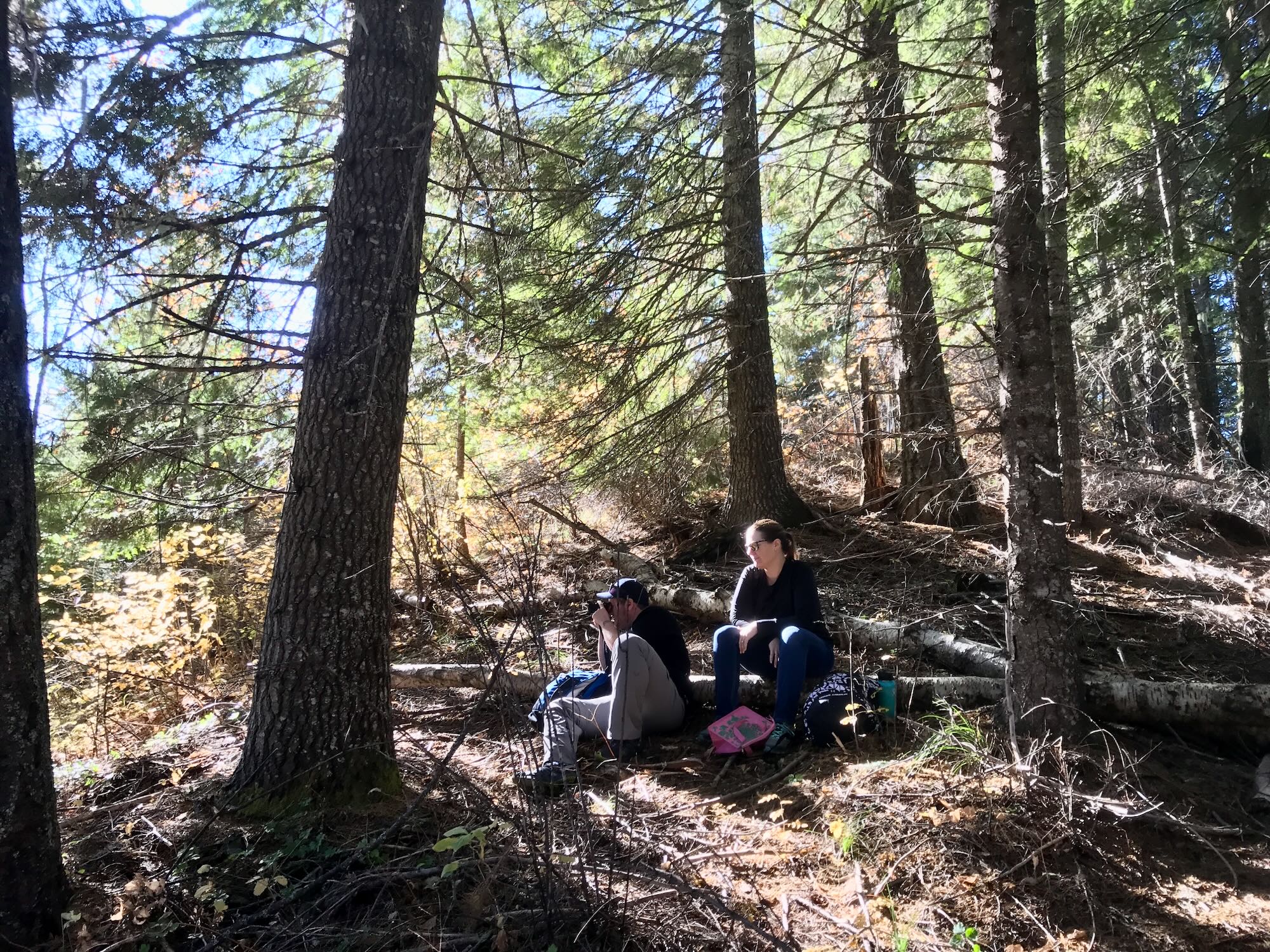
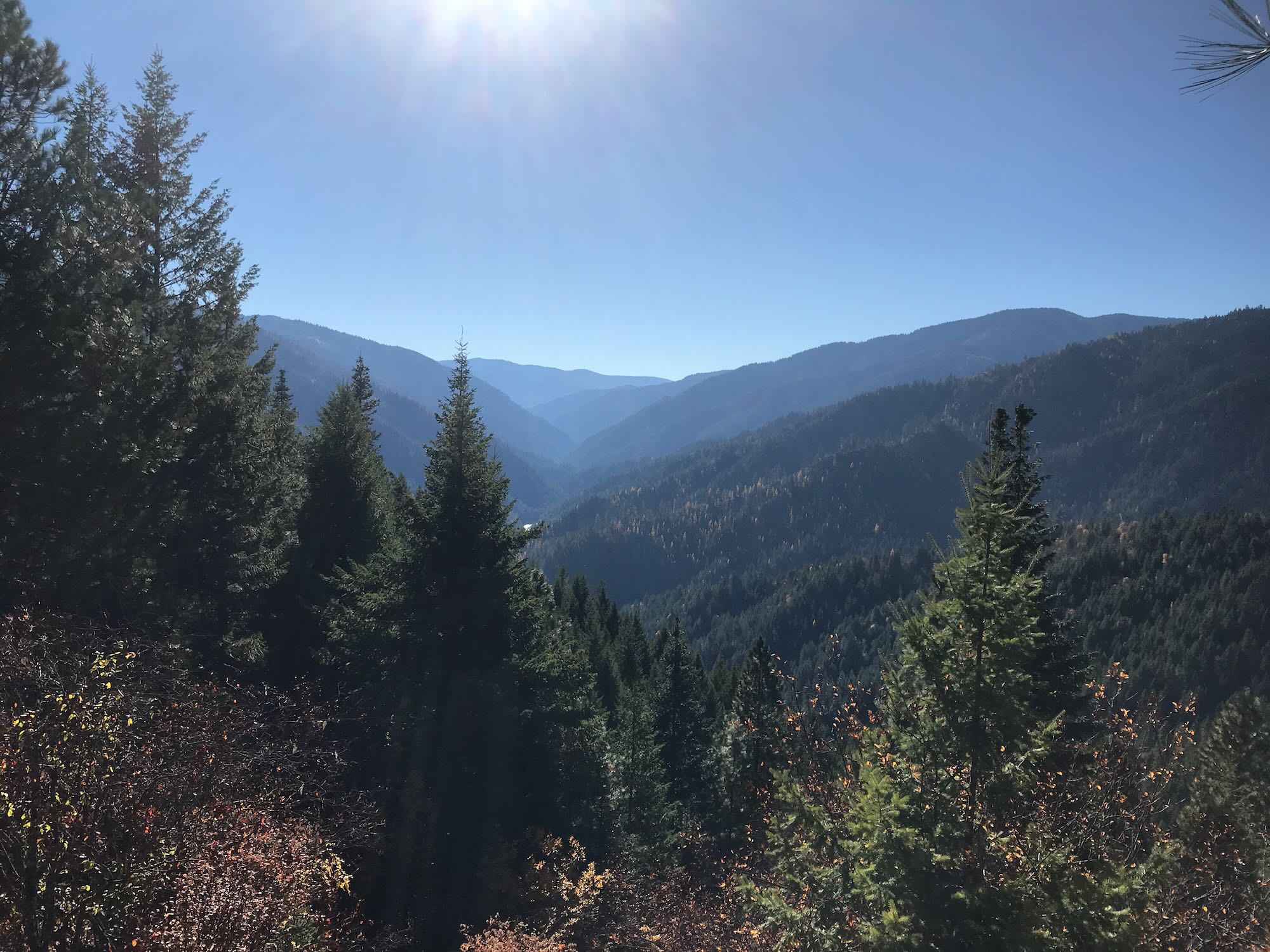
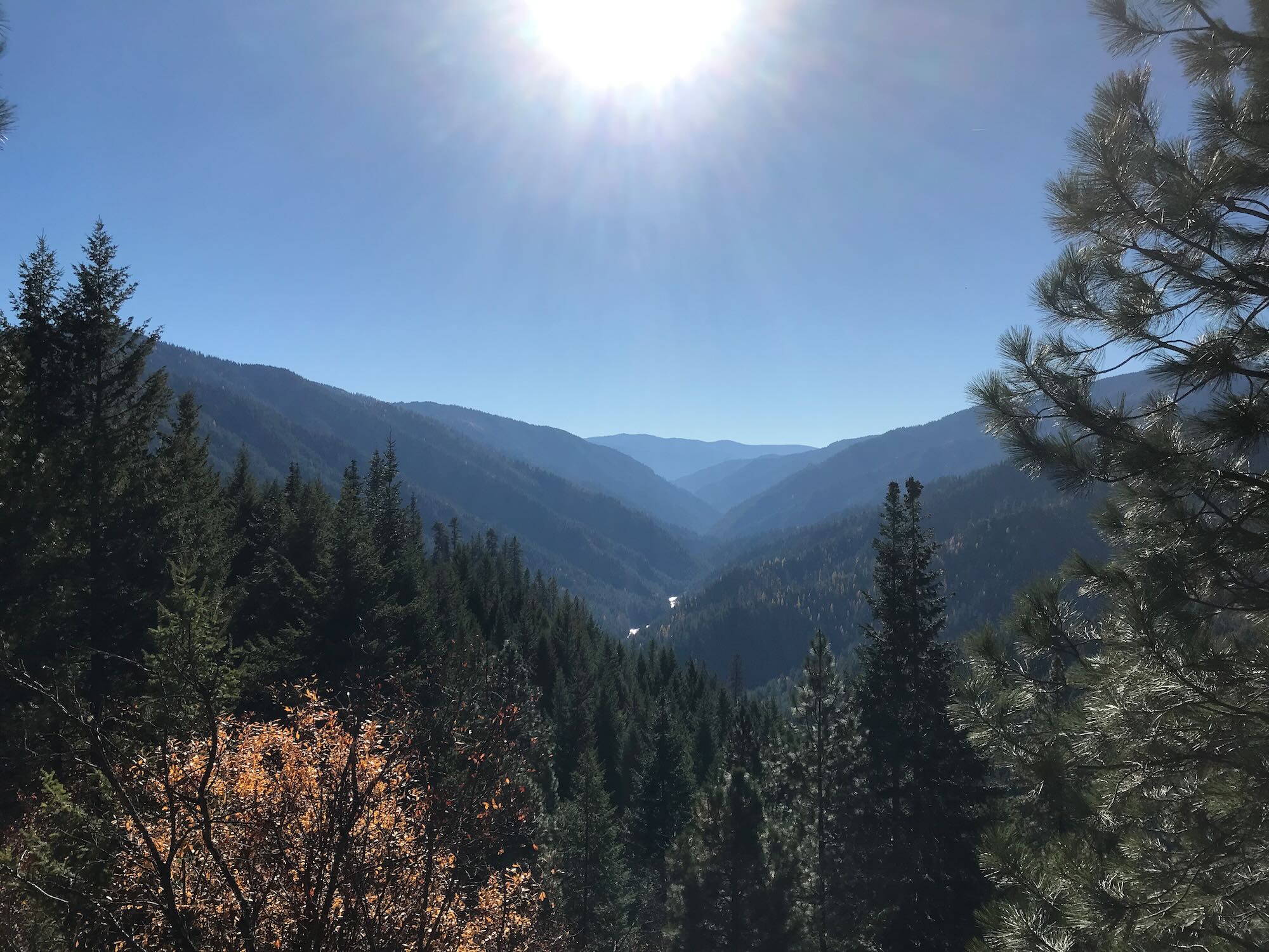
But hikers are gluttons for punishment (and deserve it when they don’t bring a map), so we trudged on. About two miles later, we finally reached the top of the ridge, at which point the trail swung back towards the east and kept climbing. This made the clearing we’d walked into a very appealing place to stop for lunch.
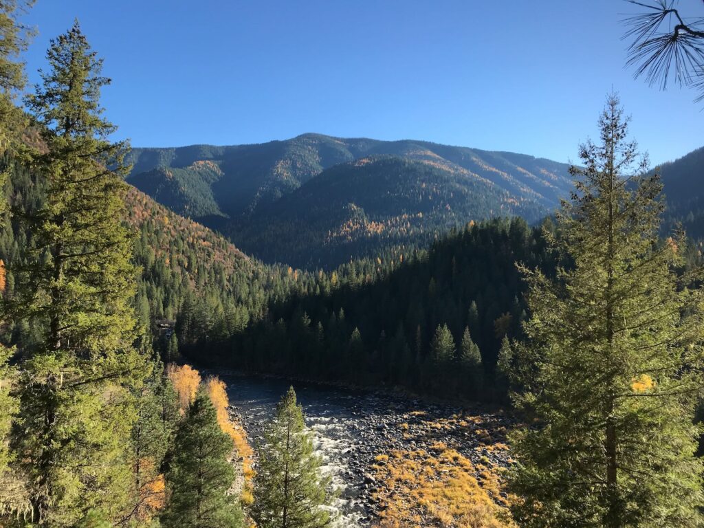
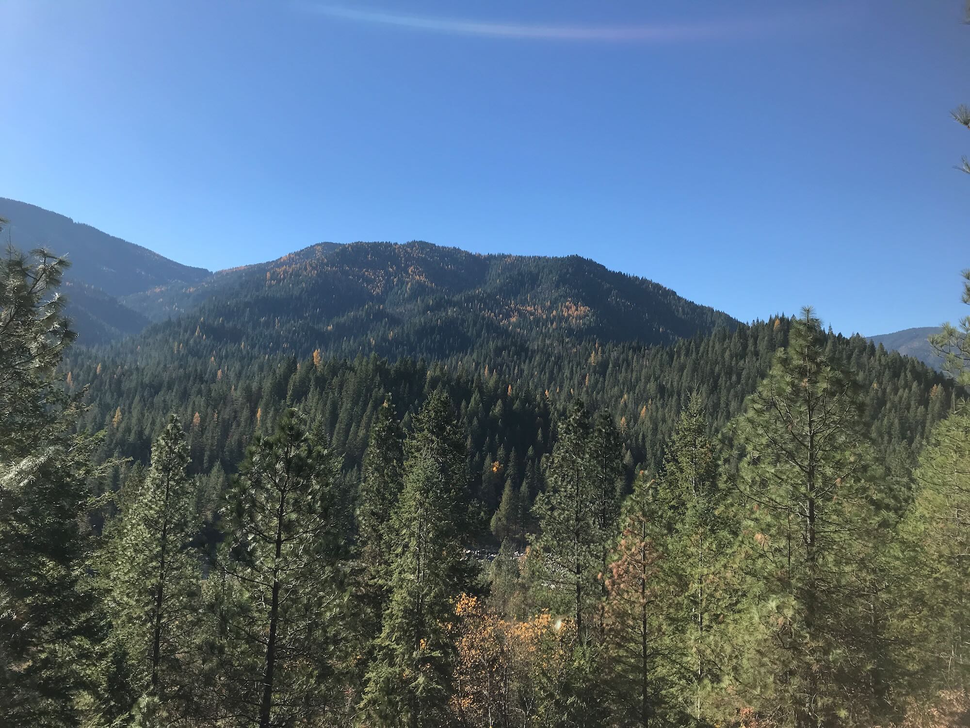
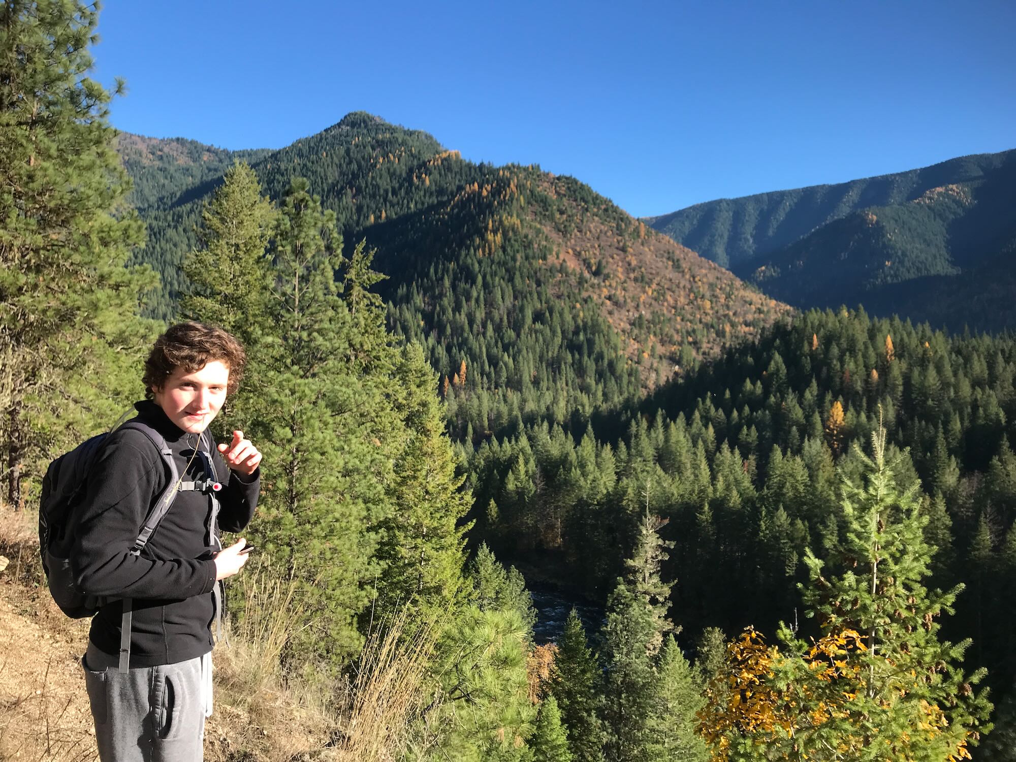
At the last switchback just before we stopped, a spur trail headed west into the trees. We decided to explore it after lunch, just in case it turned out to be the real Downriver Trail. What we found was a short, pleasant walk along the ridge that led us to an old hunter’s tree stand before coming to an abrupt end. Still, it was a beautiful little stretch, and offered a few more photo opportunities.
We made quick work of the return journey, thoroughly enjoying ourselves despite the fact we had just rucked up the side of a mountain quite unintentionally. The day was simply too beautiful to be worried about such trifles, and the company far too pleasant.
I keep putting the Downriver Trail on our calendar because it’s a long trail with supposedly minimal elevation gains. It’s also quite historical to the area. It’s a little frustrating to be thwarted twice, but this has only made the hike more of a challenge and added to the mystery of the trail. Of course, the real mystery is whether anyone will want to make a third pass at it with me!
Come on! The third time’s the charm, right? Who’s with me?
To receive info on future hikes sign up for our newsletter below or in the column to the right. Feel free to join us on Facebook, too!


[…] we’re doing today, the Lochsa Downriver Trail #2. Last time we tried this trail, we ended up on Grouse Ridge Trail #201, climbing up and away from the river behind the old Ranger […]