At the Trailhead of a New Year
2018 introduced me to snowshoeing with a solo hike on the Fish Creek trails in Grangeville. It also introduced me to new friends on a day hike up Rapid River … Read More
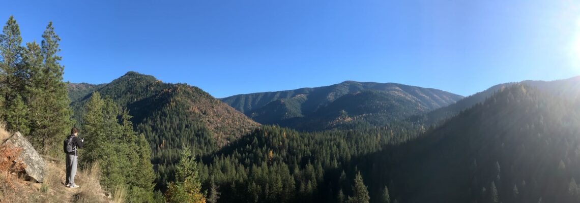
2018 introduced me to snowshoeing with a solo hike on the Fish Creek trails in Grangeville. It also introduced me to new friends on a day hike up Rapid River … Read More
Apparently, 40% is betting odds for rain in the Lochsa. But there was nothing ominous about the clouds that sat low on the mountaintops and graced us with a light, … Read More
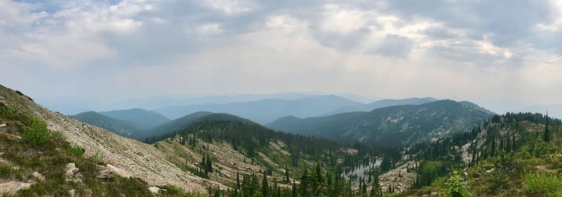
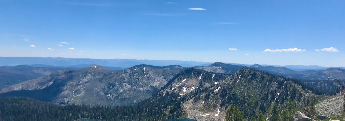
Check out the full Coolwater Mountain Photo Album here! Fire smoke hung densely in the air as the four of us wound our way up Coolwater Road towards it’s junction … Read More
Nate handed me the keys to the 15-passenger van. “You’re comfortable with one these, right?” He asked. “This new one drives like a car, just give yourself some extra stopping … Read More
Trailhead Coordinates: 45.656273, -115.650857 Elevation Low: 7400 ft High: 8600 ft Gains: 1560 ft (one way) Distance: 7 miles (one way) Difficulty: Moderate to Difficult Best Seasons: Late Spring to … Read More
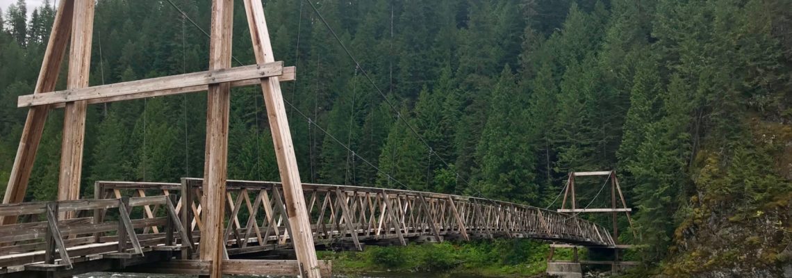
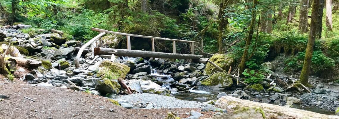
The Windy Ridge Trail is often referred to as the 4th of July Trailhead because it starts off at the old 4th of July pack bridge arcing over the North … Read More
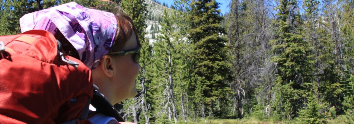
The prairie sky taunted us with droplets of rain as I loaded my son and our gear in the truck. Thunderheads had rolled into Riggins the night before, and the … Read More
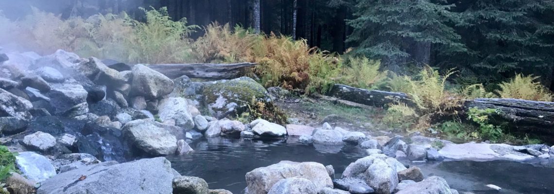
Heavy clouds carpeted the sky as the pups and I made our way down to Grangeville, ID. Uncharacteristically, I was on time to meet up with one of our Clearwater … Read More
I tapped Daniel, my foreign exchange student, on the elbow and pointed through the windshield as we crested the hill at Red Rock Road, heading east on Highway 162. This … Read More