
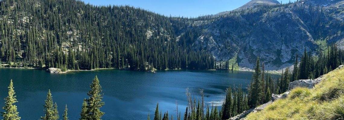
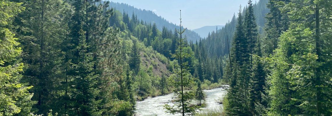
Trekking Smith Ridge Trail to Heart Lake
Difficulty: Moderate to Difficult Best Seasons: Mid to late summer Fees: None Google Map
Difficulty: Moderate to Difficult Best Seasons: Mid to late summer Fees: None Google Map
Difficulty: Difficult Best Seasons: Mid to late summer Fees: None Google Map

Difficulty: Easy Best Seasons: Spring through Fall Fees: None Google Map
Difficulty: Moderate Best Seasons: Spring & Fall Fees: None Photo Album
Difficulty: Easy to Moderate Best Seasons: Year Round Fees: None Photo Album
Difficulty: Easy Best Seasons: Late Spring through Early Fall Fees: None Photo Album
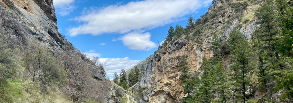
Difficulty: Moderate Best Seasons: Spring through Fall Fees: None Photo Album
Difficulty: Moderate Best Seasons: Spring & Fall Fees: None PHOTO ALBUM

I never win anything in raffle drawings, so after the water bottles were given away during our last dinner at the Transcend ’22 gathering in Slovenia for the Transformational Travel … Read More