- Difficulty: Moderate to Difficult
- Best Seasons: Mid to late summer
- Fees: None
- Google Map
Smith Ridge Trail to Heart Lake is easily one of my favorite hikes of all time. The trailhead is out there a ways, but it’s easily accessible on forest service roads. The trail is used often enough to be well maintained, but not so often to be crowded. Fair warning, though, even if you have the trail all to yourself, you may still find Heart Lake full of campers.
To reach the Smith Ridge Trailhead, you can take Grangemont Road out of Orofino to connect with Highway 11 just north of Pierce and head north to Headquarters. Here, Highway 11 ends and you’ll take a left onto Forest Service Road 247, also known as Beaver Creek Rd.
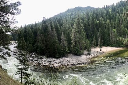
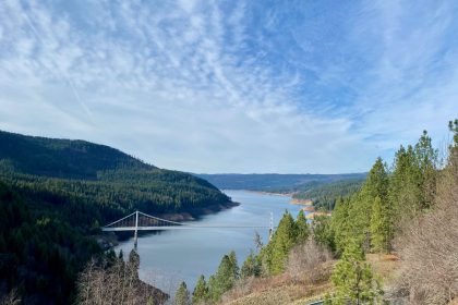
Stay on the 247 all the way to the North Fork River. You’ll cross a bridge and come to a T in the road. FS Rd 247 continues off to the right, which is where you’ll find the Aquarius Campground. To the left is Forest Service Road 700 which passes Isabella Landing on its way up to Smith Ridge. Take the left and follow FS Rd 700 for about 12 miles. There is parking and a toilet building at the trailhead.
There was construction being done on FS Rd 700 during the week, so we had to get in on Saturday and get out on Sunday. Joelle, Norm, and I found each other near Aquarius Campground Friday night and Nell joined us Saturday morning. We carpooled up to Smith Ridge, dropping Joelle’s car off at Isabella Point, and hit the trail at about 9:30 in the morning.
According to Gaia Maps, the trail climbs straight up the east side of the Smith Ridge Saddle. Thankfully, Gaia is wrong. The trail actually takes a much more gradual route up the north side of the hill, rejoining the Gaia route about a mile in.
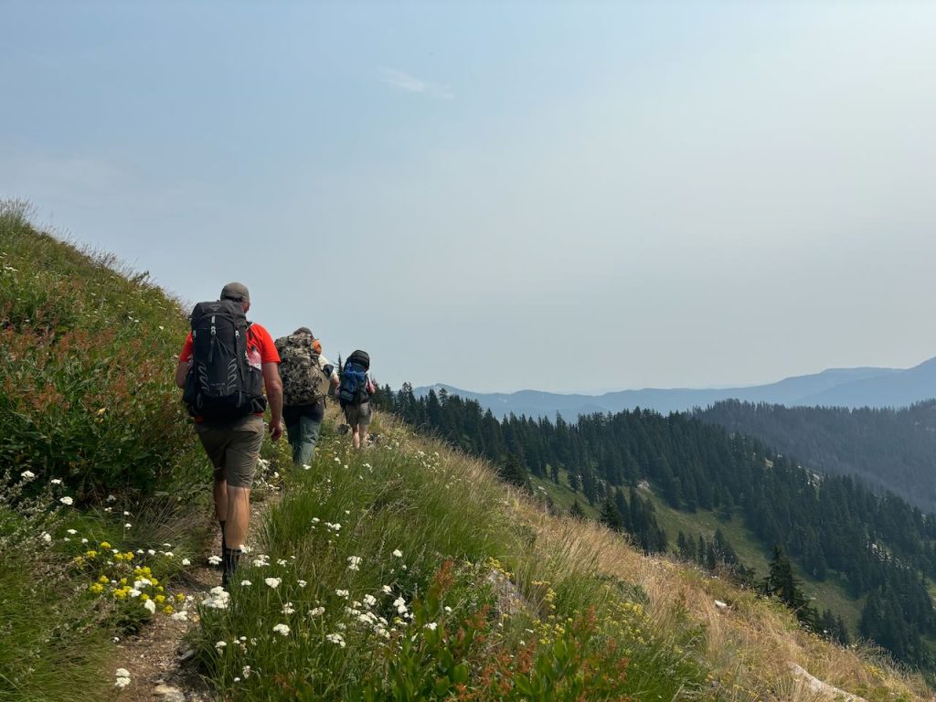
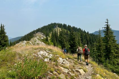
That first mile is huckleberry heaven, with pleasant tree cover and frequent views of looming mountains to the north. And it only gets better from there. The trail follows the ridge line closely offering sweeping views to the northwest and southeast. A distant haze of fire smoke hung on the horizon, shrouding the most distant mountains in mystery.
What’s so fun about this trail is that it’s almost entirely on the ridge, so even though it’s 8 miles to Heart Lake, there is only an accumulated elevation gain of 2,100 feet. That makes it enjoyable. It’s a pleasantly challenging hike that allows you to be present for the wonder of it all.
There is a fork in the trail just below Larkins Peak about 4.75 miles in. Wanting to see the summit, Joelle, Norm, and I left our packs on the main trail and took the fork while Nell continued hiking. Once again, Gaia Maps proved to be a bit misleading. Gaia shows the side trail heading straight up the slope to Larkins Peak, when in fact, the trail loops around Larkins Peak and appears to descend to Larkins Lake and eventually meeting up with the Larkins Creek Trail via Trail 93.
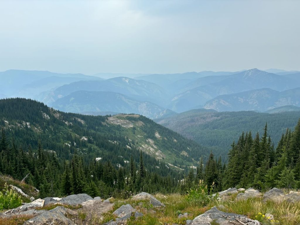
Joelle explored more of this side trail, taking notes for the Great Burn Conservation Alliance, while Norm and I went off trail and climbed up to Larkins Peak. The view was totally worth it! Larkins Lake was a slate of black glass far below us, and the mountains rolled off into the hazy unknown, ridge upon ridge. It’s the kind of view you can’t quite take enough pictures of because you can’t capture the whole essence of it in one shot.
Eventually, we made our way back to our packs, loaded up, and continued on. After Larkins Peak, the trail dips down off the ridge and moves back into the trees. At about the 7.5 mile mark there is a natural spring and possible camp site. It’s a good spot to refill your water before dropping down to Heart Lake. Not all the campsites around the lake have easy access to the water. But even better, you can climb up out of the Heart Lake bowl with empty water bottles in the morning and fill up here before really hitting the trail.
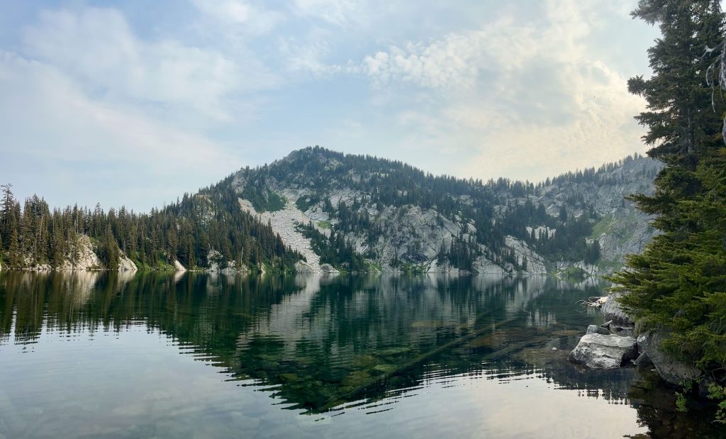
The trail down to Heart Lake is steep and rocky and daunting to think about hiking back out in the morning. But the views of the lake are amazing! About half way down, the main trail continues off to the right to pass above Northbound Lake and eventually reach Mallard Peak. One day, we’ll stay at Heart Lake for a couple of nights and make Mallard Peak a day hike. For now, we just made our way down to to look for an open campsite near the water.
We found four sites around the lake, mostly because we had to. The first site was filled up with U of I students. Some fishermen were camped out at the second site. We scored the third site, which sat back quite a ways from the water, and Norm found the forth site in the morning when we did site surveys for Joelle. It’s good to know that there are options around the lake because that’s a long ways to go to have no where to pitch a tent.
After setting up camp, we took a dip in the lake and then explored around camp a bit. We climbed up onto a grassy slope where we could look out over the Northbound Lake bowl. Soon, we made our way back to camp where Joelle cooked us dinner and we settled in for the night.
Looking over her map, Joelle made plans to meet up with a trail crew the next day. She was going to loop around past Mallard Peak and back out by way of Isabella Point where we had left her car. I lit a pipe and listened to her and Nell talk about Black Lake, packing with goats, and other trail adventures. This was a good crew to share the trail with.
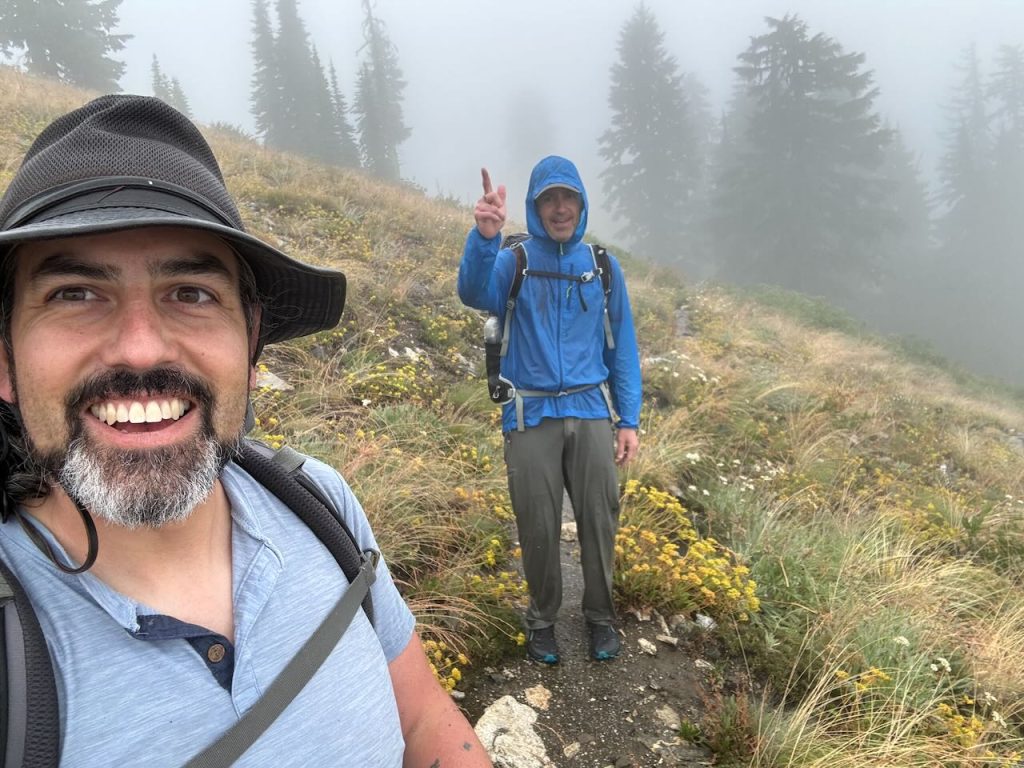
The rain found us in the morning. Fortunately, it didn’t really set in until after breakfast and site surveying. But once it settled in, it didn’t let up. We bid Joelle farewell and then set off for the trailhead and dry warmth of our vehicles with determination. Nell didn’t stop at all. Norm and I stopped at the spring to fill up on water and didn’t catch up with Nell again until just before the trailhead. We were all soaked to the bone. There wasn’t anything on us that wasn’t wet. We just kept moving to stay warm.
Despite the rain, Norm’s disposition was nothing but sunny. I’ll hike with that guy any day of the week. His cheerful attitude even made going through the soaking wet, head-high shrubbery a laughing matter. By then, we’d already given up on dodging puddles in the trail and resorted to wading through the ankle deep water. But good company and the steady pace made the whole thing a fun adventure.
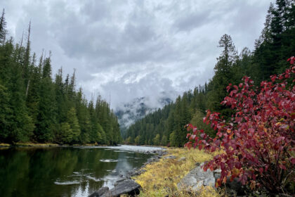
Back at the trailhead, we took turns getting dried off and changed in the restroom then made our way back down to the North Fork River. For some reason, it’s always a bit surreal to me to come back to the starting point of the journey. Usually, that’s the trailhead, but this time that was the campsite near Aquarius where I had met up with my new hiking friends. That’s where the adventure started for me. Coming back and saying farewell to everyone is like crossing a threshold of sorts where I leave the Otherworld Journey behind and head back into the Everyday World and home.
The magic in that moment is the promise of return.
I don’t know if we’ll make it back to the Mallard Larkins Area in 2025. I have my sites set on Uttarakhand, India for our Seek the Sacred Himalayan Journey in September. We were hoping to do this trip in October of 2024 but didn’t get enough participants, so we’ve dropped the price significantly and rescheduled for September of 2025. If you’re at all interested, please click the link above to learn more.
Whether you join us in India or not, we look forward to seeing you on the trail, so dig out those snowshoes and keep an eye out for upcoming adventures with The Clearwater Trekkers soon!
#SeektheClearwater


