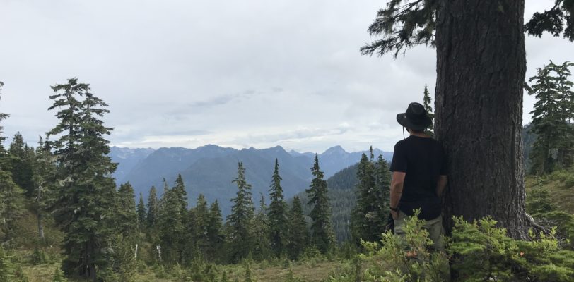
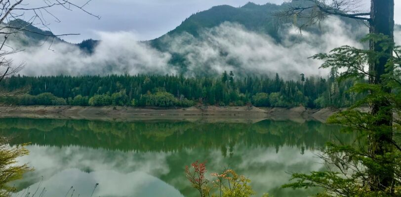
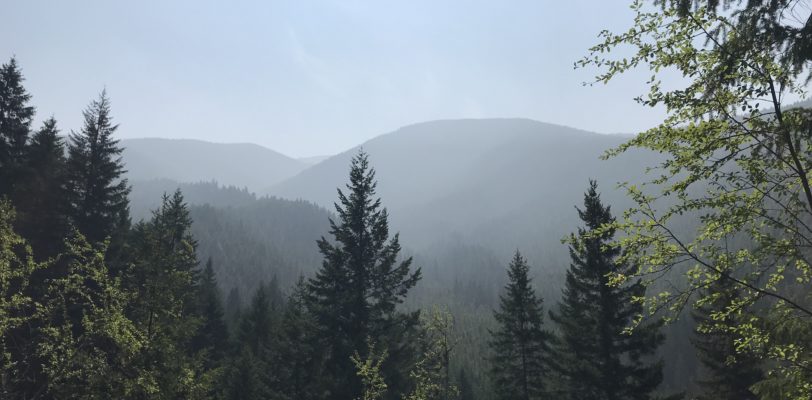
Taking our Time on the Rapid River Trail
Trailhead Coordinates: 45.352411, -116.398703 Elevation: 2200 ft Overall elevation gain is minimal within the first 4 miles, but the trail does rise a fall along the hillside quite a bit. … Read More
Address: 1786 Forest Rd, Winchester, ID 83555 Elevation: 3920 ft Gains: 40 ft (80 ft if side trails are used) Distance: 3.3 miles (+1.5 miles of side trail) Difficulty: Easy Best … Read More
A Sunny Start to 2019 It was a beautiful day for a hike. Sunny skies on a cool day, just warm enough to strip a layer while hiking but cool … Read More
2018 introduced me to snowshoeing with a solo hike on the Fish Creek trails in Grangeville. It also introduced me to new friends on a day hike up Rapid River … Read More
Apparently, 40% is betting odds for rain in the Lochsa. But there was nothing ominous about the clouds that sat low on the mountaintops and graced us with a light, … Read More
I could not have asked for a better final shift with Rites of Passage NW. It was a complete circle for me. At the end of my first week, I … Read More
Mel and I sat beside her tent, listening to the roar of the Grey Wolf River and talking about our work as wilderness therapy field guides. It had been a … Read More
Check out the full Coolwater Mountain Photo Album here! Fire smoke hung densely in the air as the four of us wound our way up Coolwater Road towards it’s junction … Read More
Nate handed me the keys to the 15-passenger van. “You’re comfortable with one these, right?” He asked. “This new one drives like a car, just give yourself some extra stopping … Read More