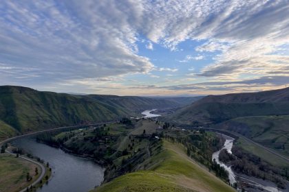

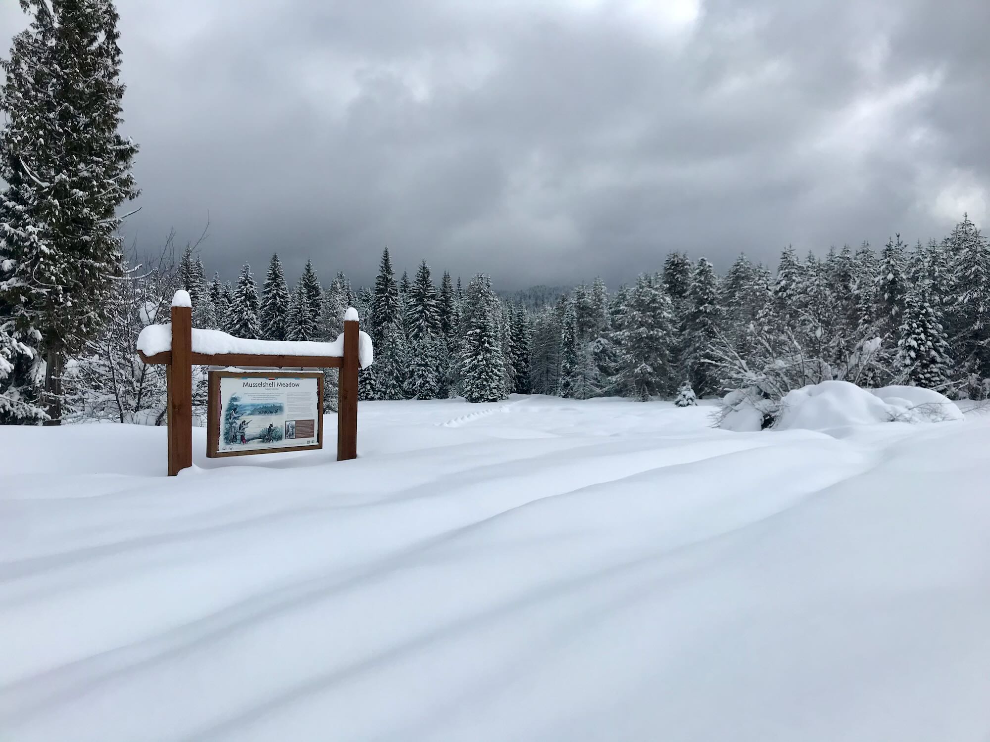


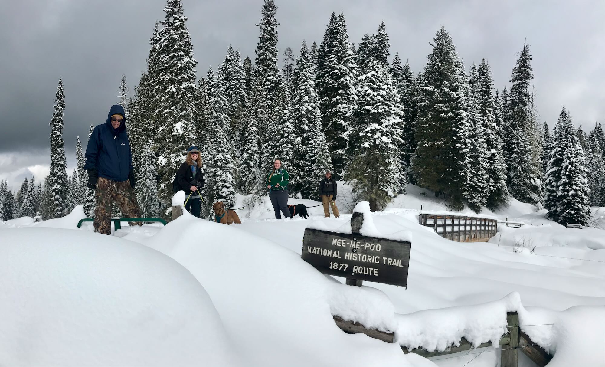
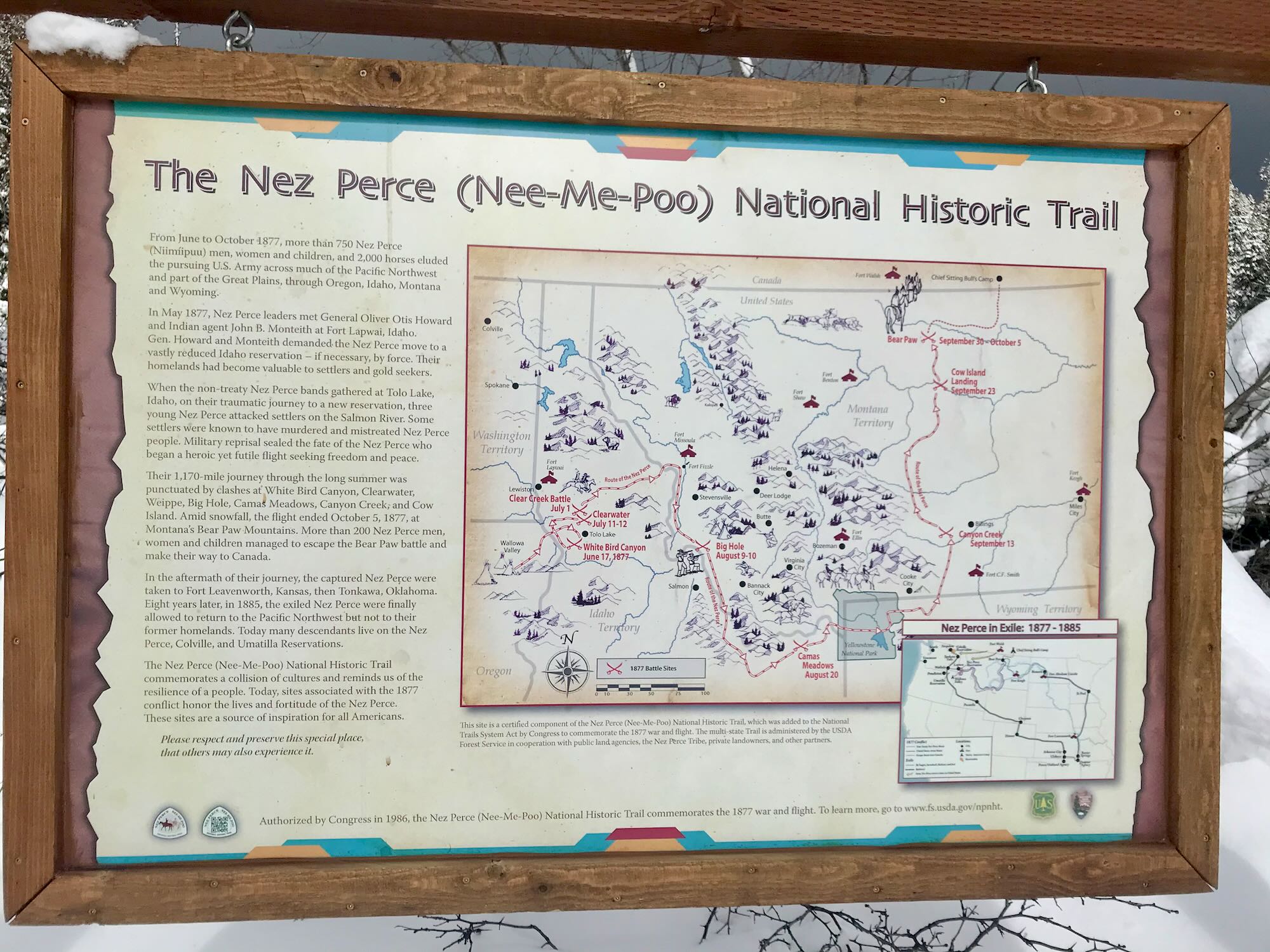


Musselshell Meadows was a refuge for several hundred Nez Perce fleeing the US Military through Idaho, Wyoming, and Montana in a desperate attempt to reach Canada. Their trail is commemorated as the Nez Perce (Nimíipuu) National Historic Trail, and many of our most scenic trails in the Nez Perce-Clearwater National Forest follow in their footsteps.

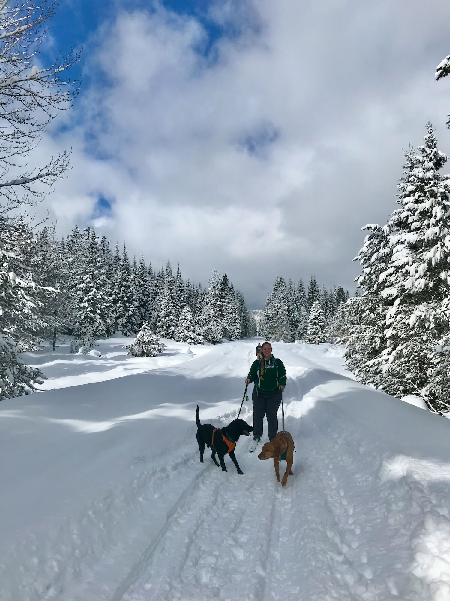
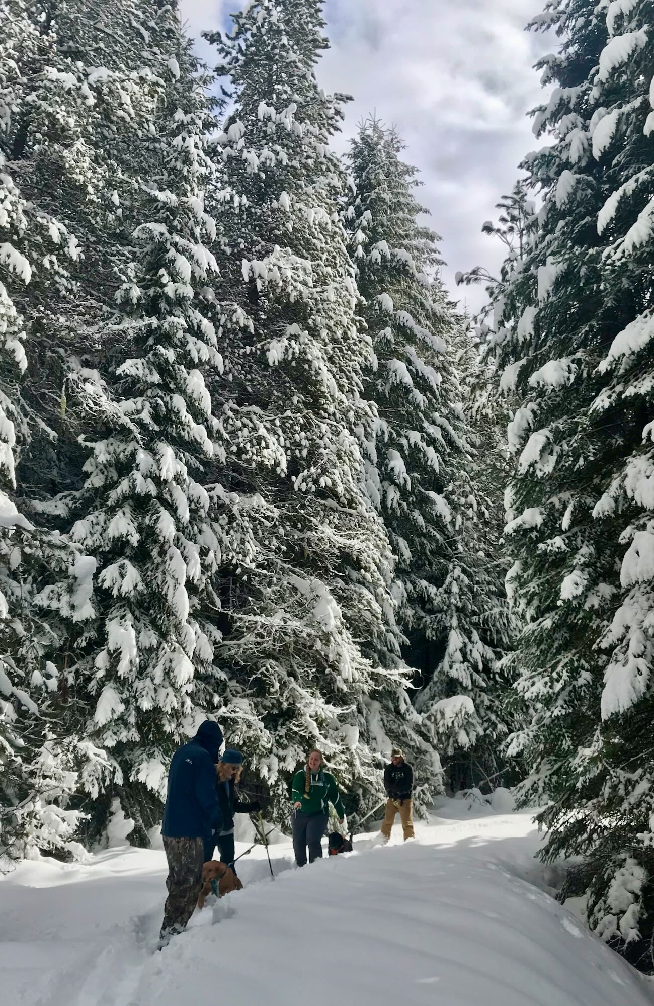
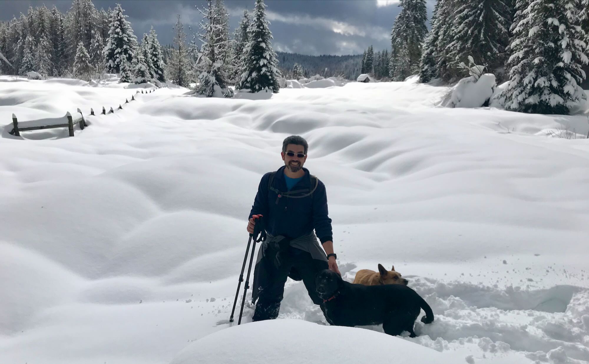
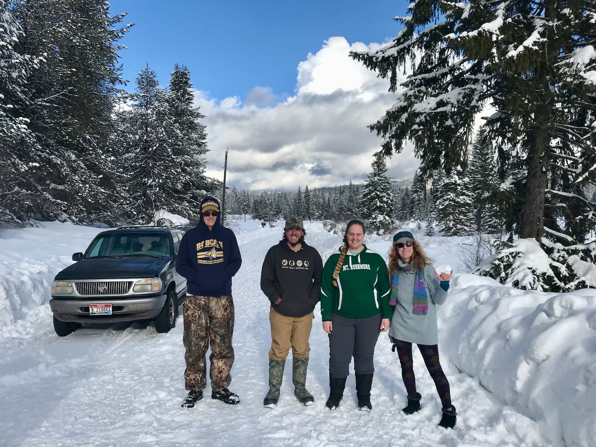
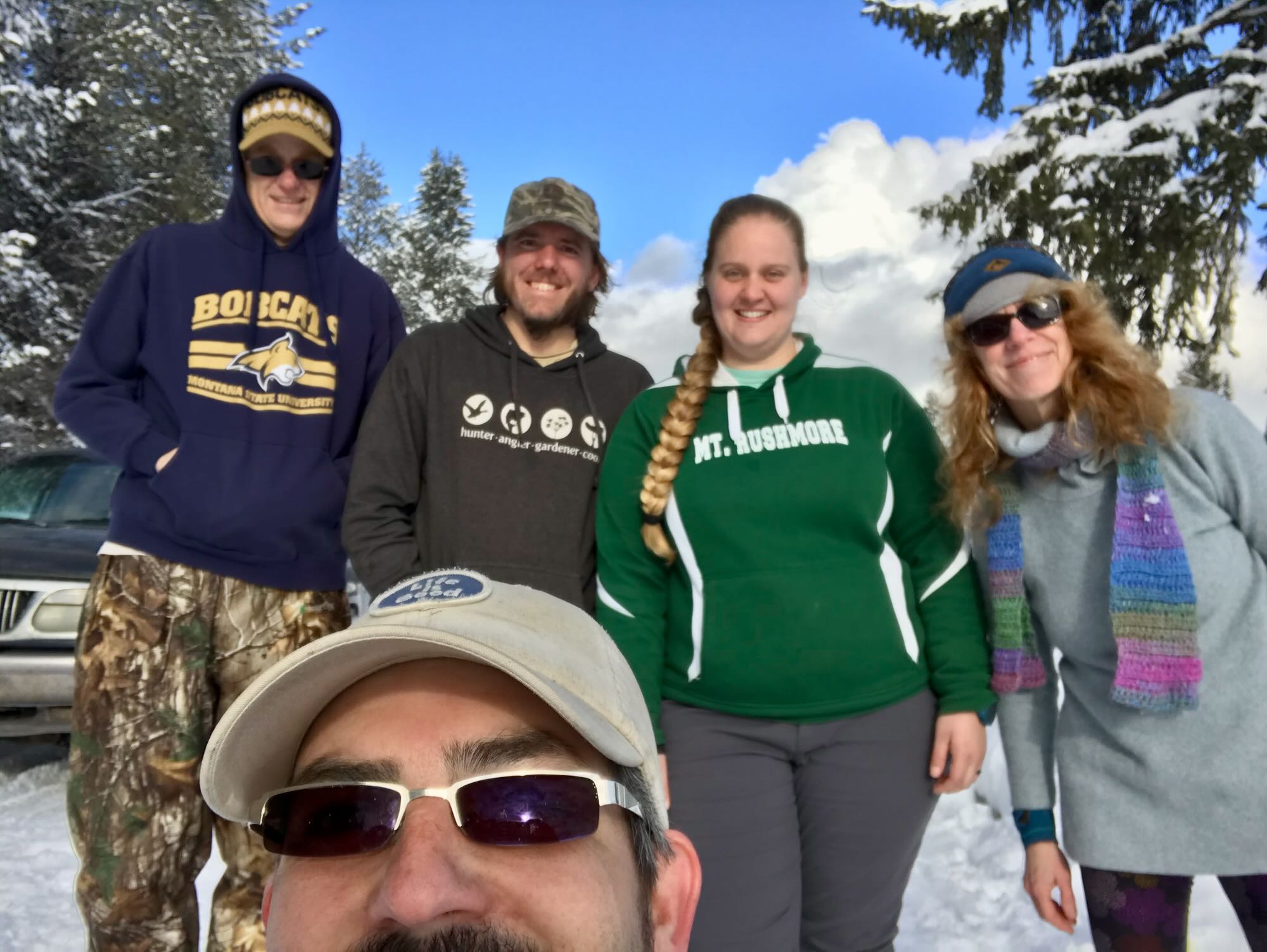
On Saturday, February 27th, The Clearwater Trekkers visited this historic site in much more amicable, although colder, conditions. This was the first time we had visited Musselshell Meadows as a group, and the first time we’d gone snowshoeing as a group, too. We could not have asked for much better conditions, except maybe for some groomed roads on the way out.
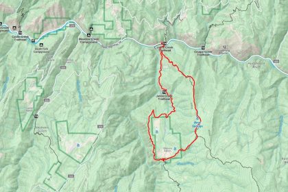
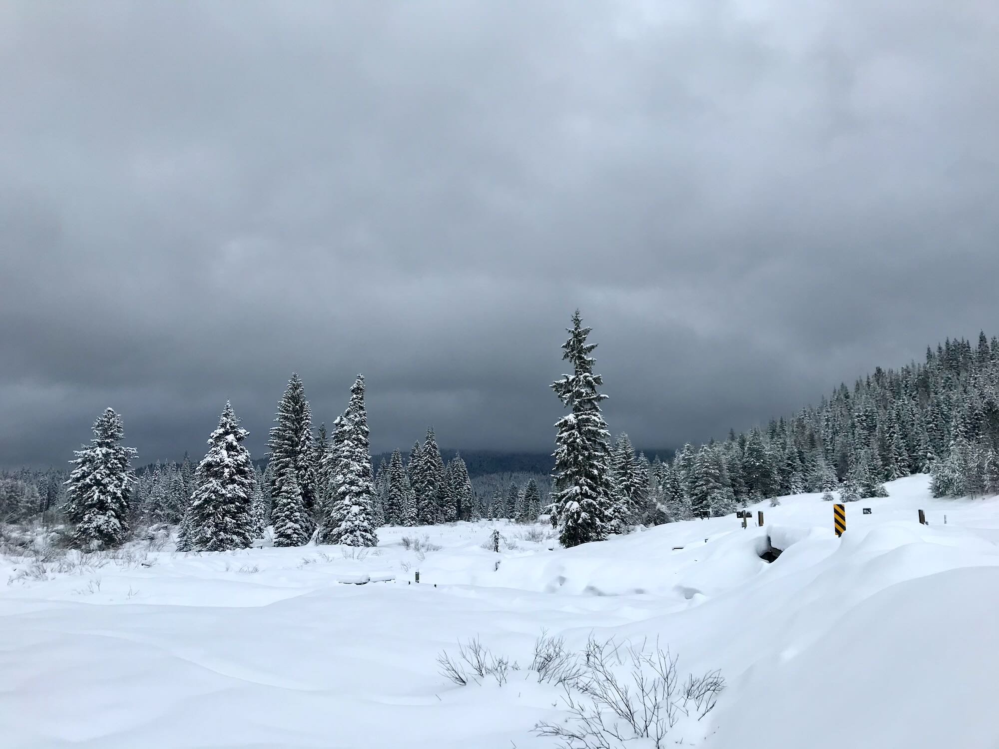
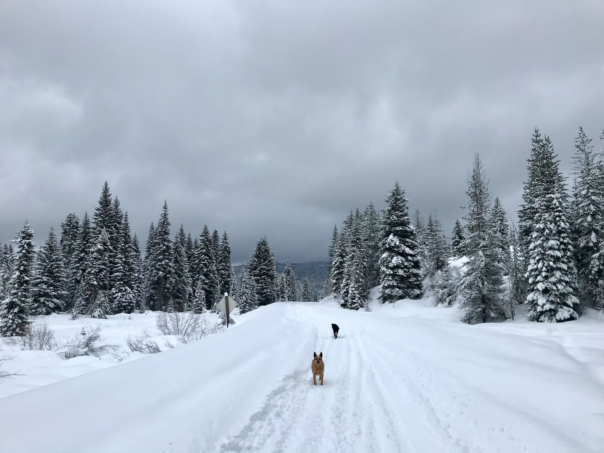
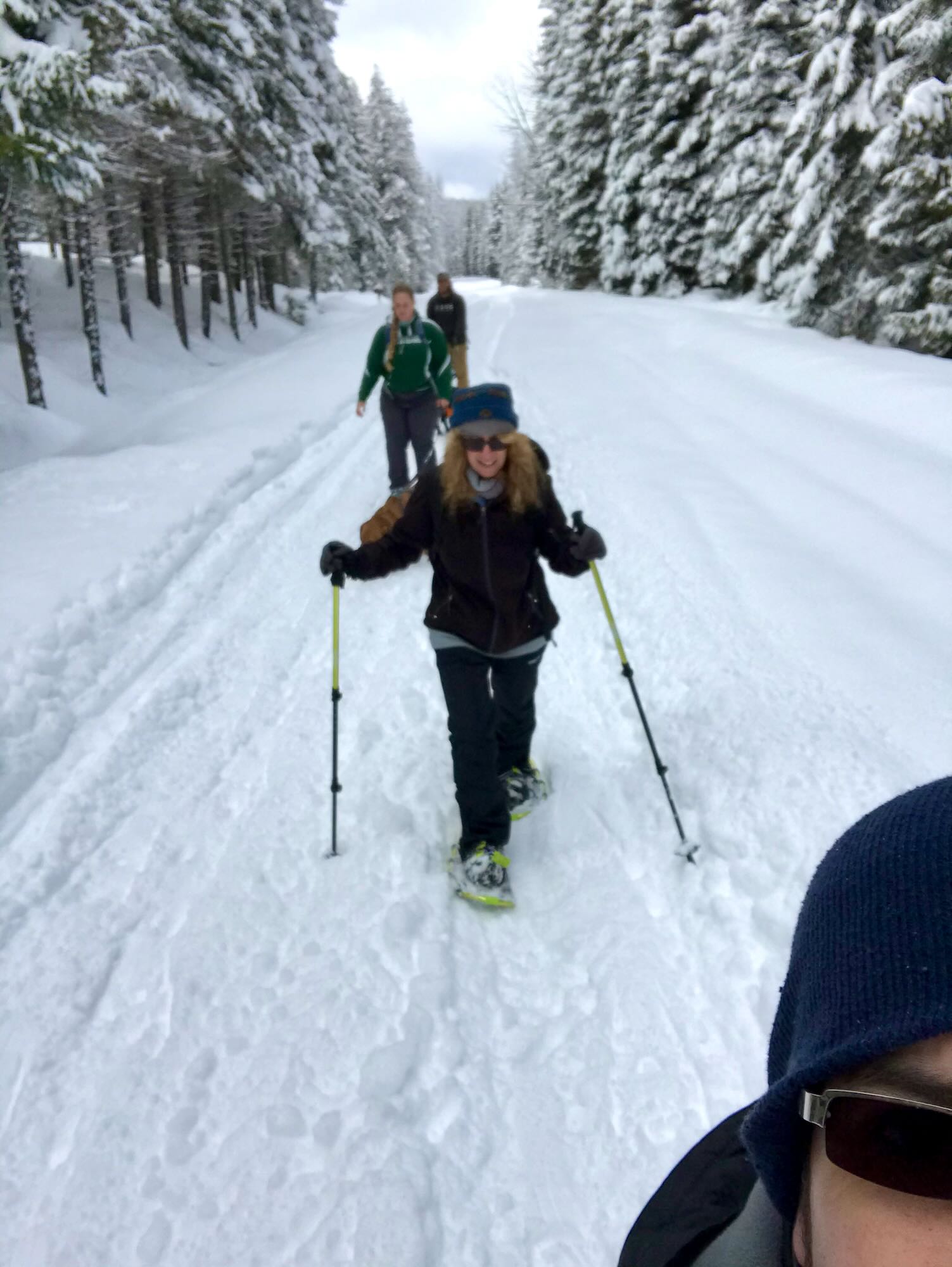
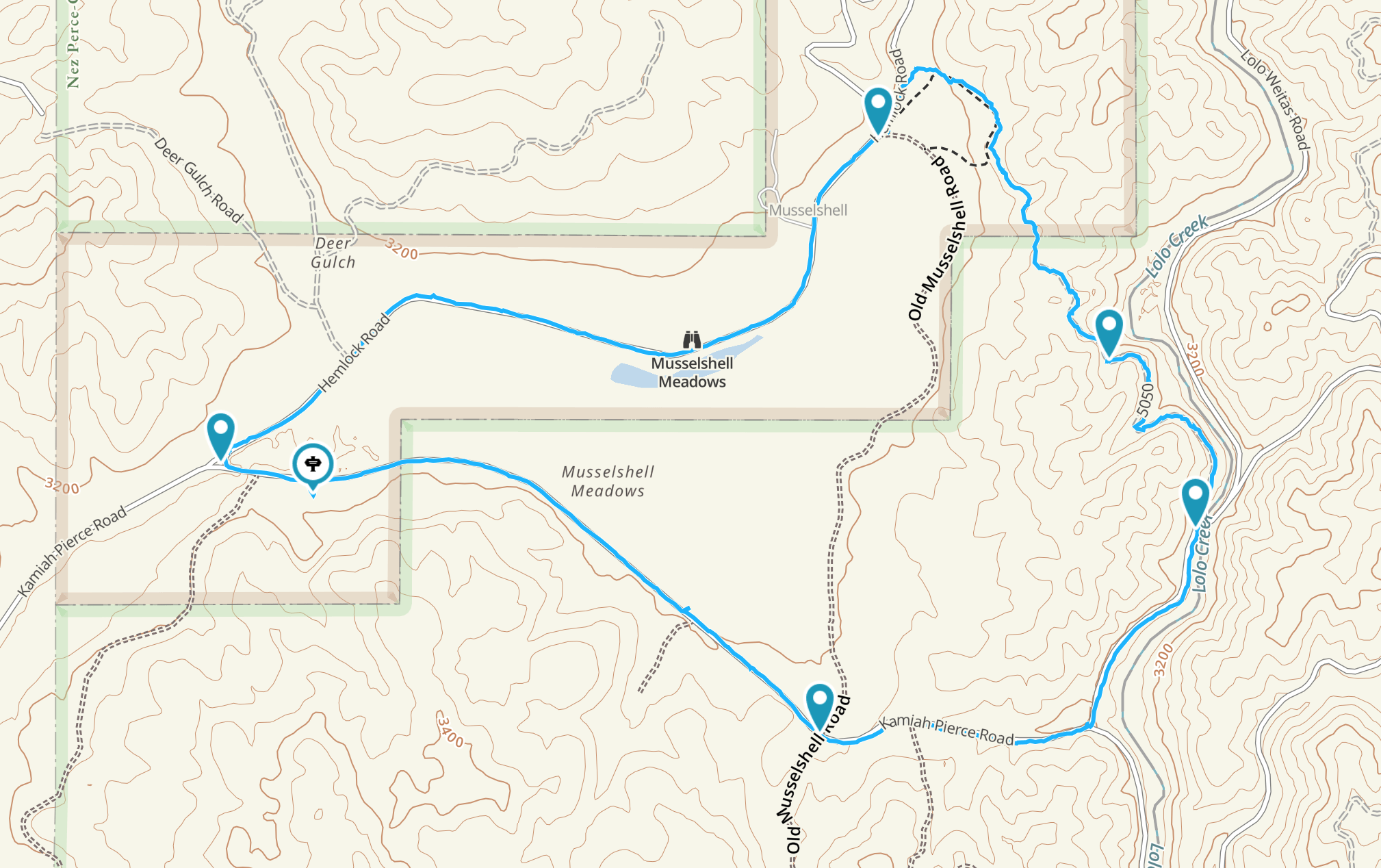
Ignoring the severe weather warnings (it was supposed to be clear by mid-day anyway), we met up at the Orofino City Park and caravanned to the trailhead. We made it to Musselshell Meadows without any problems, arriving under a sky full of heavy, dark clouds. Undeterred, we set out along Road 100, following some snowmobile tracks that had cleared the way.
The intersection where we parked is right next to a rock pit that marks the north end of a network of ATV tracks that run through the trees and hills beside the Meadows. They might be worth exploring in the dry season, but since they are not groomed in the winter, they would make for some hard snowshoeing. We opted to stick to the road for now.
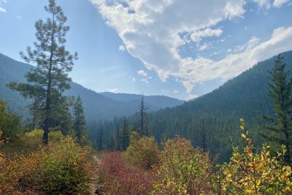
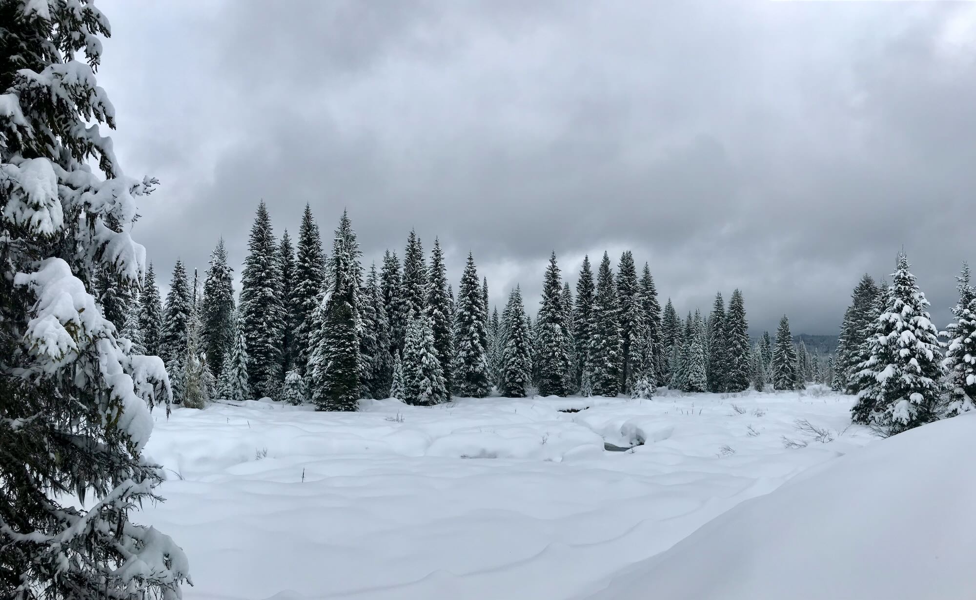
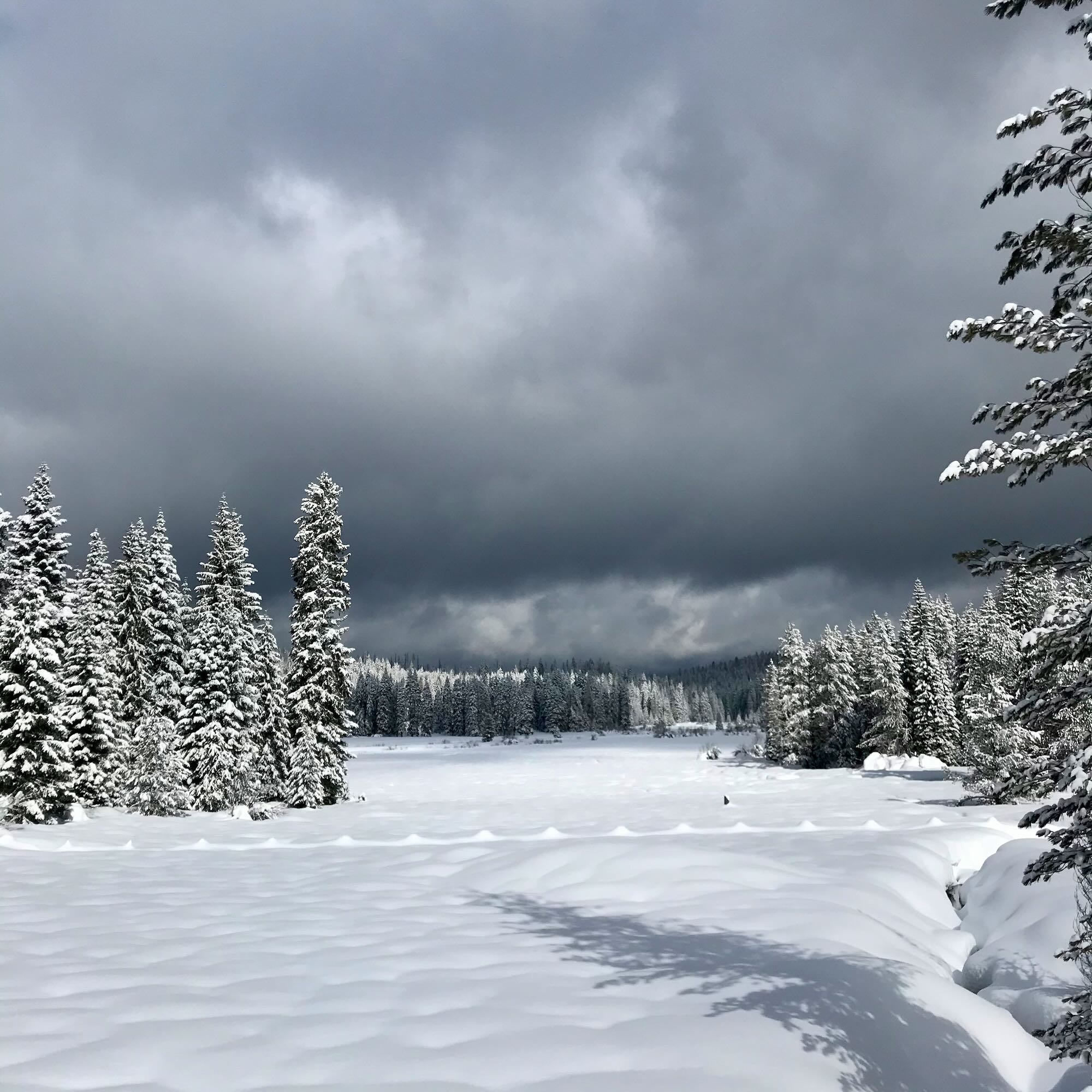
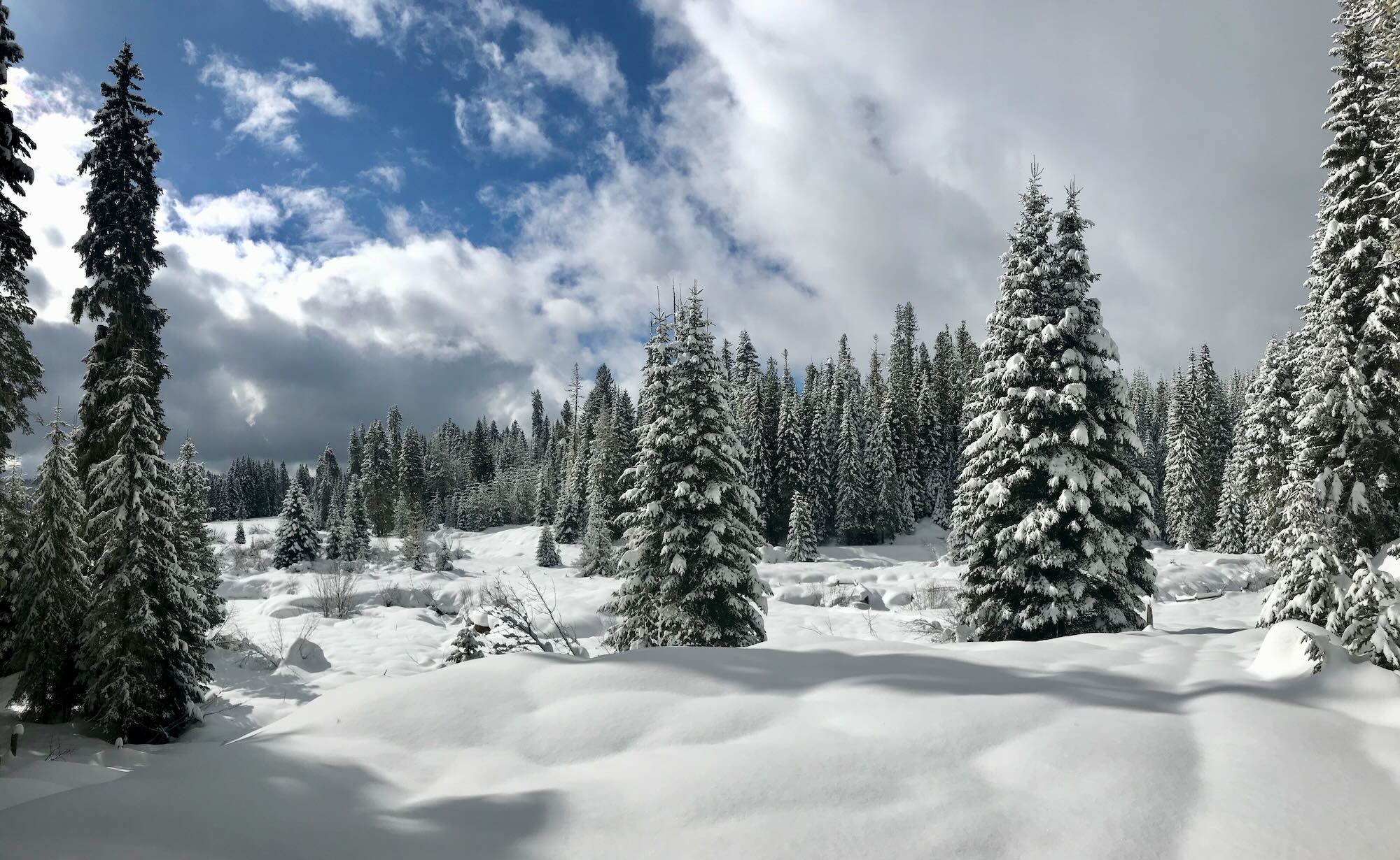
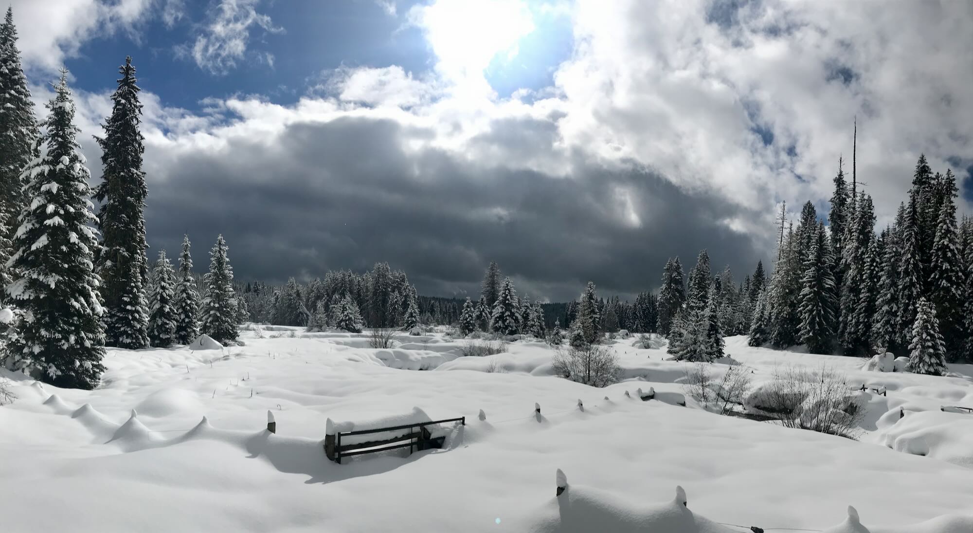
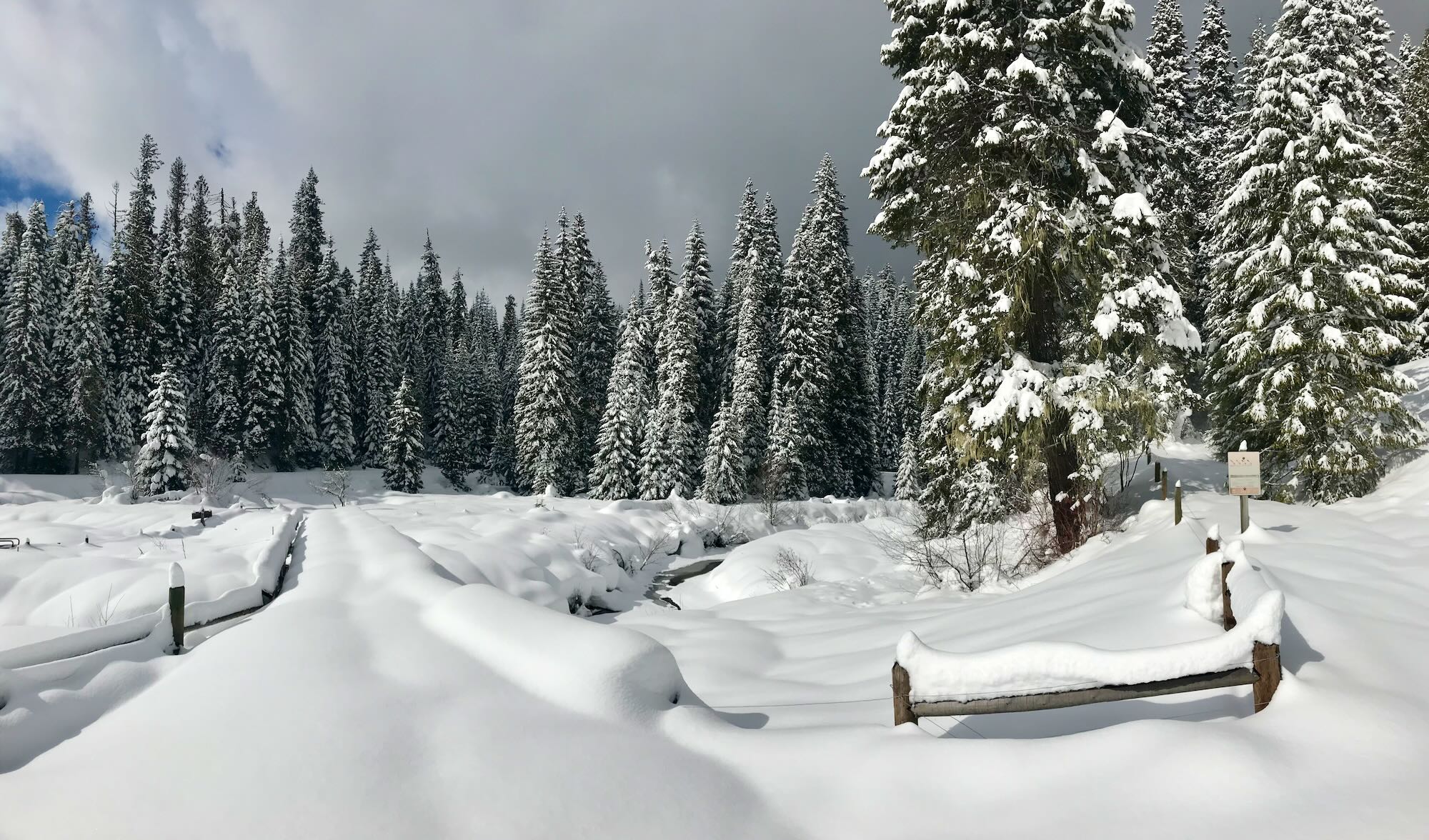
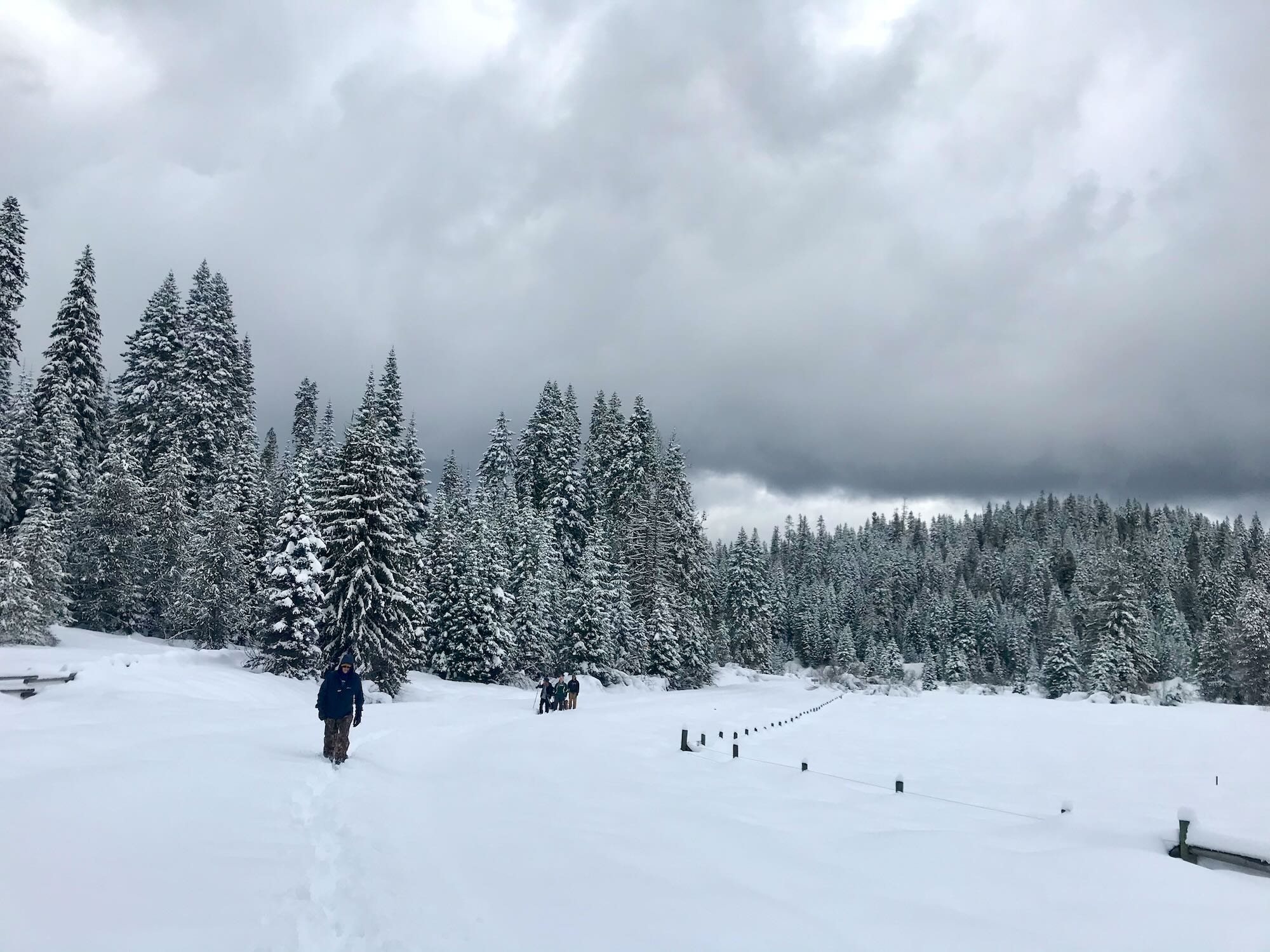
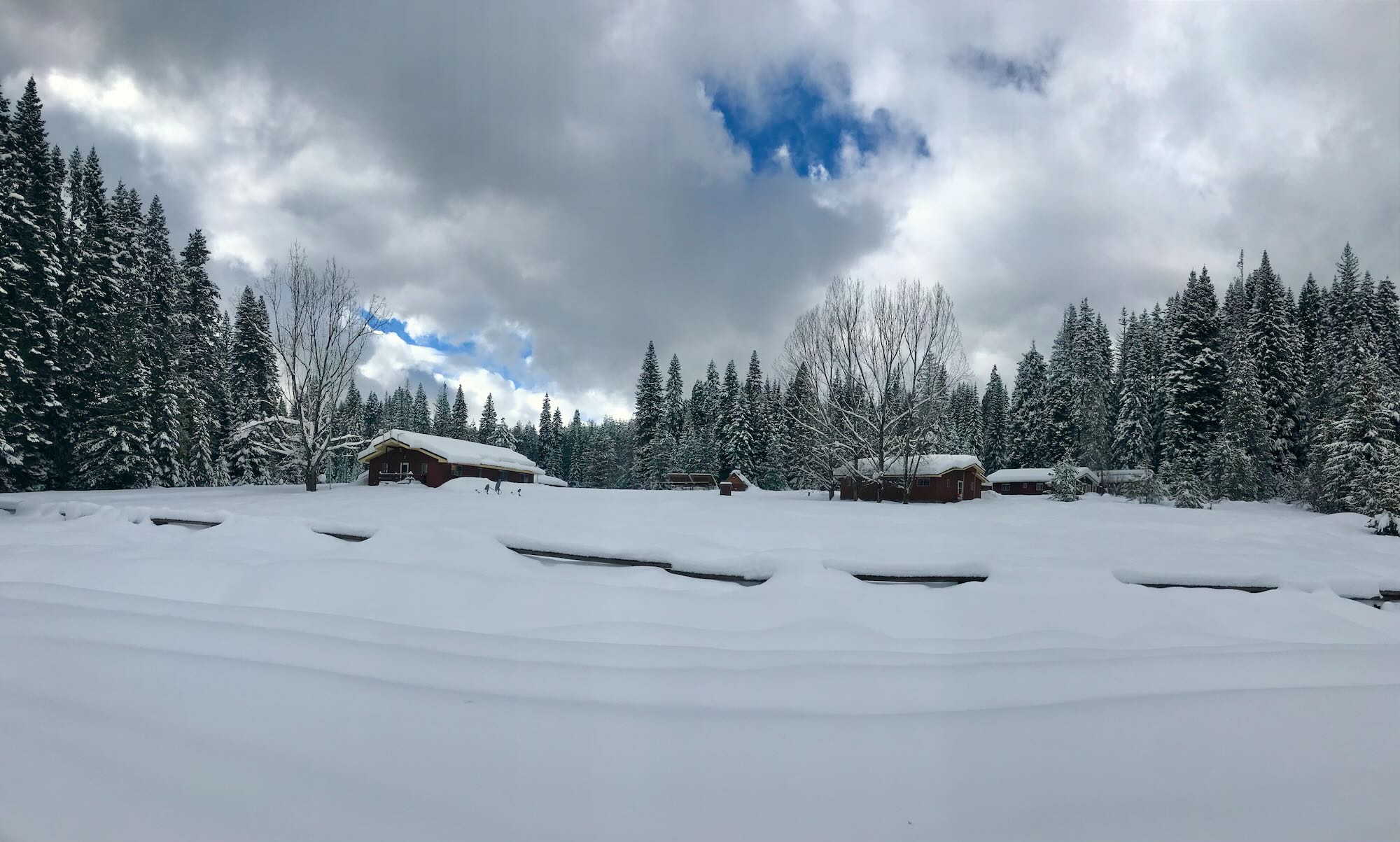
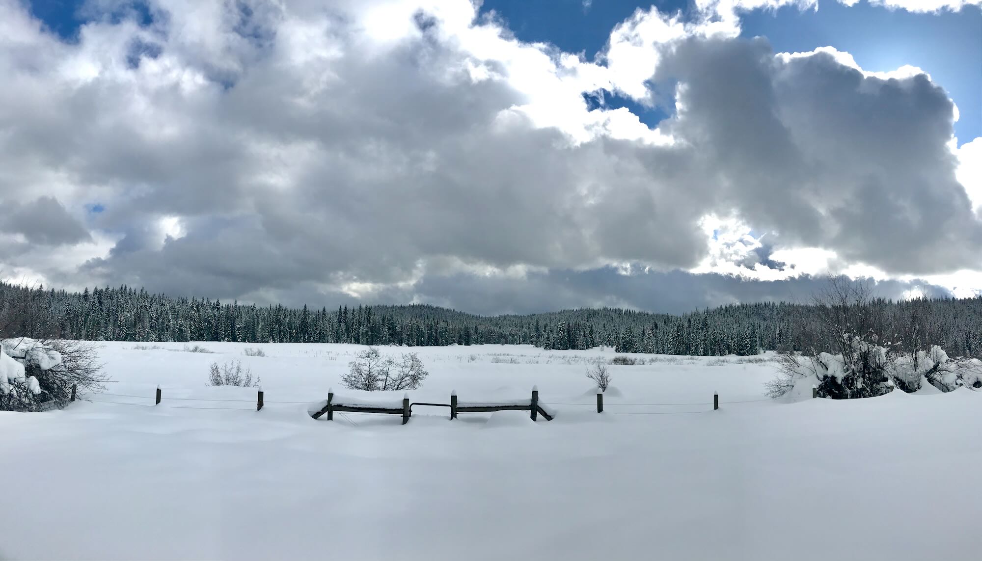
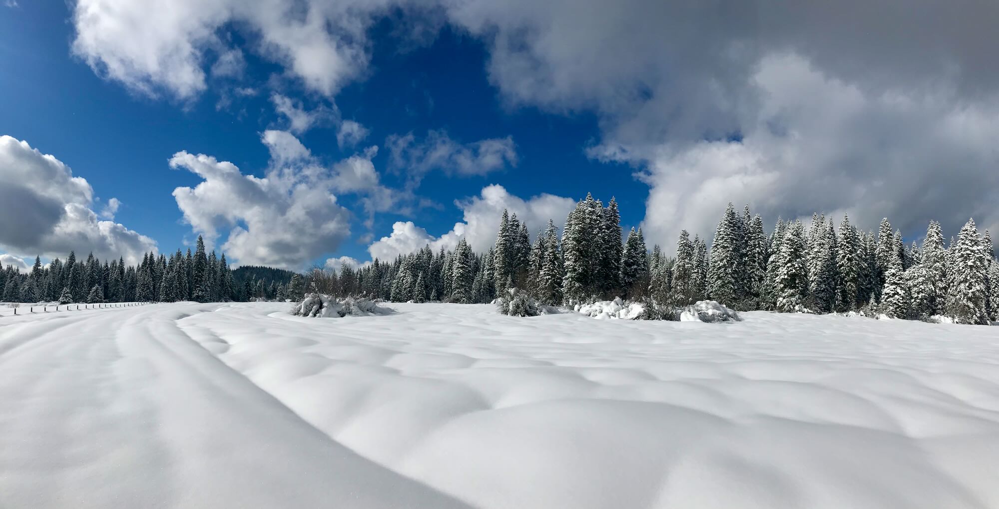
Road 100 runs along the south side of the Meadows, offering wide views of the snow-laden fields. Pristine snow lay like fondant, as one Trekker put it, on the whole world before us, burying fences up to the tops of their posts.

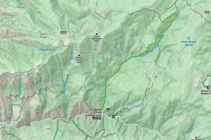
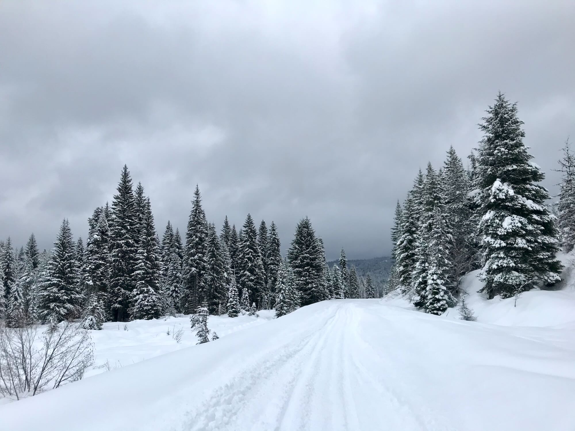
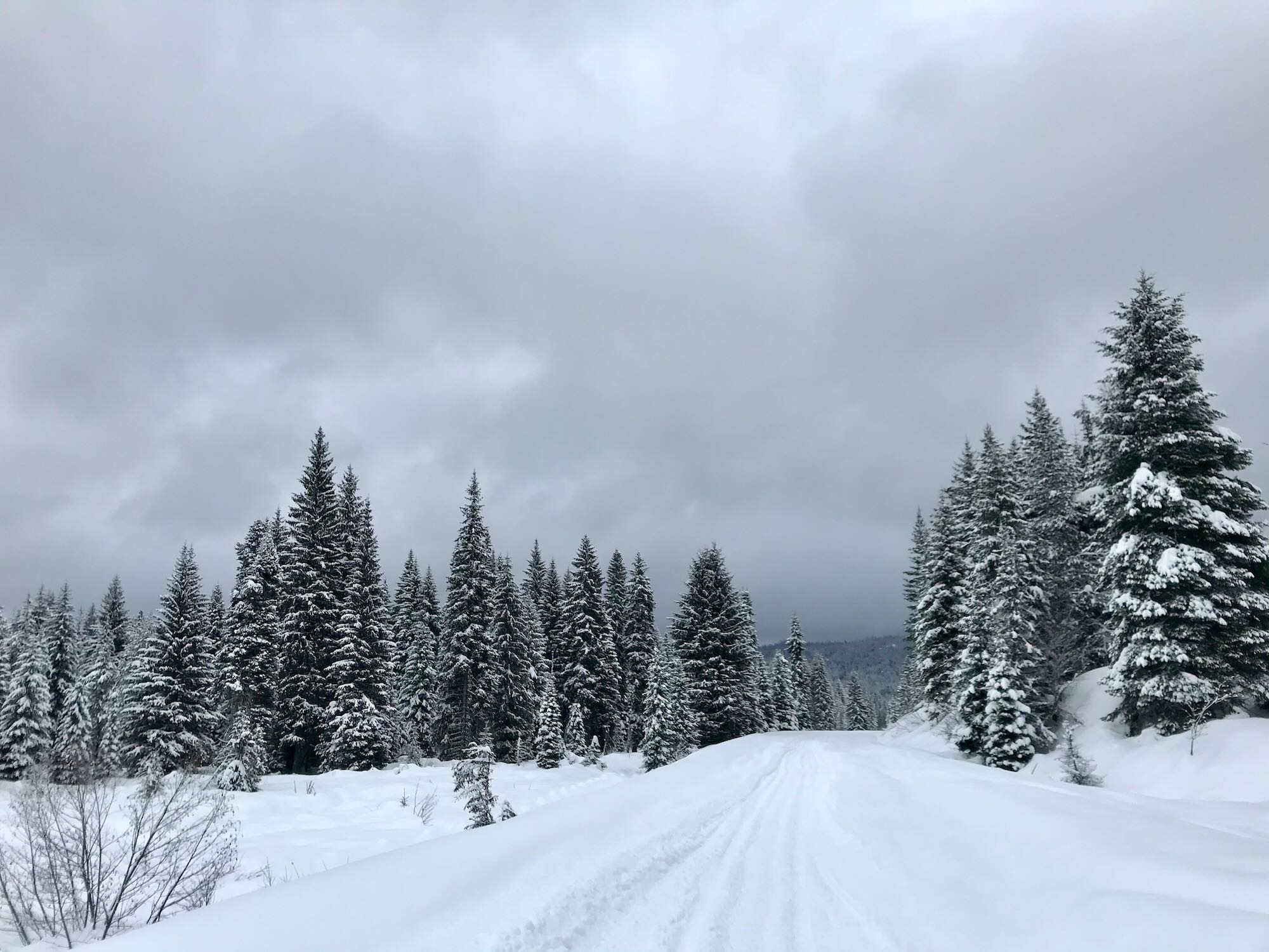
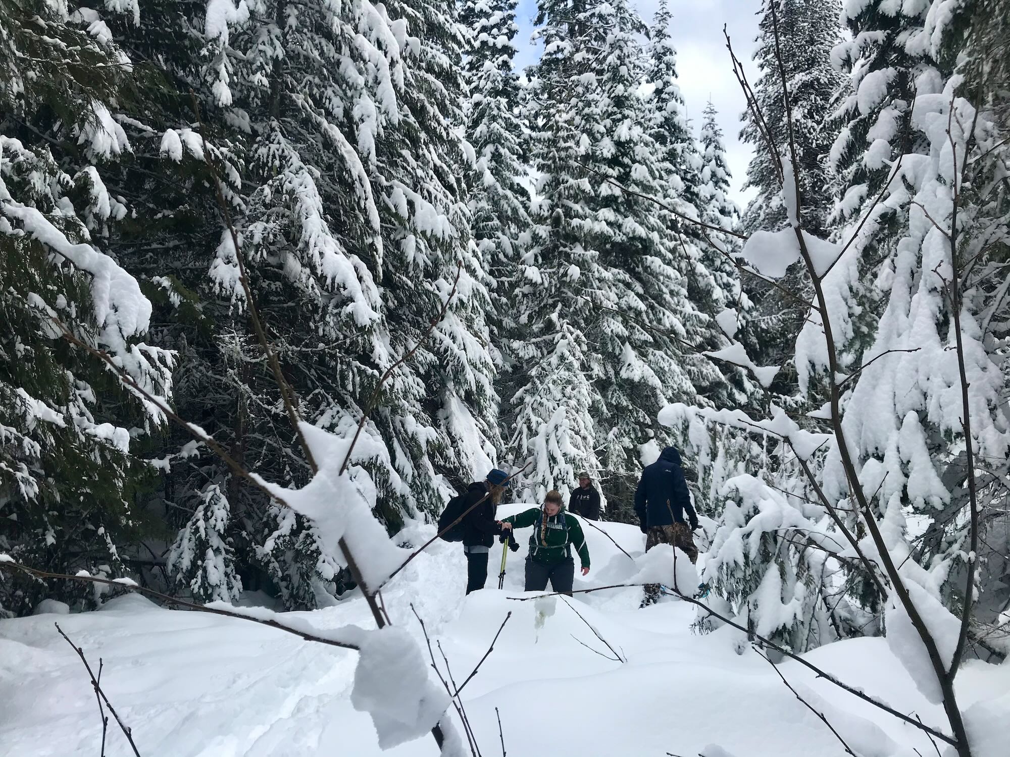
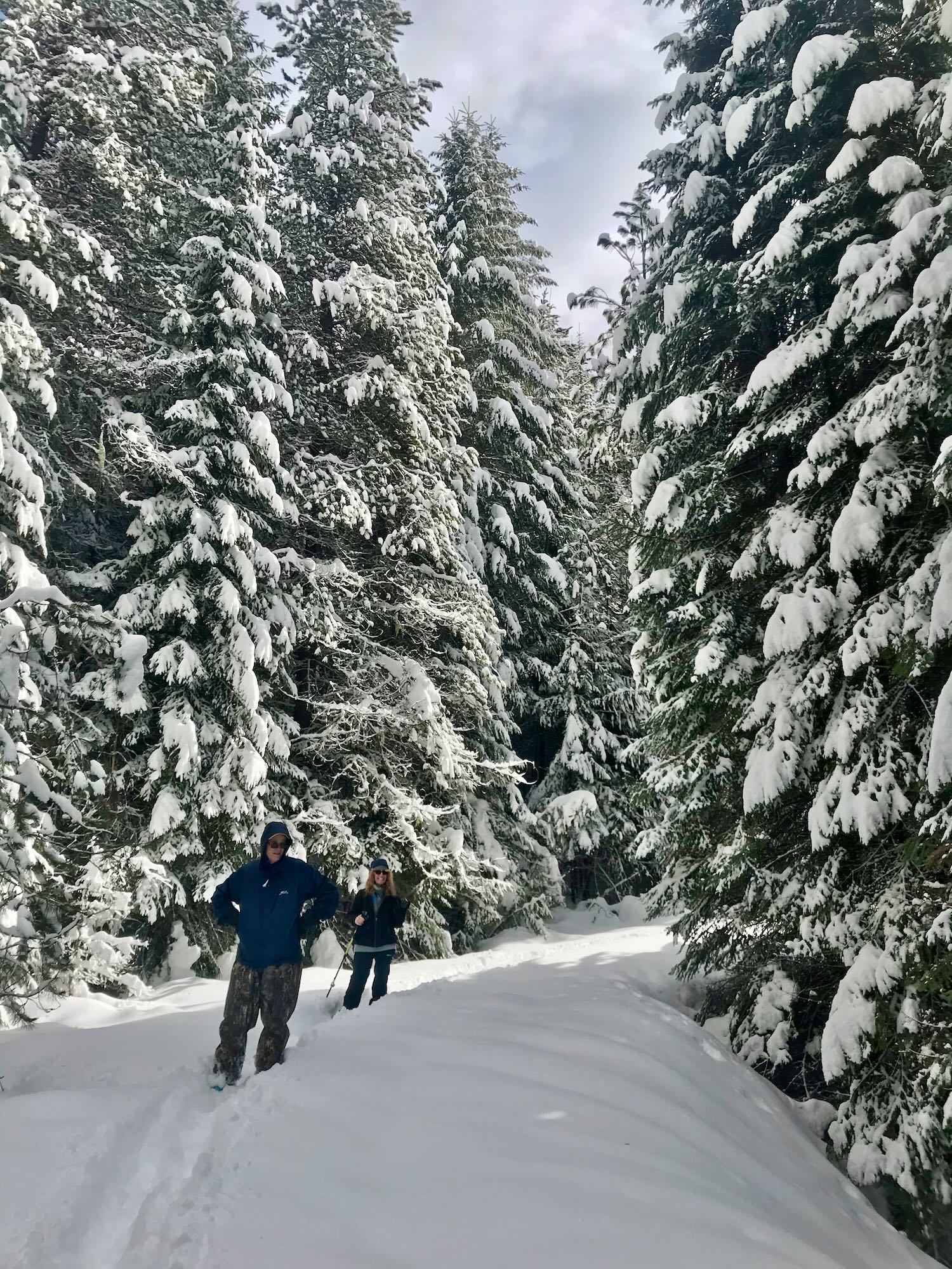
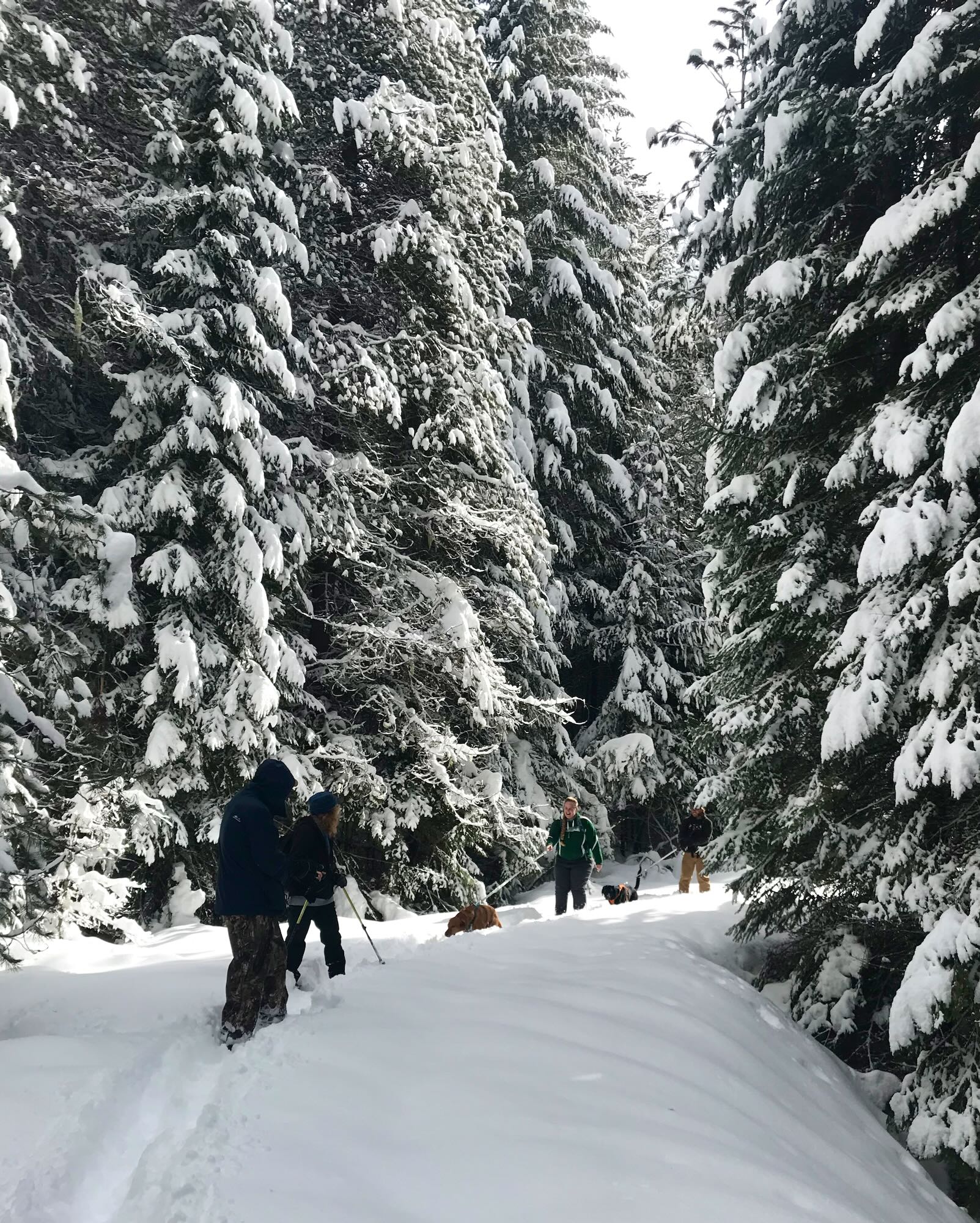
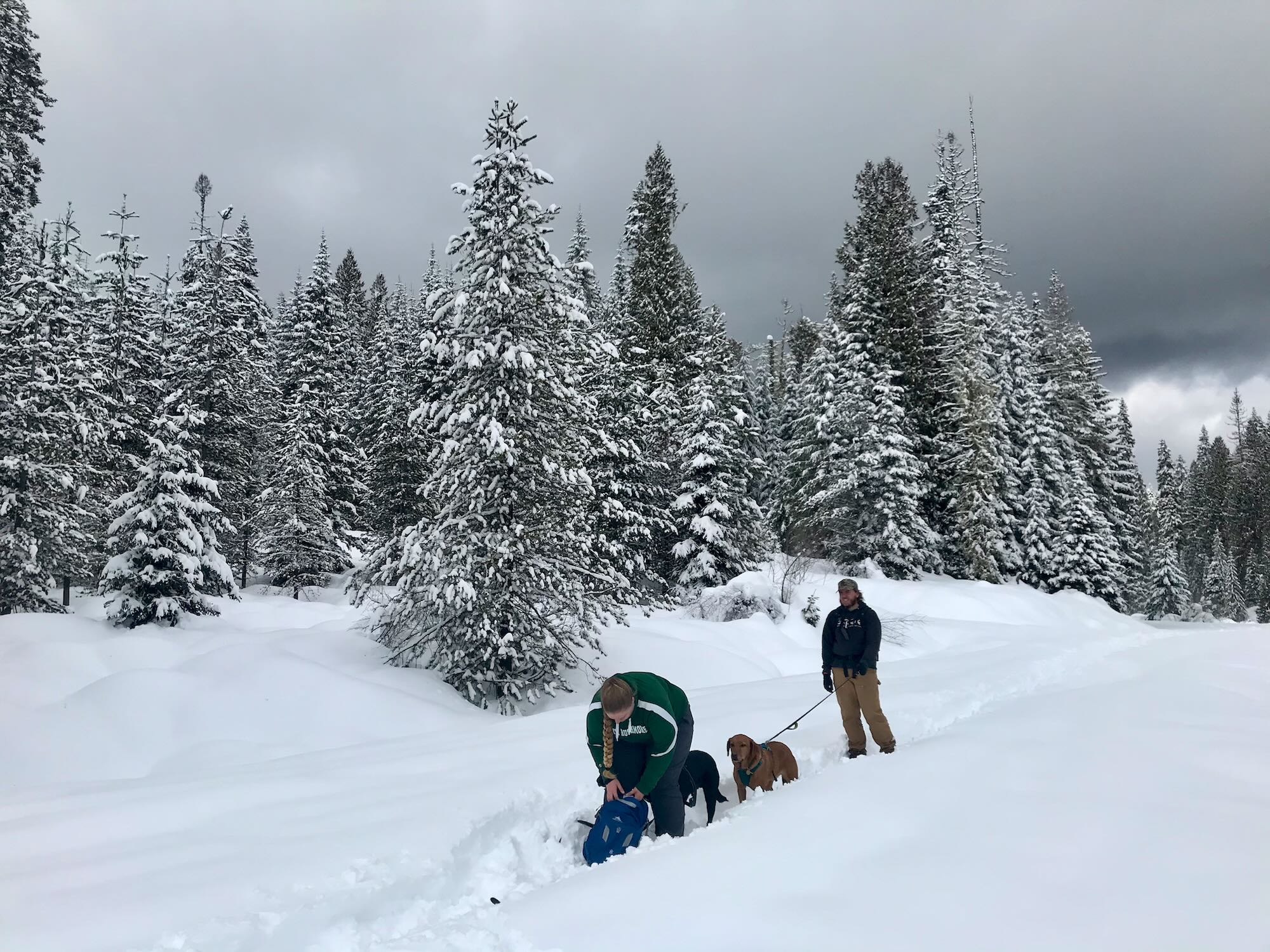
Eventually, Road 100 connects to Road 103, which we followed northward for a short ways before breaking off onto another trail into the trees. Gaia Maps marks this trail as Old Road 5050, but there was no sign on the road side. We just recognized it from the maps. The snowshoers in our group broke trail for the cross-country skiers, and we set off climbing into the trees.
The trail took us up and over a ridge that runs along the east side of the Meadows. At one point we encountered a Y in the trail and guessed at going left since that was in keeping with returning to the Meadows. We guessed correctly. The trail to the right would have taken us back down to Road 103.
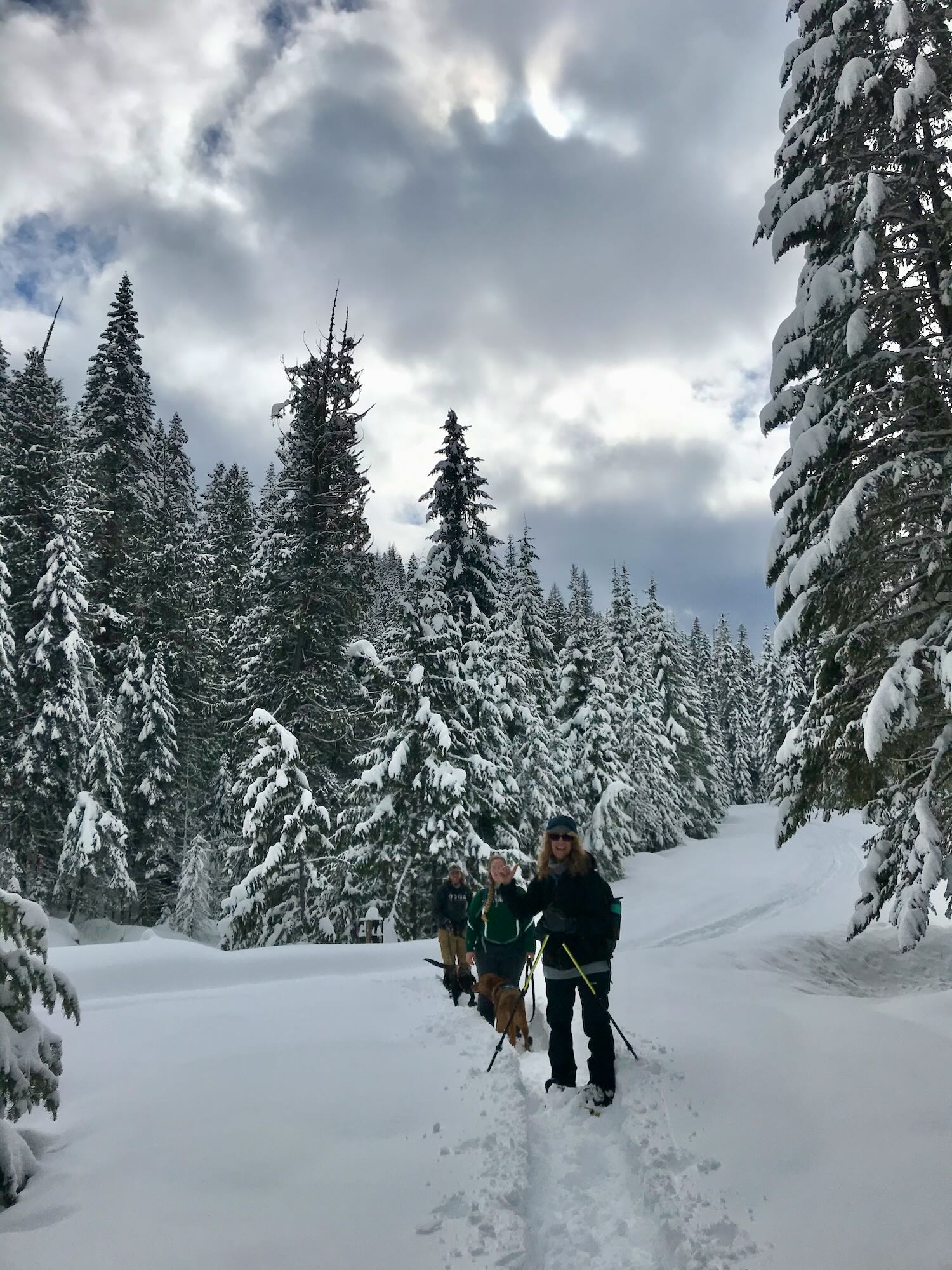
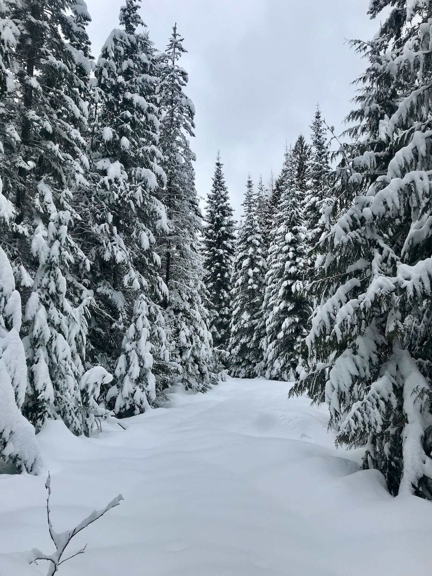
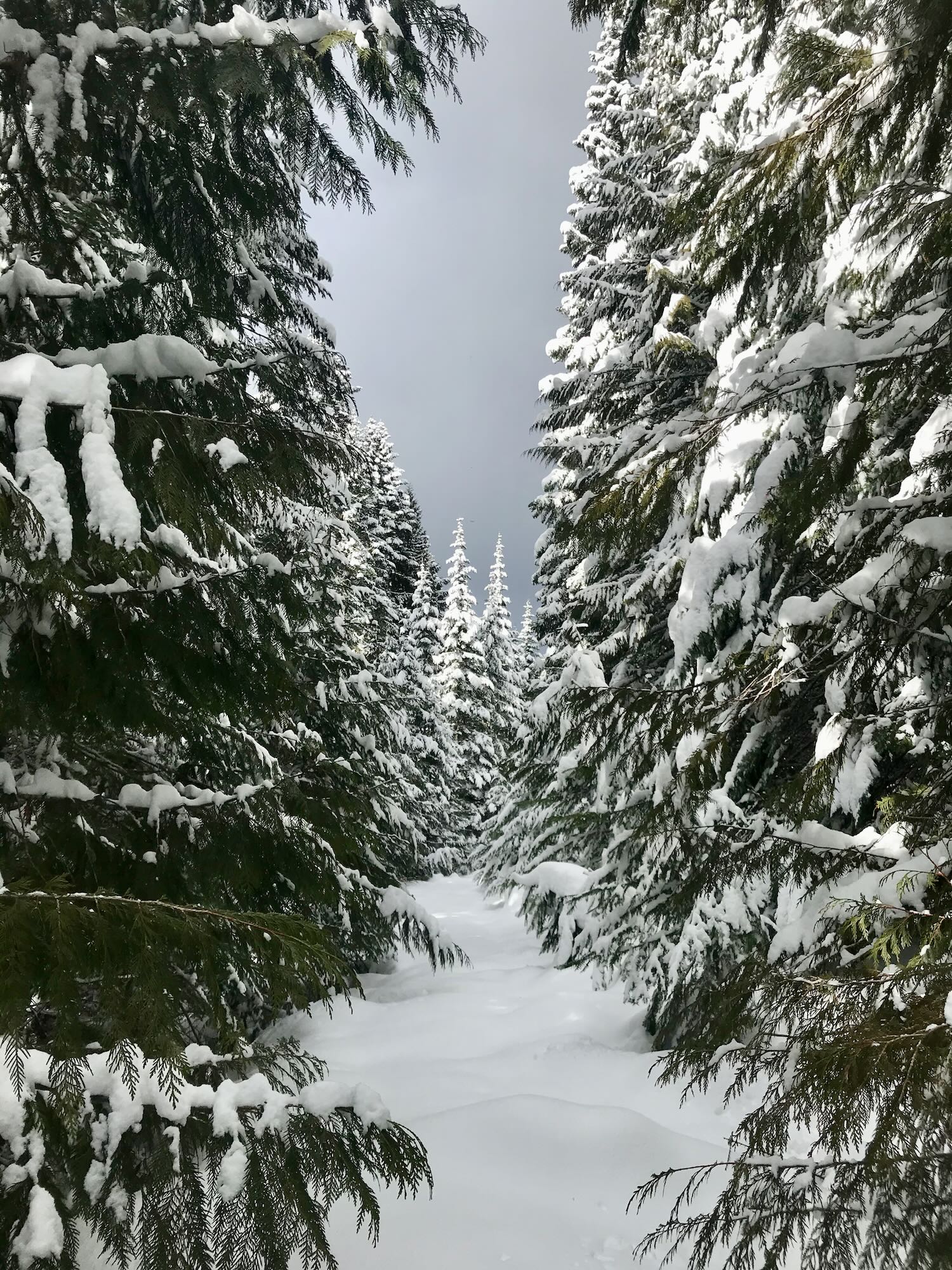
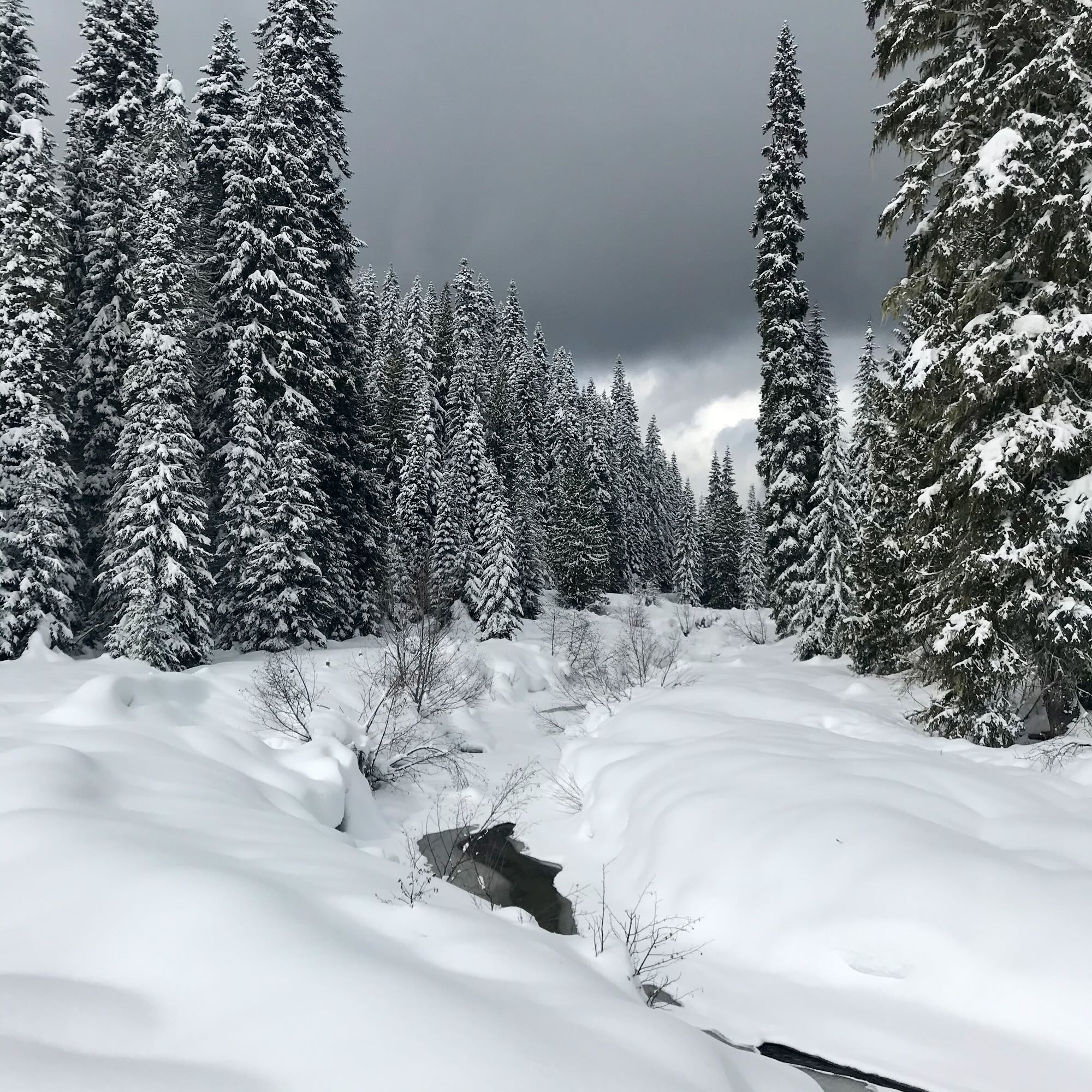
The trail narrowed between the trees, drawing us into a majestic cathedral of towering, snow-laden fir trees. Crystalline snow would gust from the tree tops in the breeze, shimmering in the sunlight peeking through the clouds as it drifted away like smoke.
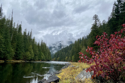
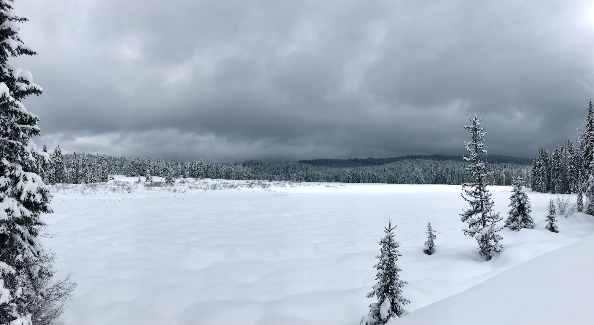
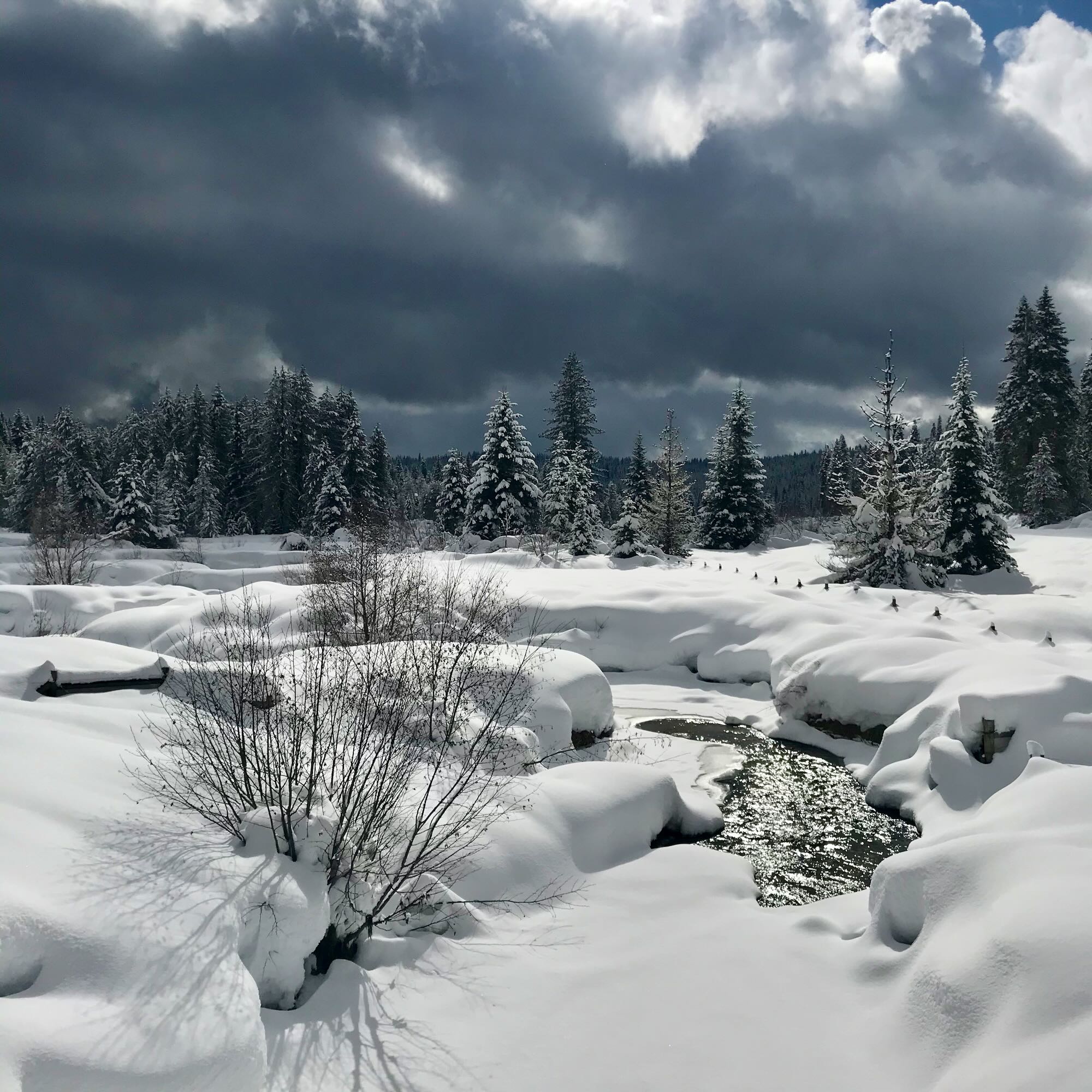
When we eventually made our way down and out of the trees, we were met with a stunning view of the Meadows from the north. Musselshell Creek meandered beneath a wooden bridge entirely covered in snow and cut its way across the Meadows. Fence posts capped with snow cones lined the trail, and fir trees with their winter coats on stood around gazing at the splendor. The whole scene was lit up by sunlight pouring from pockets of blue sky amidst the rolling black clouds.
iPhone pictures just don’t it justice.

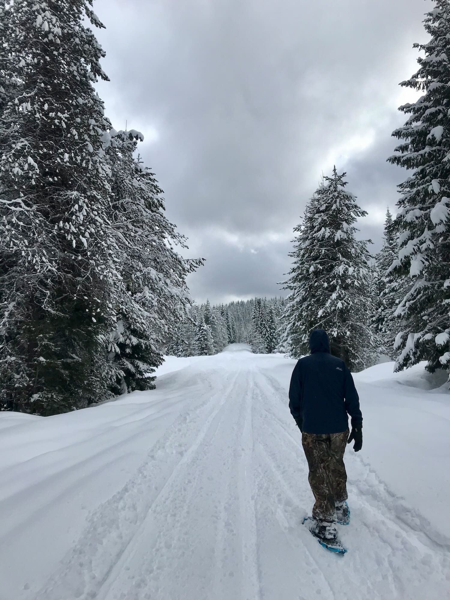
Then began the long slog back to the cars. Road 535, which borders the northwest side of the Meadows, was covered in deep snow and made for some slow going. We were feeling pretty worn out by then, and there’s just something about the monotony of a long, straight road that makes the going a little harder. But we pressed on valiantly, stopping occasionally to read a sign or grab a snack, and at long last, we arrived back at the intersection where our adventure began.
Snowshoeing around Musselshell Meadows was not an easy hike, but the scenery, the fun company, and sense of accomplishment made the whole thing worthwhile. The Clearwater County Groomers (an entirely volunteer force) maintain the trails around the Meadows and has since groomed in the area. You can see which roads they have groomed by visiting their Facebook page. If you get a chance to go, I highly recommend taking a romp around Musselshell Meadows.
Do you have a favorite place to snowshoe? Let us know about it in the comments below, or join us on Facebook and take us there! Not on Facebook? We totally understand. We post upcoming events on our Calendar page and send them out in our Newsletter, too. You can sign up for our newsletter in the sidebar or at the bottom of the page. See you on the trail!
#SeektheClearwater