


I was prepared to hike alone. 2020 promised to dawn cold and rainy, so it was no surprise that our New Year’s Day hike on the Palouse Divide Nordic Ski Area wasn’t getting much response. But at the last minute, a new coworker, Jason, joined The Clearwater Trekkers and opted in on the hike. As the icy rain pelted my windshield in the dark morning, I wondered if he’d end up bailing out. I wouldn’t have blamed him.
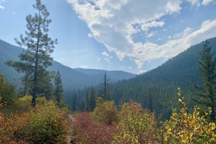
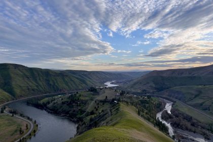
The drive from the Camas Prairie to the Palouse Divide was long and beautiful. One wonders why anyone would live in towns like Harvard or Emida, until you drive the rolling, tree-covered hills that surround them. It’s a peaceful kind of majesty in this neck of the woods.
I was thrilled to see Jason already there when I pulled up to the intersection of Highway 6 and Dennis Mountain Road. After a quick greeting, I went to check out the Palouse Divide Lodge. I drove through to find a lift up on the knoll and a sign out front of the lodge advertising lunch prices. I learned that, while access to the trails is free, the Lodge is a private venue with multiple lodging options.
Back at the highway parking area, Jason and I joked around about having paid for our Park N’ Ski passes only to find the parking area not plowed. It’s a good thing we brought snowshoes! In the end, we both agreed that we were grateful for the plowed roads that brought us here and we were happy to contribute to the maintenance of the trails.
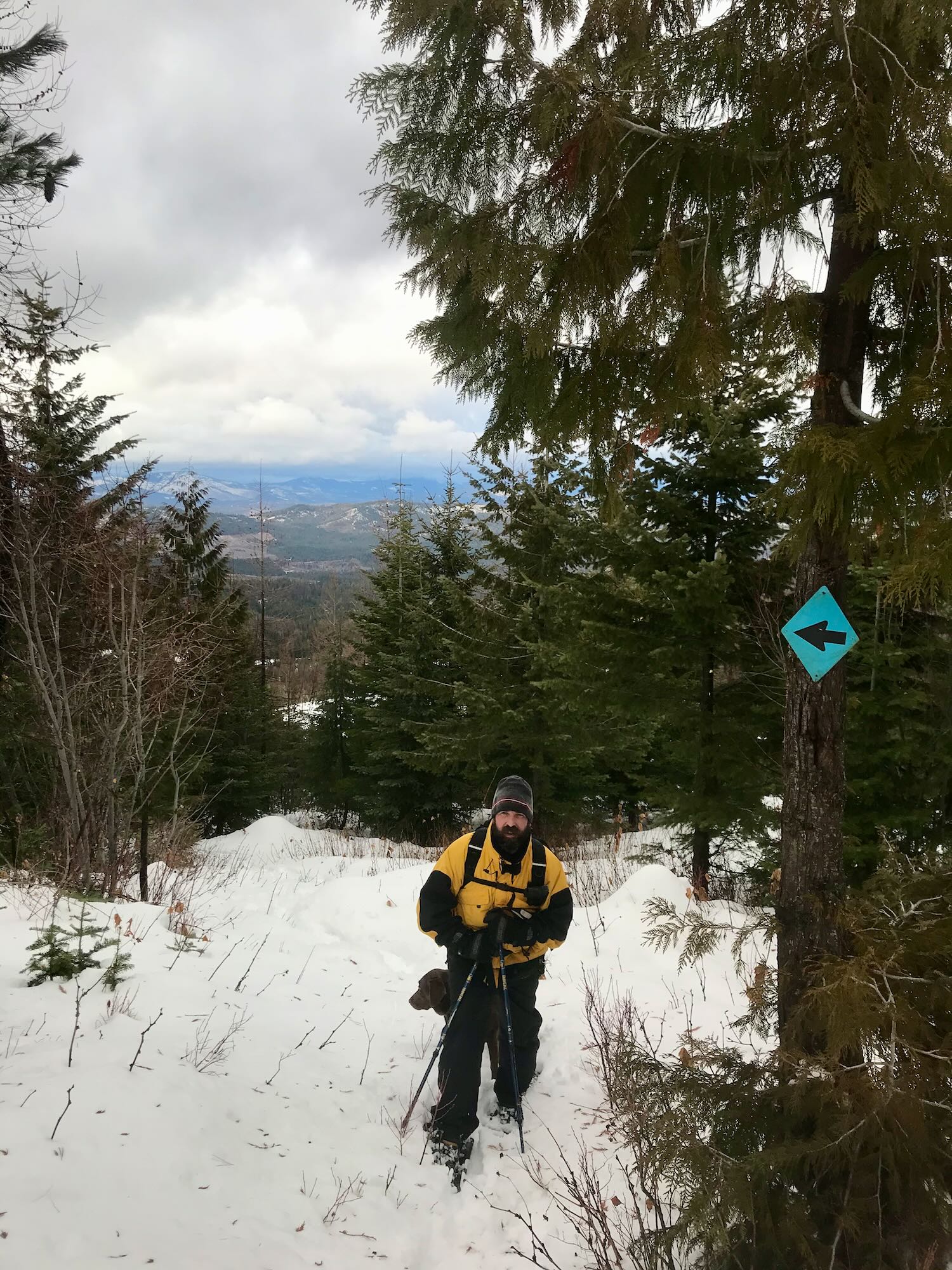
Finally, with maps on our phones and snowshoes on our feet, we set off.

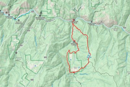
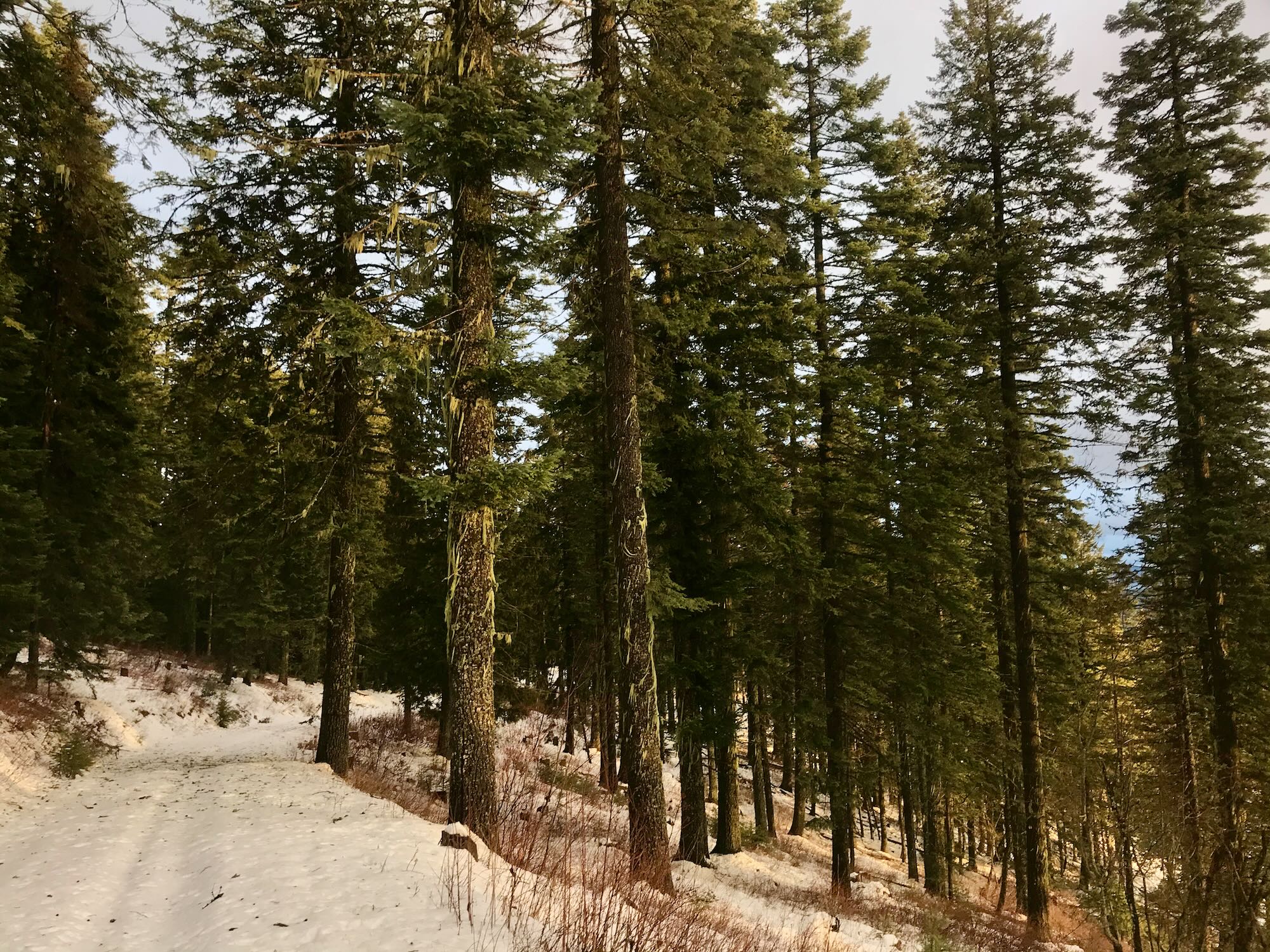
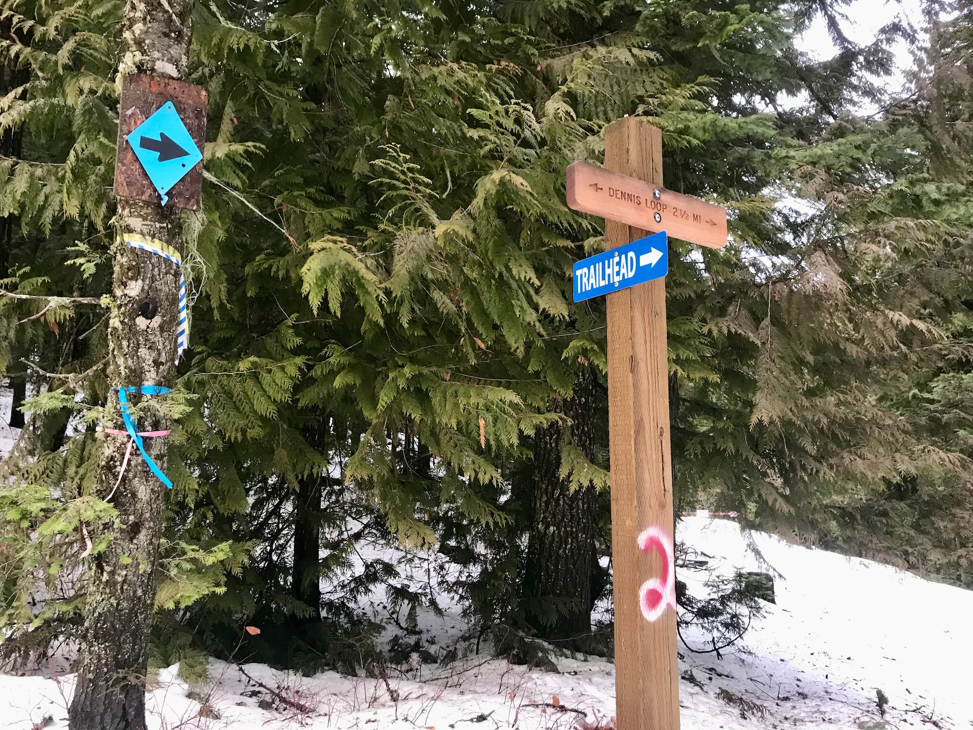
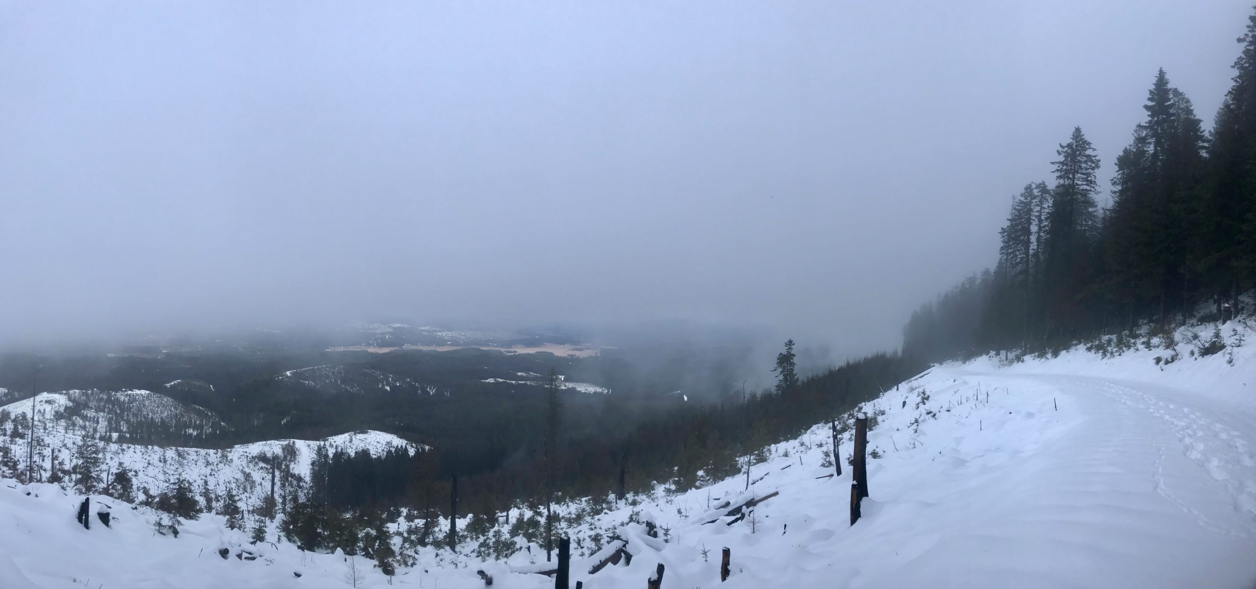
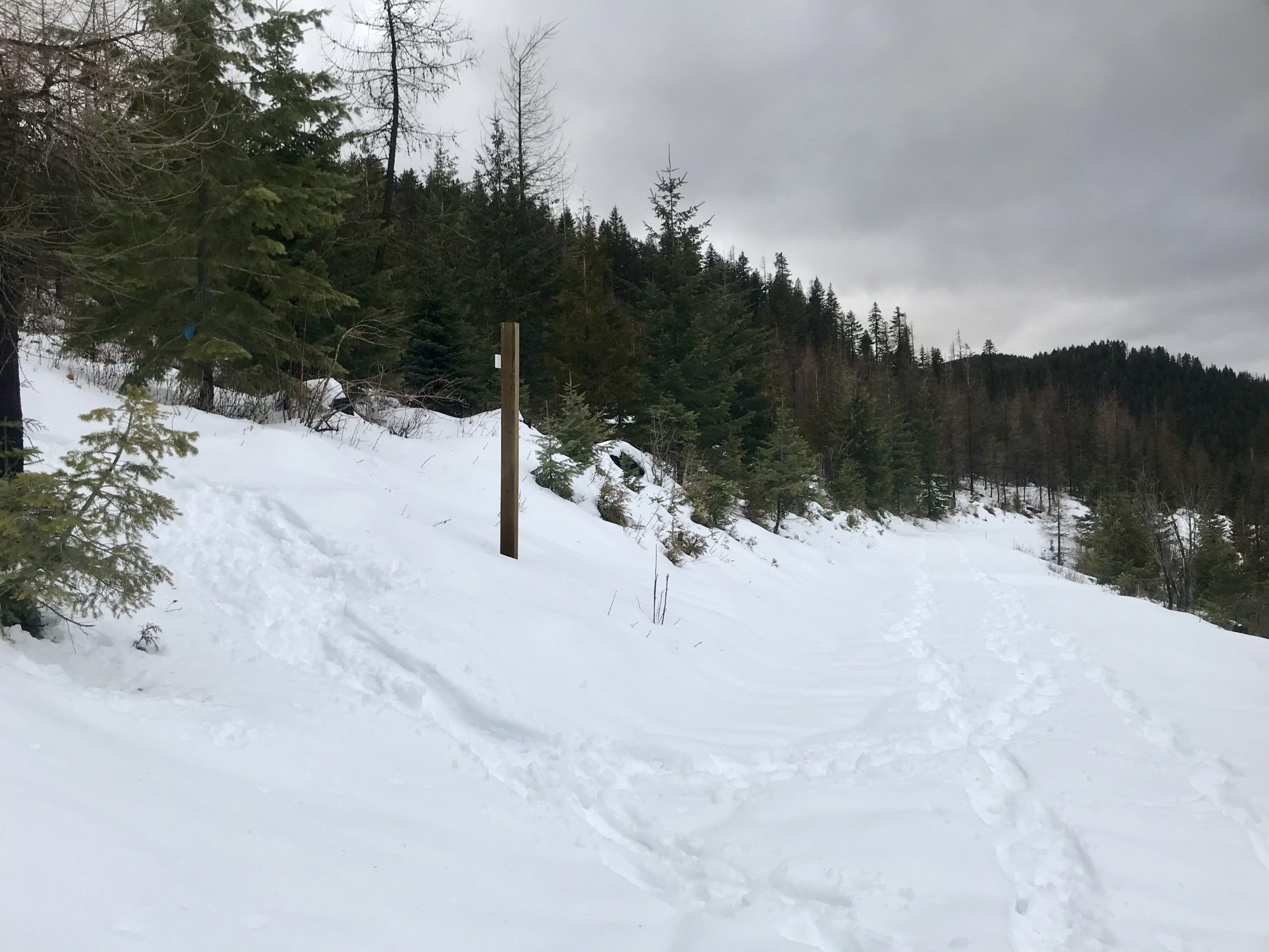
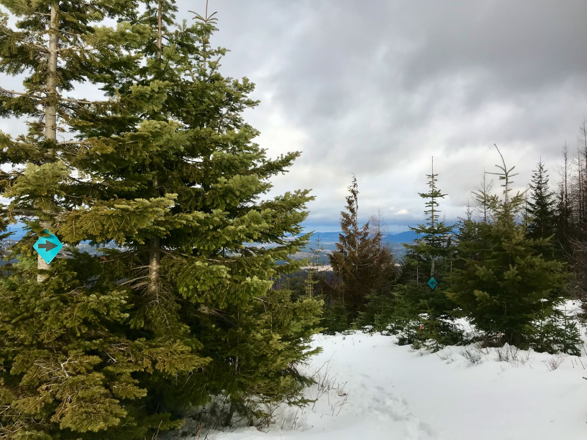
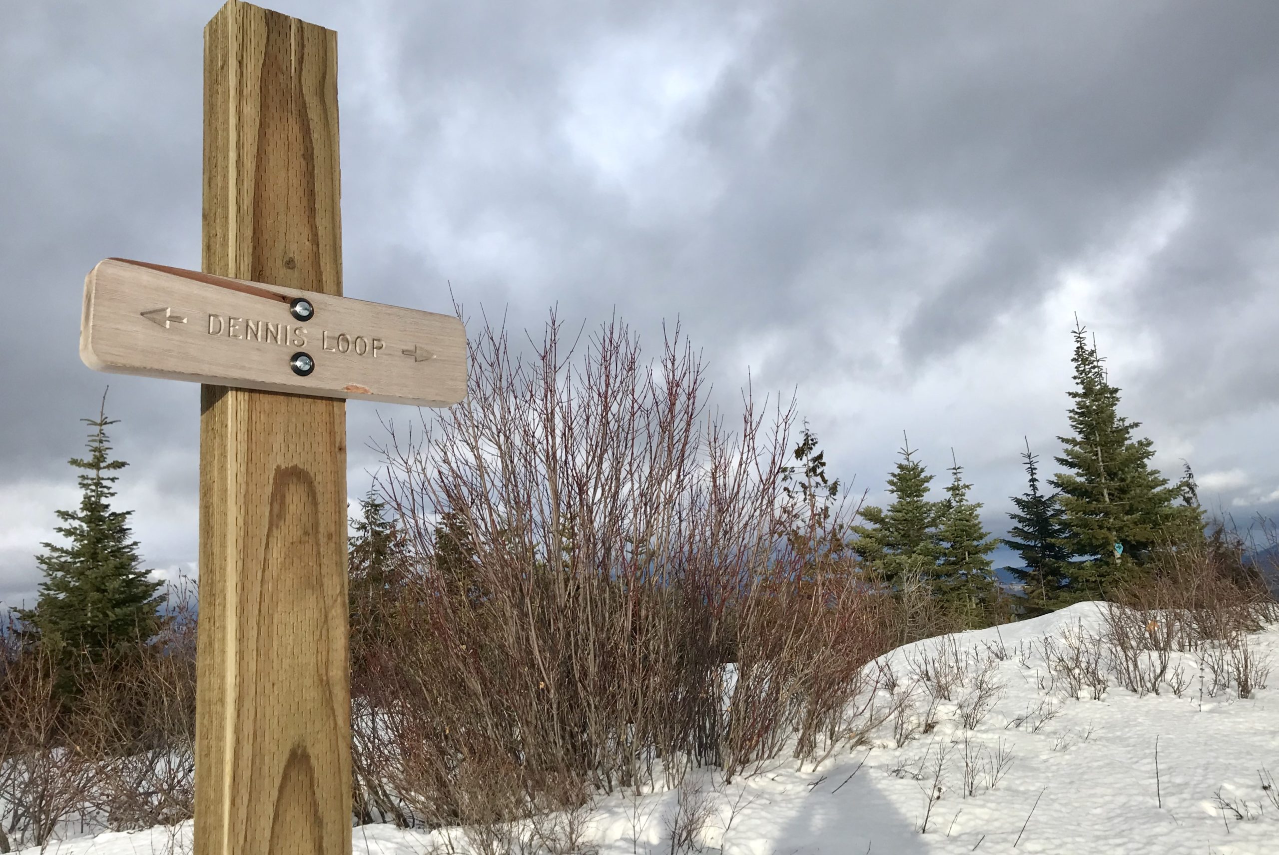
The trail starts off at about 3,500 feet and climbs up to the East Dennis Loop at around 4,200 feet over 1.5 miles, following Dennis Mountain Road to the west, now closed to motorized vehicles. The Loop is marked with a trail sign labeled with the number 2, which denotes 2 miles from the Palouse Divide Lodge. A black arrow on a blue diamond suggests that you head right to start the 2.5 mile loop on the north side of East Dennis Mountain. Jason and I suggest that you ignore that little, blue diamond and go left along the south side of East Dennis Mountain for one reason only. The cutoff connecting the trails into a loop is much more clearly marked on the south side than it is on the north side. Plus, the cut off is a steep slog through the brush, which you get to descend if you go south to north.
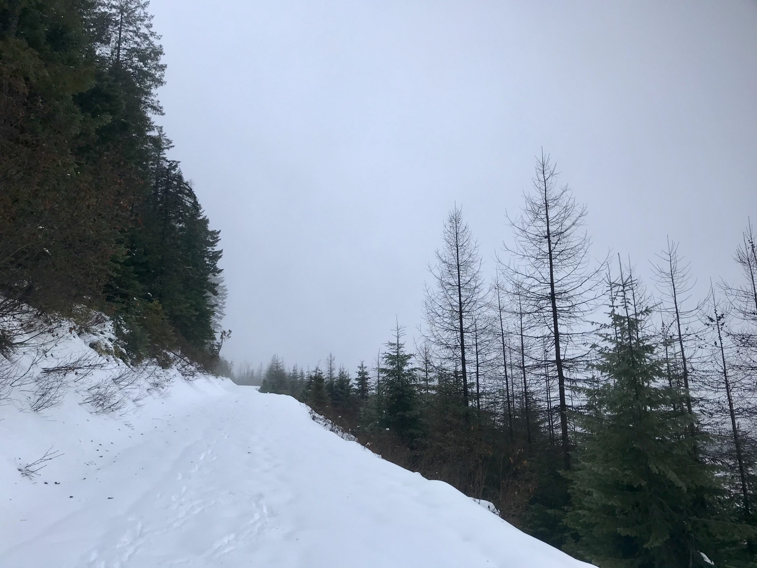
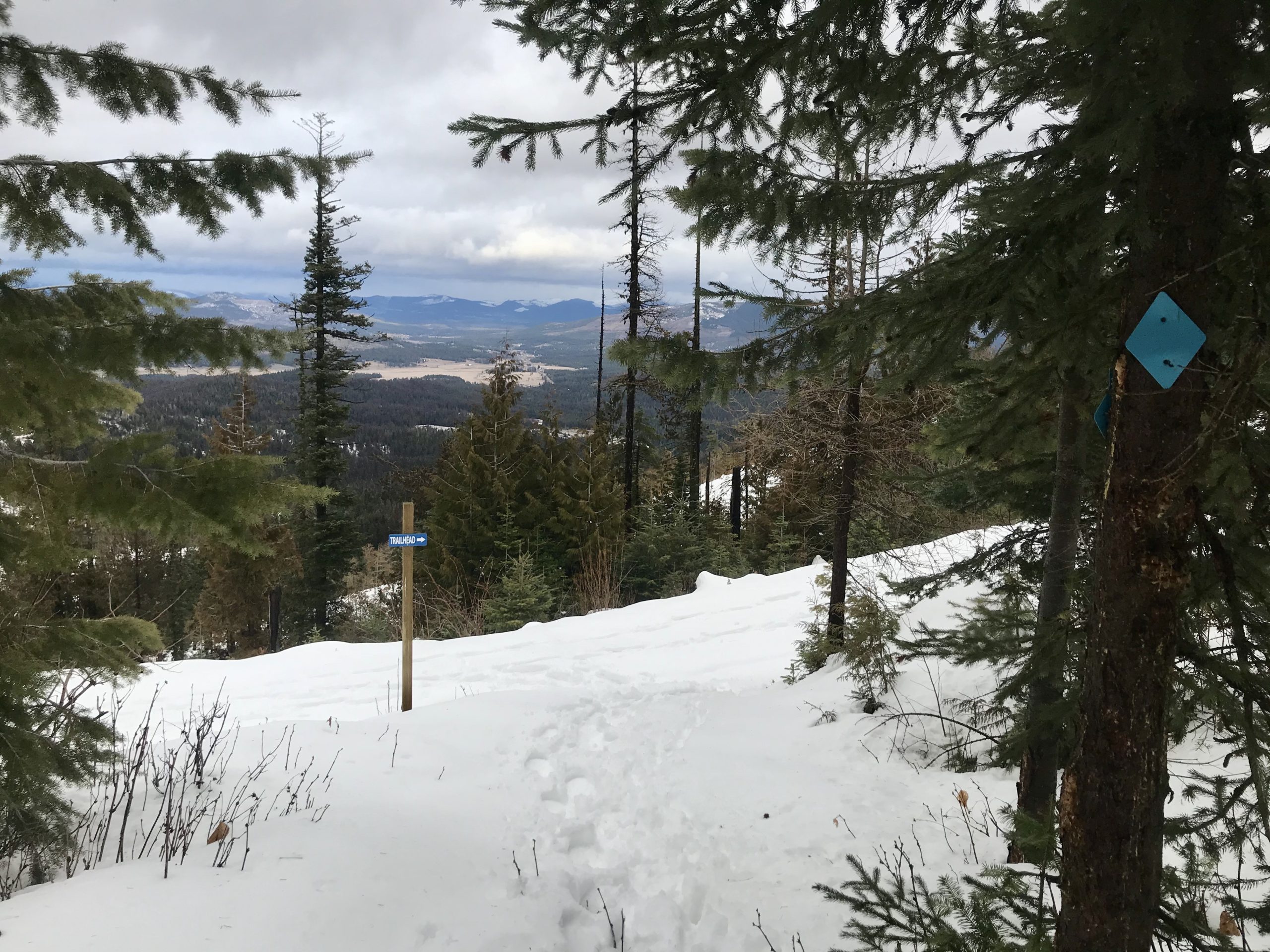
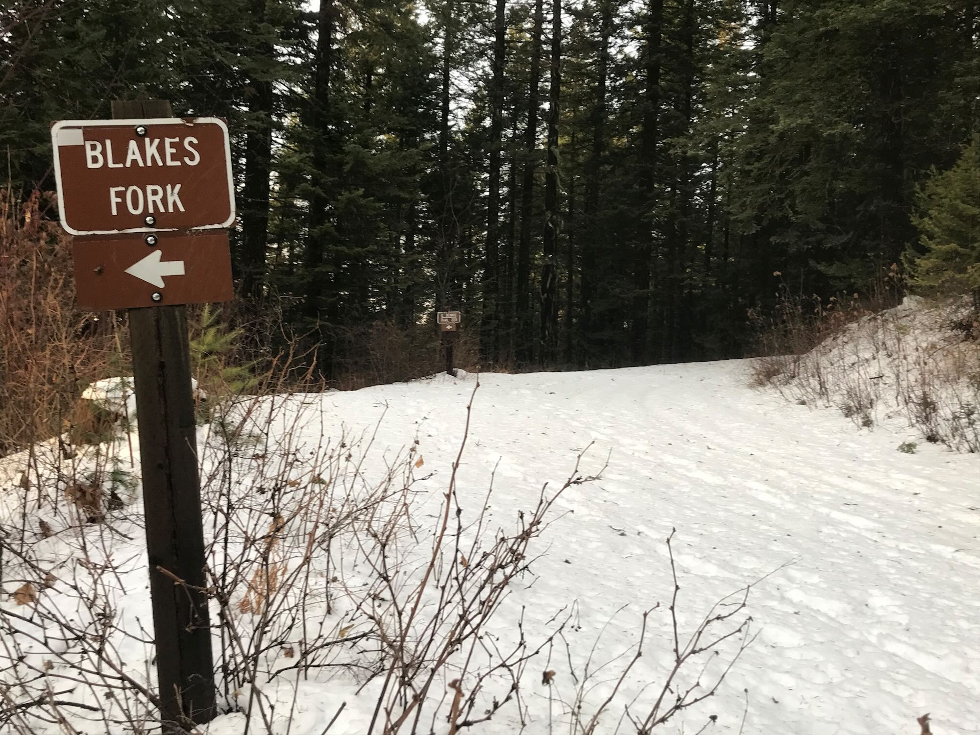
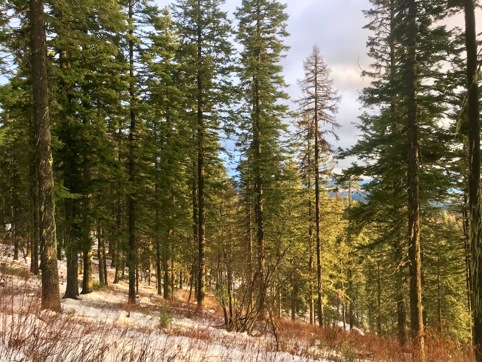
Just stay on Dennis Mountain Road and don’t veer off onto East Dennis Trail #223. The road is obvious and the trail is marked, so it shouldn’t be a problem.

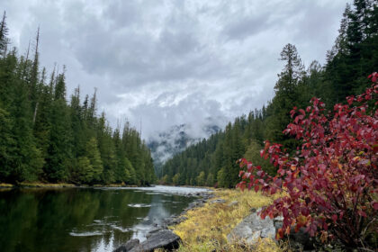
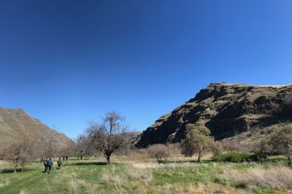
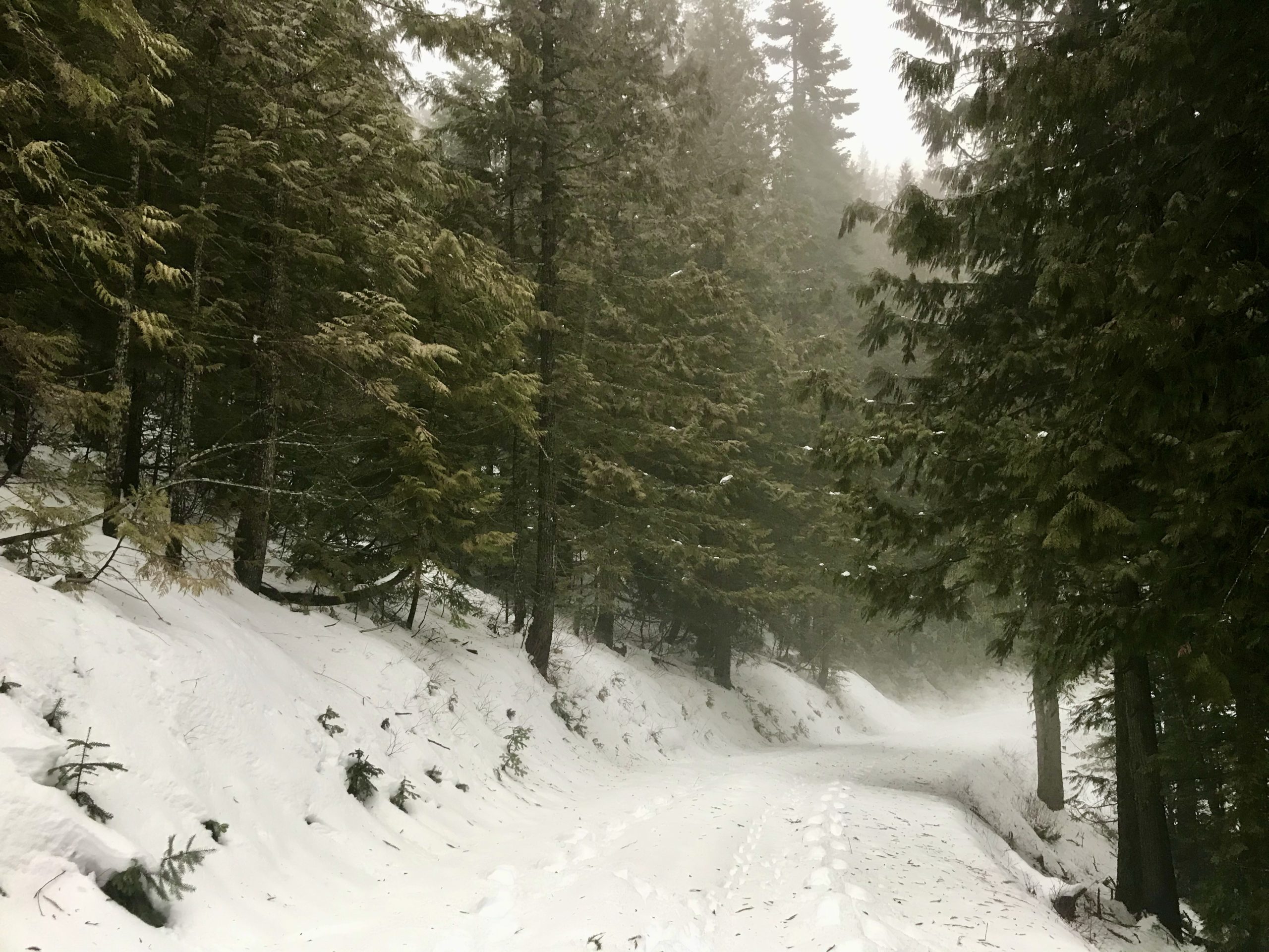
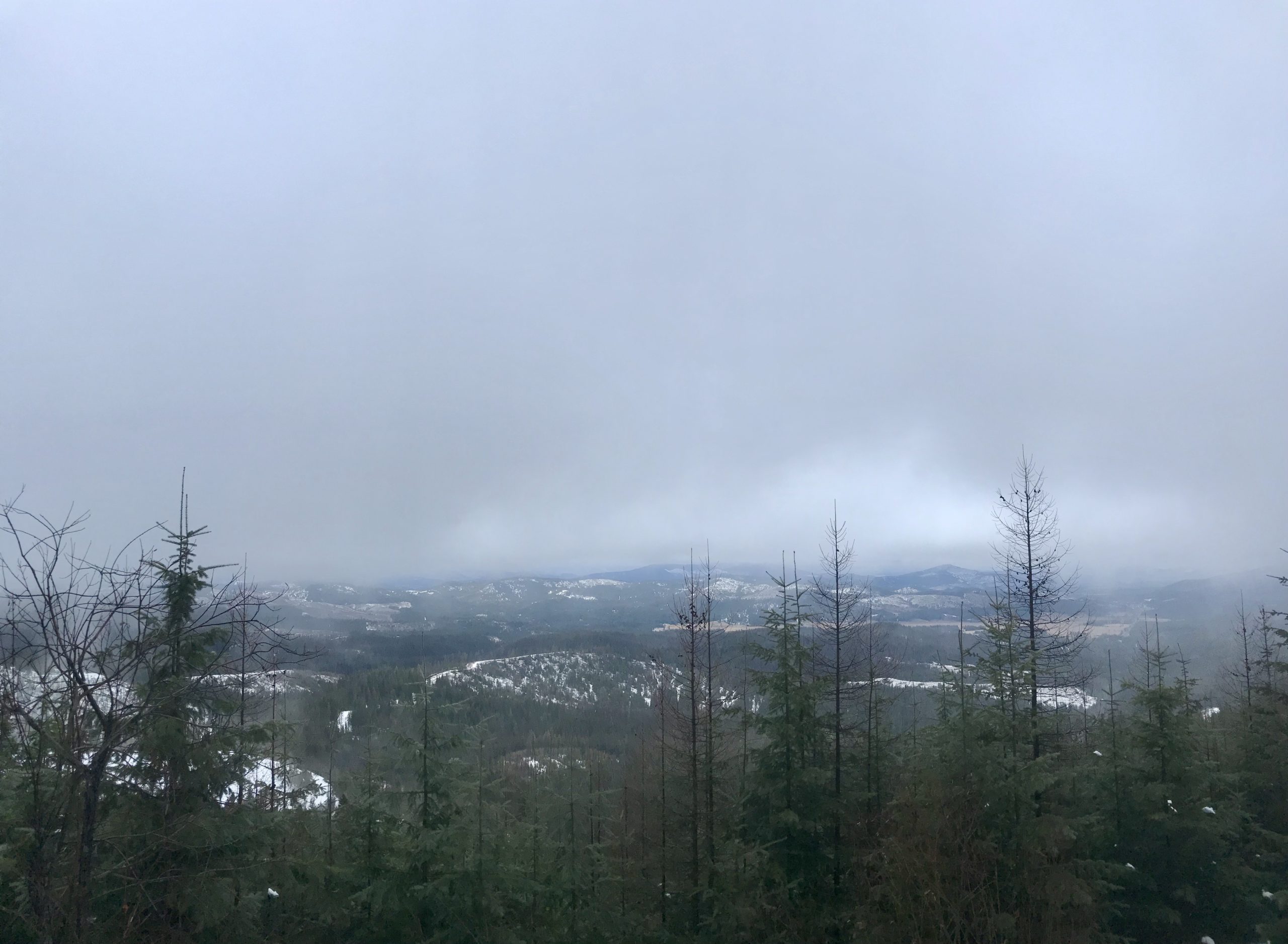
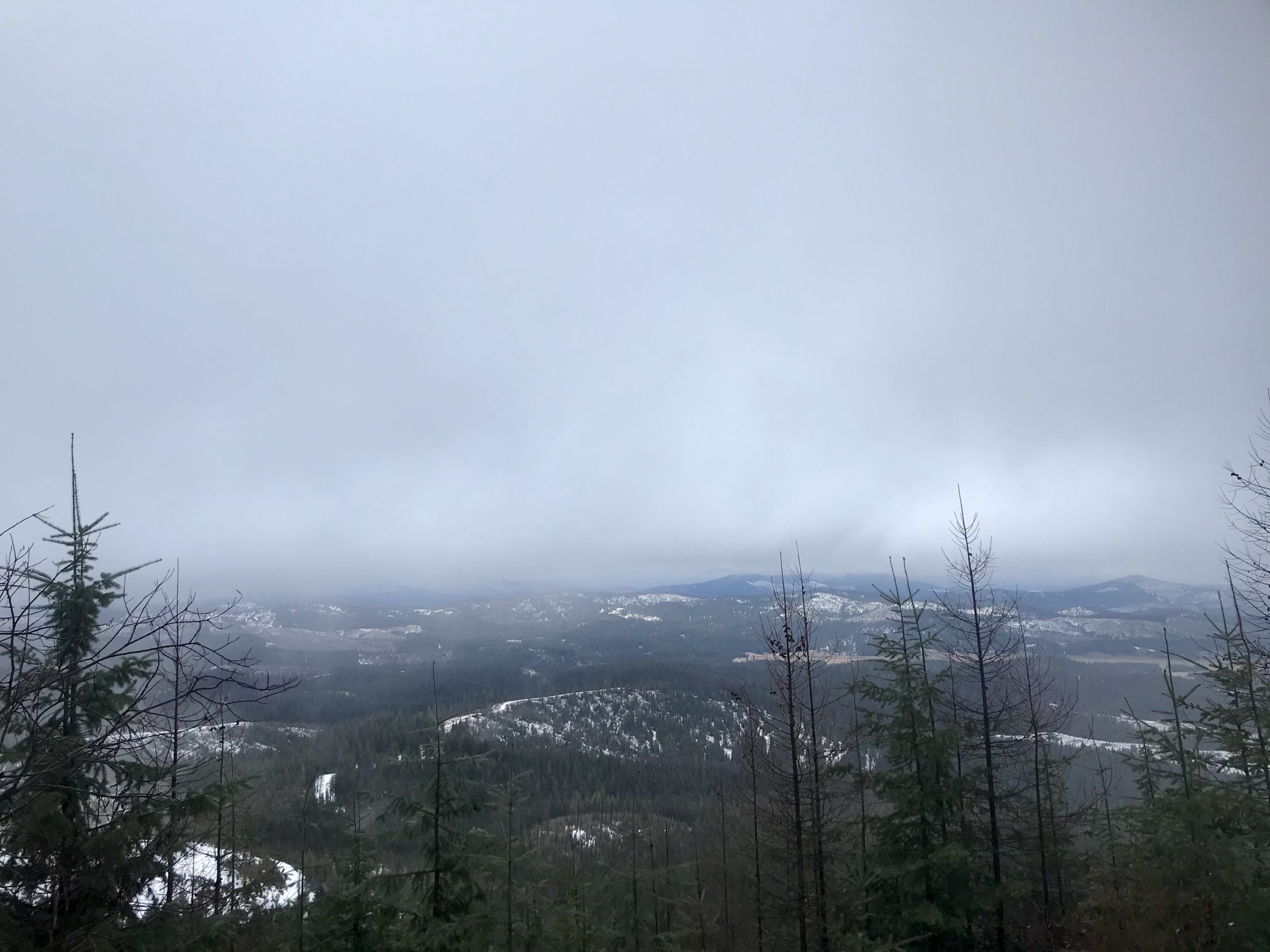
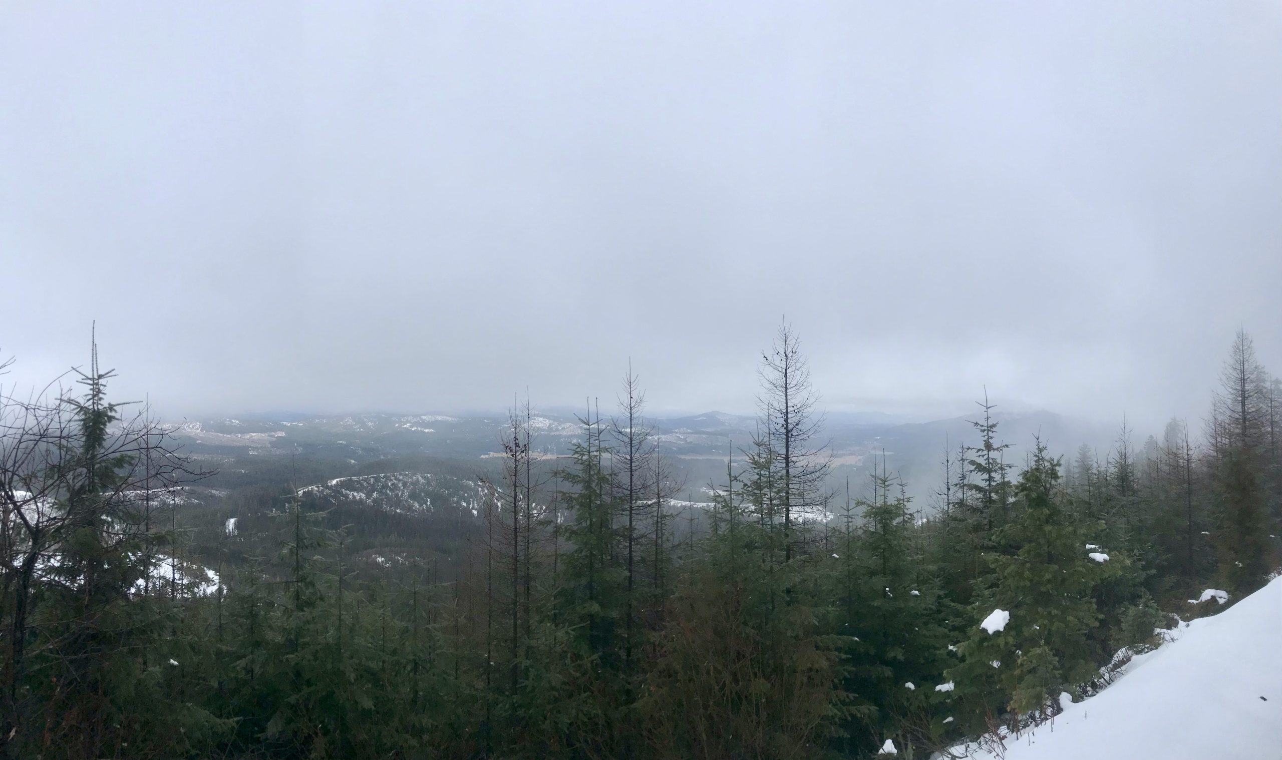
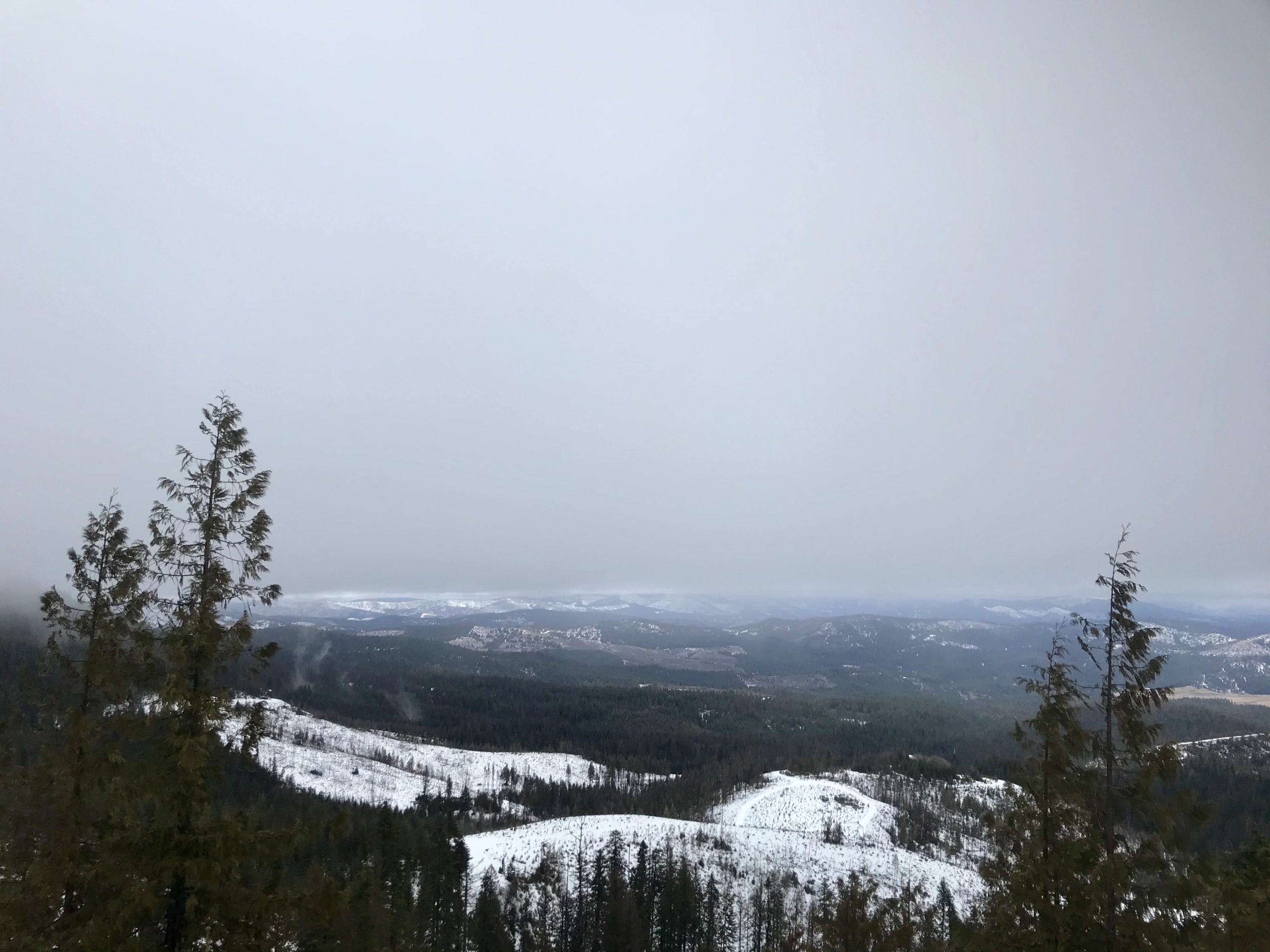
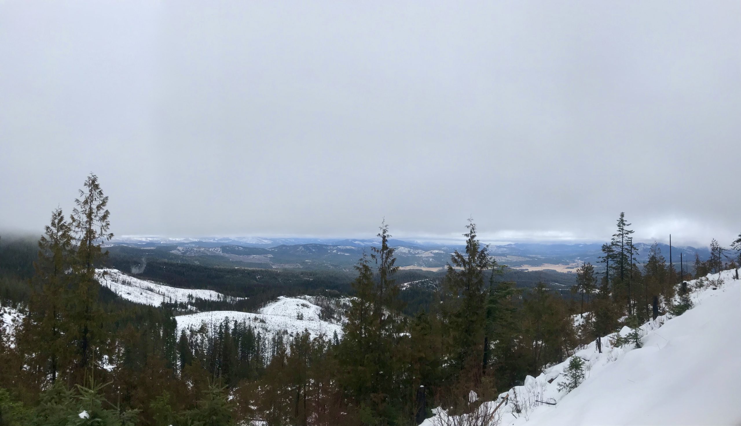
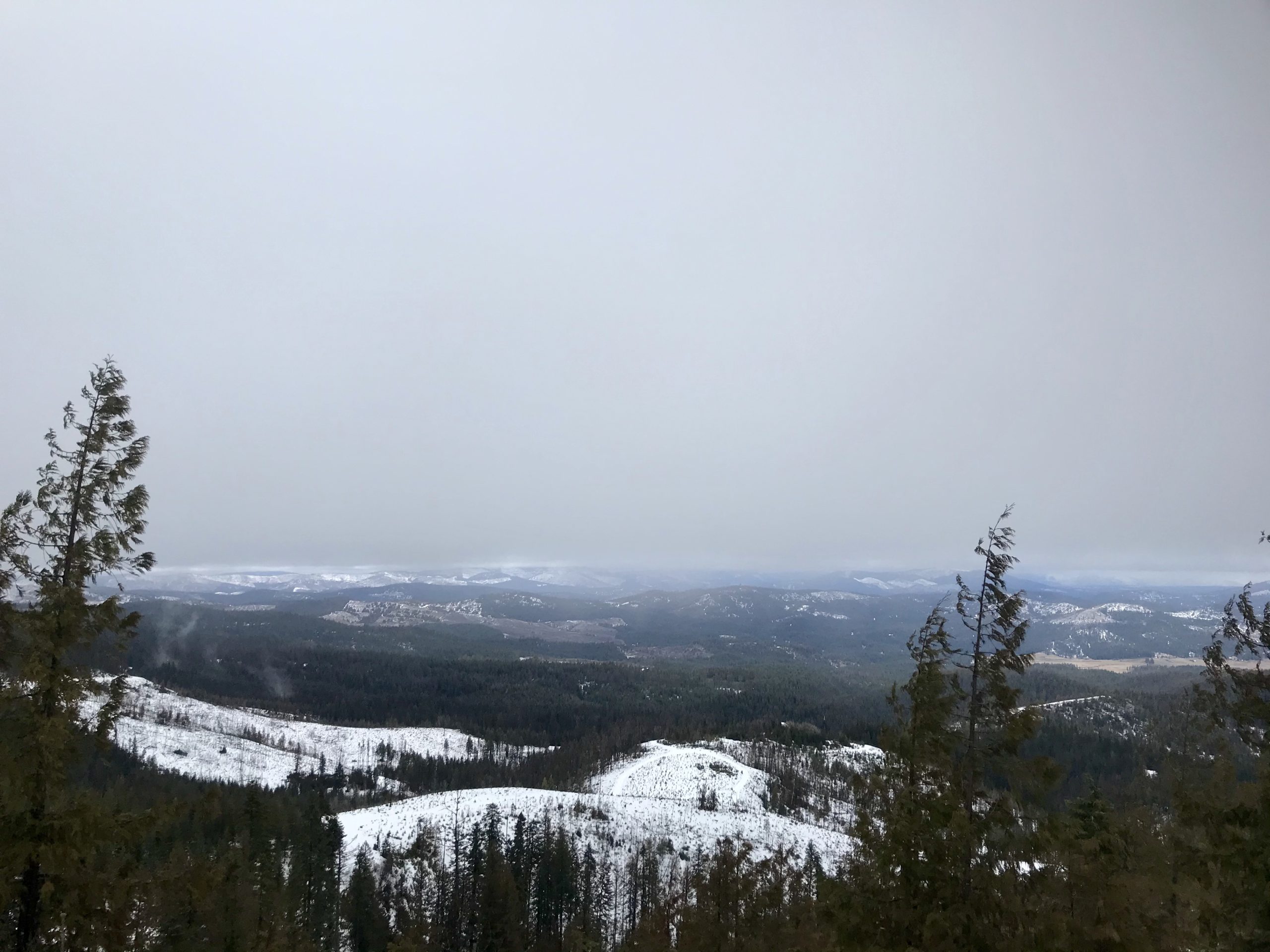
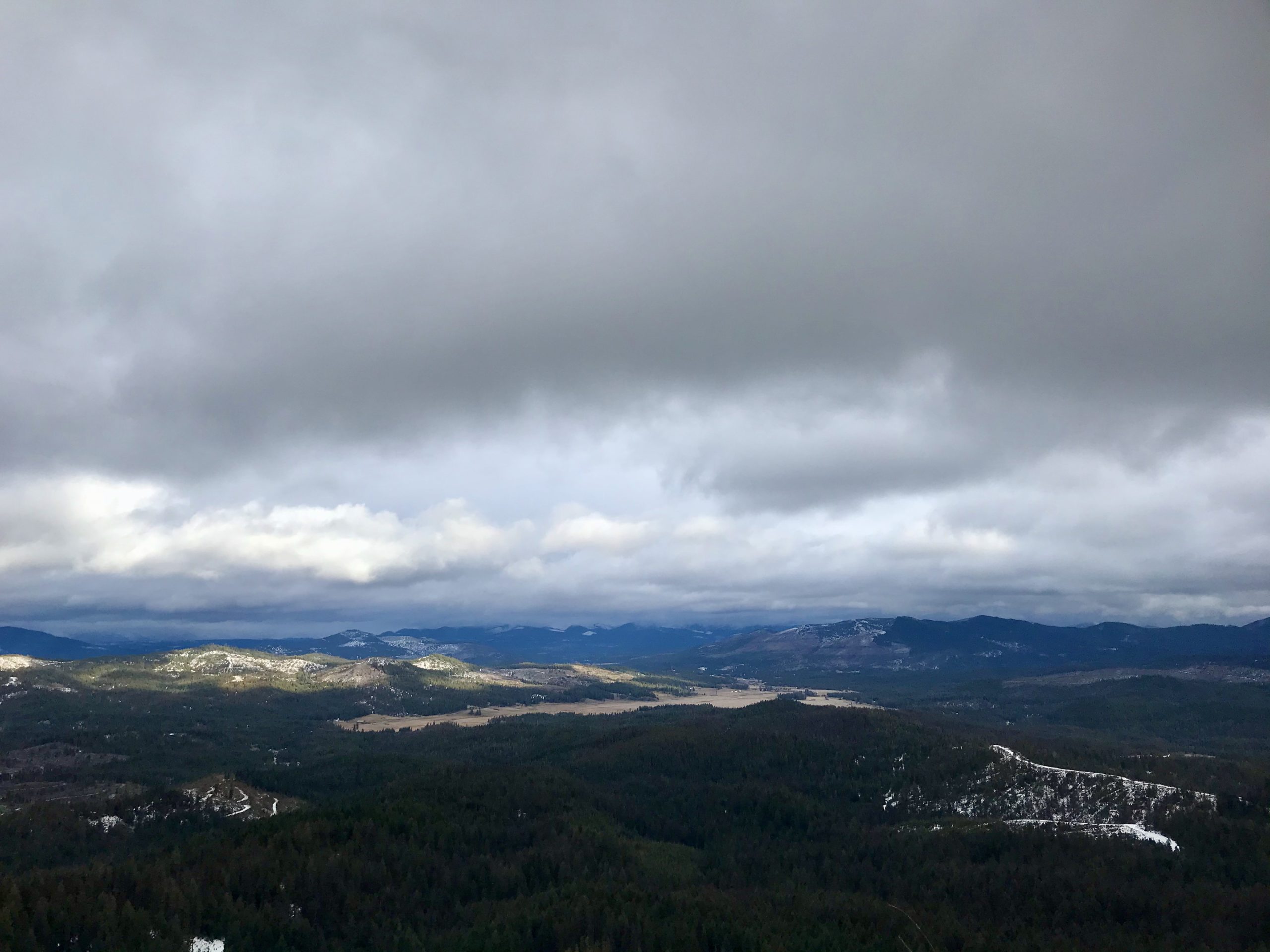
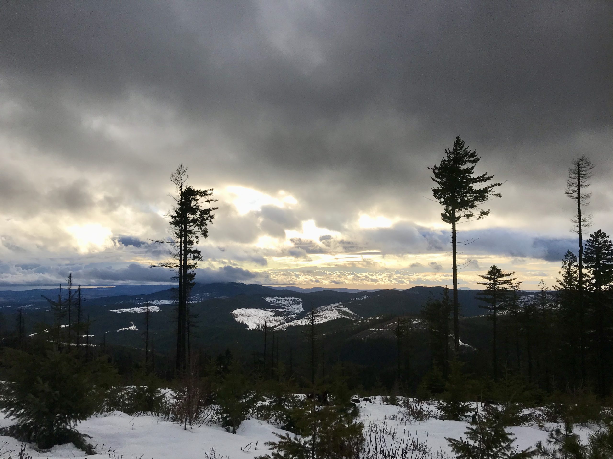
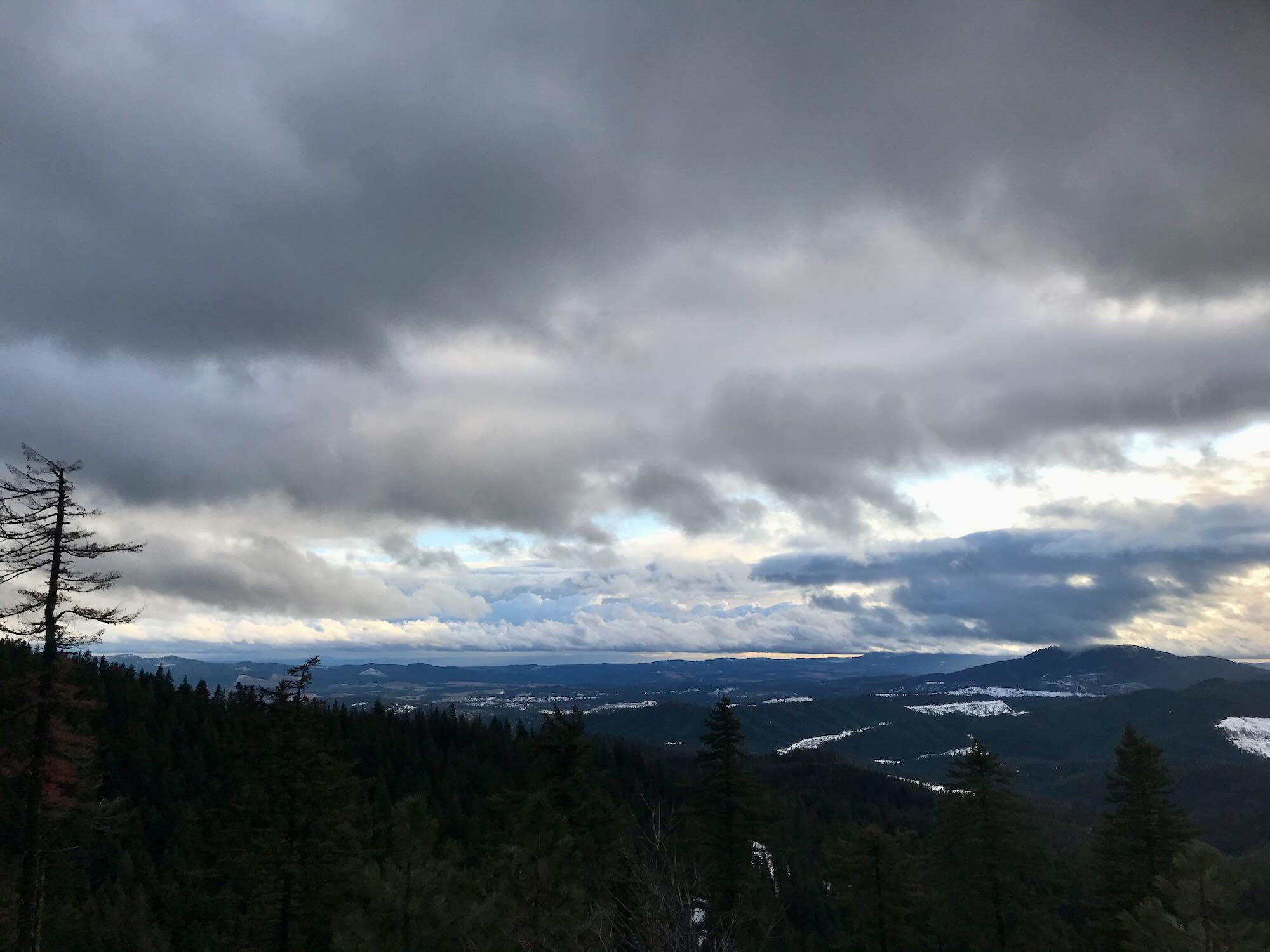
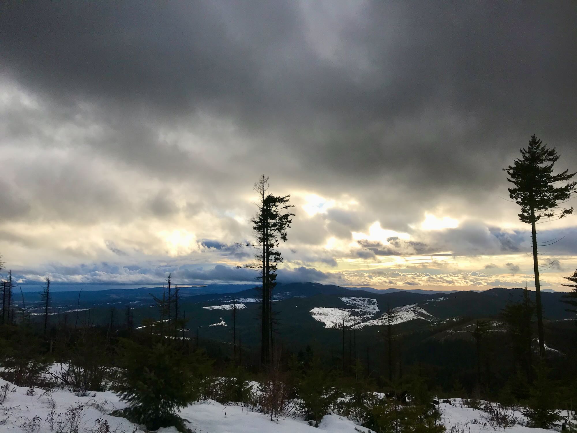
When we started off, the fog was low and thick, giving a mystic feel to the whole place. As we came around to the cutoff, the lifting fog revealed a panoramic view of Emida, so we were looking off to the right as we passed the cutoff on our left!
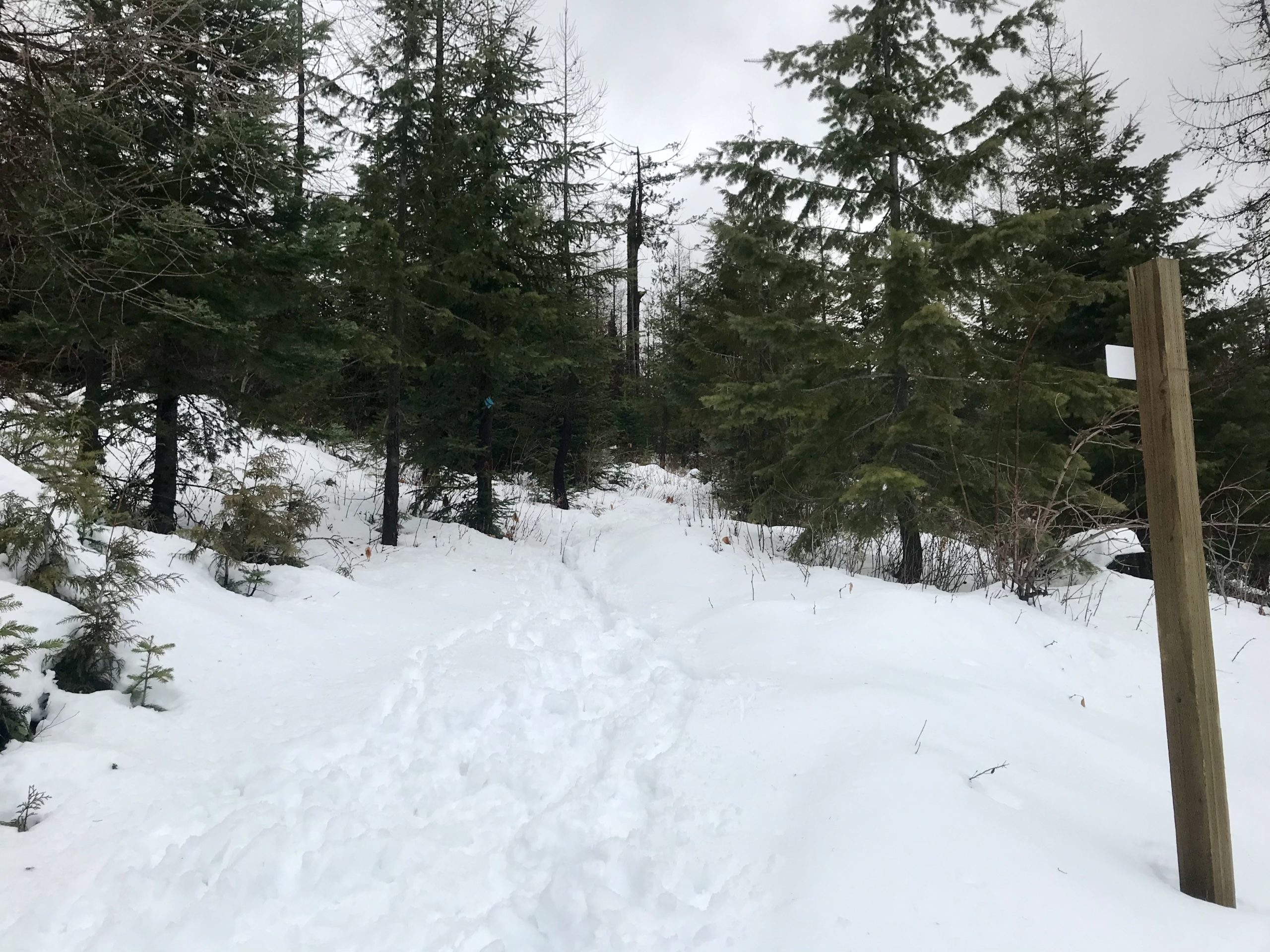
Not only that, but the cutoff was weakly marked by a bare post and a backward sign. In my peripheral vision it looked like all the other bare trees standing on a hillside covered in undisturbed snow. And, I’ll admit, I had misunderstood the trail map. I thought we would make a steep climb up to the cutoff, but in truth, the cutoff was the steep climb marked on the map.
We blew right past it. The dogs didn’t even notice. Jason and I eventually figured out our mistake, almost 2 miles later. Uncertain whether or not the old logging road we were on would loop around West Dennis peak to connect back to West Dennis Road, we opted to retrace our steps and find the missing cutoff. There might have been a little bit of head shaking and excuse making once we did.

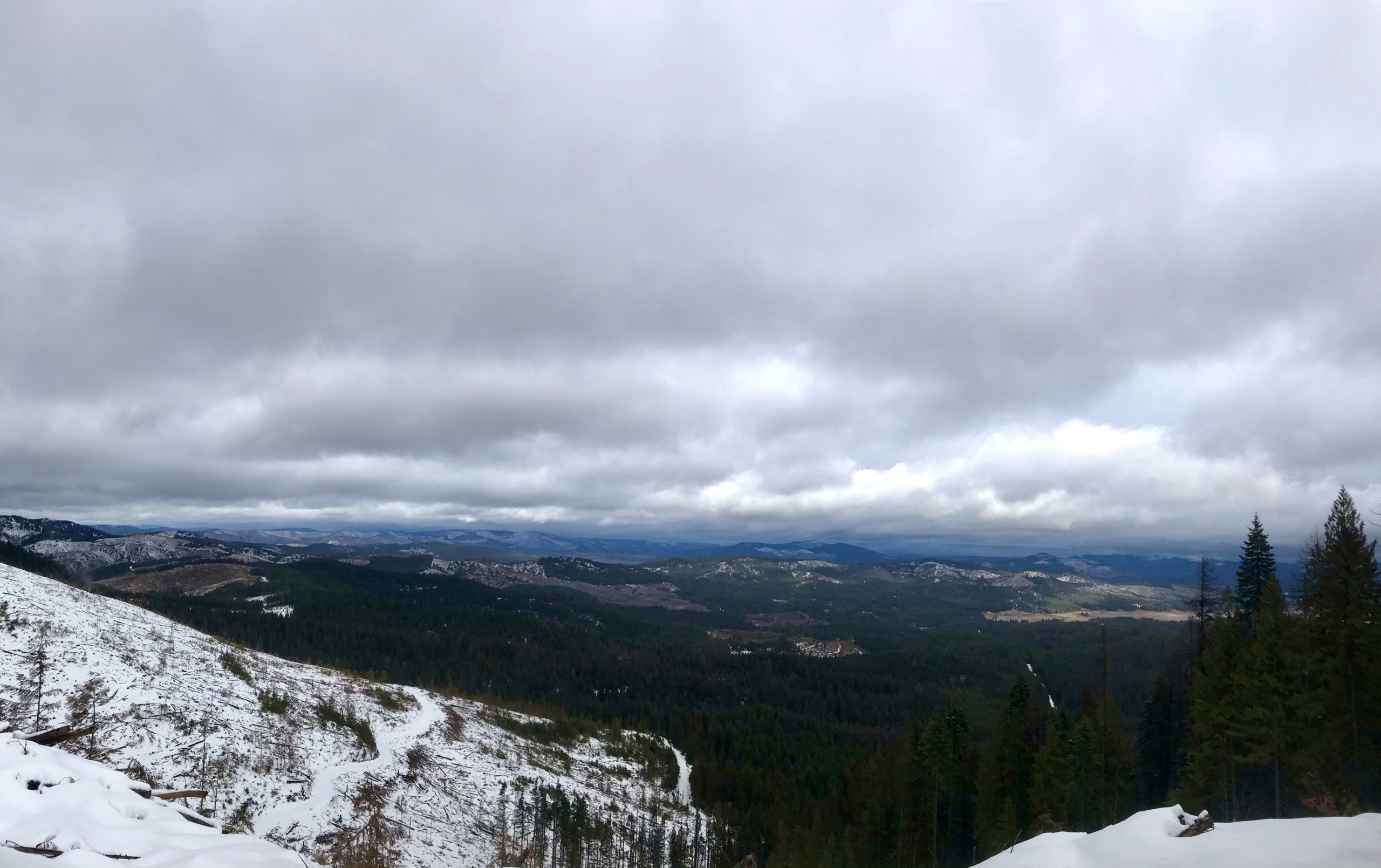
Cresting the rise where the cutoff meets the main road made the whole adventure worth it. The afternoon sun was breaking through heavy clouds and splashing down on the snow covered hills rolling off to the south. The wind bent the tops of the trees and silhouetted birds played on its currents.
This. This is why we do it.
The one good thing about taking this loop in a counter clockwise fashion is that from this point on it was all downhill back to our rigs. Our 5 mile snowshoeing hike had turned into 8.7 and we were starting to feel it. Even the dogs were slogging along at our feet, sometimes right on our shoes. We were gonna feel it in the morning, but it was a good day.
We started the New Year with our boots on (and new memberships to Gaia Maps*).
*If you are looking to sign up for a Gaia Maps membership, do it online rather than through your app store. There’s a discount for ordering online!
*Seek the Clearwater