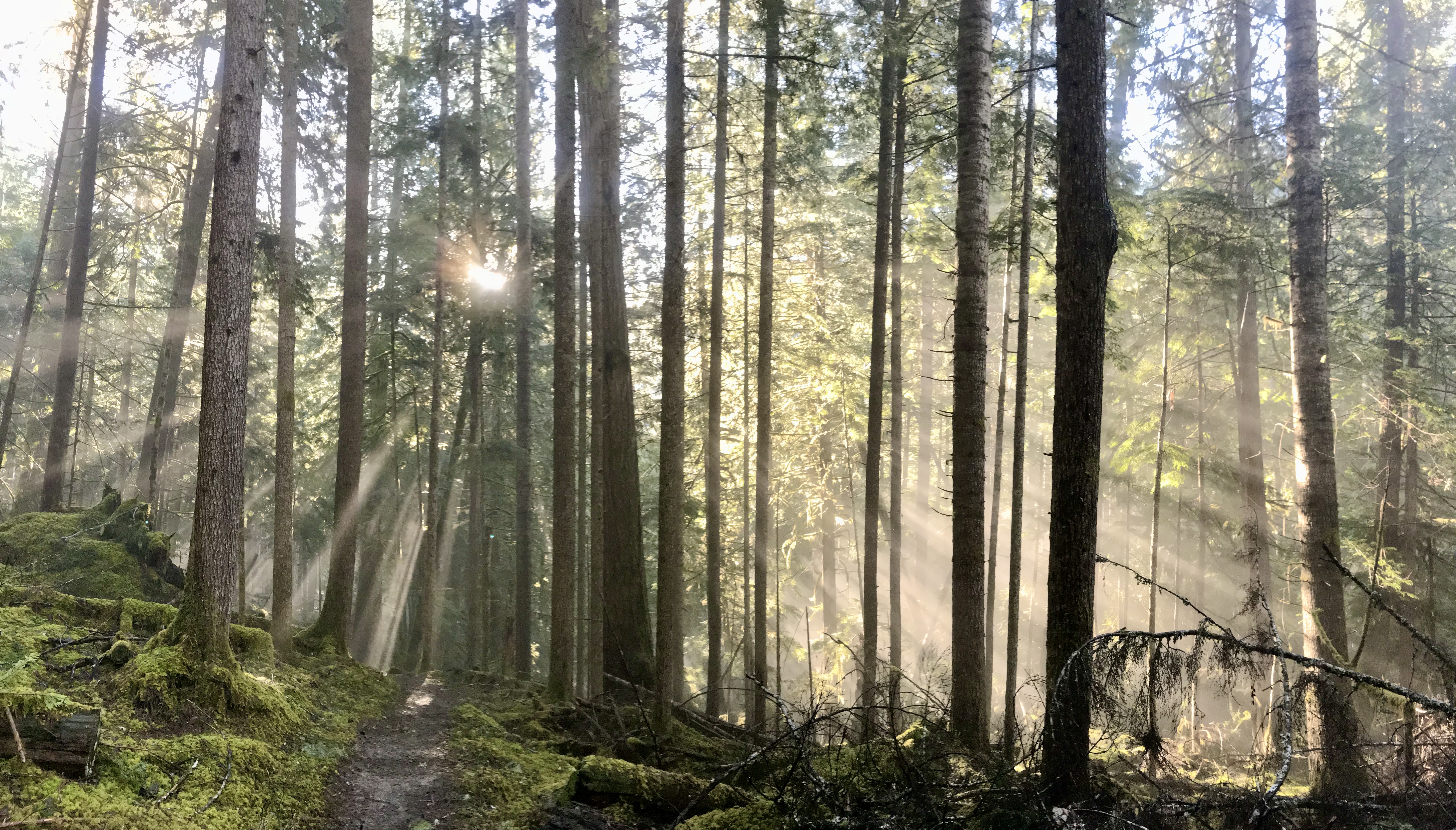
Over the past two seasons that I have worked for Rites of Passage Wilderness Therapy, I have enjoyed 30 weeks backpacking around the Olympic National Park and Forest. I’ve been able to explore trails all around the Peninsula, including along the beach, and I’ve spent countless hours poring over trail maps and discussing route options with fellow guides. Needless to say, there are plenty of places I’d love to explore that might have been too heavily populated or too far out of reach for our groups. But that didn’t stop me from dreaming about exploring these 5 trails in the Olympic National Park.

(Download this map to follow along!)
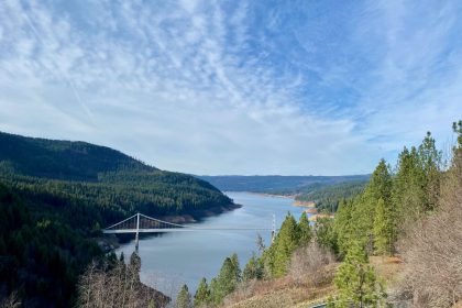
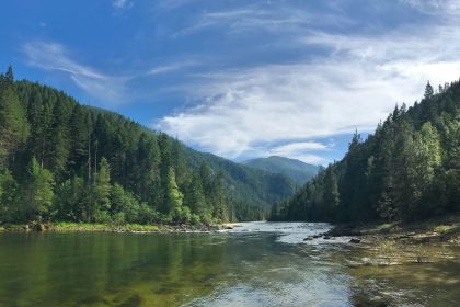
1. North Olympic Coast: Rialto Beach to Cape Alava (PNT)
At ROP, we call it Second Beach Week. First Beach Week (South Olympic Coast) runs from Oil City at the mouth of the Hoh River up to Third Beach just south of La Push, Washington. For Second Beach Week, we drive north around La Push and set in again at Rialto Beach, then hike up to Sand Point where we cut inland on the Sand Point Trail to get picked up at Ozette.
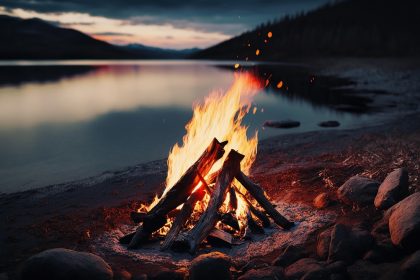
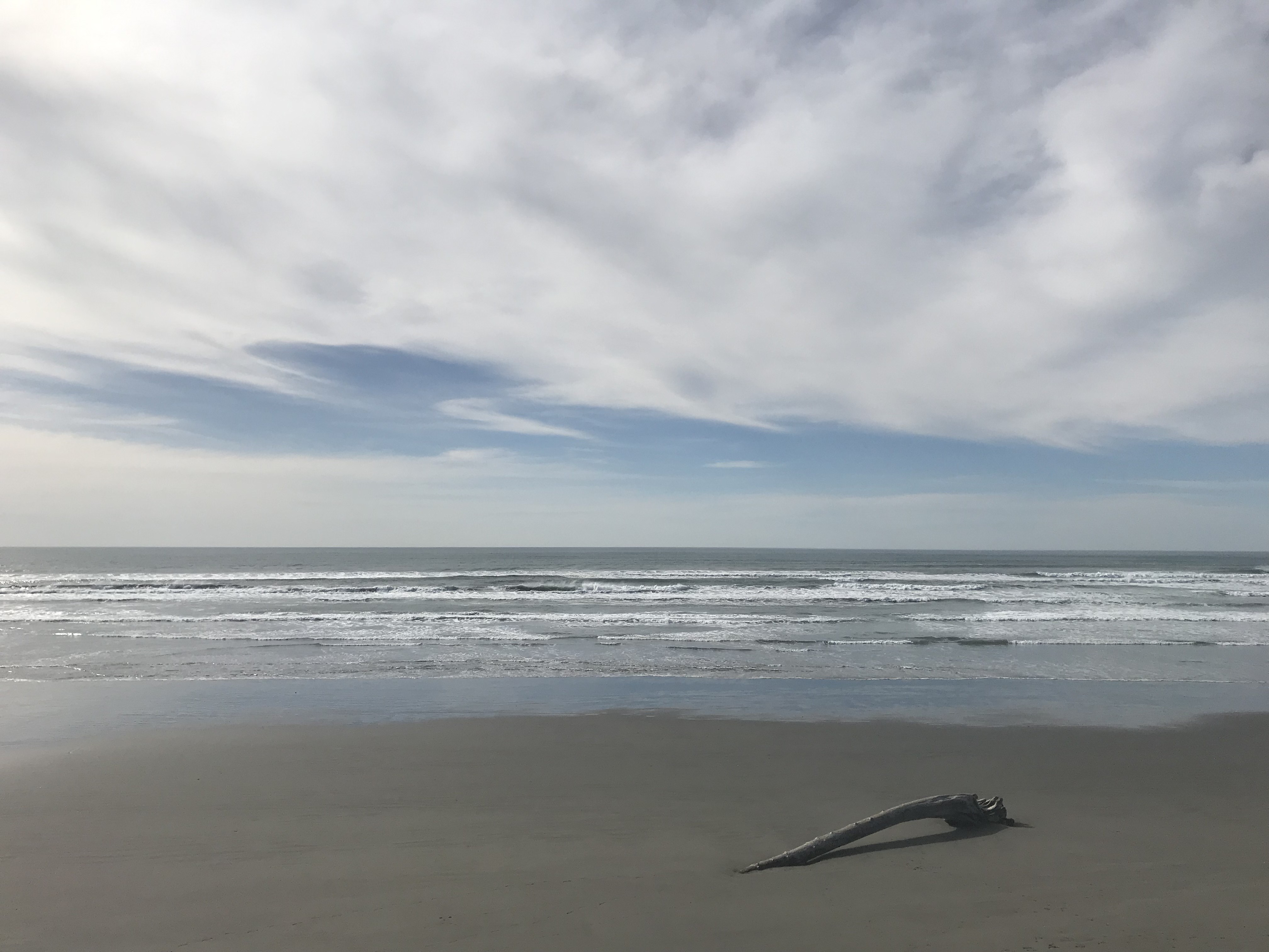
First Beach Week was beautiful and fun, quite the change from the mountains and alpine forests, but Second Beach Week is supposed to be where the waters glow with bioluminescent plankton. (Check out the caption on the photo for this article. I was so close!) This northern coastal trail between Rialto Beach and Cape Alava was the inspiration for Rites of Passage Wilderness Therapy, and it’s the conclusion to the Pacific Northwest Trail which begins in Glacier National Park, Montana.
Who knows? Maybe I’ll get to hike the northern beach trail when I complete a Pacific Northwest Trail thru-hike! Who’s in?
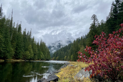
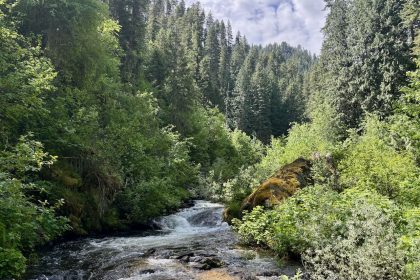
2. Hoh River Trail to Glacier Meadows
The Hoh Rain Forest and Hoh River in the southeast corner of the Olympic National Park are hugely popular destinations, so we usually hiked along the Bogachiel River Trail just to the north. Bogachiel is cool because it’s part of the Pacific Northwest Trail, and you can follow it all the way to the Sol Duc area, but the Hoh River Trail takes you to the Blue Glacier on the north side of Mount Olympus herself.
I find it interesting that the Hoh River Trail climbs up to Blue Glacier instead of continuing along the Hoh River all the way to the Hoh Glacier, but I’ve heard tell of the beauty of the Blue Glacier and would like to see it for myself one day.
3. High Divide Loop (7 Lakes Basin)
This adventure may start off as a family vacation to the Sol Duc Hot Springs, or it might be a side jaunt along my PNT thru-hike. Either way, I’d love to explore the 7 Lakes Basin in the northern area of the Olympic National Park. There’s so much going on here, and so many things to see.
The PNT brings you in over Appleton Pass and loops around the south side of the 7 Lakes Basin, taking you to Sol Duc Park, over Bogachiel Peak, and out on the Bogachiel River Trail. Or you can drive right into the Sol Duc Falls and follow the Sol Duc River Trail eastward to meet up with the PNT. Use Deer Lake Trail to loop back around to the parking area at Sol Duc Falls.
4. Aurora Ridge Trail
The Aurora Ridge Trail caught my eye because it overlooks Lake Crescent on the north side of the Olympic Park. Having driven along the southern shores of Lake Crescent several times with ROP (and once long before), I’ve often been stunned by its grandeur.
The Aurora Ridge Trailhead is on the west end of the lake, just off Highway 101 on Sol Duc Hot Springs Road. The trail follows the Aurora Ridge for 15 miles and appears to pass right over Aurora Peak at 4,725 feet elevation. I can only imagine the stunning views of Lake Crescent from there! I bet you can see all the way across the Strait of Juan de Fuca to the shores of Canada. And how regal must stand Mount Olympus to the south?
If you’re staying at the Lake Crescent Lodge on Highway 101, you can have someone drop you off at the Aurora Creek Trail (careful, this is a primitive trail, and so is the trail east of Aurora Peak) and climb up to the ridge from there. Head east up and over Aurora Peak, and then come right down to the Lodge on Barnes Creek Trail.
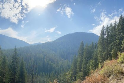
5. Deer Ridge Trail (PNT Alt)
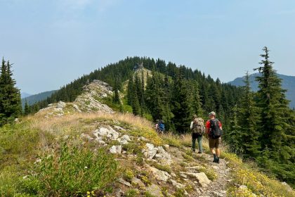
Wandering along heights of over 6,000 feet elevation, the Deer Ridge Trail is bound to offer stunning views of the northeast corner of the Olympic National Park. I’ve hiked below it on the Upper Gray Wolf River Trail, and some of our groups have even climbed the grueling switchbacks of Three Forks Trail to get up to Deer Park, but I’ve only heard stories of the views up there.
Deer Ridge Trail climbs all the way up to Elk Mountain at 6,777 feet before dropping down past Obstruction Peak and connecting to the Hurricane Ridge improved road. This is an alternate route for the Pacific Northwest Trail, too, for those who would like to see the popular Hurricane Ridge. For me, Gray Wolf has always been cold but enchanting, shrouded by dense trees and steep slopes. I’d like to get on top of this rugged corner of the Park. I think it would be truly majestic up there.
If Wishes Were Shoes
I’d wear mine out on these 5 trails in a heartbeat. What about you? Have you ever been to any of these trails? Which one sounds like a worthy adventure to you? I’d love to hear your thoughts in the comments below, or join our community on Facebook where you can show off your pictures for us! Thanks for reading, and we’ll see you on the trail!