It was a fun day, but we never made it to Robbins Creek or Cable Car Hot Spring just half a mile past, so I set out to do just that on my own in September of 2024. I knew going in what the first couple of miles looked like and that there was a section of private property I received permission to cross just past that beach where Jacob and I did lunch and turned around before, but I had no idea what I was getting myself into after that.
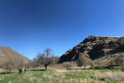
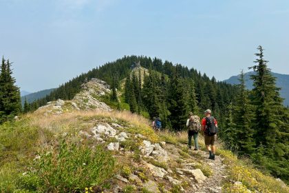
I hit the trail on a beautiful, sunny day in late September and made fairly quick work of those first two miles. This section really is the best part of the trail because, practically speaking, it’s the only part of the trail. I’m not sure when the private property was zoned in, but it effectively cut off any trail maintenance from its western edge all the way to Robbins Creek. The next three-and-a-half miles have been given over to brambles, overgrowth, fallen trees, tumbling boulders, and rattle snakes.
I think Conquering the Crystal Lake Trail in the Gospel-Hump Wilderness was more grueling simply because I had to scramble over a field of fallen trees and climb up and down multiple steep slopes, but the anxiety of watching for rattle snakes with every step I took maneuvering through this wild, rugged terrain was exhausting.
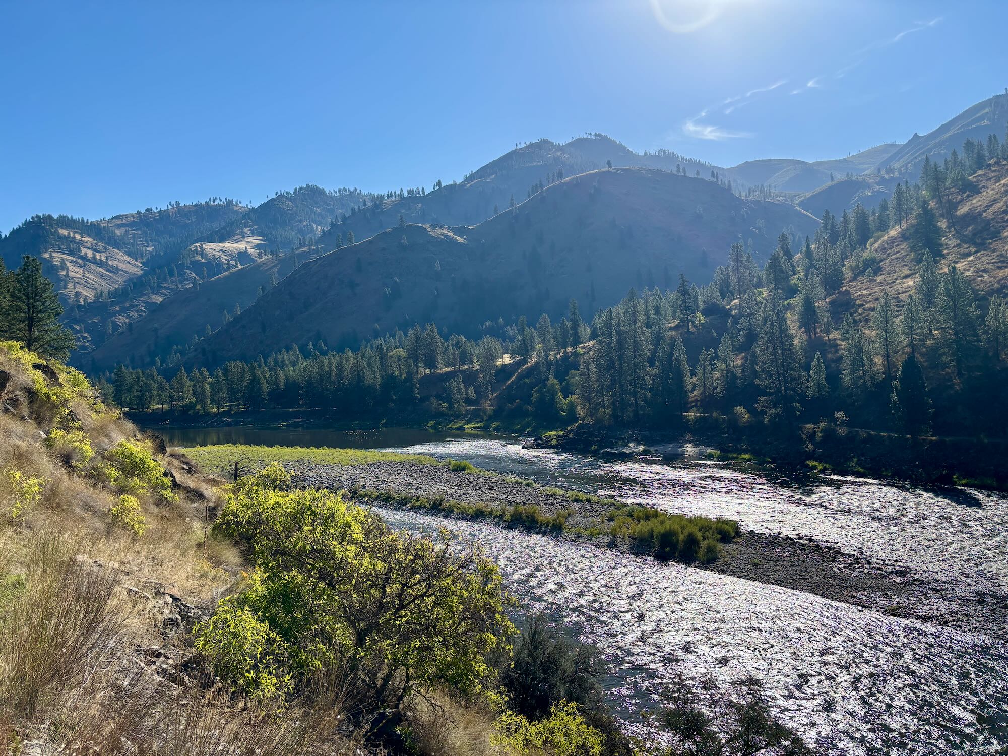
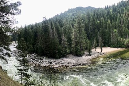
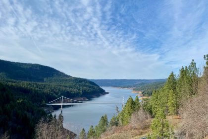
It was rough going, for sure, but this landscape is really quite remarkable. It’s untamed, despite our best efforts. The Big Salmon Road was supposed to connect Riggins on Highway 95 with North Fork on Highway 93, but like the mining village at Robbins Creek, this was eventually abandoned and given back to the snakes.
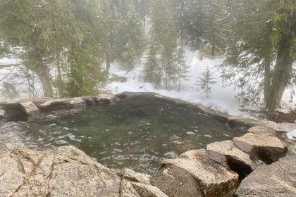
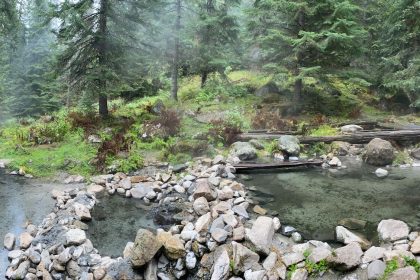
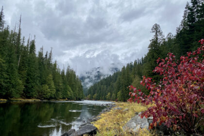
The ruins at the mining village were cool to see. They were piping water from the river up into their little stone and cement huts. There are retaining walls still standing among the trees, and the whole area provides some of the most pleasant shade along the whole trail. If you ever go rafting down the Lower Salmon River, I highly recommend stopping off at Robbins Creek and checking out the ruins and the hot spring.
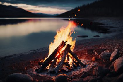
When I was researching this trip, I couldn’t find anything that told me exactly where Cable Car Hot Spring was, or what to expect as I approached it, so I made this video to answer that question. In it, I do the whole half-mile approach from Robbins Creek to Cable Car Hot Spring - edited down, of course. I also have a look at the old log tub and cabin and explore the hot spring cave. I hope you enjoy it, and thank you for reading & watching! See you on the trail.