- Elevation
- Low: ~800 ft
- High: ~1,000 ft
- Distance: 12 - 16 mile loop
- Difficulty: Easy to moderate
- Best Seasons: Late Spring to Early Fall
- Maps
- Fees:
- Directions: Go north on Wynoochee Valley Road, which is 1 mile west of Montesano, WA on Highway 12. Follow Wynoochee Valley Road (Forest Service Road 22) for 35 miles. You'll come to an intersection with FR-2312 going straight and FR-22 turning left. Follow FR-22 to the left. Shortly, FR-22 will intersect with FR-2294. Turn right onto FR-2294 and follow it around the dam to the day use area or Coho Campground. (Alternatively, you can park at the dam and hike the Wynoochee Lakeshore Trail starting on the east.)
- Notes: Time your trip to Wynoochee Lake with the warmer seasons. The Forest Service Roads close to vehicles on the north end of the lake in October, and the trail gets snowed in during the winter.
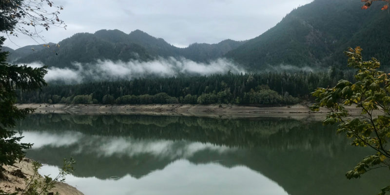
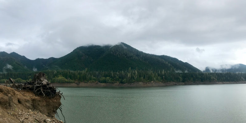
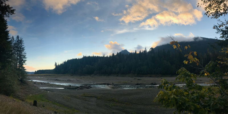
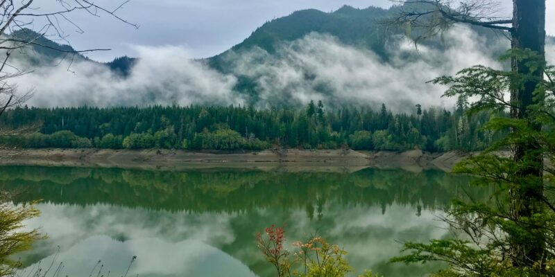
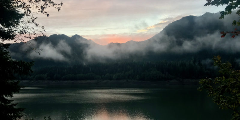
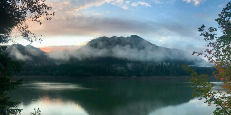
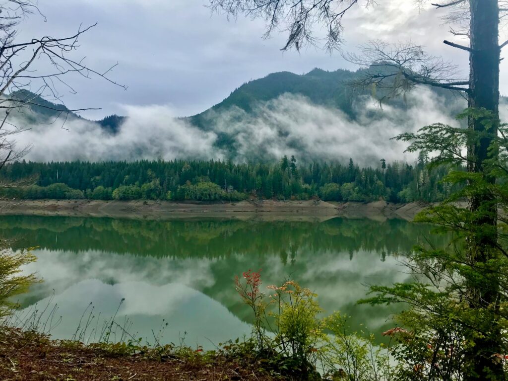
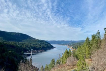
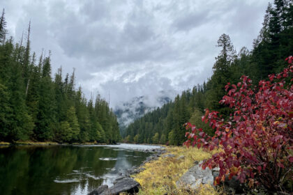
Wynoochee Lake is beautiful, even in the rain. Thick fog shrouds steep mountainsides that loom over deep green waters. The shoreline was a familiar ring of bare earth above low reservoir waters that reminded me of our own Dworshak Reservoir in Orofino, Idaho. Oddly enough, Highway 12 will take you to both.
From Dworshak Reservoir, simply follow Highway 12 west for 481 miles to Montesano, Washington, then turn north onto Wynoochee Valley Road and follow that for about 35 miles. You’ll pass the dam on your way to the day-use area and Coho Campground, which offers 46 RV sites, 8 tent-only sites, 3 yurts, one group site, and a boat launch. Oh, and bathrooms. We really appreciate the bathrooms. Check the Forest Service webpage for relevant rates, maps, and reservation information.
Coho Campground makes a good base for enjoying all that Wynoochee Lake has to offer, especially if you’re planning on day hiking the 12 to 16 miles around the reservoir. There are also a couple of primitive campsites along the Wynoochee Lake Shore Trail if you’d rather take a couple of days to hike it, and flush toilets aren’t essential for enjoying your camping trip. When you head this way, be sure you’re using the updated trail map that shows the recent re-routes onto Forest Roads and how to get to Maidenhair Falls.
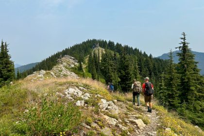
I had the privilege of hiking the Wynoochee Lake Shore Trail #878 with a couple of Rites of Passage Wilderness Therapy students. We were dropped off at the Coho Campground and hit the trail heading north along the western shore. We only hiked in about a mile to the Chetwoot Campground for our first night, giving us a chance to scout the site for therapy day later that week and to set the Noah Tarp up to shield us from the rain.
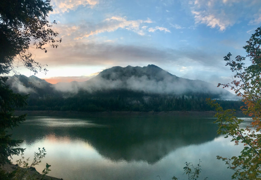
I think they expected a lot more foot or boat traffic to Chetwoot because there are several campsites with tables and BBQ grills, but they’re all overgrown now. The site we stayed at is on a corner that looks back over the lake toward the dam. It’s an amazing view from every angle.
In the morning, we set out, hiking most of the western shore length. The Wynoochee Lake Shore Trail does not follow close to the waterline but wanders up and down the mountainside through the trees. The trail itself is well maintained, but the dense undergrowth soaked us with residual rain. Still, there is something majestic about the sunlight cutting through moss-covered branches and dancing on hidden spider webs.
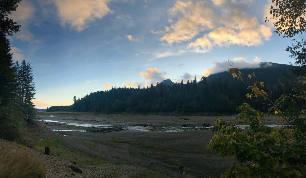
Tired of being wet, and uncertain of where (or if) the next campsite was, we cut down through the trees to the rocky lake bottom exposed by the low water levels. We took advantage of a sunny day to dry ourselves out and enjoy the open space and wide views of the mountains.
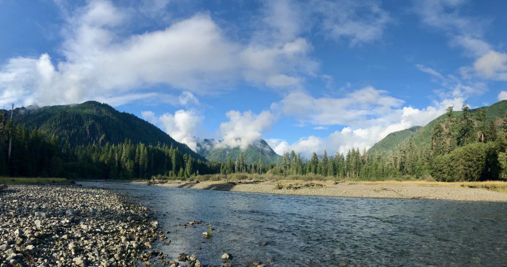
The trail has been washed out where it starts to wrap around the north end of the lake, so it diverts to Forest Road 2294. Signs will guide you back to the trail and the Wynoochee River Ford, or you can stay on the road and take the 4-mile loop past Maidenhair Falls. To get there, hike to where the Forest Road dead-ends at the Wynoochee River (there’s a campsite here) and then follow the trail to the left (upriver). The trail to the right has been closed due to washout.
Maidenhair Falls is less than a mile upriver. You can cross the river and view the falls on a wooden bridge, then loop back around to Forest Road 2270 (more campsites along the river here), which will take you back to the main trail on the east side of the lake. Truly, if you’ve come this far, the extra 4 miles is worth it as you get to see Maidenhair Falls and explore a free-flowing portion of Wynoochee River.
For those interested in even more, you can take Forest Road 2270 north for 2 or 3 miles to see the Wynoochee Falls as well.
Shortly after the Maidenhair Falls loop reconnects to the main trail, you’ll come to a fork where you can continue straight ahead or turn sharply to the left. A National Recreation Trails sign stands on the right side of the trail facing the left-hand fork. The main trail continues to the left, crossing a small stream and climbing up the opposite bank. If you continue going straight, the trail will bring you out to the water’s edge and my favorite campsite on the lake.
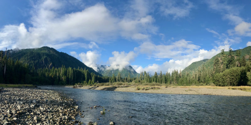
A giant tree stands in an open grassy area, made peculiar by the absence of all the other ancients that once stood nearby. I pitched my tent near the edge of the grassy bank with sweeping views of the Wynoochee River flowing from the mountains to the north to fill the reservoir to the south.
We kept our eyes open for more primitive campsites as we made our way south along the eastern shore of Lake Wynoochee. While we did stop for lunch at a cluster of car-accessible campsites, we decided to press on and hike all the way around the southern end of the lake to get back to the Chetwoot Campground, earning ourselves another rest day. The trail has plenty of ups and downs, some of which get quite steep, but overall it is not a difficult trail, and it is well maintained all the way around the lake.
Highway 101 passes right by three stunning lakes as it loops around the Olympic Peninsula in Washington, carrying visitors to Lake Quinault in the west, Lake Crescent in the North, and Lake Cushman in the east. But it doesn’t go anywhere near Lake Wynoochee in the south, and that makes this little gem worth all the effort.
Have you been to Wynoochee Lake? We’d love to hear about your visit in the comments below, and you can share your photos with us by joining The Clearwater Trekkers on Facebook. Thanks for reading. See you on the trail!
