


Recent Adventures
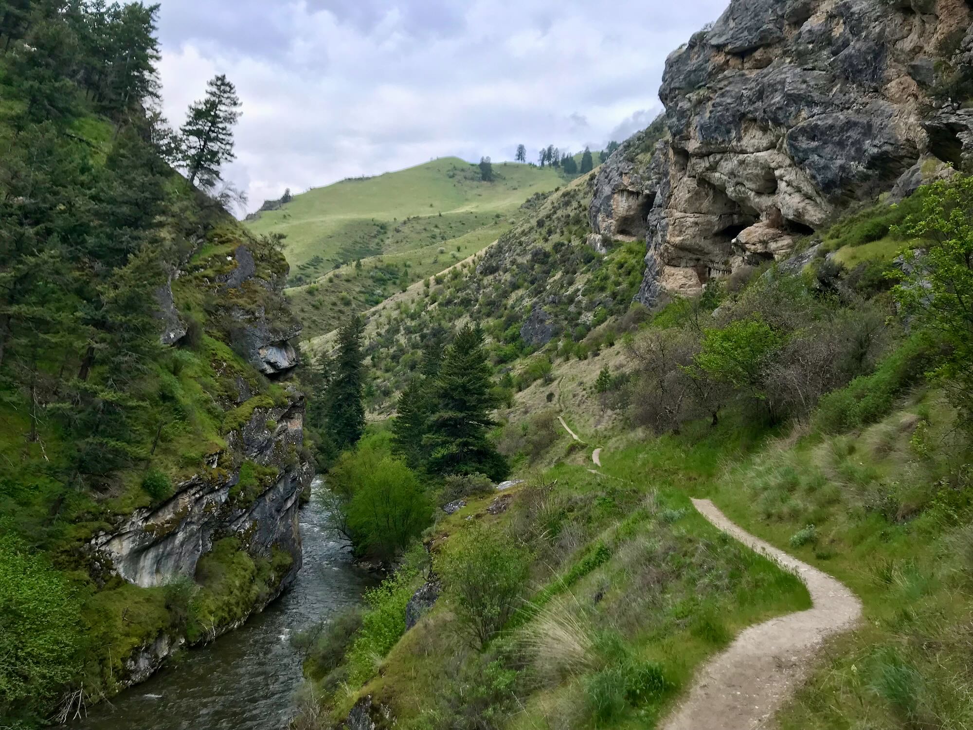
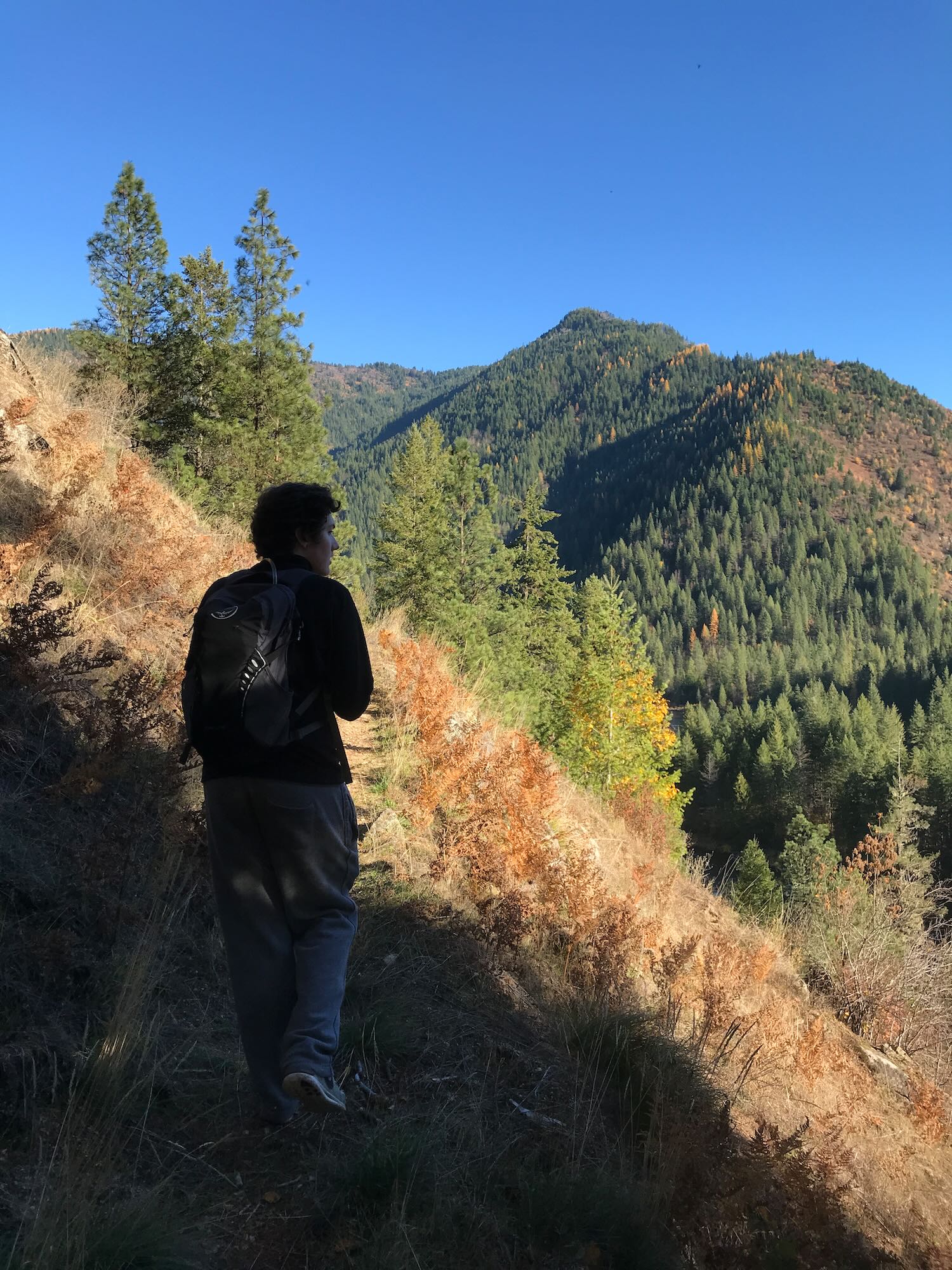
Hiking in to Cable Car Hot Spring
Difficulty: Very Difficult Best Seasons: Early Spring or late Fall to avoid brambles and snakes. Fees: None Google Map
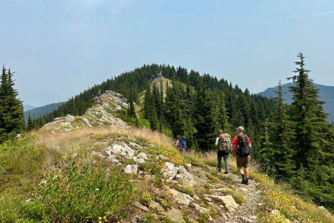
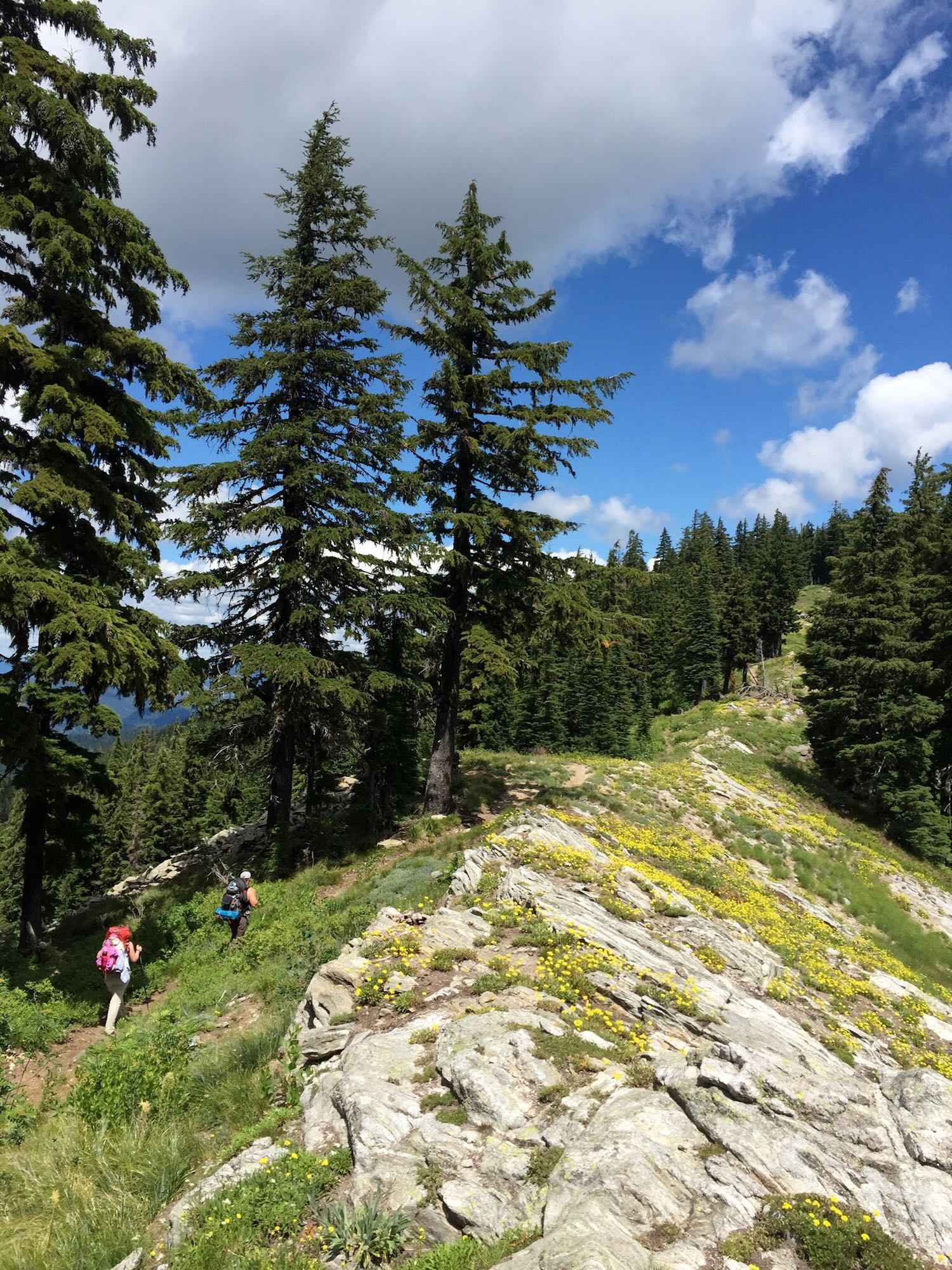
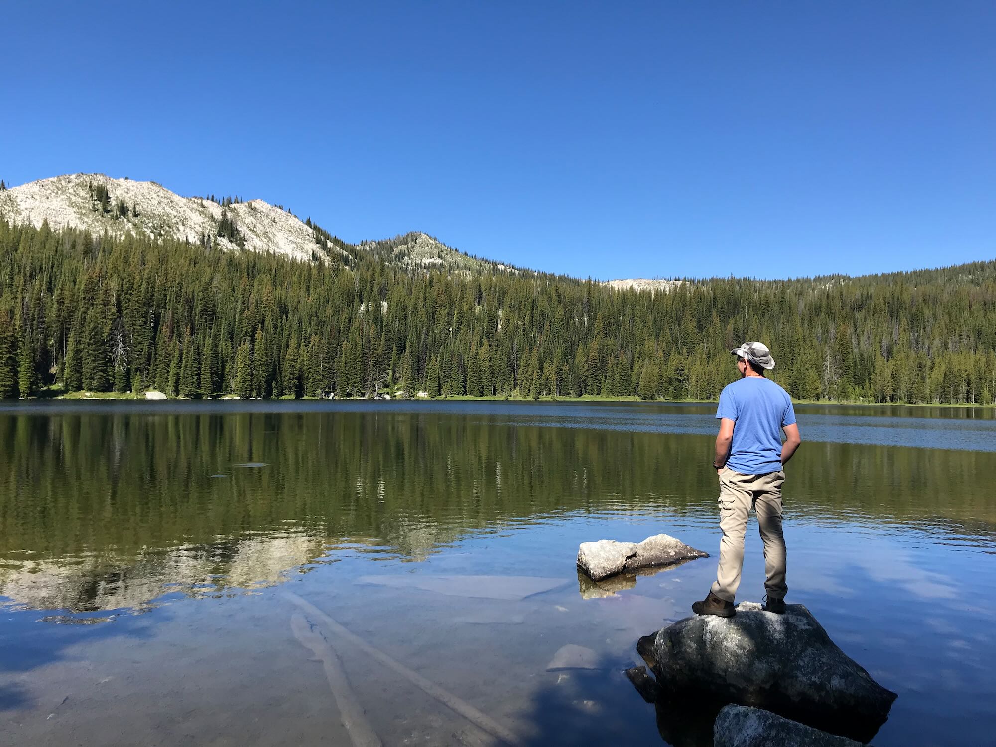
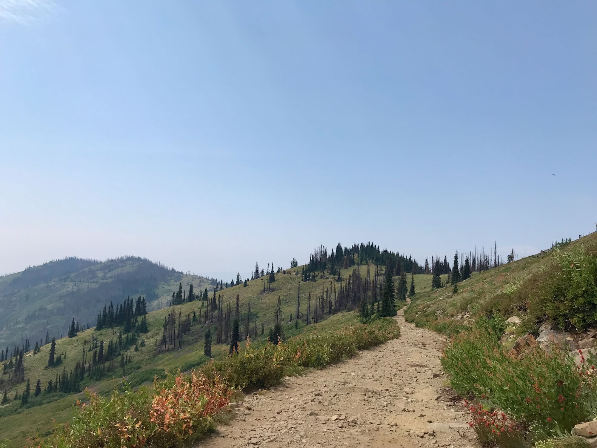
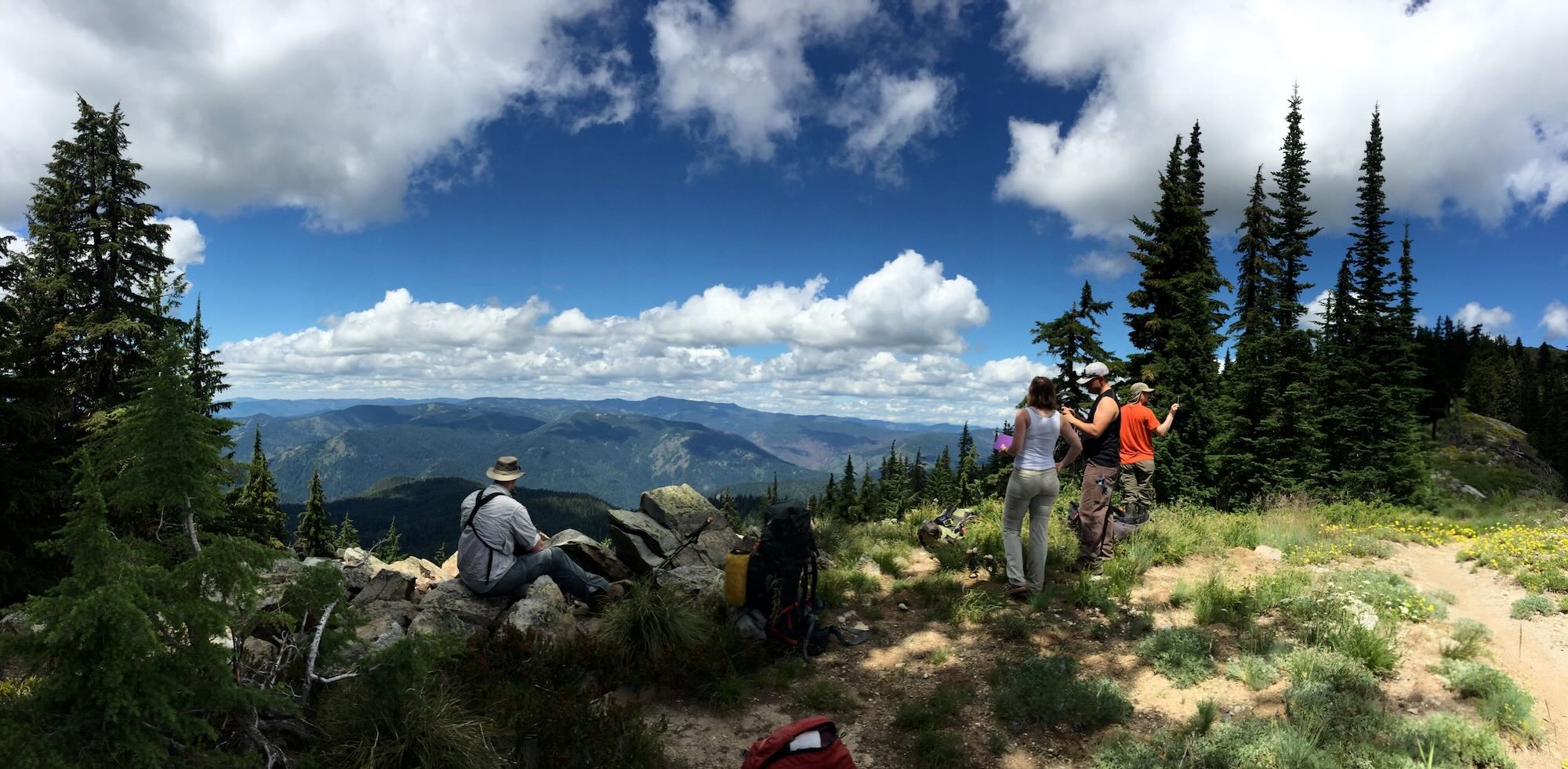
Trekking Smith Ridge Trail to Heart Lake
Difficulty: Moderate to Difficult Best Seasons: Mid to late summer Fees: None Google Map
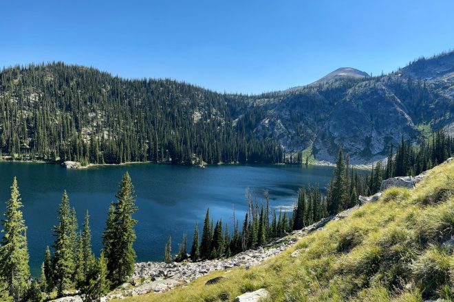
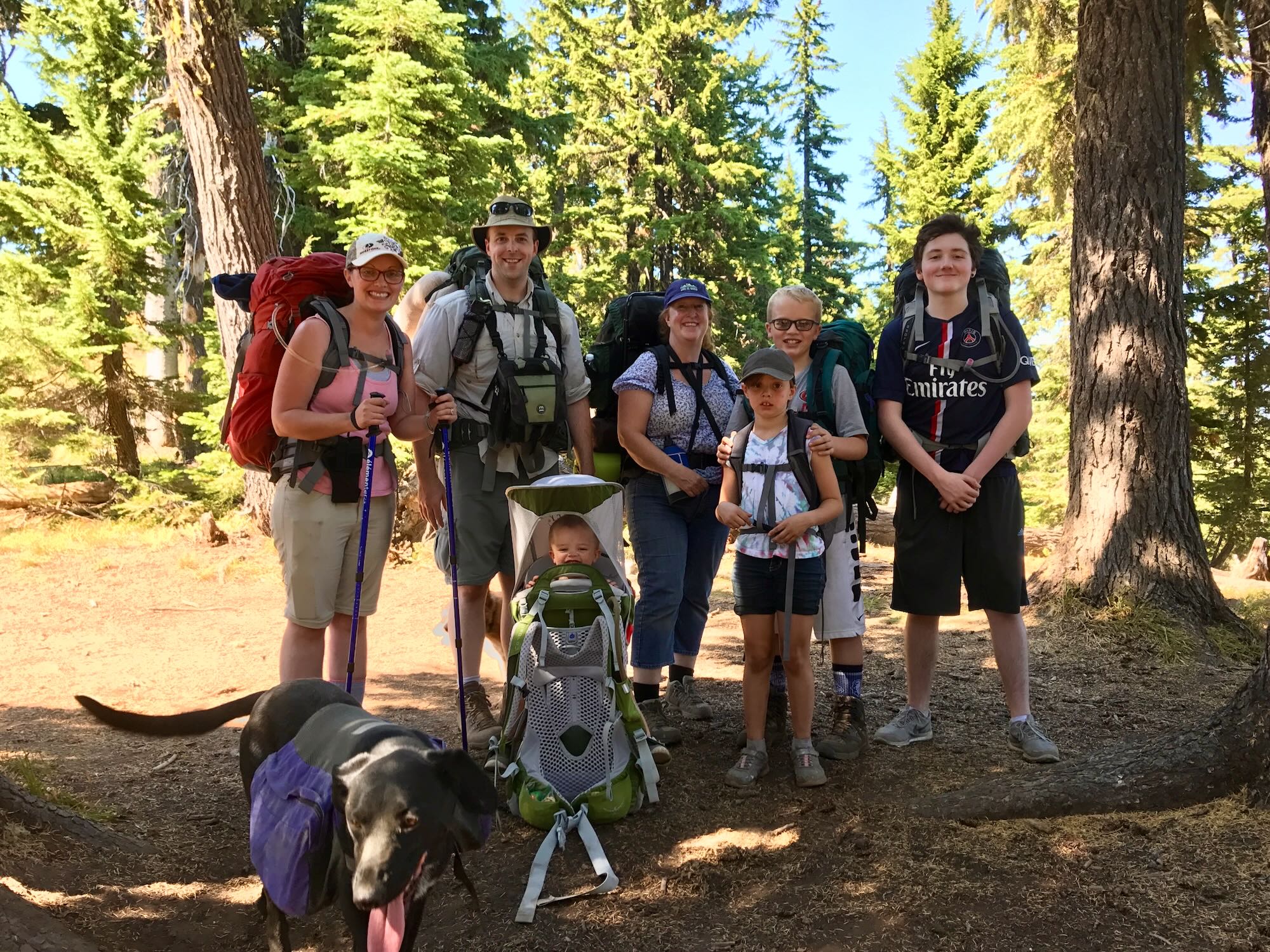
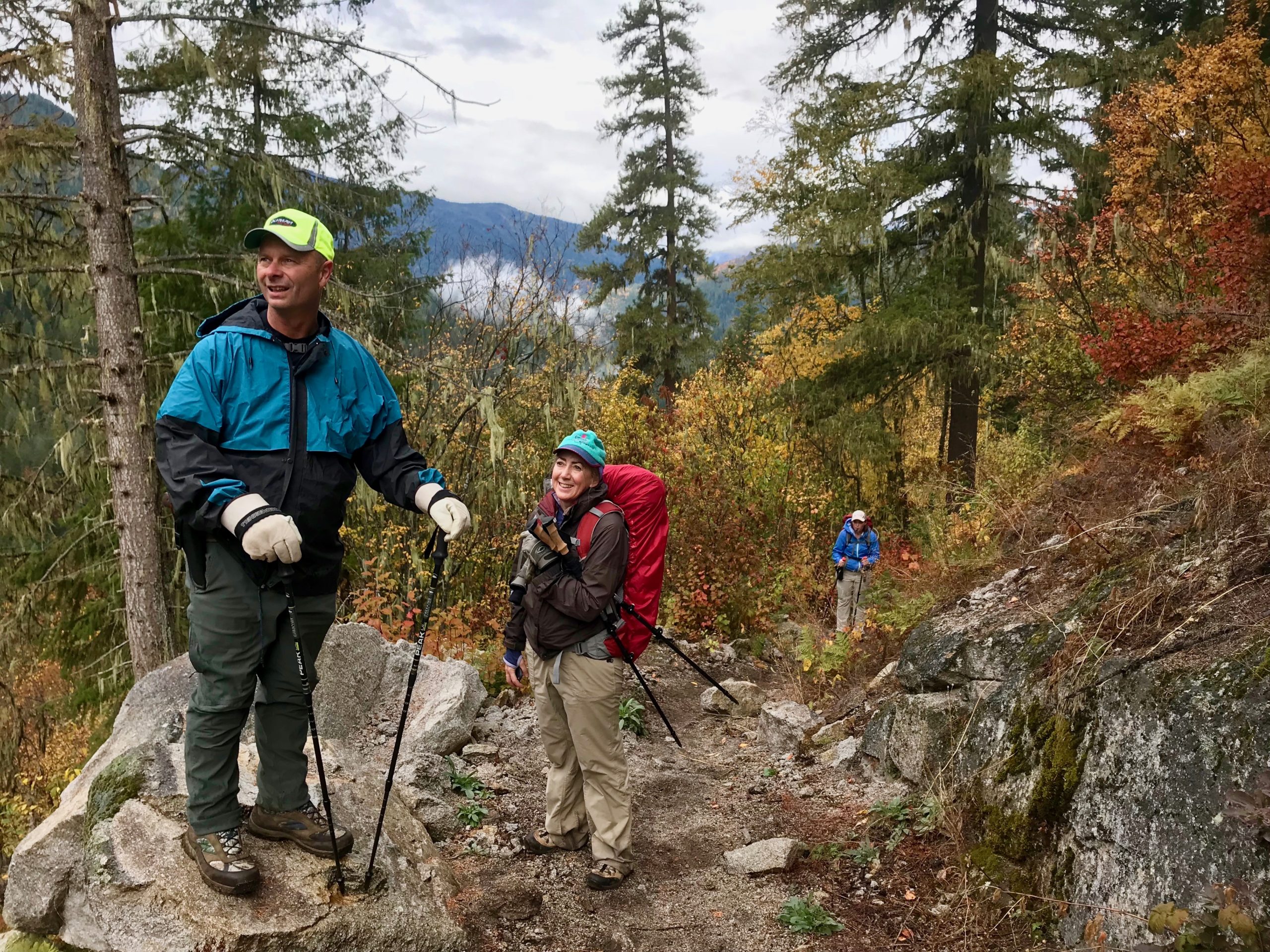
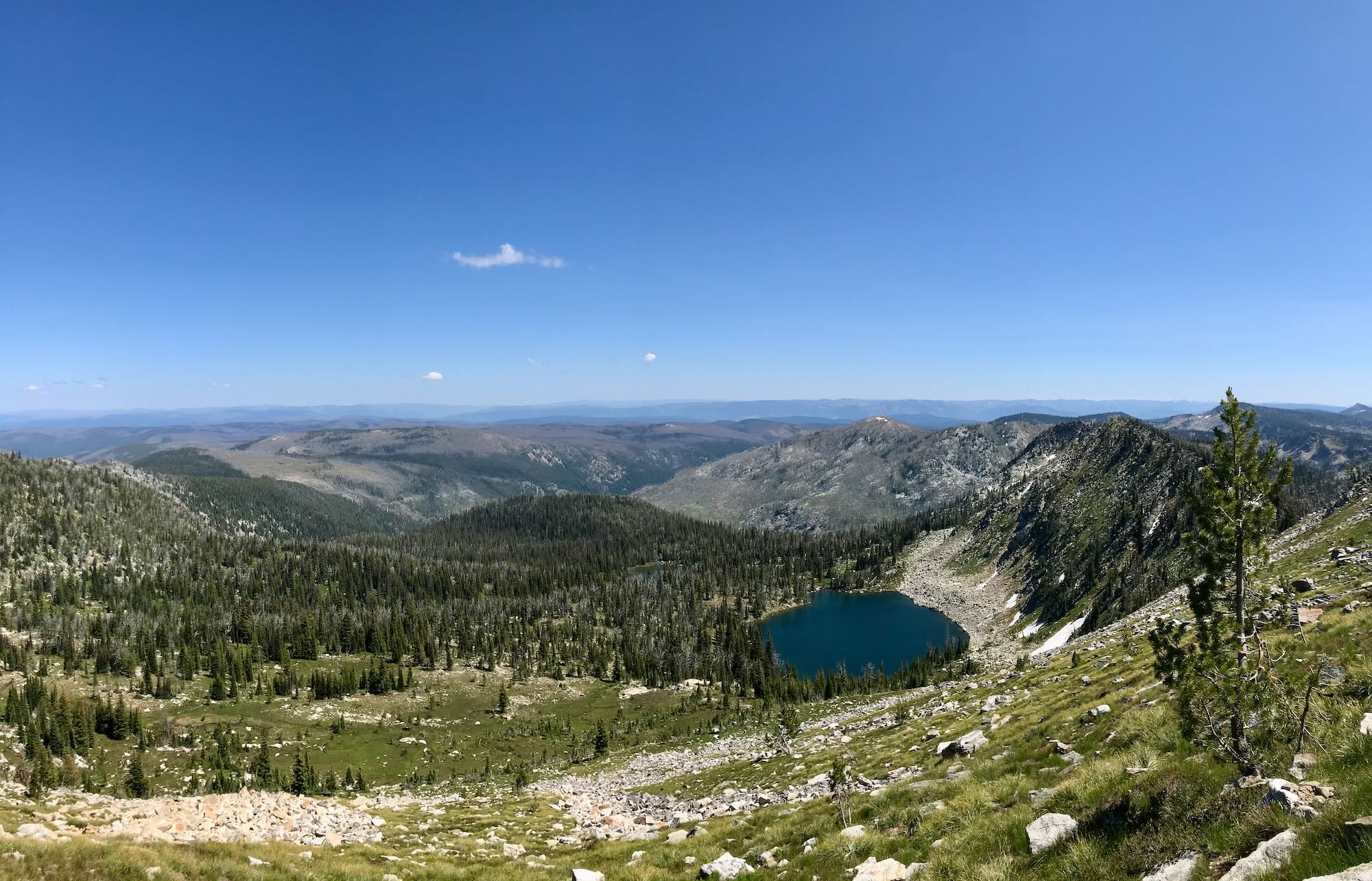
Conquering the Crystal Lake Trail Or did it conquer me?
Difficulty: Difficult Best Seasons: Mid to late summer Fees: None Google Map
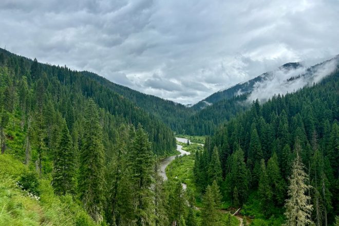
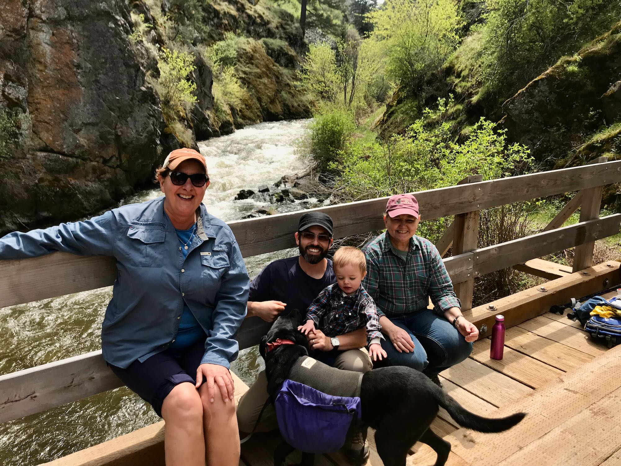
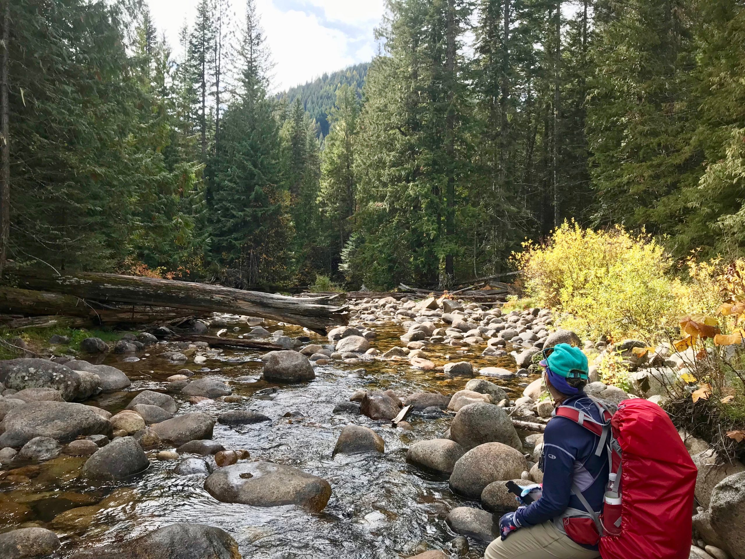
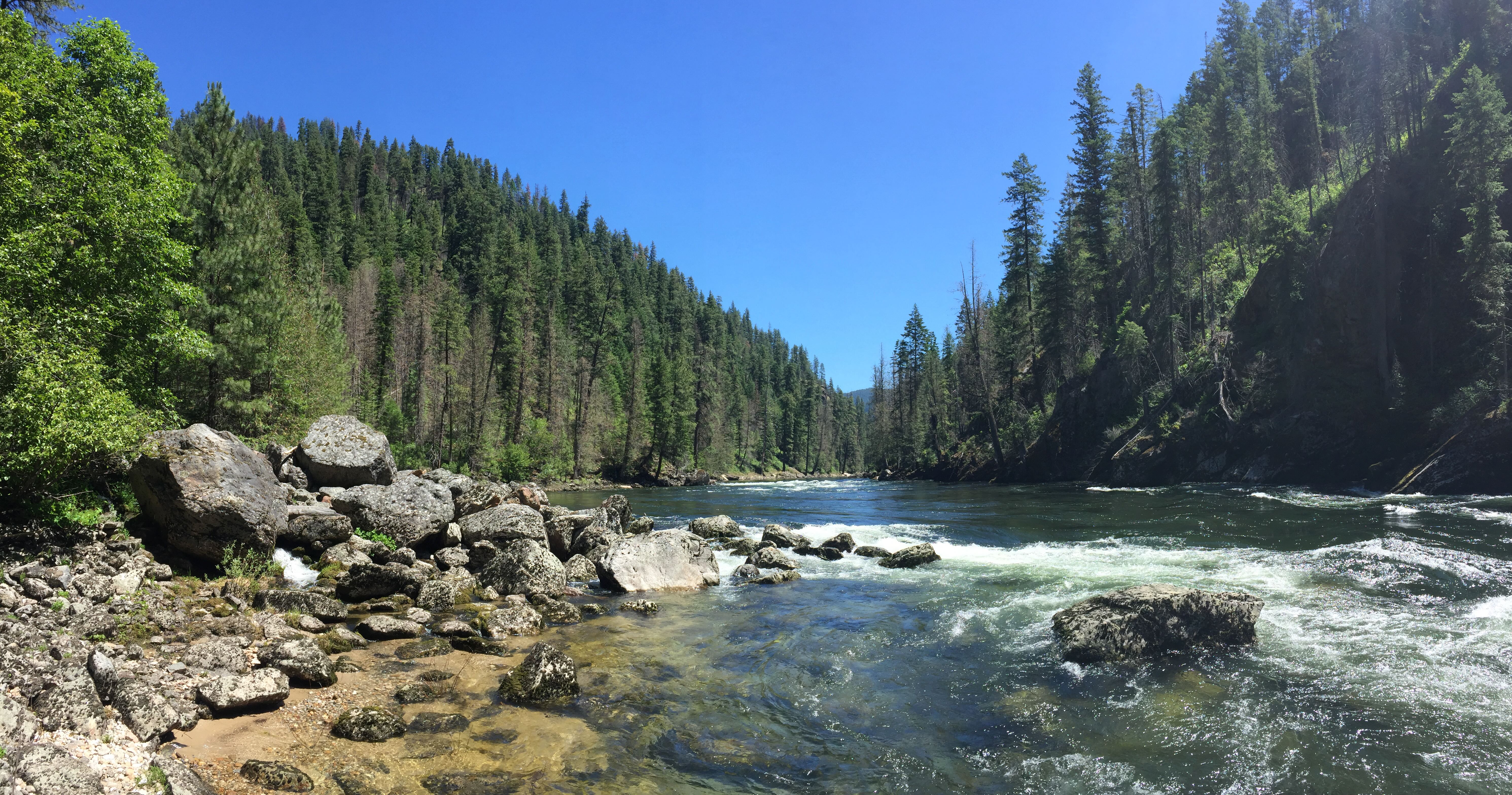
Weitas Creek Awash with Gratitude
Difficulty: Easy Best Seasons: Spring through Fall Fees: None Google Map
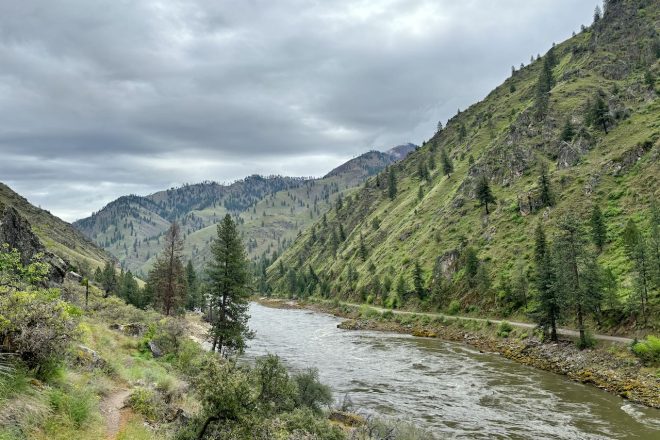
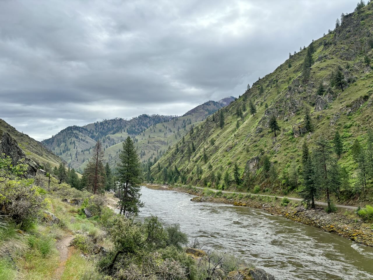
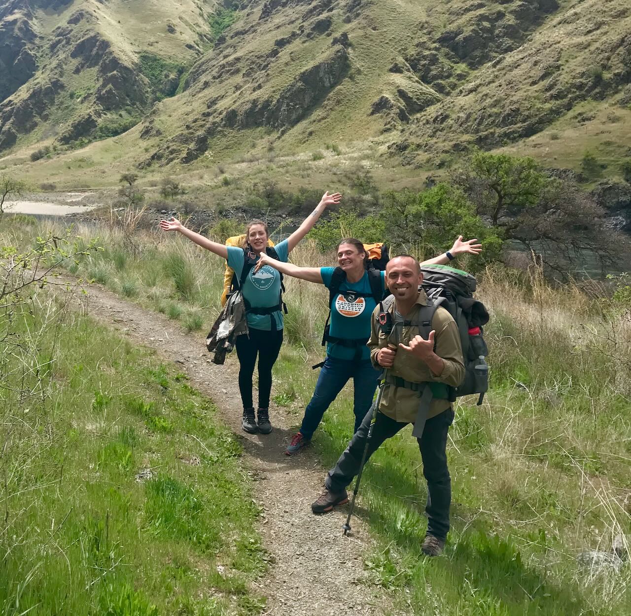
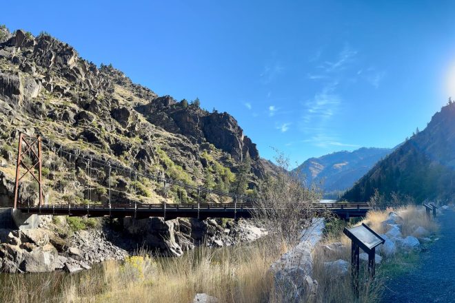
Our Lower Salmon River Adventure
Difficulty: Moderate Best Seasons: Spring & Fall Fees: None Photo Album
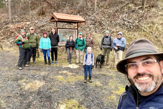
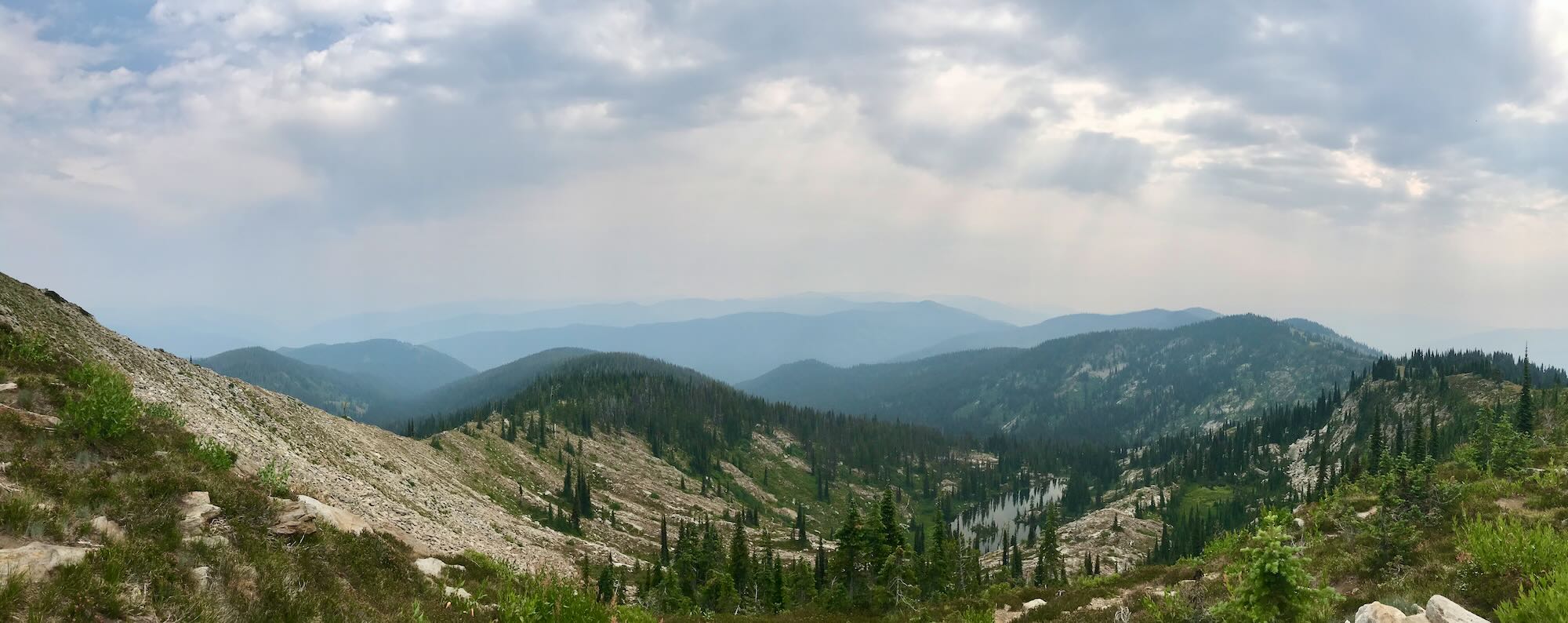
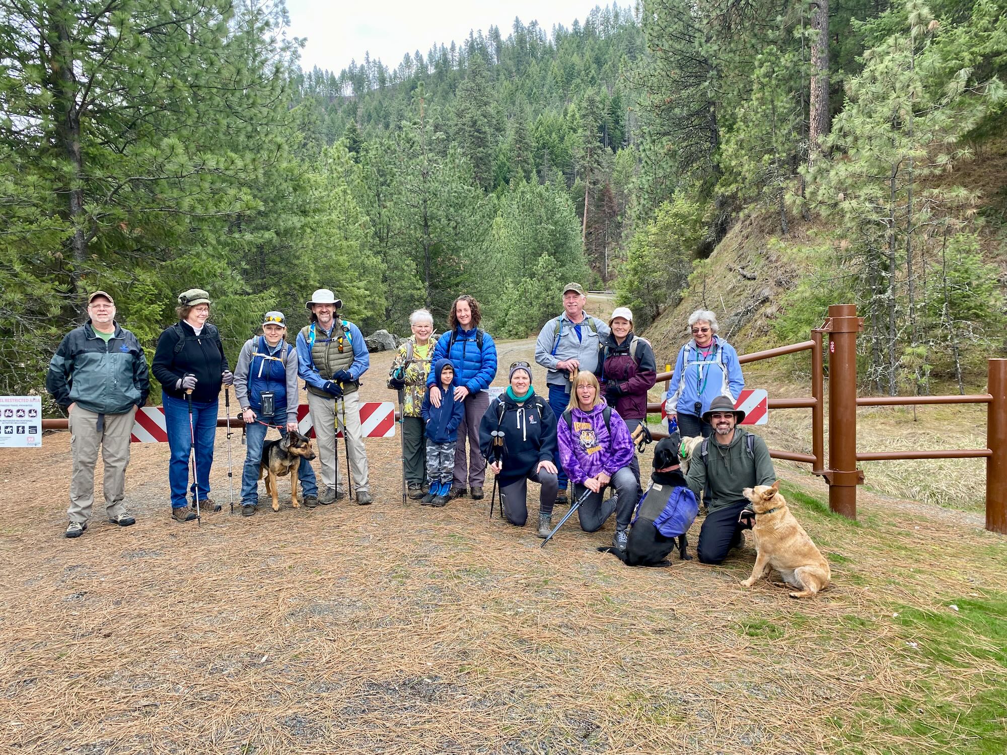
A Trail in the Making Exploring Canyon Creek and the heart of Clearwater Trekking
Difficulty: Easy to Moderate Best Seasons: Year Round Fees: None Photo Album
Photos