- Elevation
- Low: 600 ft
- High: 1000 ft
- Distance: 10.3 miles (one way)
- Difficulty: Easy to Moderate
- Best Seasons: Year round trail
- USGS Topo Map Quadrangles:
- Forest Service Trail Map: Skokomish Lower South Fork Trail #873
- Directions: Heading north on Highway 101 from Shelton, WA, turn left (west) onto Skokomish Valley Road. Follow it for 5.5 miles, then veer right onto Forest Road 23. Stay on FR-23 for 9 miles, then stay right onto FR-2353. Cross the bridge and take a left at the intersection onto FR-2340. Lower South Fork Skokomish Trailhead is .5 miles ahead. LeBar Horse Camp is 1 mile ahead.
- Helpful Links:
- Fees: Northwest Forest Pass
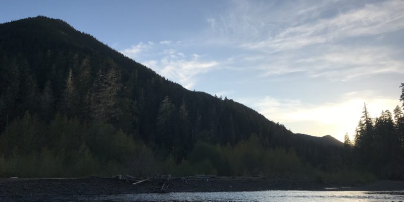
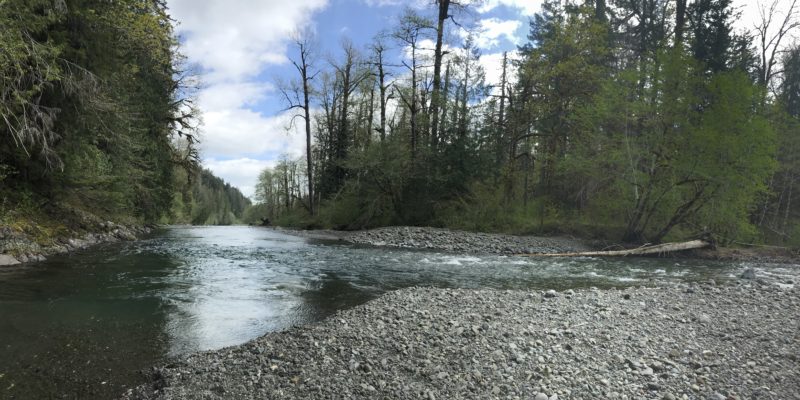
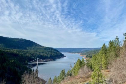
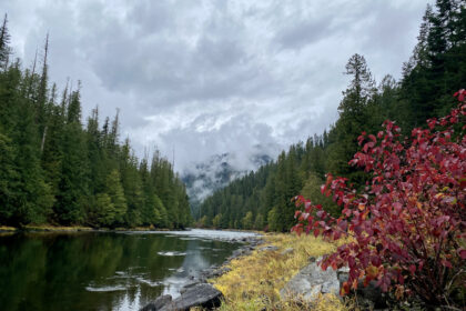
It was a beautiful end to the season, which was fitting because the Lower South Fork Skokomish River Trail is where the season opened this year for Rites of Passage Wilderness Therapy. And here I was, wrapping up my own 2019 season with ROP, swimming laps in the river beneath a warm summer sun and gazing up at the mountains and trees all around me. Little did I know I’d be back on this very trail in a week for a surprise Fall stretch of the season, but this time I was enjoying Washington’s specialty: rain. Known affectionately by the locals as “liquid sunshine.”
The Lower South Fork Skokomish River Trail (#873) is a favorite for ROP because it’s really close to our headquarters, the Ranch. If you’re headed north on Highway 101 near Shelton, WA (on the east side of the peninsula), take a left on Skokomish Valley Road just past Brockdale. Follow it for five and half miles, then veer right onto Forest Road 23 (also known as West Govey Rd). Take FR-23 for 9 miles, then stay to the right on Forest Road 2353 to cross the bridge over the river. Turn left at the four-way intersection onto Forest Road 2340. The trailhead is less than half a mile down the road, but we like to drive an extra half mile up to the LeBar Horse Camp. It’s a little quieter up there for drop off and pick up, and it skips the aggressive uphill switchbacks that greet you at the lower trailhead.
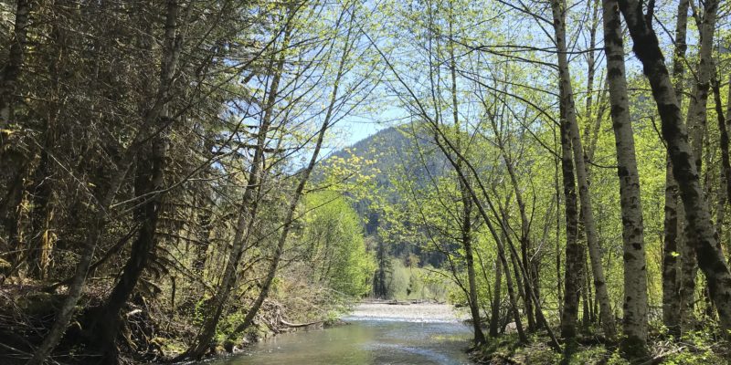
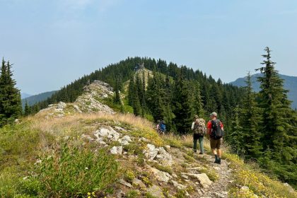
From LeBar, you’ll climb a small uphill switchback and then drop down to the river. While the trail mostly meanders alongside the river with minimal elevation gains, there are still plenty of ups and downs and some steep climbs that’ll make you feel the burn in your legs and lungs alike. It’s a great trail for the whole family and hikers of all levels. It’s also favored by runners, bikers, and equestrians, too.
The Lower South Fork Trail runs for about 10 miles before connecting to the Upper South Fork Skokomish Trailhead, and when the season’s right, you can pick berries the whole way. Huckleberries and blueberries line the trail, and blackberries and Oregon Grapes cover parts of the forest floor. Watch out for the Oregon Grapes, though, they are tart!
Personally, I think the trail gets better the farther along you go. It becomes more rugged, you have to ford the river, and there are a couple of shelters where you can rest along the way. The last couple miles of the Lower South Fork wanders through some beautiful old growth forest with red-tinged soil. It was majestic, and I only got to see that stretch upon my return when I hiked it in the rain.
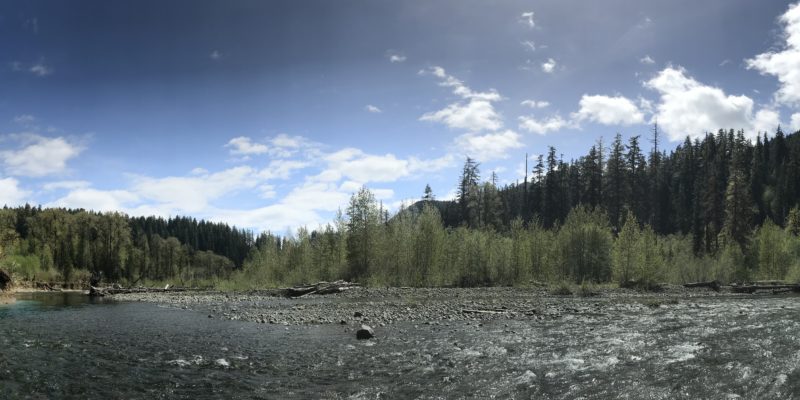
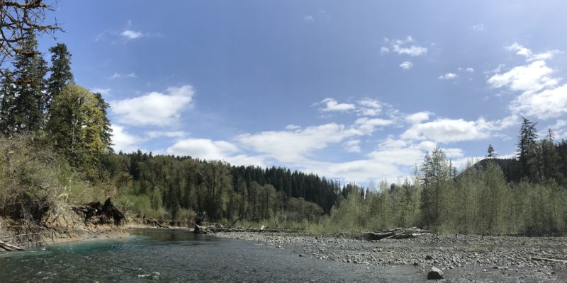
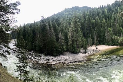
You can stay on Forest Road 23, then veer right onto FR-2361, and drive right to the Upper South Fork Trailhead, or cut in at the Church Creek Shelter Trailhead. I imagine the trail only gets better the farther north you go into the mountains; however, my favorite swim hole is still just a mile in from the LeBar Horse Camp at this one bend in the river where the trail washed out some time ago. You can see it from the trail, and it’s totally worth the effort to take a dip.
I’ve hiked the Lower South Fork Skokomish River Trail 4 times now. Some of my most intense moments with ROP this season have happened on this trail; from detoxing to runaways, hike strikes to vision quests, from heart-felt conversations to stonewalled silence, and sunlit swims to starlit dances, there’s something about this trail that fills the soul.


