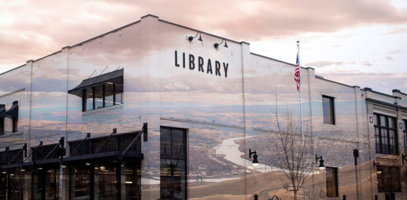
Canyon Creeks & Messy Burgers Hiking Redbird Creek Trail, ending at the Waha Bar & Grill
Difficulty: Moderate to difficult Best Seasons: Early spring or late fall Fees: None Downloadable Map: Craig Mountain Wildlife Management Area
Elevation Low: 2522 ft High: 2962 ft Distance: 3 miles Difficulty: Easy Best Seasons: Spring – Fall (Snowshoeing in Winter) Maps: Gaia Route FS Topo Fees: Free Directions: From Lewiston, take Highway … Read More
Elevation Low: 3163 ft High: 3301 ft Distance: 4 miles Difficulty: Difficult Best Seasons: Winter Maps: Gaia Track Forest Service Page Google Maps Fees: Free Directions: From Lewiston, take Highway 12 east past … Read More
Elevation Low: 2,880 ft High: 3,641 ft Distance: 1.5 miles to summit Difficulty: Moderate Best Seasons: Year-round Maps: Gaia Maps Track Fees: Free Directions: From Lewiston, Idaho, take Highway 95 north to the … Read More
Difficulty: Easy to moderate Best Seasons: Late spring to early fall Fees: None Downloadable USGS Topo Maps: FS Topo Gorman Hill (Trailhead) FS Topo Toboggan Ridge (Hanson Meadows)
Daryl and I did time together. He was a correctional officer at the Idaho Correctional Institution – Orofino while I was serving there as a Volunteer and Religious Services Coordinator. … Read More
When I first began as a wilderness therapy field guide, my pack was down-right full and heavy, but over time I was able to dial in my essential gear and … Read More
Elevation Low: 1760 ft High: 1934 ft Distance: 10 miles Difficulty: Easy to moderate Best Seasons: Spring to Fall Maps: Selway_Falls_460011515_FSTopo.pdf Fog_Mountain_460011507_FSTopo.pdf Fees: None Directions: Take Highway 12 east past Kooskia … Read More
I decided to have a little fun with a video post this time showing what and how I’m packing for our Seek the Clearwater Discovery Trek this weekend on the … Read More