Details
- Date: Saturday, June 7, 2025
- Meet Up: Old Kooskia Weigh Station
- Time: 7:45am
- Trailhead: O'Hara Creek Trailhead
- Time: 9:00am
- Fees: Free
- Contact:Todd Holcomb
- Phone: 208-704-9739
- Email: todd@clearwatertrekking.com
Map
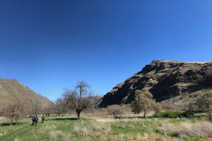
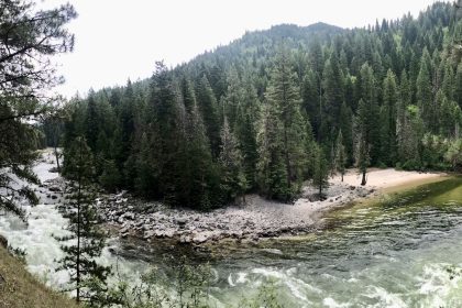
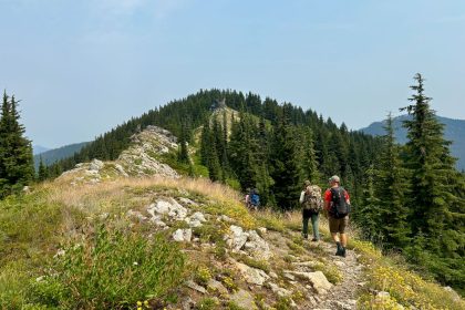
One of our own, Dan Lynch, has spent the last few years personally clearing and maintaining the O'Hara Creek Trail, so, it's high time the Trekkers got out and explored this rugged strip of beauty just south of the Selway River.
The trailhead is naught but a wide strip of dirt and grass on a sharp corner of Forest Service Road 651, about 4 miles south of the O'Hara Creek Campground. There won't be room for a lot of cars, but we can carpool from our meet up spot at the Old Kooskia Weigh Station. Or we might be able to park cars at the campground and carpool to the trailhead. Feel free to set up other meet ups in Lewiston or Orofino if that helps.
Dan has done a lot of work to clear this trail, but we should still come prepared for rugged terrain and even 4 log crossings over the creek. The plan is to hike four miles out along the trail to the junction of the East and West O'Hara Forks at the base of Iron Mountain. Check out the Gaia Map below for details. Accuweather says it could be 67℉ and sunny in Lowell on June 7th, but where have we heard that before? Keep an eye on the weather and come prepared for it to change.
Typical gear list: lunch and snacks, water, sturdy shoes, layers to accommodate the weather, hiking poles, a small first aid kit, and a sense of wonder and curiosity. You'll be good to go.
See you on the trail!