


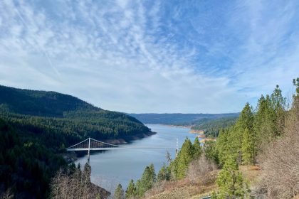
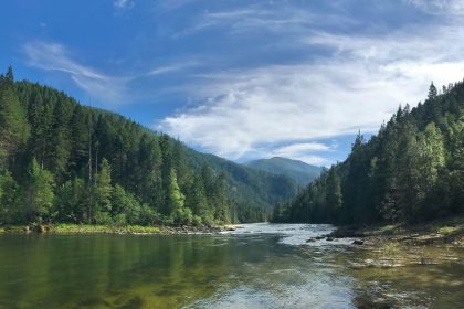
It’s understandable why this portion of the Clearwater River along Highway 14 doesn’t get as much attention as the Lochsa or Selway might. It’s much more narrow and rocky, so you won’t see any floaters on it. There aren’t as many access points for fishermen, either. And it’s kind of dark in that steep, narrow canyon. I’m sure the locals like it that way just fine, too.
But if you’re willing to make the drive, this highway will take you deep into the heart of wilderness, and there are adventures to be had here. Elk City, an old mining turned lumber town, hides out here, and an hour past that is the Red River Hot Springs resort where you can settle in after a hard day of exploring with a hot soak and a cold brew.
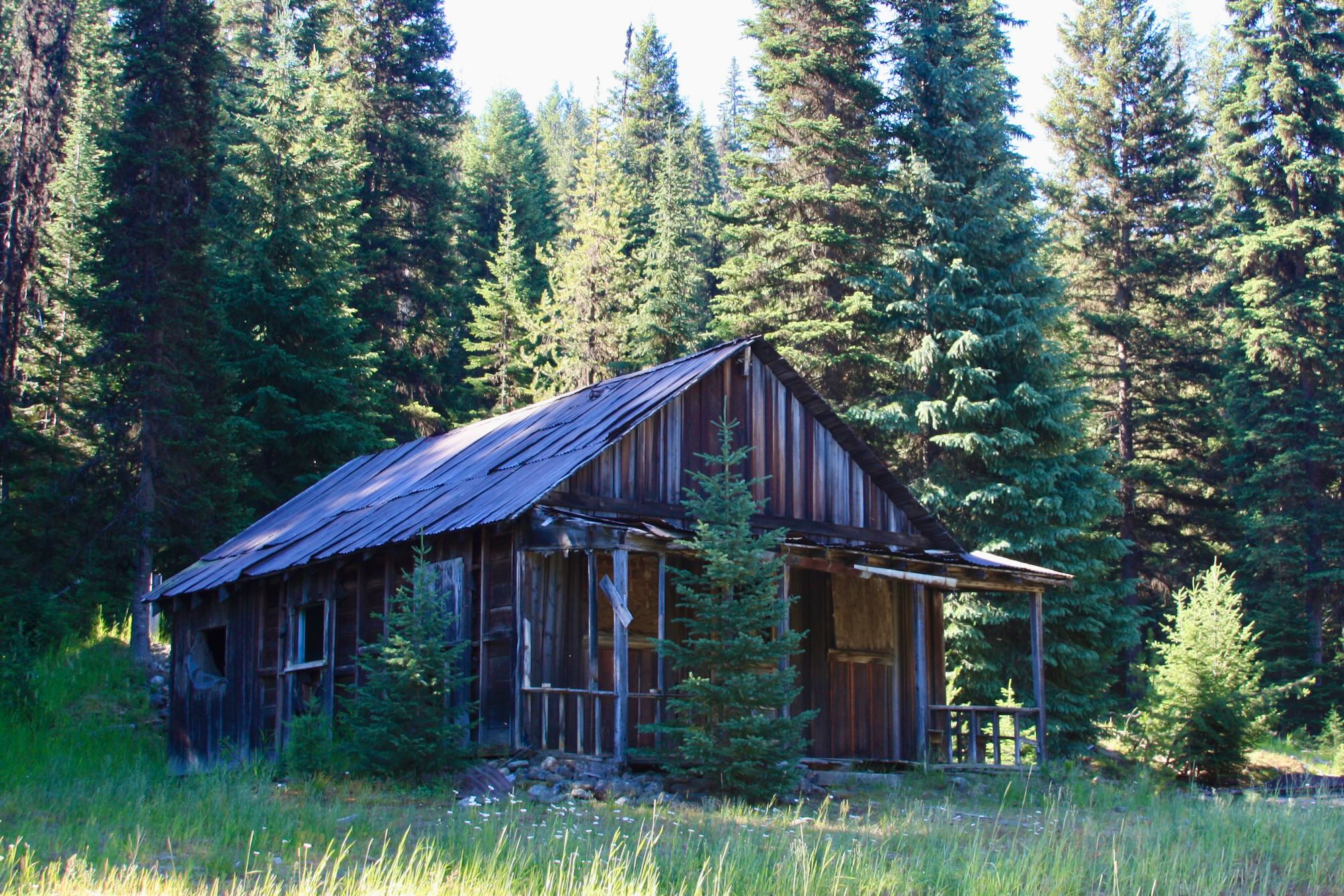
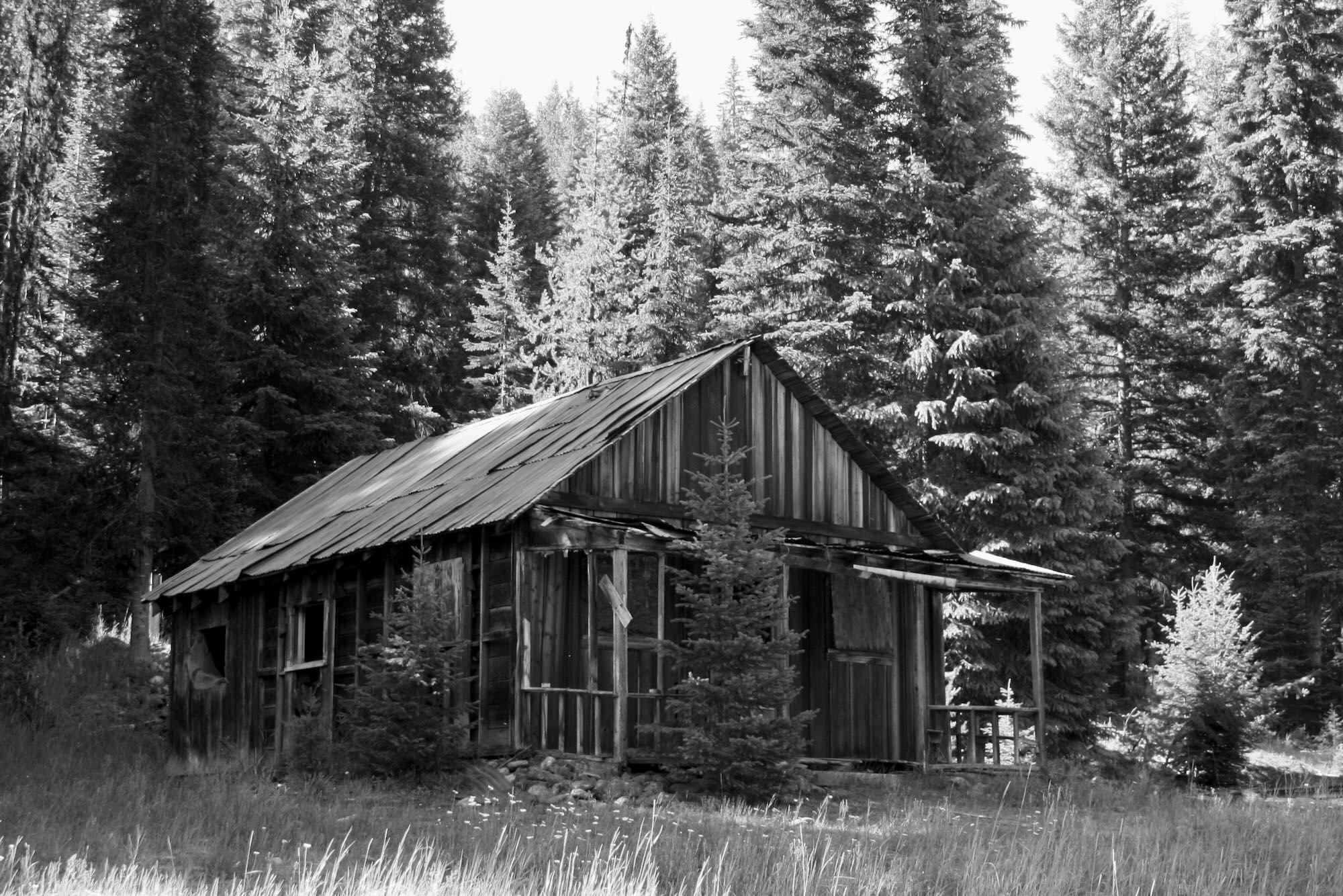
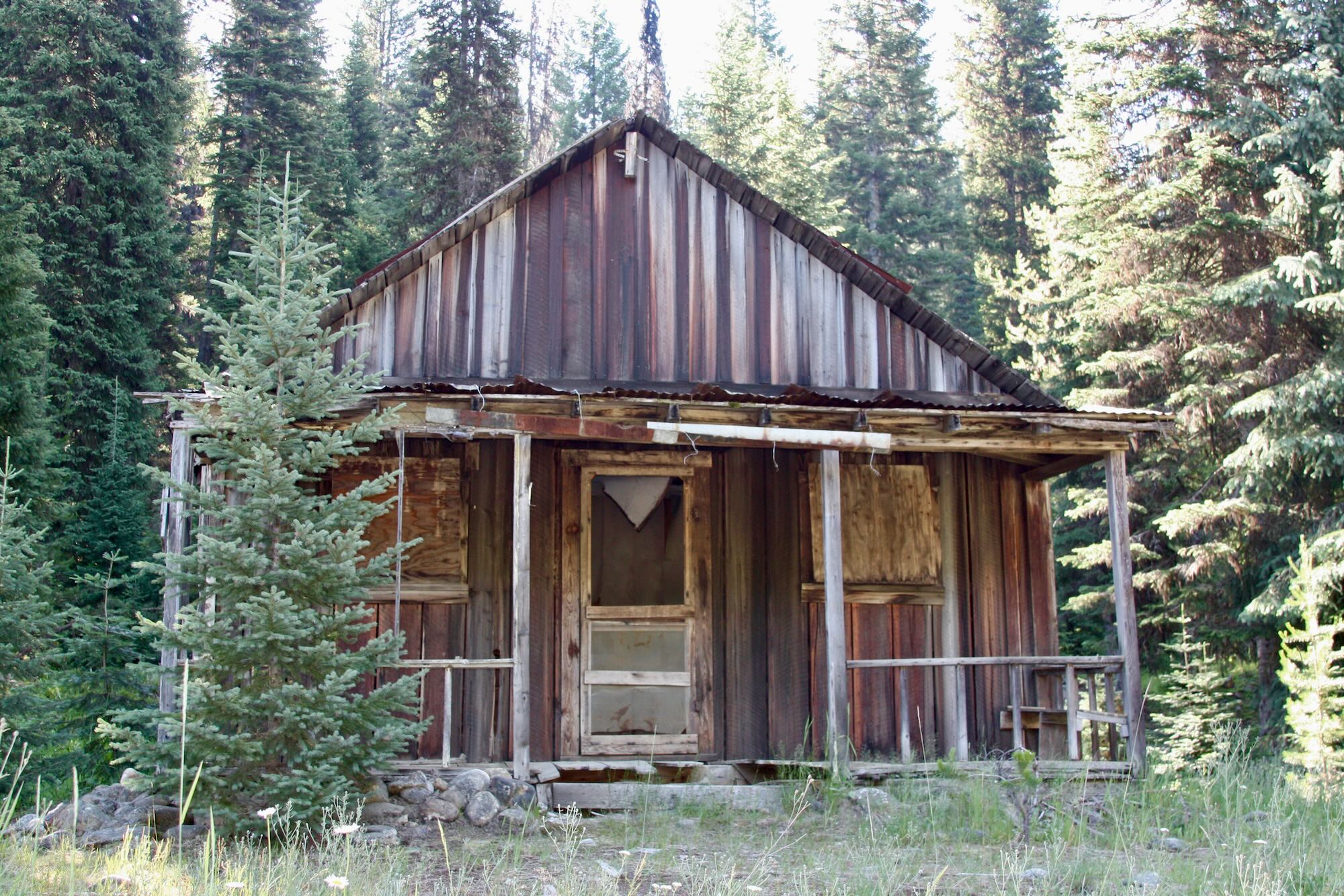
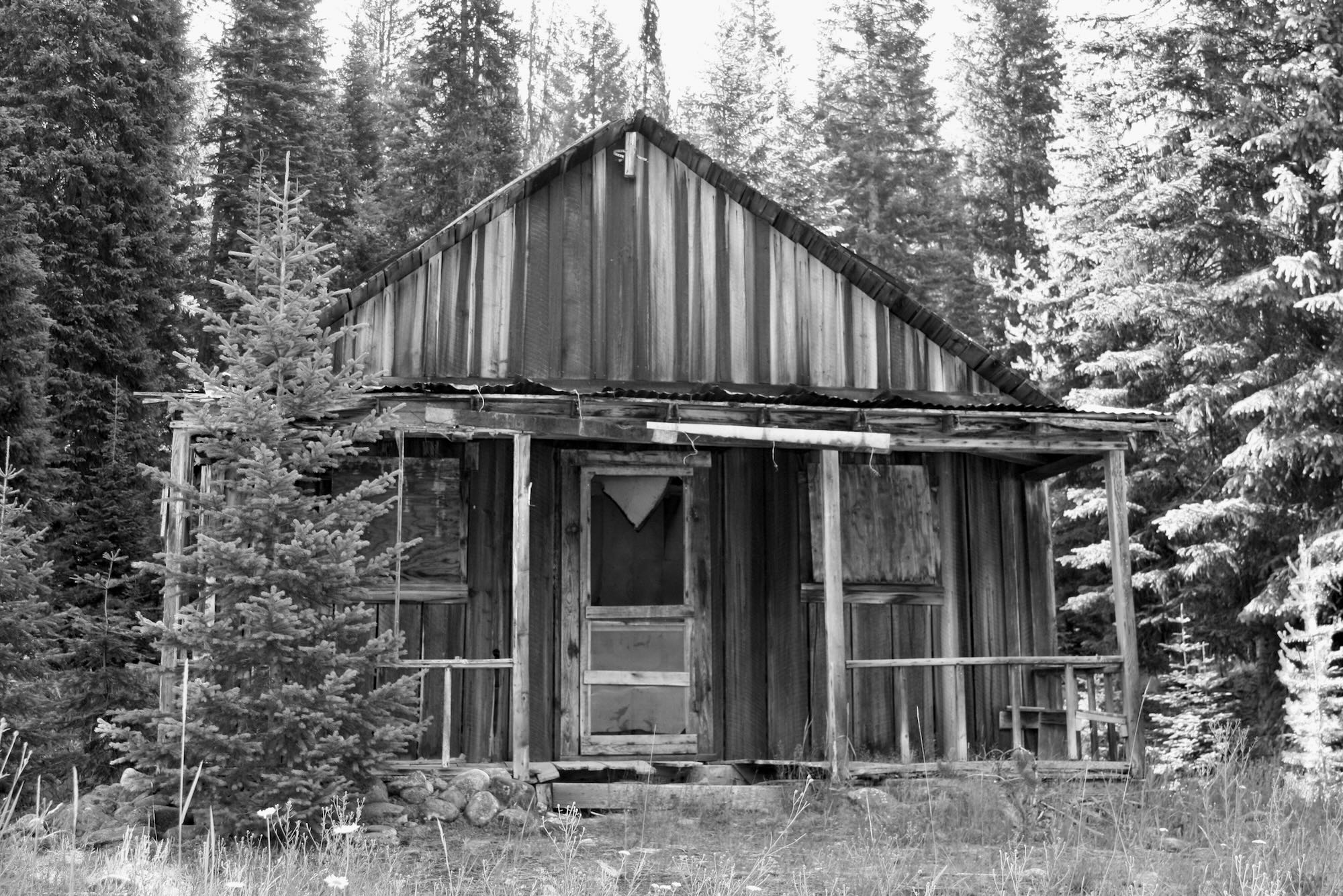
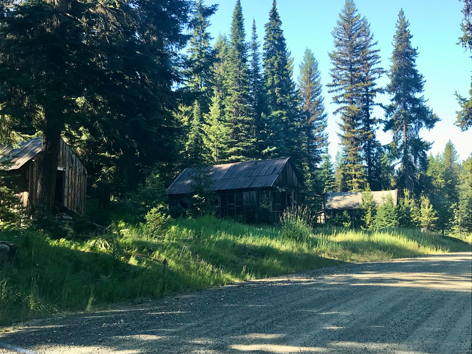
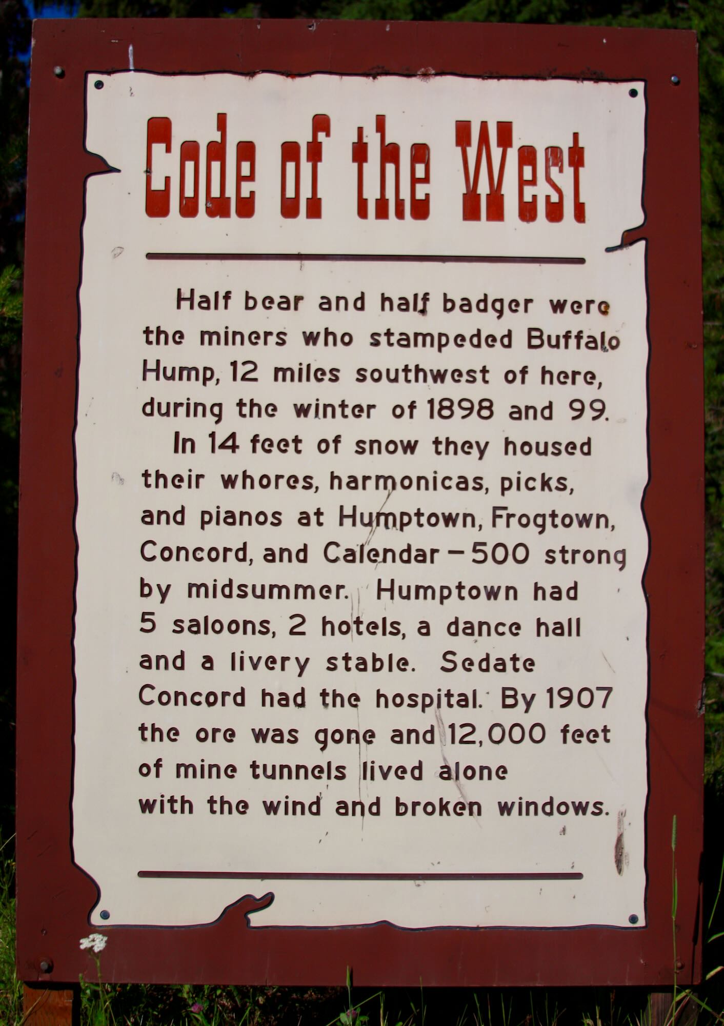
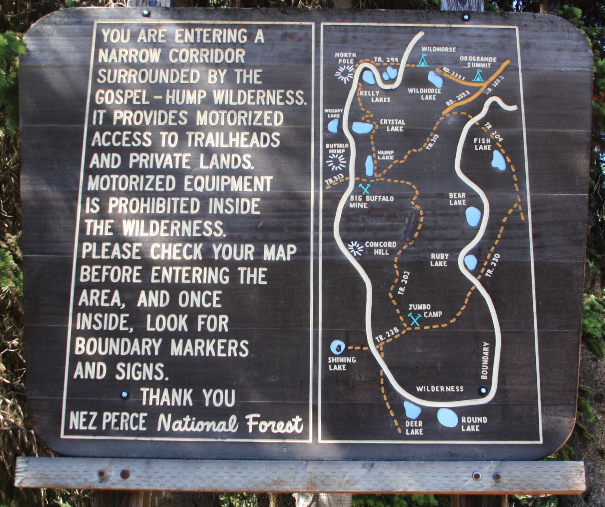
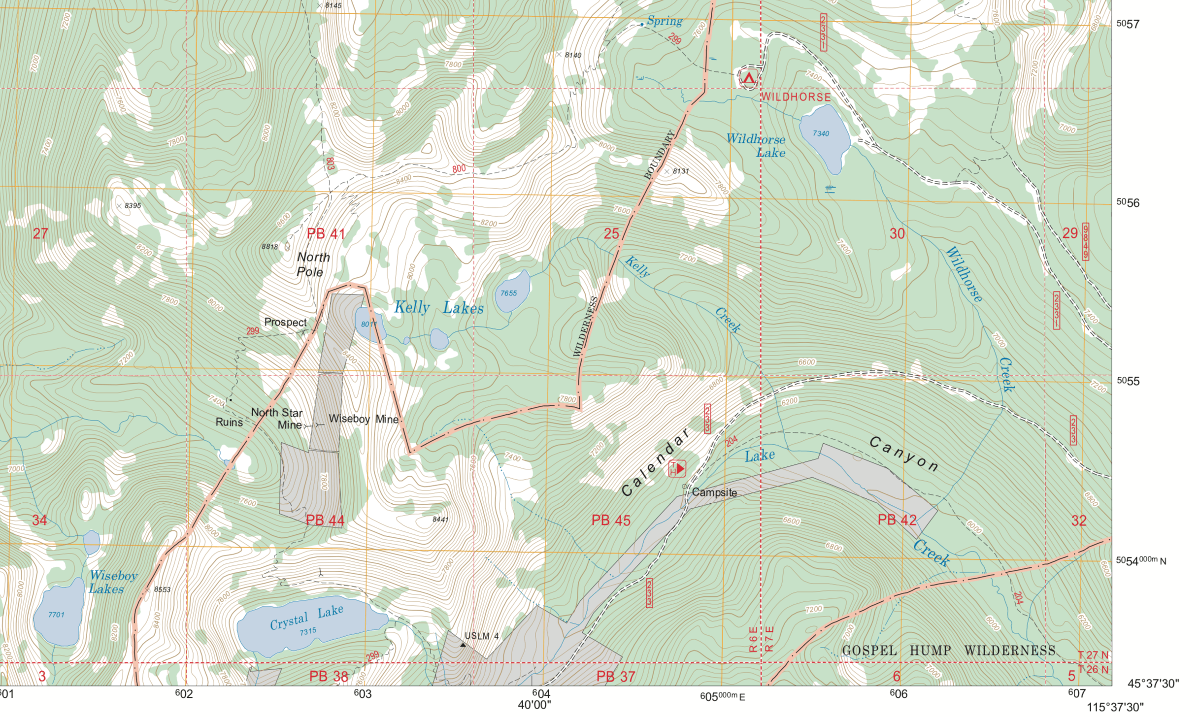
Our adventure took us south of Elk City along the Crooked River Road, past the old mining town of Orogrande (Oro Grande, back in the day) and the eponymous summit to the Wildhorse Lake Campground. Crooked River Road is a decently maintained dirt road until just past the intersection with the Orogrande-Dixie Road, AKA NF-311, where a sign warns you of the rocky, rutted road ahead. Especially up around Wildhorse Lake it was like driving on the bottom of a riverbed. Large, protruding rocks and deep ruts kept us in low four-wheel drive.
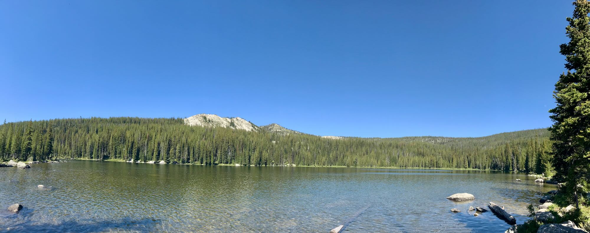
A few trick turns do not show up on the Nez Perce National Forest Map, either. The first is a four-way intersection where the road your on splits into three different directions. The two lanes on the left actually merge back together a few yards down the road and continue on to the Wildhorse Lake day use area. No camping is allowed there, but you can fish the day away and wander around the lake. There’s a port-a-potty, too.
The lane on the far right is the one you want to take to get to the campground and Crystal Lake Trailhead. The road gets really rough here.
The next intersection you come to is the beginning point for the Wildhorse Campground loop. A Forest Service sign lets you know you have arrived at the campground but doesn’t tell you which way to go. We turned right toward an information board we could see just down the road. This took us right to the trailhead. On the way out, we looped around the campground to see the sites and came out at this intersection.
The Wildhorse Campground has six first-come-first-serve sites, each with tables and fire rings, and a couple of port-a-potties. Sitting about 100 feet uphill and through the woods, there is no easy lake access from the campground. Marshy meadows scattered about the area make for pleasant hiking, open views of the surrounding peaks, and a pristine environment for breeding mosquitoes. They were prolific, to say the least.
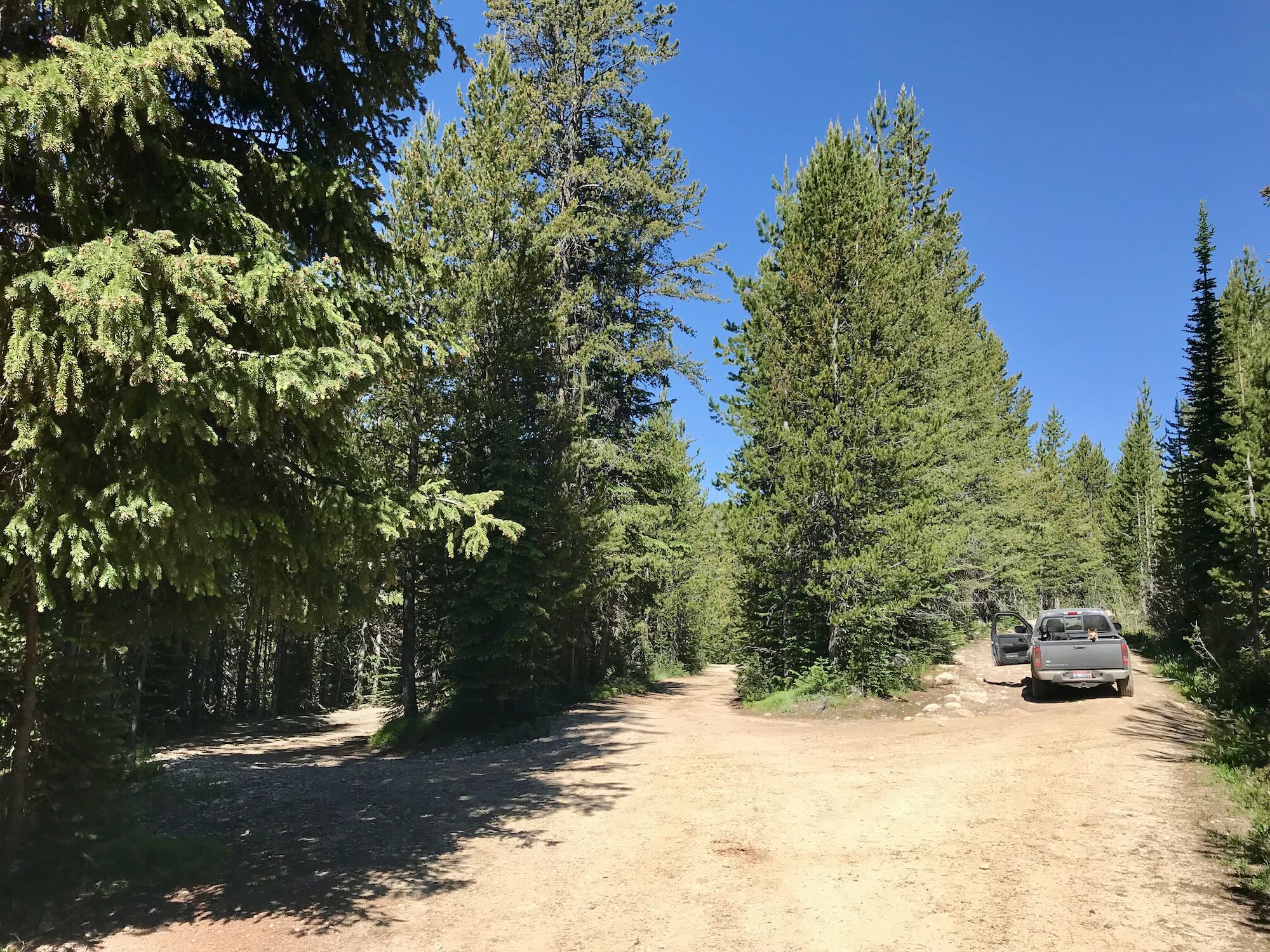
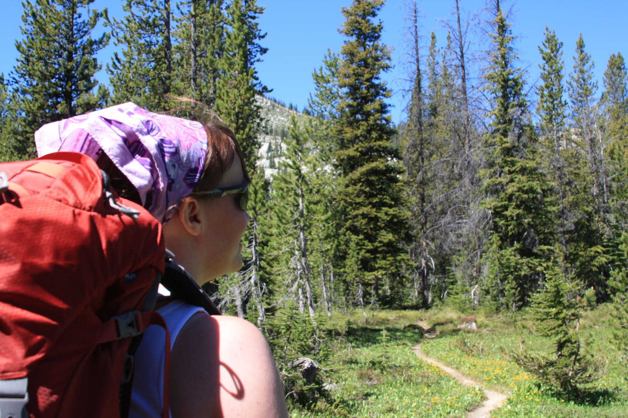
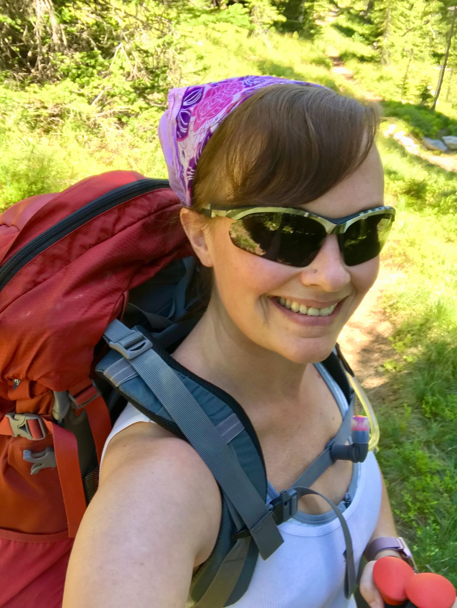
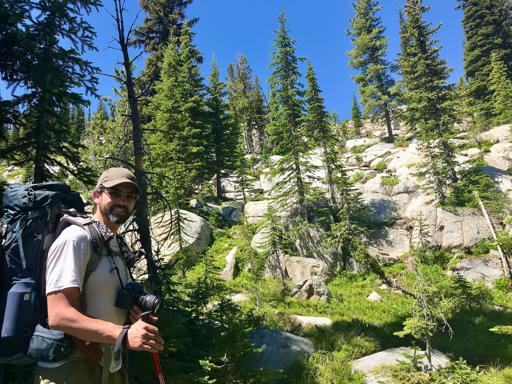
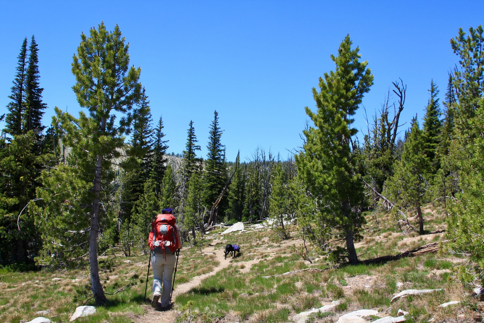
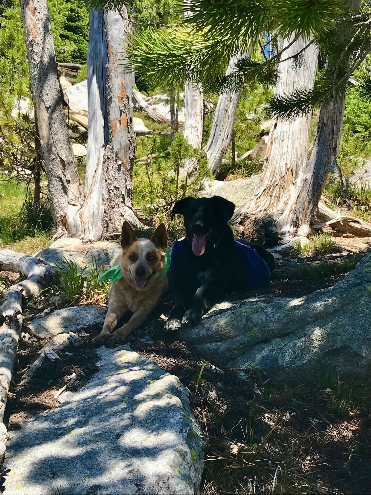
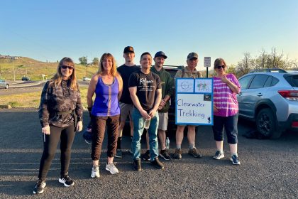
We pulled into the parking area next to the trailhead and unloaded from the pickup. The dogs were more than ready to get on the trail, and so were we. We had seven miles to cover of terrain we had never seen and it was already close to eleven o’clock in the morning. The trailhead is maybe two and half hours from Grangeville, but we had taken our time getting pictures and chatting with some friendly folks at the Wildhorse Lake day use area. It was time to get moving.

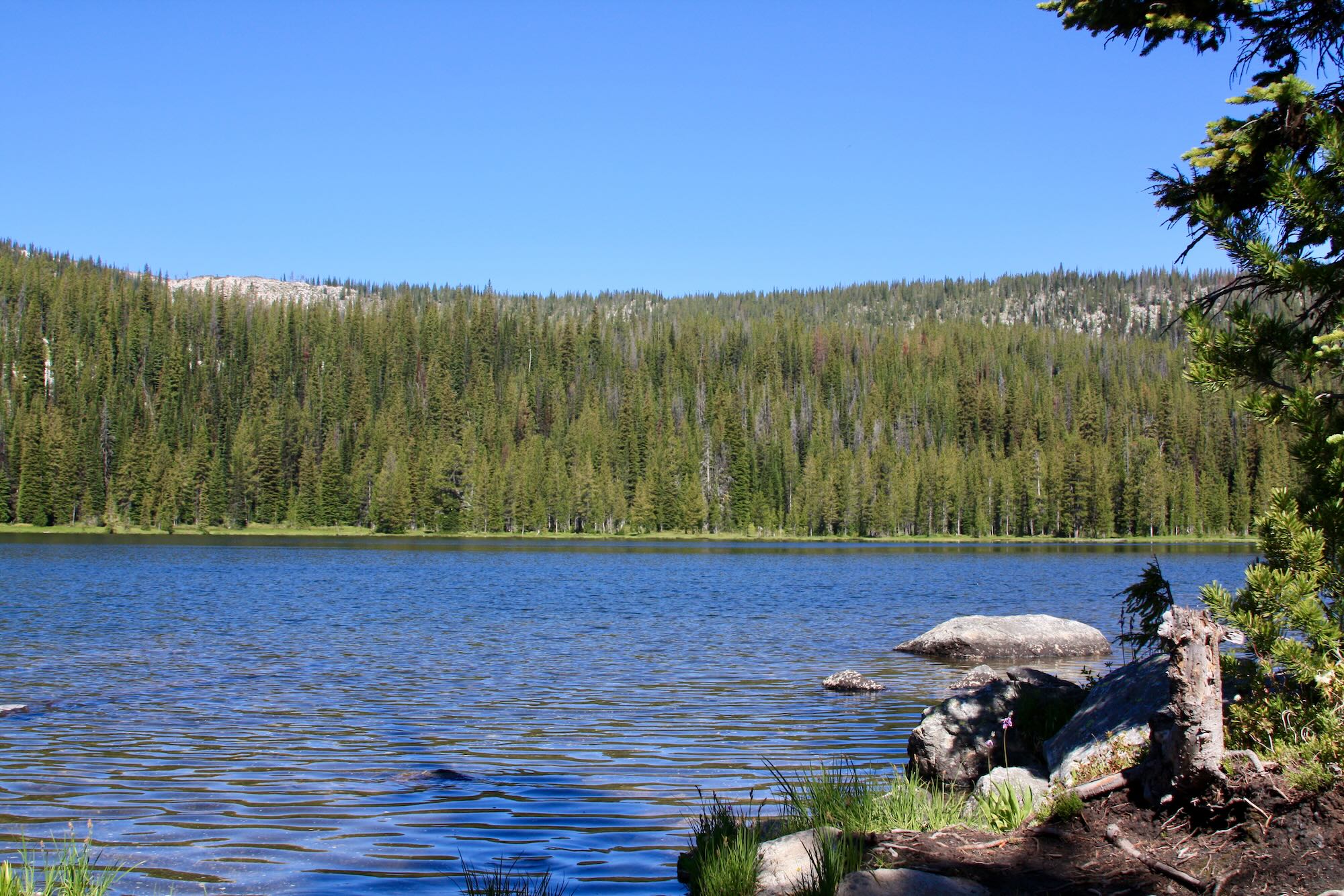
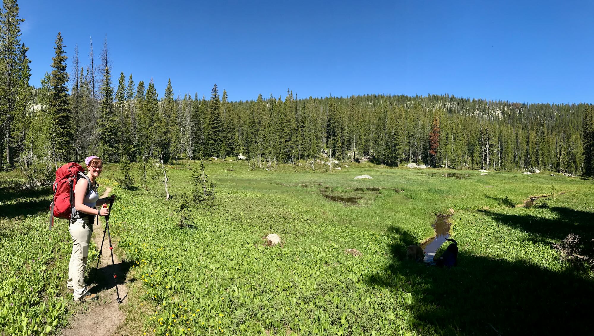
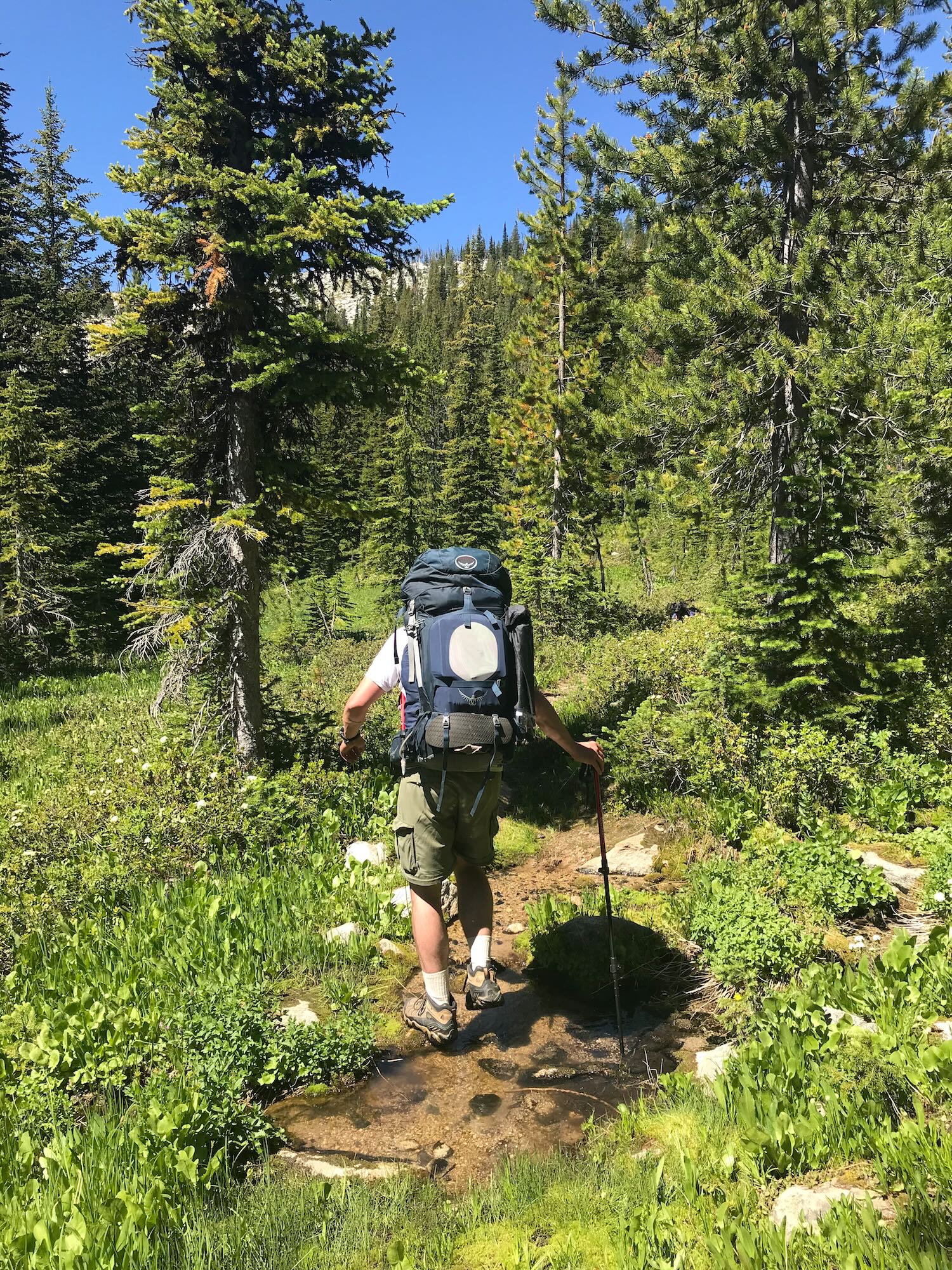
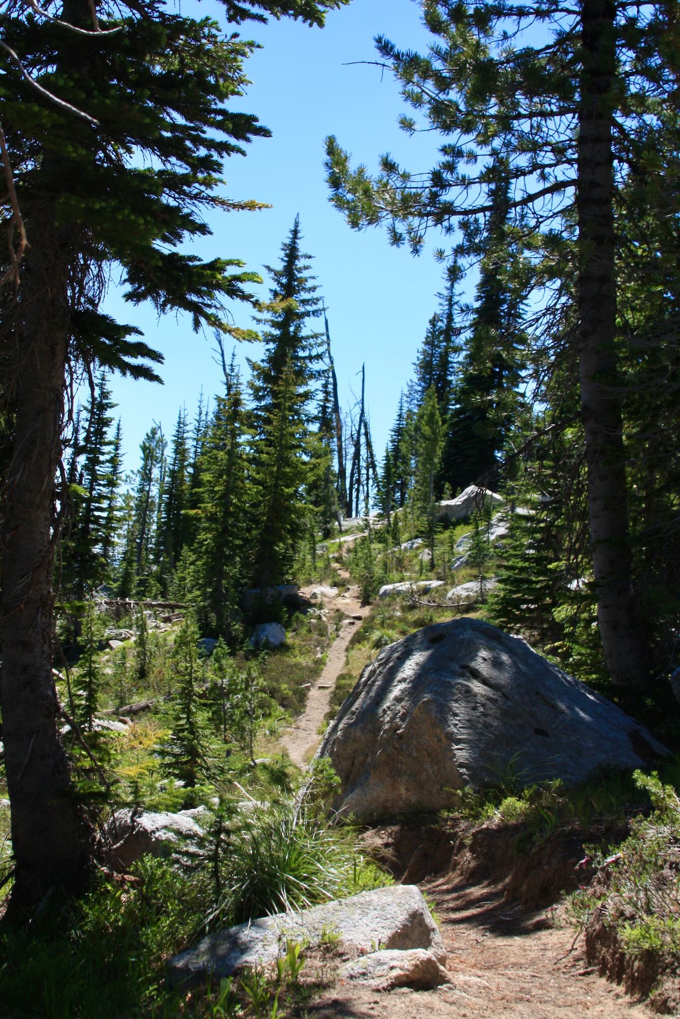
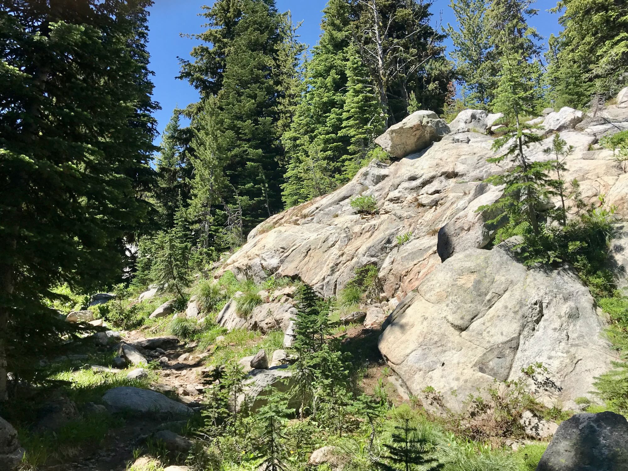
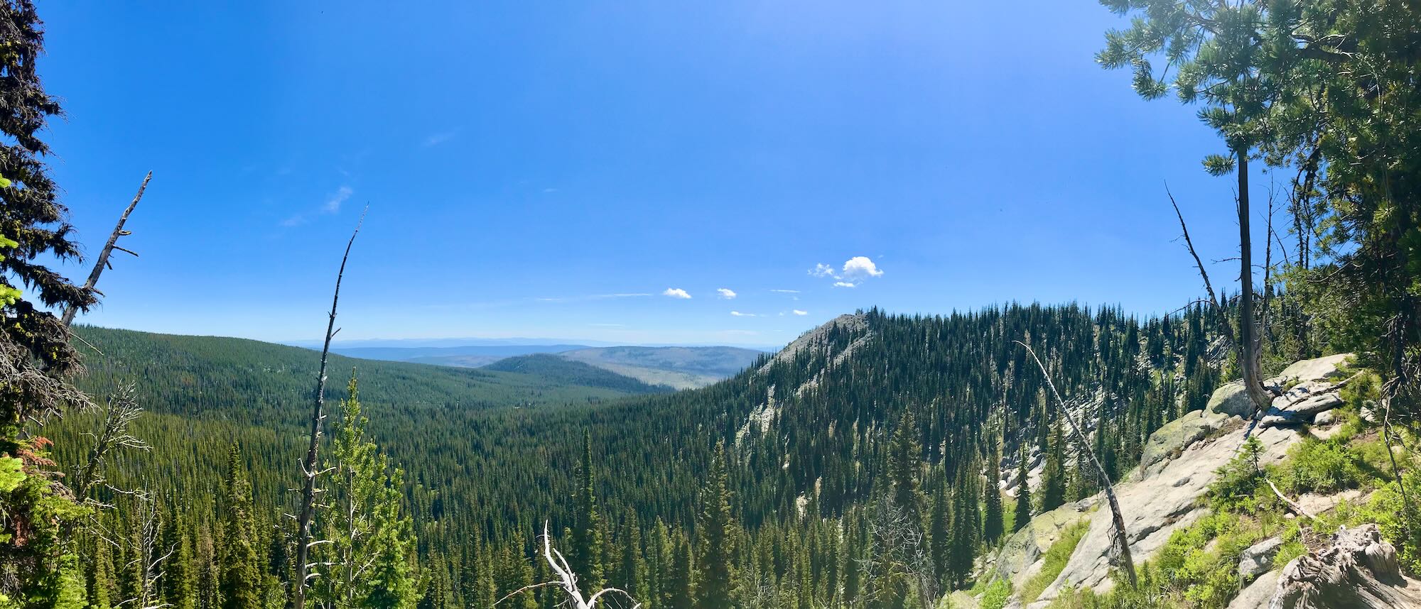
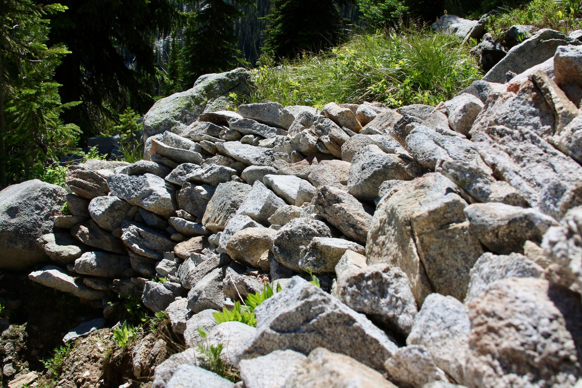
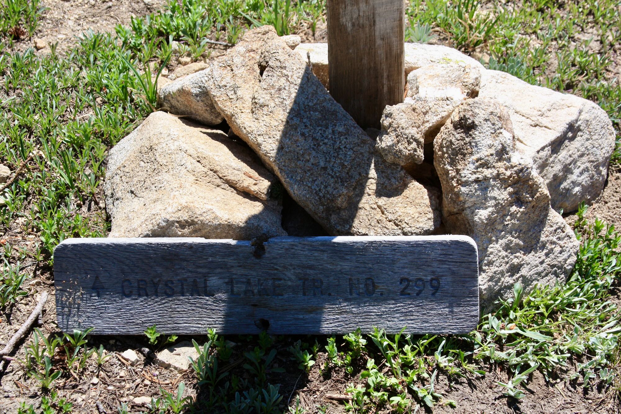
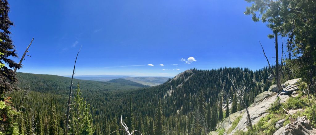
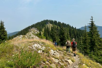
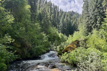
Crystal Lake Trail #299 is beautiful. Just a short distance through the trees, we stepped out into a lush meadow with a little creek running through it. The clear trail winds it way through shady trees, green meadows, and sun-bleached mountain boulders. As we climbed, the views simply got more incredible.
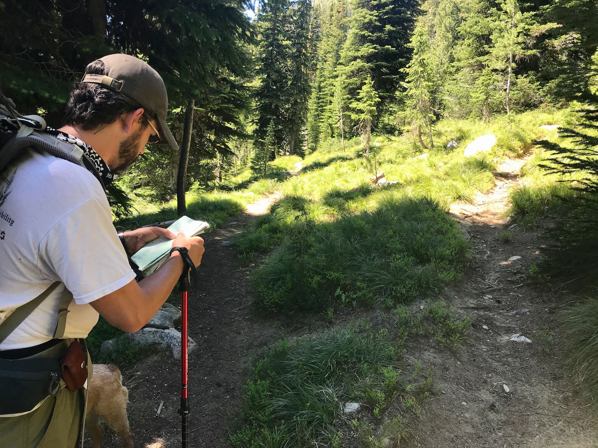
There are distinct sections of the trail, too. It starts off with a low incline winding through the trees and meadows, then begins switching back and forth as it climbs up through the rocks. Just before the trail starts to climb, it merges with Trail #800 coming in from up above Rainbow Lake.
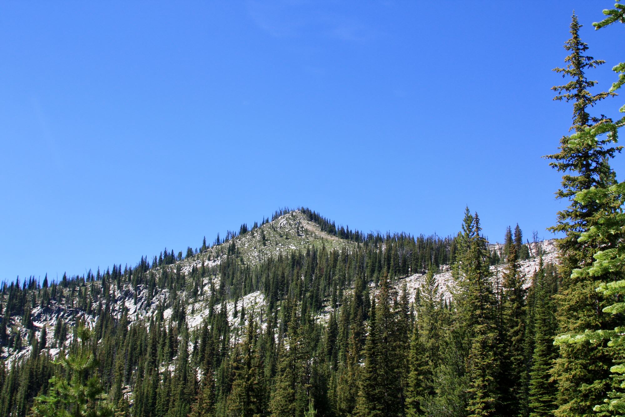
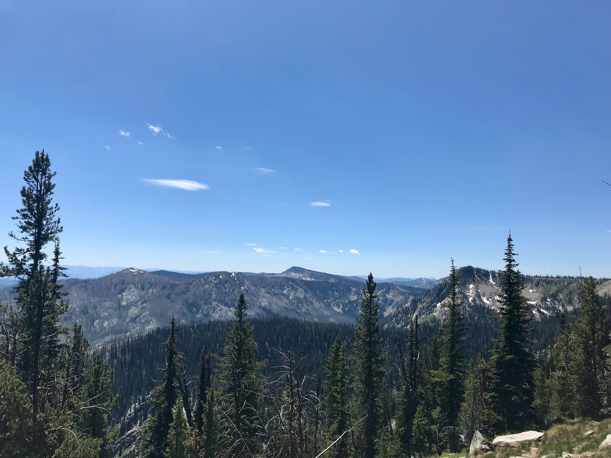
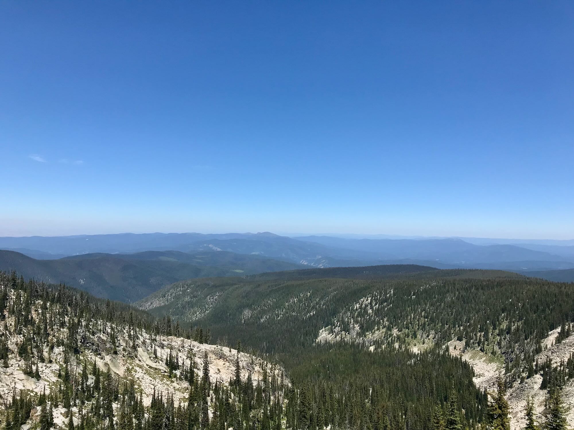
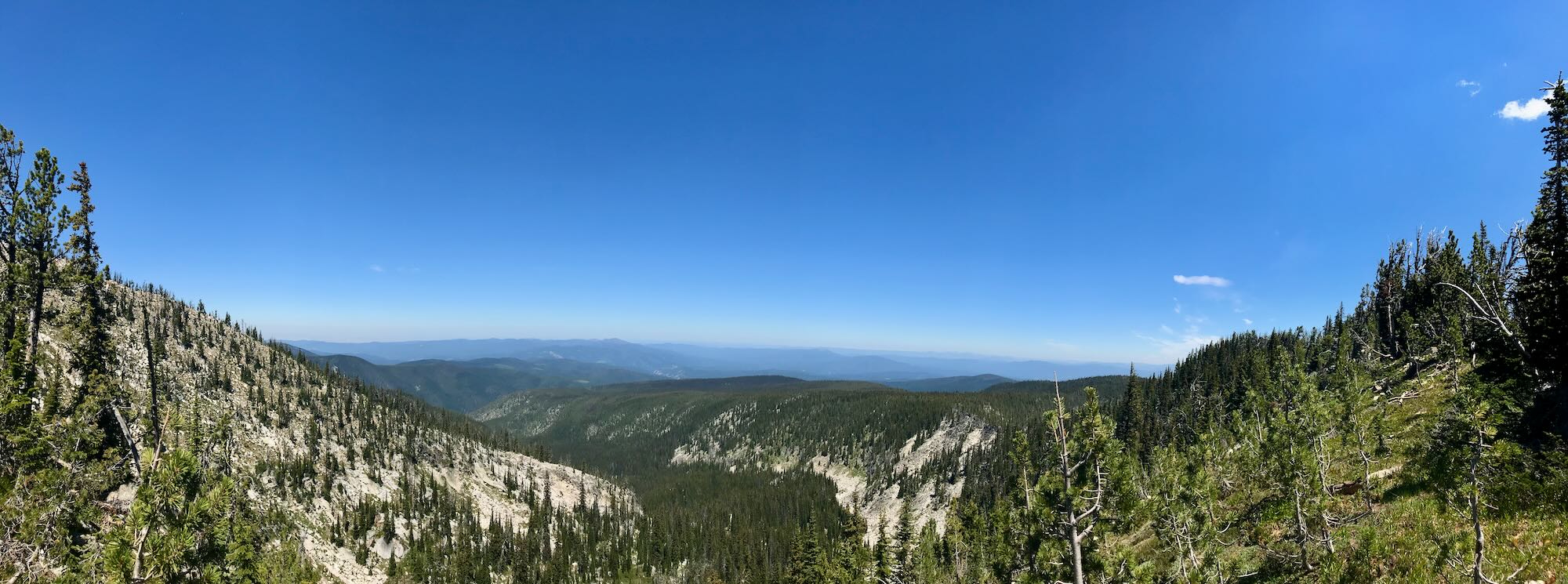
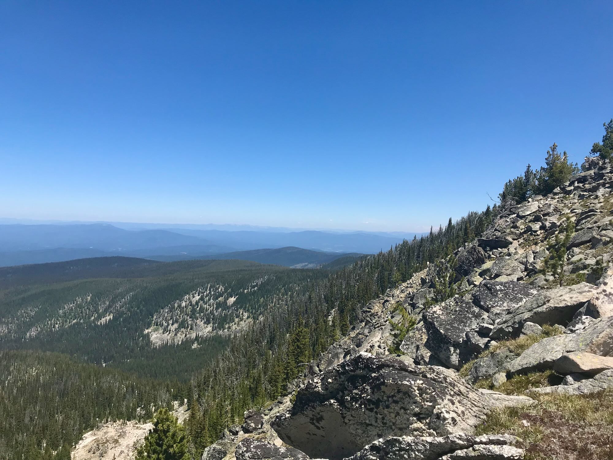
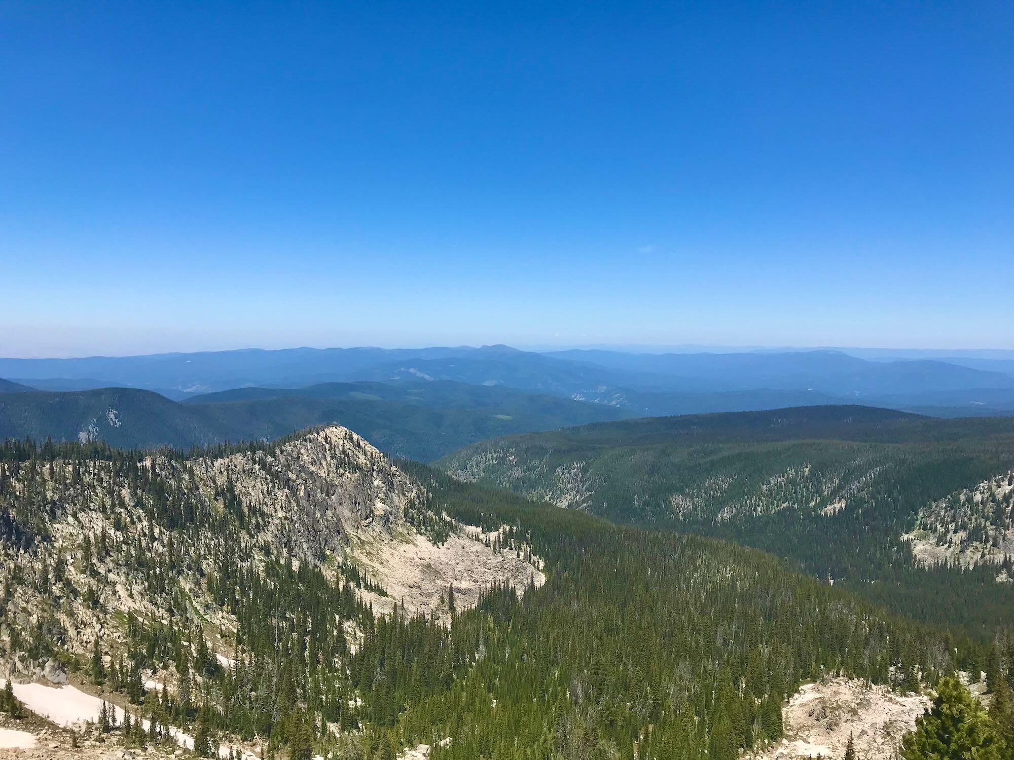
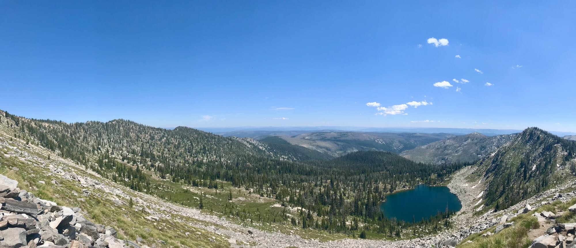
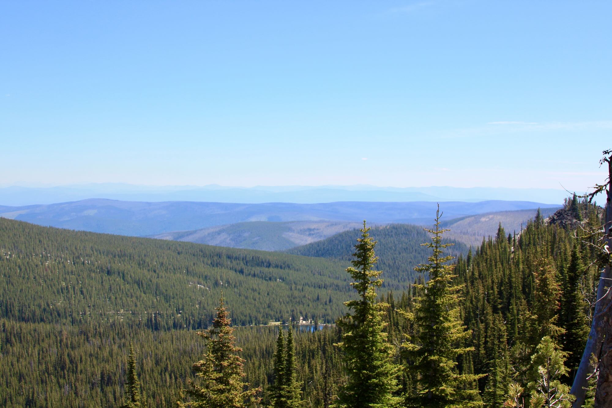
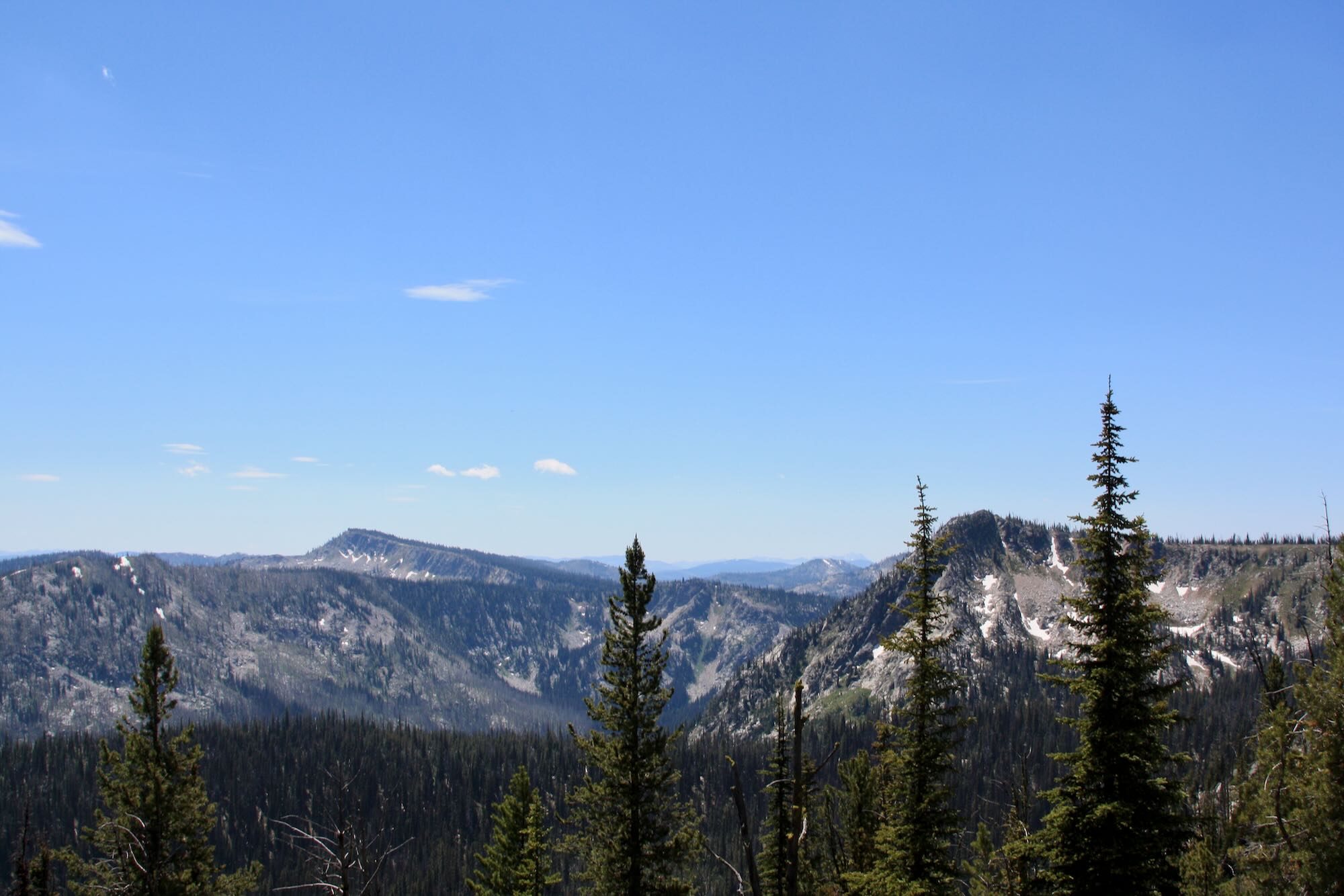
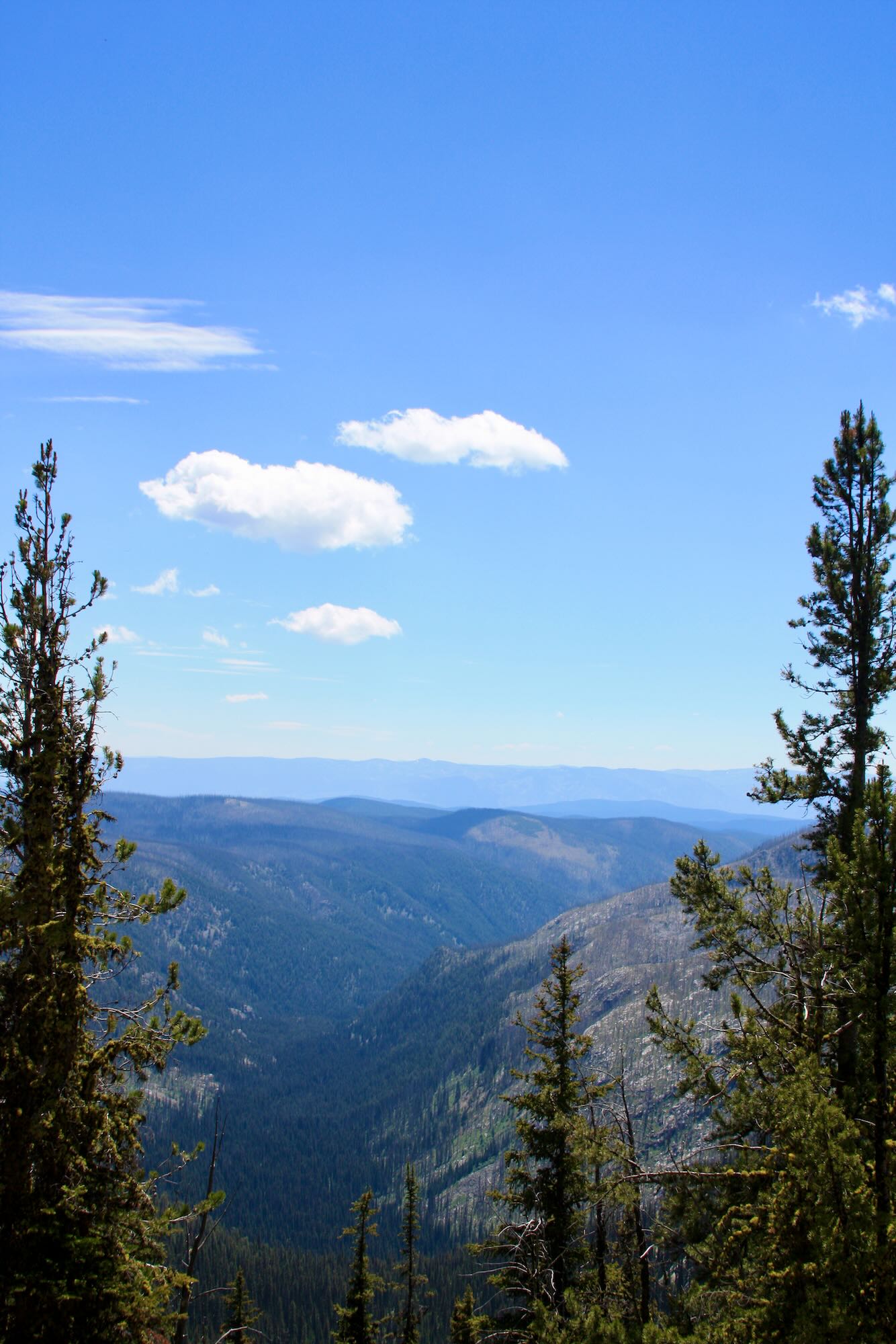
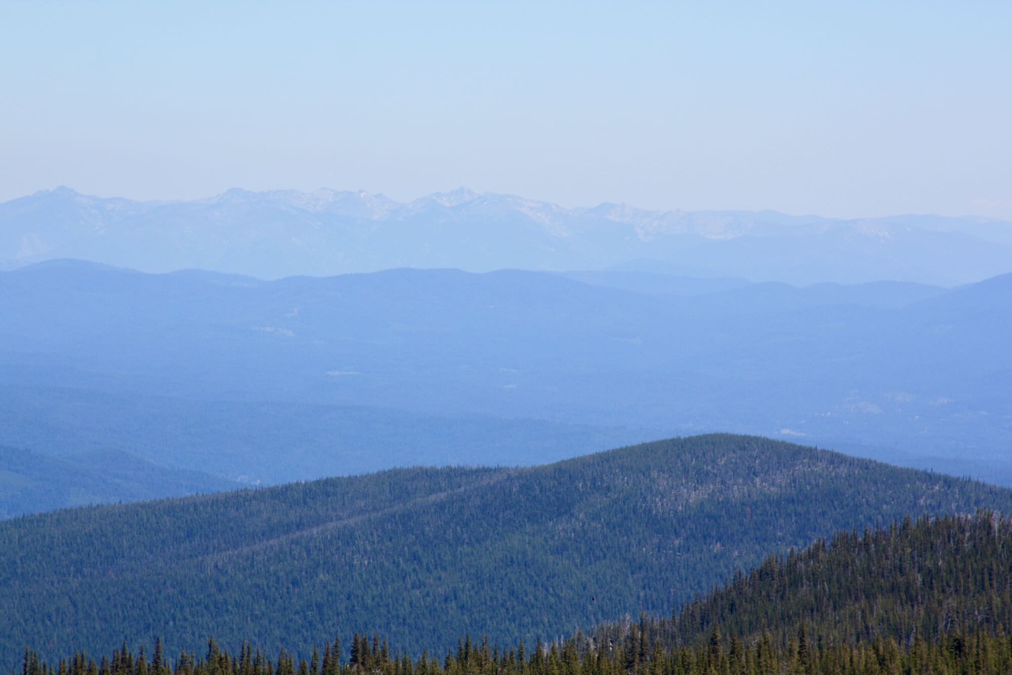
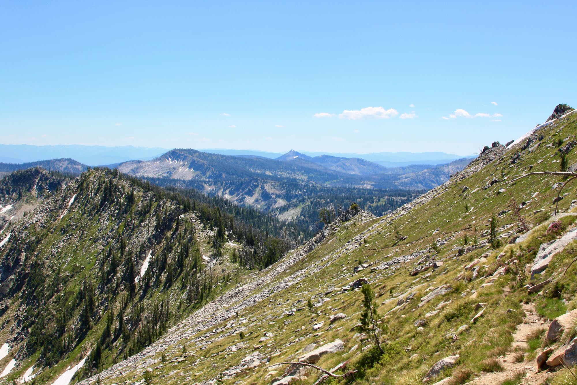
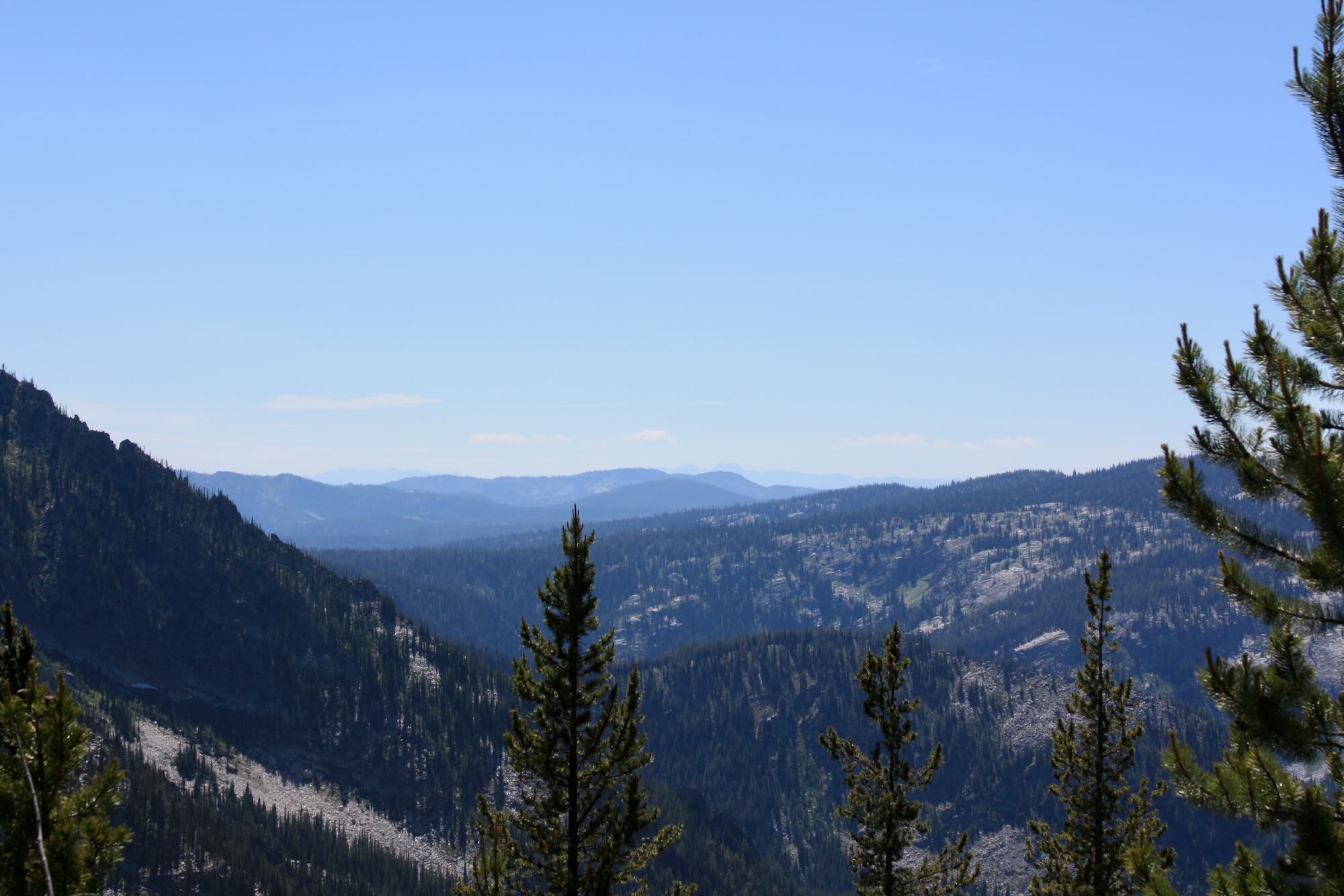
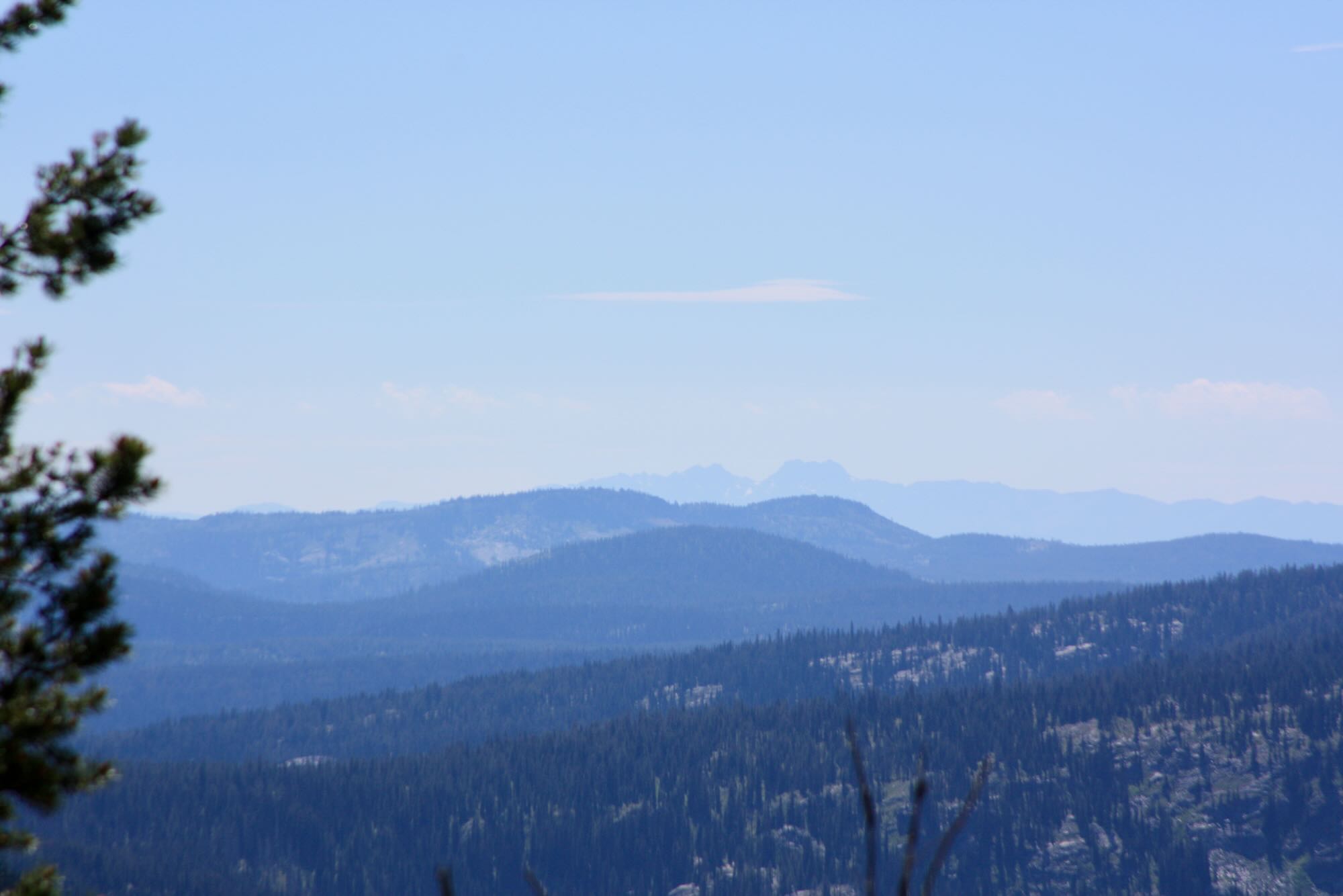
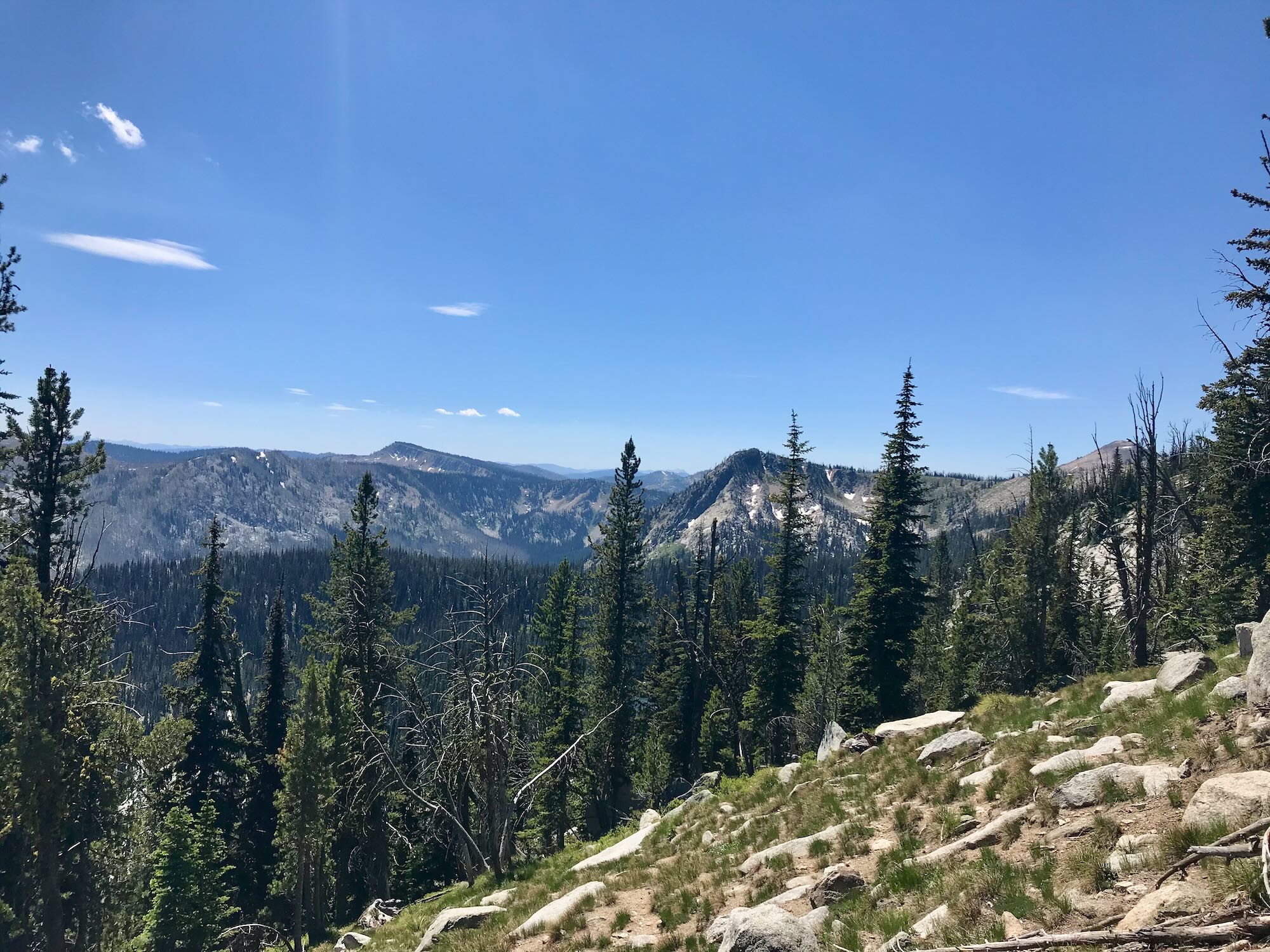
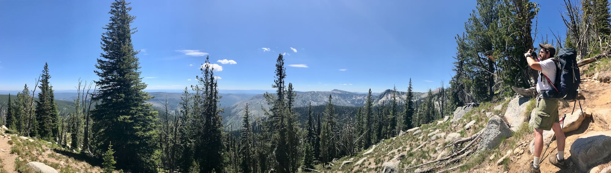
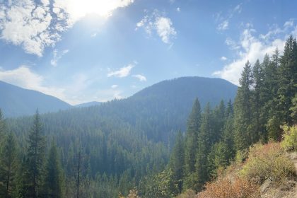
Eventually, the trail becomes a steady climb up along the side of the ridge, every turnout offering a more expansive view than the last. Once we were up on top of the ridge leading to the North Pole we could see for what seemed like forever in every direction. The Bitterroots bit into the horizon far to the northeast, Cottonwood Butte was a smudge on the Northwestern horizon, and the Seven Devils watched over their domain to the southwest. I did not know the names of the mountains looming in the distance south of the Salmon River, but its cut through the landscape was clearly visible.
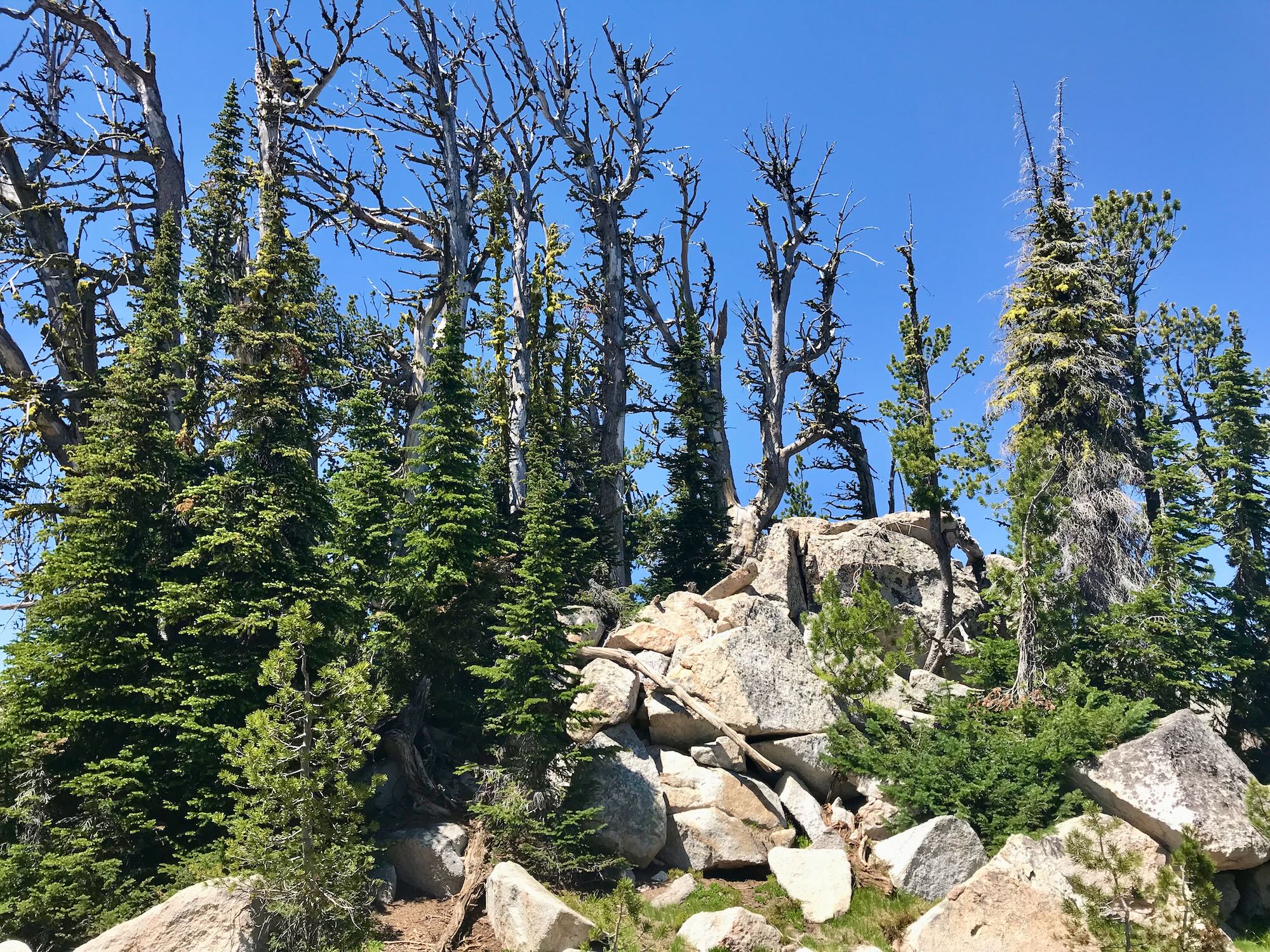
The ridge line leading up to the North Pole was littered with stunted, wind-blown trees that huddled up into perfect little camping spots. Well, perfect except for the winds that sweep across the ridge and the fact that you’re a thousand feet above your closest water source.
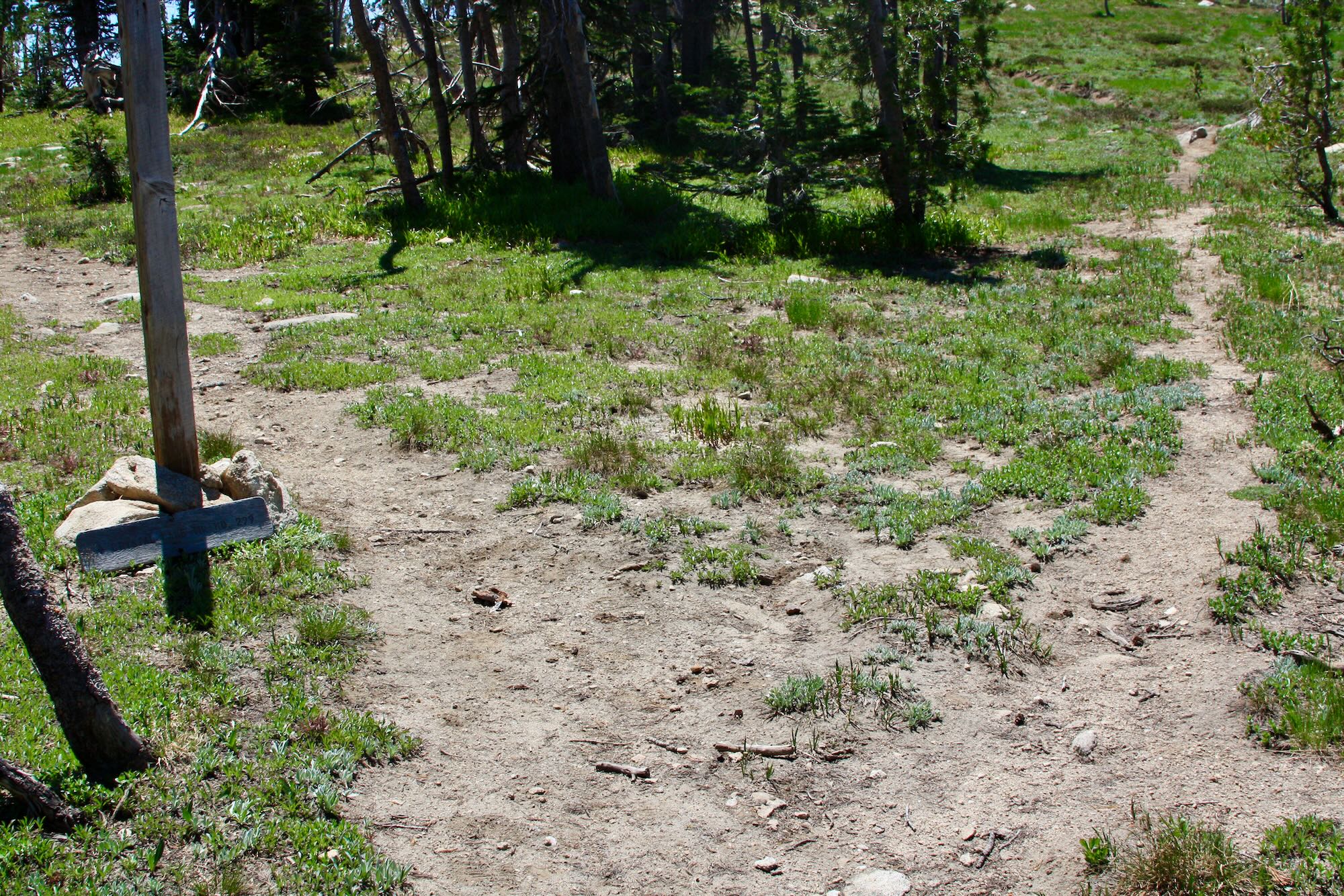
A sign propped up against the base of its post marks trail #299 as it cuts across the eastern face of the North Pole. Trail #800 splits off to the right and summits the North Pole, but it does not reconnect with Trail #299 on the far side, so we would have had to return to this junction to continue on to Crystal Lake. Amanda’s knee was starting to hurt, so we chose not to make the summit this time around.

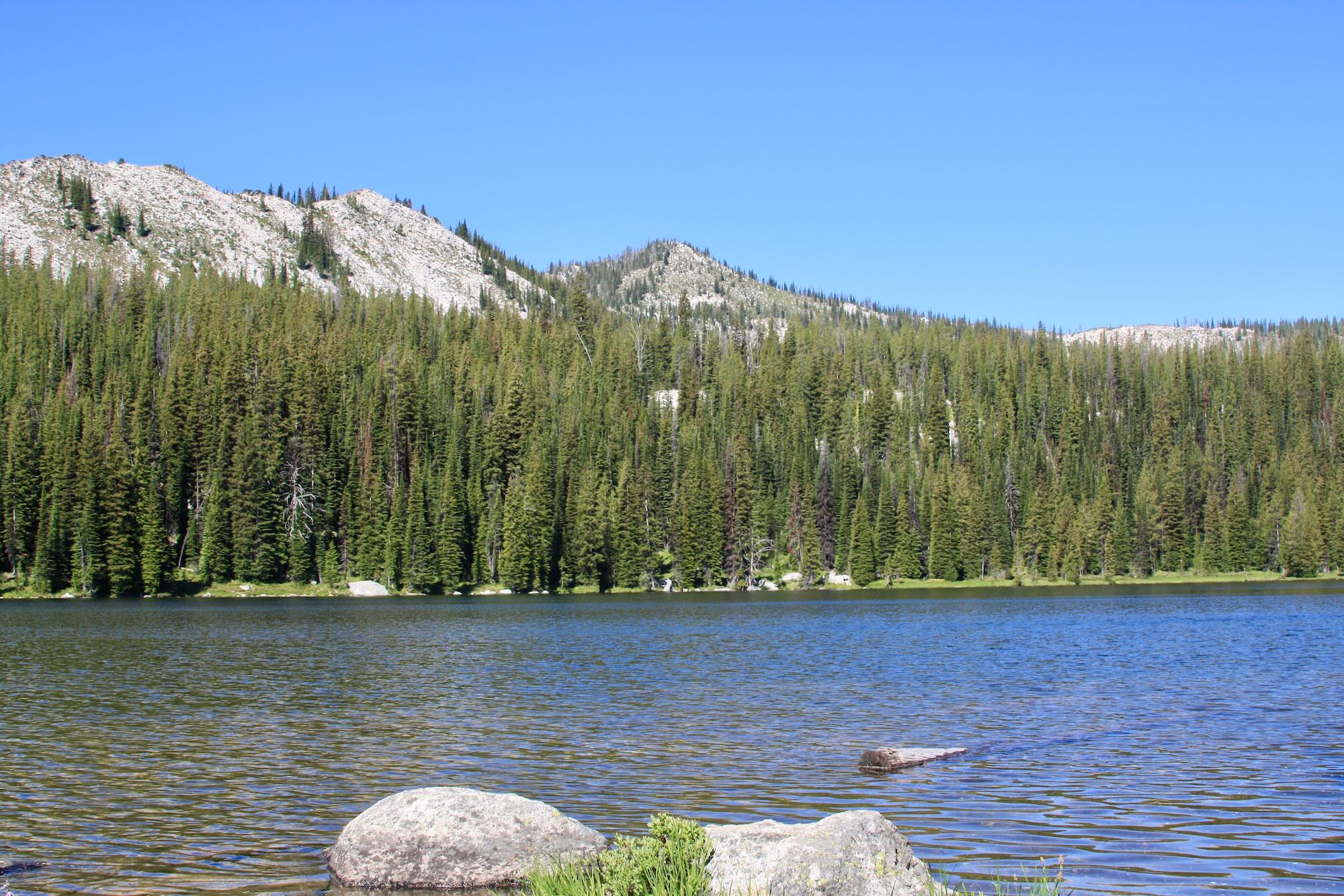
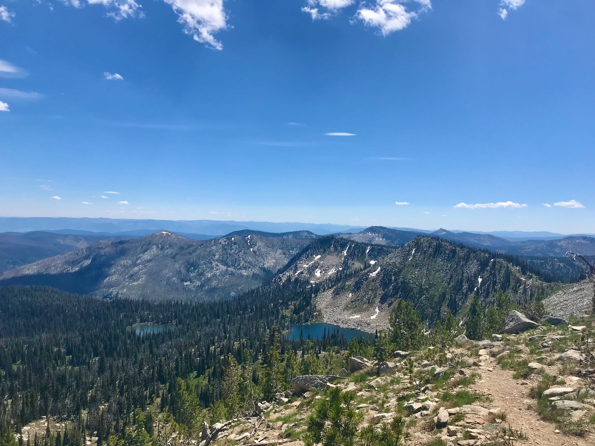
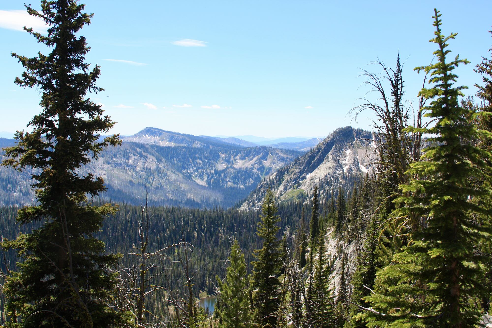
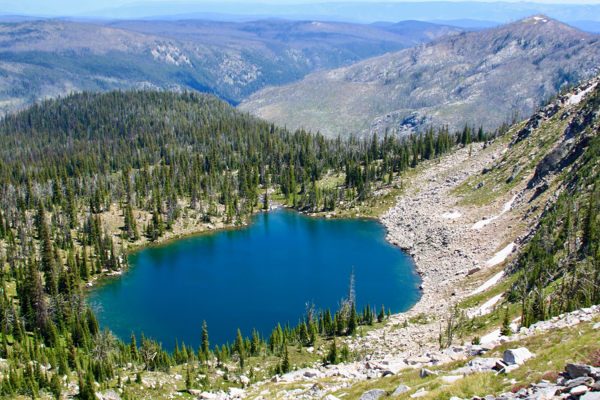
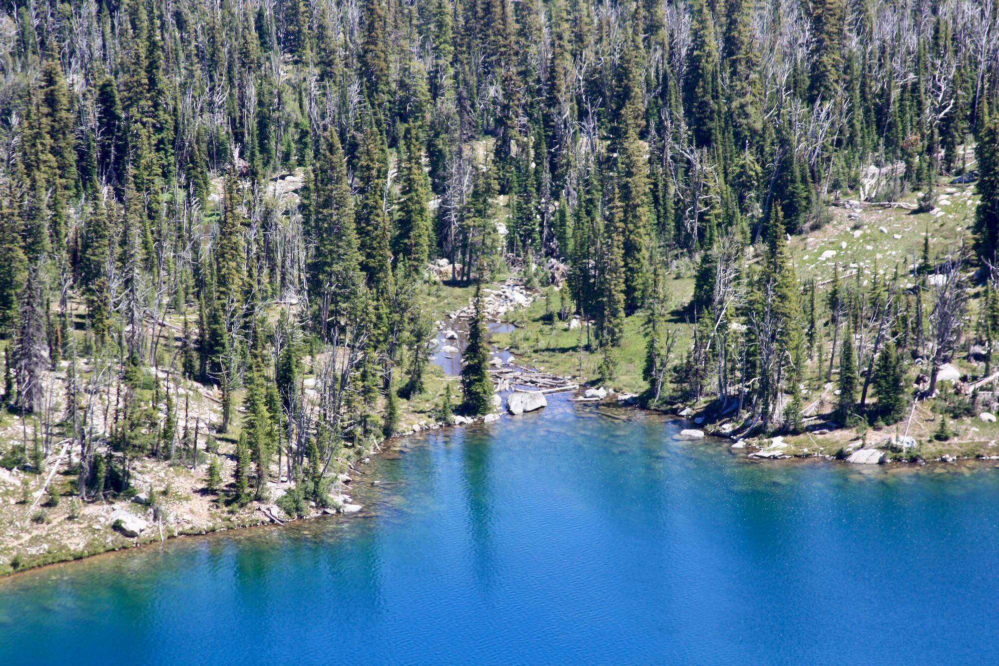
Kelly Lakes glistened below as we crossed the North Pole. There aren’t any maintained trails that lead down to Kelly Lakes, but apparently folks will make their way down from various places along trail. It makes for a good day hike out of Wildhorse Campground.
On the south side of the North Pole, Trail #299 drops down the west side of the ridge, away from Kelly Lakes and towards Wiseboy Creek. This steep, thousand foot descent with minimal switchbacks is easily the hardest part of the trail. The descent takes you almost all the way down to Wiseboy Creek before rising back up the far ridge, which is a four hundred foot climb. The trail then descends back down a steep four hundred feet or so to the shores of Crystal Lake.
Taking refuge in the welcome shade of a pine tree, we dropped our packs and did lunch. We hadn’t gone down very far, but the descent had already taken its toll on Amanda’s knee. Looking at the terrain before us, and realizing that we’d have to climb back up this slope in the morning, we made the hard decision to turn back after lunch.
It was disappointing to not make our destination, but it simply wasn’t worth the risk of getting stranded out there with a swollen knee or twisted ankle. Or both.
The hike back made for a long afternoon, but at least we ended up back at our truck and a surprisingly busy little campground. It was only a little after six in the evening, so we decided to just head home. The way out is always a little easier since you already know the way.

There’s a certain sense of adventure when you step out on a trail for the first time. You have a general idea of where you’re going and what you’re getting into, but you can’t know exactly how it’s going to play out. We expected more Trekkers on this hike, and we certainly didn’t expect to be turning around before reaching Crystal Lake, but the unexpected is just another chance to learn how to be better prepared in the future. What skills could we learn to be better prepared to deal with injuries on the trail? What tools can we use to better anticipate the path ahead and be able to make knowledgable decisions?
How have you faced the unexpected on your adventures in the wilderness? What lessons or skills did you learn to be better prepared in the future? Have you ever had? Tell us your story of when you had to turn back or drastically alter your travel plans in the comments below, or share with us on Facebook at The Clearwater Trekkers. We’d love to hear from you.
See you on the trail!
[…] That story sounded familiar. […]
Great post Todd. Too bad you didn’t get to spend the night at Crystal, but you and Amanda definitely made the right call. We had to make the same tough call two summers ago in the Seven Devils. It is hard to turn back and I was very upset with myself for it, but it was the right thing to do. It isn’t worth the injury that is likely to occur when your body is compensating.
On a lighter note, it sounds like the roads are still in the fantastic shape we remember 🙂 Getting to Wildhorse is half the adventure! We’ve camped there a couple times over the years- once a peaceful night with the area all to ourselves… another spent with neighbors who played AC/DC into the wee hours of the morning. Don’t get me wrong, I like myself some AC/DC, just not at midnight at such an otherwise peaceful location!
Happy trails,
Lusha
What a story, Lusha! And you’re right. Amanda’s ankle was compensating for her knee, so that started to hurt, too, as we came back down. Turning back is never fun, but it leaves us in good shape to hike another day.