When I Am Among the Trees
PostWhen I am among the trees, I breathe slowly, deeply. I listen. I might sway with the treetops or I might be still and hushed in the company of shadows. … Read More
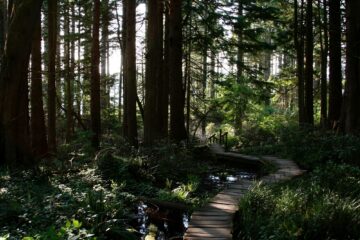
When I am among the trees, I breathe slowly, deeply. I listen. I might sway with the treetops or I might be still and hushed in the company of shadows. … Read More
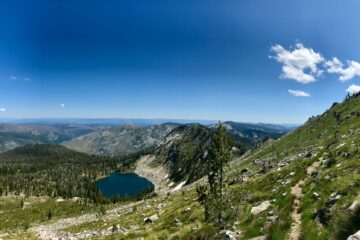
Trailhead Coordinates: 45.656273, -115.650857 Elevation Low: 7400 ft High: 8600 ft Gains: 1560 ft (one way) Distance: 6.8 miles (one way) Difficulty: Difficult Best Seasons: Summer Maps USGS Topo Map Quadrangle: North … Read More
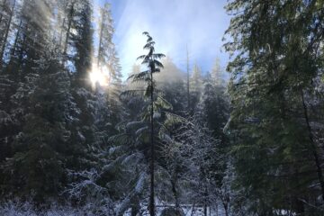
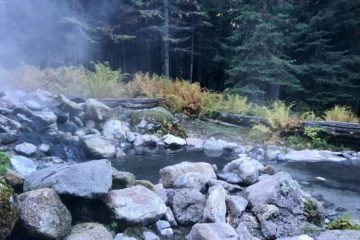
“The things that ignore us save us in the end.” – Andrew Harvey A twisted ankle had us digging through several inches of snow to uncover a fire pit and … Read More
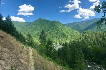
Trailhead Coordinates: 46.345433, -115.309014 Elevation Low: 2000 ft High: 2640 ft Distance: 17 miles (one way) Difficulty: Moderate to Difficult Best Seasons: Late Spring to Early Fall Maps: USGS Topo … Read More
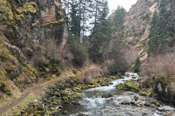
Trailhead Coordinates: 45.352411, -116.398703 Elevation: 2200 ft Overall elevation gain is minimal within the first 4 miles, but the trail does rise a fall along the hillside quite a bit. … Read More
Address: 1786 Forest Rd, Winchester, ID 83555 Elevation: 3920 ft Gains: 40 ft (80 ft if side trails are used) Distance: 3.3 miles (+1.5 miles of side trail) Difficulty: Easy Best … Read More
A Sunny Start to 2019 It was a beautiful day for a hike. Sunny skies on a cool day, just warm enough to strip a layer while hiking but cool … Read More
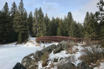
2018 introduced me to snowshoeing with a solo hike on the Fish Creek trails in Grangeville. It also introduced me to new friends on a day hike up Rapid River … Read More
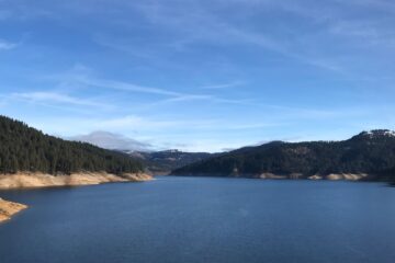
Apparently, 40% is betting odds for rain in the Lochsa. But there was nothing ominous about the clouds that sat low on the mountaintops and graced us with a light, … Read More